Nantithet
Settlement in Cornwall
England
Nantithet

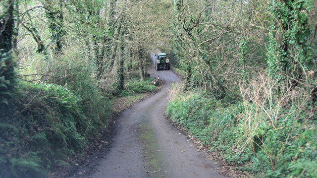
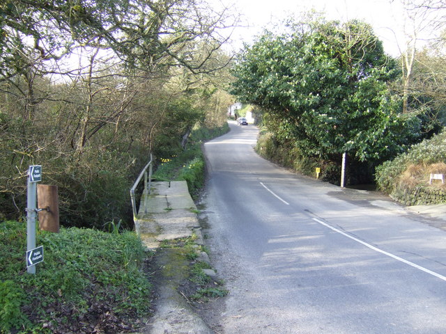
Nantithet is a small coastal village located in the county of Cornwall, in the southwestern part of England. Situated on the scenic coast of the Celtic Sea, Nantithet offers breathtaking views of the rocky cliffs and the expansive ocean. The village is nestled between two larger towns, St. Ives to the east and Penzance to the west.
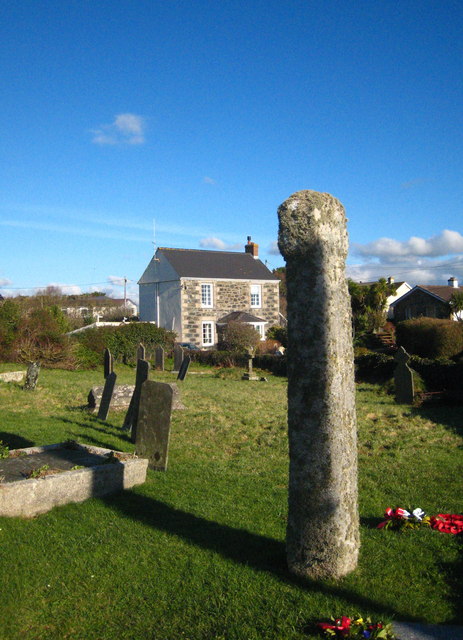
With a population of around 500 residents, Nantithet is known for its quaint and peaceful atmosphere. The village is characterized by its charming stone cottages, narrow winding streets, and a picturesque harbor that serves as a hub for local fishermen. The harbor also attracts visitors who enjoy leisurely strolls along the promenade, where they can admire the colorful fishing boats and observe the daily activities of the local fishing community.
Nantithet is a popular destination for nature enthusiasts, as it is surrounded by stunning natural landscapes. The nearby rugged cliffs and sandy beaches provide opportunities for coastal walks, birdwatching, and sunbathing during the warmer months. The village is also a gateway to the beautiful West Cornwall countryside, which offers extensive hiking trails and scenic drives through rolling hills and picturesque valleys.
Despite its small size, Nantithet boasts a few amenities for both locals and tourists. The village has a couple of cozy pubs serving traditional Cornish cuisine and locally brewed ales, as well as a handful of small shops and art galleries showcasing the work of local artists. Overall, Nantithet is a hidden gem in Cornwall, offering visitors a tranquil retreat surrounded by natural beauty and a glimpse into the traditional coastal life of the region.
If you have any feedback on the listing, please let us know in the comments section below.
Nantithet Images
Images are sourced within 2km of 50.057625/-5.240612 or Grid Reference SW6822. Thanks to Geograph Open Source API. All images are credited.


Nantithet is located at Grid Ref: SW6822 (Lat: 50.057625, Lng: -5.240612)
Unitary Authority: Cornwall
Police Authority: Devon and Cornwall
What 3 Words
///tailwind.sparkles.jacuzzi. Near Mullion, Cornwall
Nearby Locations
Related Wikis
Nantithet
Nantithet is a hamlet near Cury in west Cornwall, England. == References ==
Cury
Cury (Cornish: Egloskuri) is a civil parish and village in southwest Cornwall, England, United Kingdom. It is situated approximately four miles (6 km...

St Corentine's Church, Cury
St Corentine's Church, Cury is a Grade I listed parish church in the Church of England in Cury, Cornwall, England, UK. == History == The parish church...

Cross Lanes, Cornwall
Cross Lanes is a hamlet in the parish of Cury, Cornwall, England. Cross Lanes lies within the Cornwall Area of Outstanding Natural Beauty (AONB). ��2...
Nearby Amenities
Located within 500m of 50.057625,-5.240612Have you been to Nantithet?
Leave your review of Nantithet below (or comments, questions and feedback).