Nantgwyn
Settlement in Radnorshire
Wales
Nantgwyn

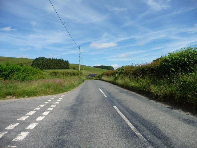
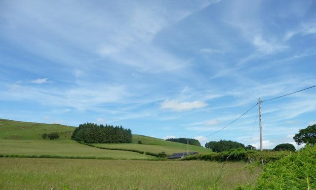
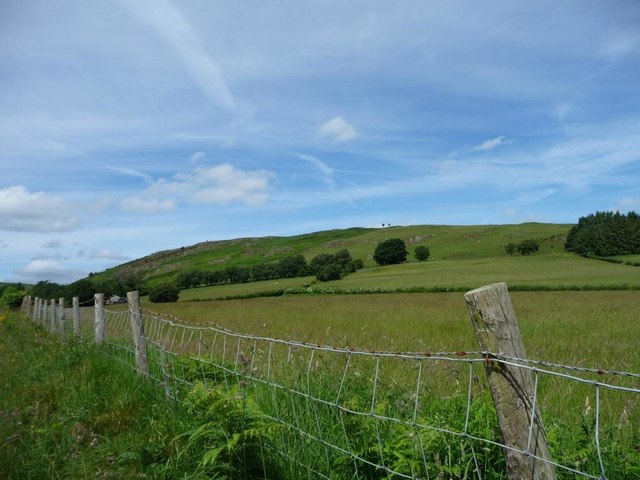
Nantgwyn is a small village located in the county of Radnorshire, in the heart of Wales. Situated in the picturesque countryside, it is surrounded by rolling hills, lush valleys, and charming woodlands. The village is nestled along the banks of the River Wye, offering stunning views and a tranquil atmosphere.
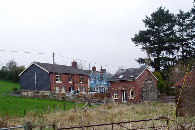
With a population of around 150 residents, Nantgwyn maintains its rural charm and close-knit community spirit. The village is known for its quaint stone cottages, some dating back to the 18th century, which add to its historic appeal. The local church, St. Mary's, is a prominent landmark, showcasing beautiful architecture and serving as a focal point for religious and community gatherings.
Nantgwyn offers a variety of outdoor activities for nature enthusiasts and visitors alike. The surrounding area provides ample opportunities for hiking, cycling, and fishing, with several scenic trails and fishing spots nearby. The village is also a popular destination for birdwatching, as it is home to a diverse range of bird species.
While Nantgwyn is primarily a residential area, there are a few local amenities to cater to the needs of its residents. These include a small convenience store, a village hall that hosts community events, and a friendly pub where locals and visitors can socialize and enjoy traditional Welsh hospitality.
In summary, Nantgwyn is a charming village in Radnorshire, Wales, offering a peaceful retreat for those seeking a rural getaway. Its natural beauty, historic buildings, and strong sense of community make it an attractive destination for both residents and tourists.
If you have any feedback on the listing, please let us know in the comments section below.
Nantgwyn Images
Images are sourced within 2km of 52.378689/-3.49993 or Grid Reference SN9876. Thanks to Geograph Open Source API. All images are credited.


![The infant Afon Dulas, near Cenarth Mill Looking upstream [locally north-west] from the bridge carrying the B4518.](https://s1.geograph.org.uk/geophotos/05/02/87/5028721_541b178c.jpg)


Nantgwyn is located at Grid Ref: SN9876 (Lat: 52.378689, Lng: -3.49993)
Unitary Authority: Powys
Police Authority: Dyfed Powys
What 3 Words
///hotels.foresight.alarming. Near Llanidloes, Powys
Nearby Locations
Related Wikis

Glan-yr-Afon Halt railway station
Glan-yr-Afon Halt railway station was a station to the southeast of Tylwch, Powys, Wales. The station was closed in 1962. == References == == Further... ==
Pantydwr railway station
Pantydwr railway station was a station to the north of St Harmon, Powys, Wales. The station was opened in 1864. The station was built at the highest point...

Mid and West Wales
Mid and West Wales or Mid and South West Wales is an ambiguous region of Wales that is sometimes used, consisting broadly of the preserved counties of...

Tylwch railway station
Tylwch railway station was a station in Tylwch, Powys, Wales. The station was closed in 1962.On 16 September 1899, an accident happened at the station...
Nearby Amenities
Located within 500m of 52.378689,-3.49993Have you been to Nantgwyn?
Leave your review of Nantgwyn below (or comments, questions and feedback).