Nantclwyd
Settlement in Denbighshire
Wales
Nantclwyd

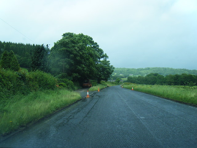
Nantclwyd is a small village located in the county of Denbighshire, Wales. Situated in the picturesque Vale of Clwyd, it lies approximately 4 miles southwest of the historic market town of Ruthin. The village is nestled amidst rolling green hills and offers breathtaking views of the surrounding countryside.
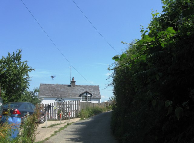
Nantclwyd is known for its rich history and charming character. It is home to several traditional Welsh cottages, many of which date back to the 18th century. These cottages are built with local stone and feature distinctive slate roofs, adding to the village's quaint atmosphere.
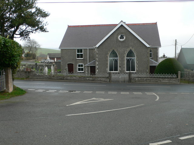
The centerpiece of Nantclwyd is the St. Marcella's Church, a beautiful Grade II listed building. This historic church, originally dating from the 12th century, underwent extensive renovations in the 19th century. It boasts impressive stained glass windows and a striking bell tower, making it a notable landmark in the area.
The village is surrounded by lush farmland, where agriculture has been a prominent industry for centuries. The fertile soil and favorable climate make it an ideal location for farming, with sheep and cattle farming being particularly prevalent.
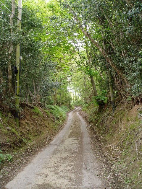
Nantclwyd is also a popular destination for outdoor enthusiasts, offering numerous walking and hiking trails that showcase the area's natural beauty. The nearby River Clwyd provides opportunities for fishing and boating, attracting visitors seeking recreational activities.
Overall, Nantclwyd is a charming and historically significant village, offering a tranquil retreat for those seeking a peaceful escape in the heart of the Welsh countryside.
If you have any feedback on the listing, please let us know in the comments section below.
Nantclwyd Images
Images are sourced within 2km of 53.056934/-3.326268 or Grid Reference SJ1151. Thanks to Geograph Open Source API. All images are credited.


Nantclwyd is located at Grid Ref: SJ1151 (Lat: 53.056934, Lng: -3.326268)
Unitary Authority: Denbighshire
Police Authority: North Wales
What 3 Words
///lazy.dollars.degrading. Near Bryneglwys, Denbighshire
Nearby Locations
Related Wikis

Nantclwyd Hall
Nantclwyd Hall is a 17th-century Grade II* listed mansion near the village of Llanelidan, Denbighshire, Wales, built by the Parry family, and rebuilt by...

Afon y Maes
Afon y Maes is a tributary river to the Clwyd and flows through the village of Llanelidan, Denbighshire, Wales. The river starts to the south of the village...
Nantclwyd railway station
Nantclwyd railway station was a station near Nantclwyd Hall, Llanelidan, Denbighshire, Wales. The station was opened on 22 September 1864 by the Denbigh...

St Elidan's Church, Llanelidan
St Elidan's Church is a Grade II*-listed building in the community of Llanelidan in Denbighshire, Wales. == References == == External links == Media related...
Llanelidan
Llanelidan is a small village and community in the county of Denbighshire in north-east Wales. The community also includes the hamlet of Rhyd-y-Meudwy...
Llannerch
Llannerch (sometimes spelled Llanerch) was a commote in the cantref of Dyffryn Clwyd which later became the Marcher Lordship of Ruthin. Situated in an...
Rhyd-y-Marchogion
Rhyd-y-Marchogion was a farm in Llanelidan, Denbighshire. The farmhouse, attached cartshed, and garden wall as well as the farmyard buildings are Grade...
Clawddnewydd
Clawddnewydd is a village in the community of Derwen, Denbighshire. The village has a community centre (Canolfan Cae Cymro), a shop (Siop y Fro) and a...
Nearby Amenities
Located within 500m of 53.056934,-3.326268Have you been to Nantclwyd?
Leave your review of Nantclwyd below (or comments, questions and feedback).