Nantyrarian
Settlement in Brecknockshire
Wales
Nantyrarian
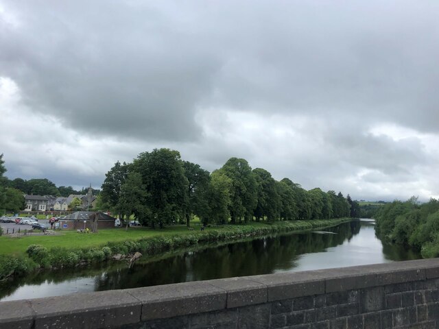
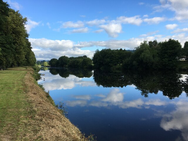
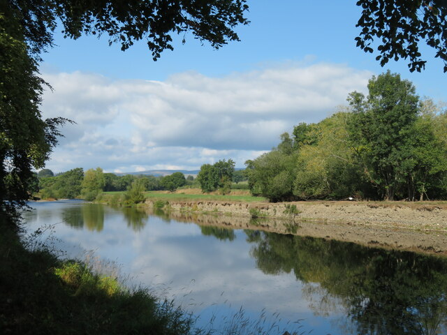
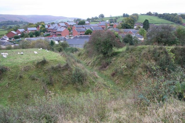
Nantyrarian is a small village located in the county of Brecknockshire, Wales. It is situated in the beautiful countryside, surrounded by rolling hills and lush green landscapes. The village is nestled in the Usk Valley, near the confluence of the Nant Yrarian River and the River Usk.
With a population of around 500 people, Nantyrarian is a tight-knit community known for its friendly and welcoming atmosphere. The village has a rich history, dating back to the medieval period, and there are several historic landmarks that reflect its heritage.
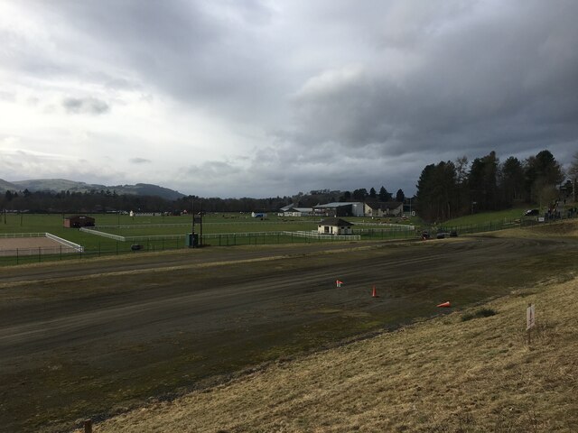
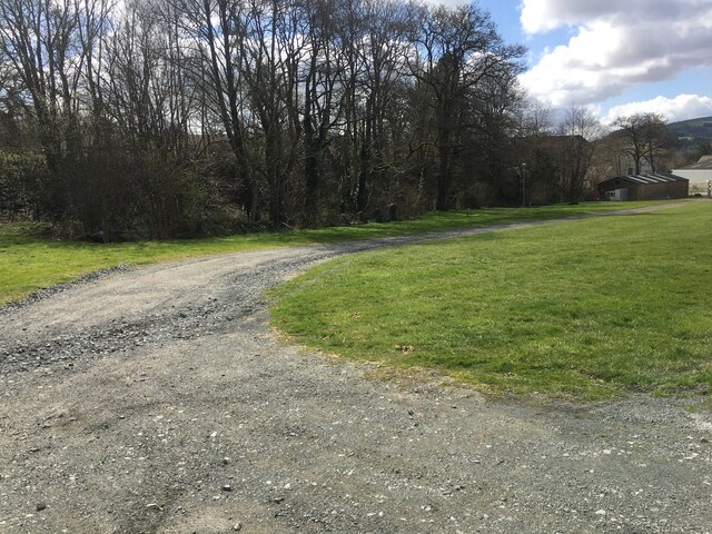
One notable feature of Nantyrarian is its picturesque countryside, which offers numerous opportunities for outdoor activities such as hiking, cycling, and fishing. The nearby Brecon Beacons National Park provides stunning views and is a popular destination for nature enthusiasts.
Although small, the village has a few essential amenities. There is a local pub that serves as a social hub for residents and visitors alike, providing a place to relax and enjoy traditional Welsh cuisine. Additionally, a small convenience store caters to the daily needs of the community.
Nantyrarian is well-connected to the surrounding areas, with regular bus services and good road links. The village also benefits from its proximity to larger towns, such as Brecon, which provide additional services and amenities.
Overall, Nantyrarian offers a peaceful and idyllic setting, making it an attractive place to live or visit for those seeking a rural retreat in the heart of Wales.
If you have any feedback on the listing, please let us know in the comments section below.
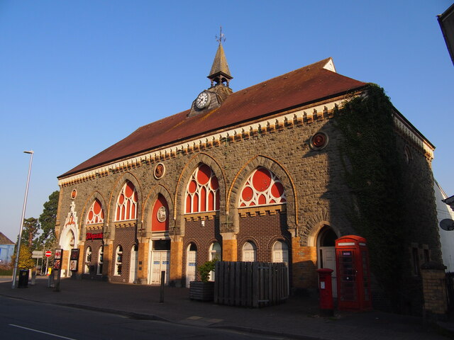
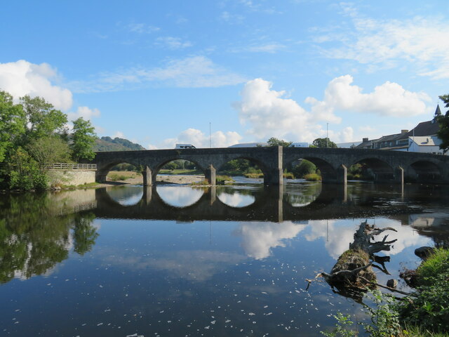
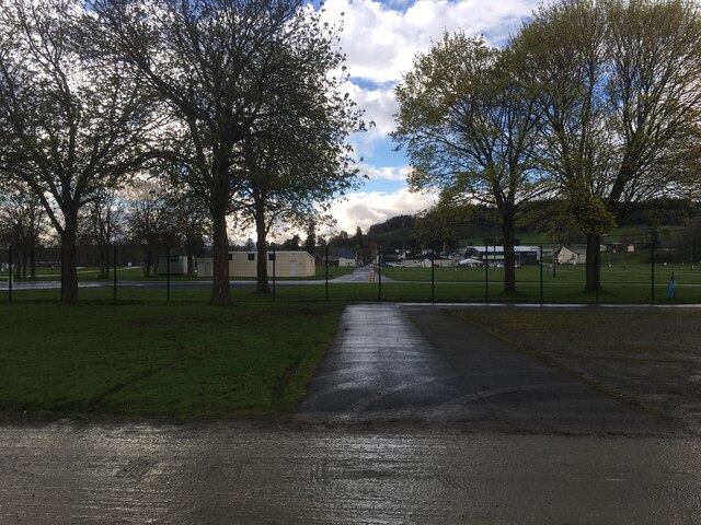
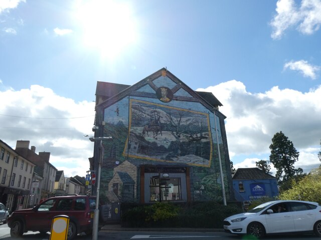
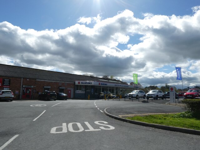
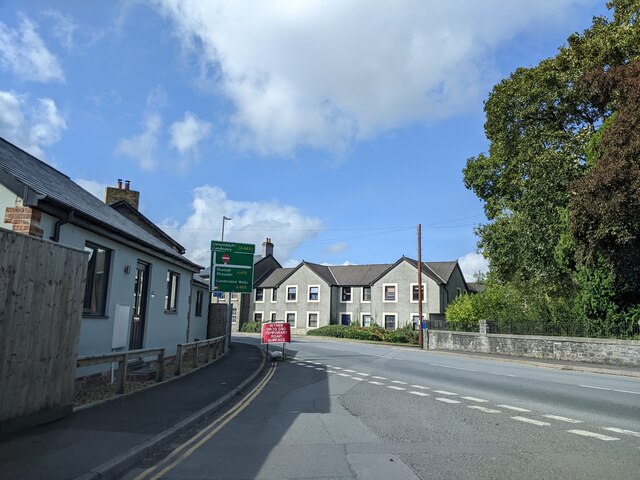
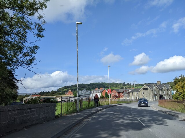
Nantyrarian Images
Images are sourced within 2km of 52.14526/-3.413883 or Grid Reference SO0350. Thanks to Geograph Open Source API. All images are credited.


Nantyrarian is located at Grid Ref: SO0350 (Lat: 52.14526, Lng: -3.413883)
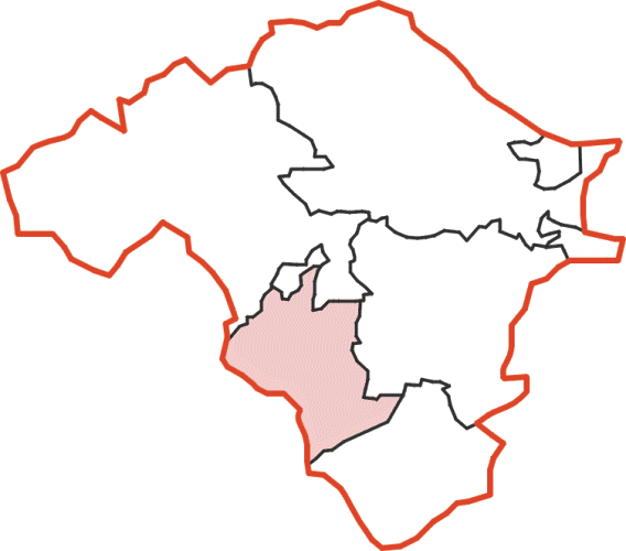
Unitary Authority: Powys
Police Authority: Dyfed Powys
Also known as: Nant yr Arian
What 3 Words
///publisher.fuzzy.dawn. Near Builth Wells, Powys
Nearby Locations
Related Wikis
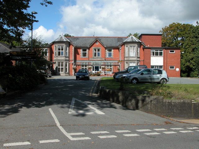
Builth Wells Hospital
Builth Wells Hospital (Welsh: Ysbyty Llanfair ym Muallt) was a heath facility in Bronllys, Wales. It was managed by Powys Teaching Health Board. ��2�...

Builth Wells
Builth Wells (; Welsh: Llanfair-ym-Muallt) is a market town and community in the county of Powys and historic county of Brecknockshire (Breconshire), mid...
Colwyn Rural District
Colwyn was, from 1894 to 1974, a rural district in the administrative county of Radnorshire, Wales. The district was formed by the Local Government Act...

Builth Wells F.C.
Builth Wells F.C. is a Welsh football club based in Builth Wells, Powys. They are currently playing in the Ardal Leagues North East, the third tier of...
Builth Castle
Builth Castle (Welsh: Castell Llanfair-ym-Muallt) was a castle built under King Edward I, just outside Builth Wells, Powys, Wales. At one time it was an...
Builth Wells railway station
Builth Wells railway station, in Llanelwedd Powys Wales was opened as Builth station on 21 September 1864 by the Mid-Wales Railway, although excursions...

Llanelwedd
Llanelwedd [ɬanˈɛlwɛð] is a village and community near Builth Wells, in Powys, Wales. It lies within the historic boundaries of Radnorshire. Llanelwedd...
Builth Wells transmitting station
The Builth Wells television relay station is sited on high ground to the north of the town of Builth Wells in Powys, South Wales. It was originally built...
Nearby Amenities
Located within 500m of 52.14526,-3.413883Have you been to Nantyrarian?
Leave your review of Nantyrarian below (or comments, questions and feedback).