Nanstallon
Settlement in Cornwall
England
Nanstallon
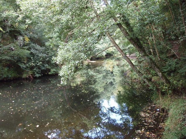
Nanstallon is a small village located in the county of Cornwall, England. Situated along the River Camel, it is nestled within the picturesque countryside and offers a tranquil and idyllic setting for residents and visitors alike. The village is part of the civil parish of Lanivet, which is just a short distance away.
Despite its small size, Nanstallon boasts a rich history that can be traced back many centuries. It is known for its connection to the mining industry, with evidence of tin and copper mining dating back to the 18th century. The remains of former mine buildings can still be seen in the surrounding area, providing a glimpse into the village's industrial past.
Nature lovers will find plenty to explore in Nanstallon, as it is surrounded by beautiful landscapes and offers easy access to the nearby Bodmin Moor. Outdoor activities such as hiking, cycling, and fishing are popular pastimes for both locals and tourists. The River Camel also provides opportunities for boating and kayaking.
In terms of amenities, Nanstallon is served by a local pub that offers a warm and friendly atmosphere for residents and visitors to enjoy. While the village itself may not have extensive facilities, the nearby town of Bodmin provides a range of services including shops, schools, and healthcare facilities.
Overall, Nanstallon is a charming village that offers a peaceful retreat in the heart of Cornwall. Its natural beauty, historical significance, and proximity to larger towns make it an attractive destination for those seeking a rural getaway.
If you have any feedback on the listing, please let us know in the comments section below.
Nanstallon Images
Images are sourced within 2km of 50.471156/-4.768022 or Grid Reference SX0367. Thanks to Geograph Open Source API. All images are credited.


Nanstallon is located at Grid Ref: SX0367 (Lat: 50.471156, Lng: -4.768022)
Unitary Authority: Cornwall
Police Authority: Devon and Cornwall
What 3 Words
///shredder.lights.hook. Near Bodmin, Cornwall
Nearby Locations
Related Wikis

Nanstallon
Nanstallon is a village in mid-Cornwall, England, United Kingdom. It is situated approximately two miles (3 km) west of Bodmin.Nanstallon is in the civil...

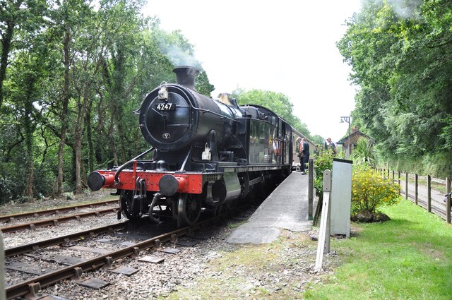
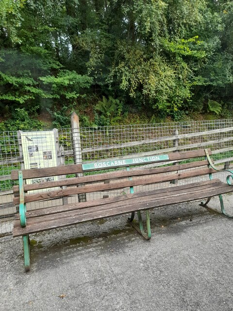
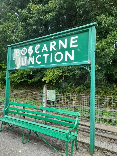
Boscarne Junction railway station
Boscarne Junction railway station (Cornish: Kemper Boskarn) is a railway station on the Bodmin and Wenford Railway in Cornwall, England, United Kingdom...

New Downs
New Downs is a farm near Camborne and St Agnes in Cornwall, England. == History == The location has been known as New Down or New Downs since at least...
Dunmere, Cornwall
Dunmere (Cornish: Dinmeur) s a hamlet in Cornwall, England, United Kingdom. It is situated one mile northwest of Bodmin in the valley of the River Camel...
Nearby Amenities
Located within 500m of 50.471156,-4.768022Have you been to Nanstallon?
Leave your review of Nanstallon below (or comments, questions and feedback).