Nab Hill

Settlement in Yorkshire

England

Nab Hill

Bus shelter, Albany Road, Dalton, Huddersfield
Bus shelter, Albany Road, Dalton, Huddersfield Credit: habiloid

Nab Hill is a prominent geographical feature located in the county of Yorkshire, England. Situated near the town of Hebden Bridge, this hill rises to an elevation of approximately 1,100 feet, offering breathtaking panoramic views of the surrounding countryside. It is a popular destination for hikers, nature enthusiasts, and photographers, attracting visitors from both near and far.

Covered in lush greenery, Nab Hill is known for its diverse flora and fauna, making it an ideal spot for wildlife observation. The hill is home to a variety of bird species, including kestrels, buzzards, and peregrine falcons, providing ample opportunities for birdwatchers. The surrounding area also features a mix of woodland and open moorland, creating a rich and varied landscape.

Historically, Nab Hill has played a significant role in the region. It is believed that the hill served as a lookout point during ancient times, offering strategic advantages for early settlers. Today, remnants of ancient hillforts and burial mounds can still be found, providing glimpses into the area's past.

Access to Nab Hill is facilitated by a network of footpaths and trails that wind through the picturesque Yorkshire countryside. The hill can be reached via a moderately challenging hike, rewarding visitors with stunning views from the summit. Additionally, nearby facilities include parking areas, picnic spots, and information boards, ensuring a pleasant and informative visit.

In summary, Nab Hill is a captivating destination in Yorkshire, offering both natural beauty and historical significance. It provides an opportunity to immerse oneself in the stunning landscapes and wildlife of the region, making it a must-visit location for outdoor enthusiasts and history buffs alike.

If you have any feedback on the listing, please let us know in the comments section below.
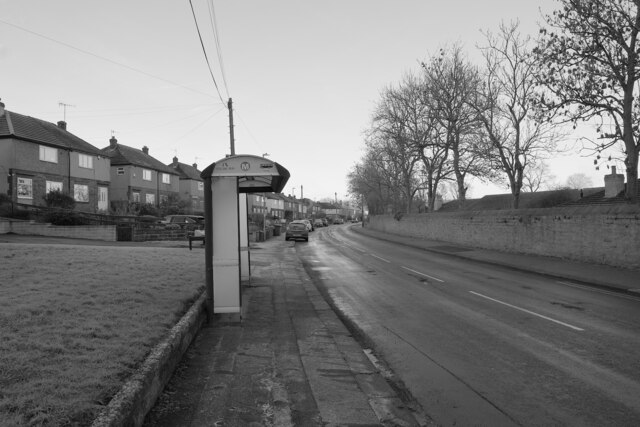
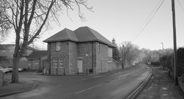
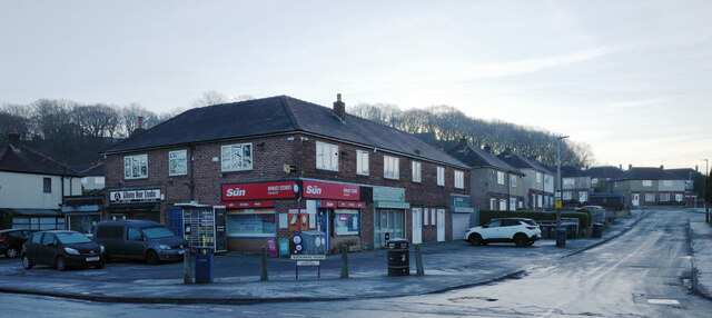
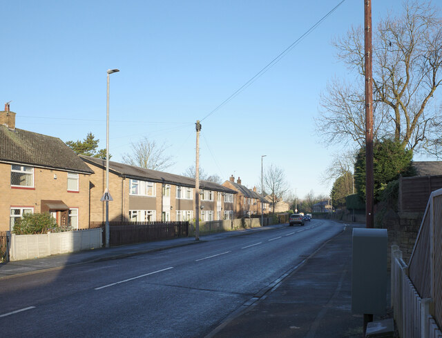
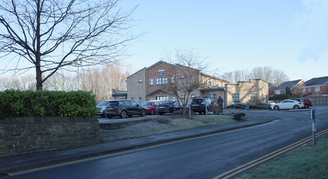
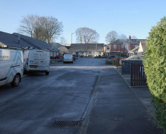
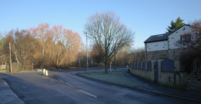
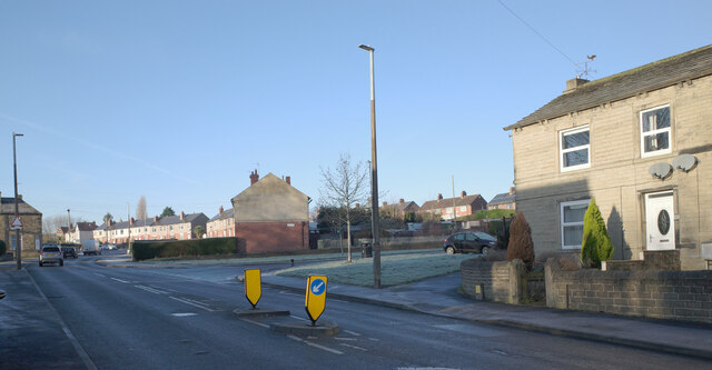
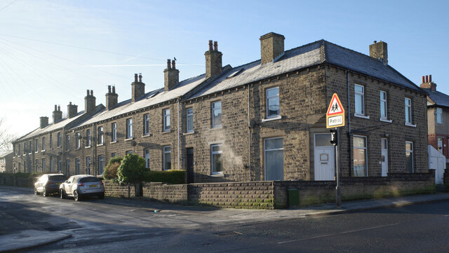
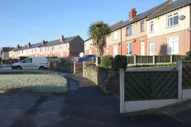
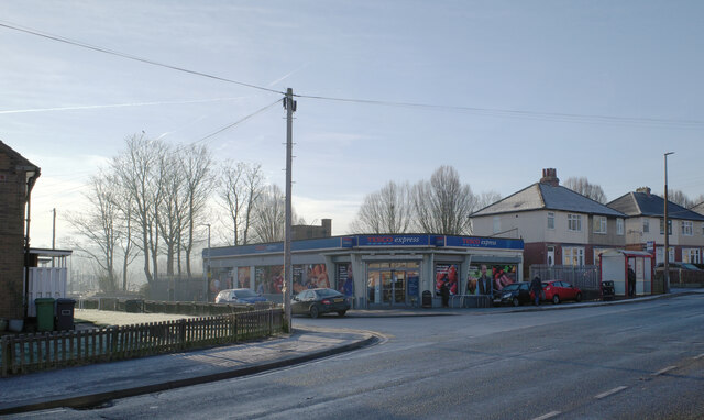
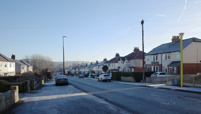
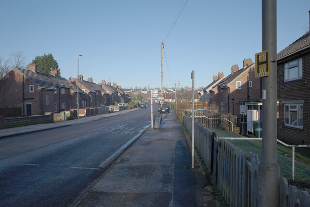
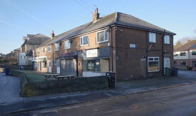
Nab Hill Images

Images are sourced within 2km of 53.659555/-1.741204 or Grid Reference SE1718. Thanks to Geograph Open Source API. All images are credited.

Bus shelter, Albany Road, Dalton, Huddersfield
Kirkwood Hospice, Albany Road, Dalton, Huddersfield
The junction of Albany Road and Edgeware Road, Dalton Green, Huddersfield
Dalton Green Lane, Dalton, Huddersfield
Arlington Way, Dalton, Huddersfield
Mill Hill Community Health Centre, Dalton, Huddersfield
Lady Lane, Dalton, Huddersfield
The junction of Dalton Green Lane and Long Lane, Dalton, Huddersfield
The junction of Long Lane and Cow Heys, Dalton, Huddersfield
Second Avenue, Dalton, Huddersfield
Long Lane, Dalton, Huddersfield
Tesco Express, Long Lane, Dalton, Huddersfield
Long Lane, Dalton, Huddersfield
Ridgeway, Dalton, Huddersfield
Shops, Long Lane, Dalton, Huddersfield
Post box, Long Lane, Dalton, Huddersfield This post box can be seen in context in <a href="https://www.geograph.org.uk/photo/7691123">SE1617 : Long Lane, Dalton, Huddersfield</a>.
Post box, Long Lane, Dalton, Huddersfield
This post box can be seen in context in SE1617 : Long Lane, Dalton, Huddersfield.
Long Lane, Dalton, Huddersfield A close-up of the post box can be seen in <a href="https://www.geograph.org.uk/photo/7691122">SE1617 : Post box, Long Lane, Dalton, Huddersfield</a>.
Long Lane, Dalton, Huddersfield
A close-up of the post box can be seen in SE1617 : Post box, Long Lane, Dalton, Huddersfield.
Long Lane, Grove Place, Huddersfield
Show me another place!

Nab Hill is located at Grid Ref: SE1718 (Lat: 53.659555, Lng: -1.741204)

Division: West Riding

Unitary Authority: Kirklees

Police Authority: West Yorkshire

What 3 Words

///drips.lend.brass. Near Huddersfield, West Yorkshire

Related Wikis

Dalton, Huddersfield

Dalton is a district of Huddersfield, West Yorkshire in England, approximately one mile east of the town centre between Moldgreen, Rawthorpe and Kirkheaton...

Kirkheaton

Kirkheaton (English: ) is a village in the parish of Kirkburton, in the Kirklees district of West Yorkshire, England, Historically, it is part of the West...

Kirkheaton railway station

Kirkheaton railway station served the village of Kirkheaton, West Yorkshire, England until closure in 1930. It was located immediately north of the junction...

Kirkwood Hospice

Kirkwood Hospice is a hospice situated in Dalton, Huddersfield, in West Yorkshire, England. It provides Specialist palliative care for the terminally ill...

Nearby Amenities

Located within 500m of 53.659555,-1.741204
Dalton Bank Nature Reserve
Leisure: nature_reserve
Source Name: survey
Lat/Long: 53.6634588/-1.7409743
Parking
Fee: no
Parking: surface
Lat/Long: 53.6629016/-1.7419034
Wellhouse
Place: locality
Source: OS Historic
Lat/Long: 53.6608607/-1.736337
Jagger Hill
Place: locality
Source: OS Historic
Lat/Long: 53.6574529/-1.7380107
Barrier: cycle_barrier
Lat/Long: 53.6607177/-1.7402043
Bench
Backrest: no
Material: wood
Seats: 4
Lat/Long: 53.6630674/-1.7407296
Dalton Bank Nature Reserve
Information: guidepost
Name Source: survey
Source: survey
Tourism: information
Lat/Long: 53.6596523/-1.7392894
Dalton Bank Nature Reserve
Information: guidepost
Name Source: survey
Source: survey
Tourism: information
Lat/Long: 53.6623694/-1.7388987
Bench
Backrest: no
Material: wood
Seats: 4
Lat/Long: 53.6632516/-1.7412368
Bench
Backrest: no
Material: wood
Seats: 4
Lat/Long: 53.6633046/-1.7412144
Plasticraft Displays Limited
Fax: +44 5601 159537
Phone: +44 1484 453358
Website: https://www.plasticraftdisplays.co.uk/
Lat/Long: 53.6558621/-1.7414868
The data included in this document is from www.openstreetmap.org. The data is made available under ODbL.

Have you been to Nab Hill?

Leave your review of Nab Hill below (or comments, questions and feedback).