Nab Hill

Hill, Mountain in Yorkshire

England

Nab Hill

Bus shelter, Albany Road, Dalton, Huddersfield
Bus shelter, Albany Road, Dalton, Huddersfield Credit: habiloid

Nab Hill is a prominent hill located in the county of Yorkshire, England. Standing at an elevation of approximately 1,516 feet (462 meters), it is classified as a hill rather than a mountain due to its relatively modest height. However, despite its classification, Nab Hill still offers breathtaking views of the surrounding countryside.

Situated in the heart of Yorkshire, Nab Hill is part of the Pennine Range, which runs through the northern part of England. It is known for its distinctive conical shape and is a popular destination for hikers and nature enthusiasts.

The hill is covered in a combination of grasses, heather, and other vegetation, creating a picturesque landscape. As visitors make their way to the summit, they can enjoy panoramic views of the rolling hills, valleys, and nearby villages.

In addition to its natural beauty, Nab Hill also holds historical significance. It is believed that the hill served as a beacon site during the medieval period, helping to guide travelers in the area. The remains of an ancient beacon platform can still be seen at the summit, serving as a reminder of its past.

Access to Nab Hill is relatively easy, with several footpaths leading to the top. Visitors can choose from a variety of routes, each offering a unique experience. Whether it's a leisurely walk or a more challenging hike, Nab Hill provides an opportunity to immerse oneself in the stunning Yorkshire countryside.

If you have any feedback on the listing, please let us know in the comments section below.
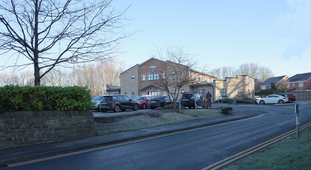
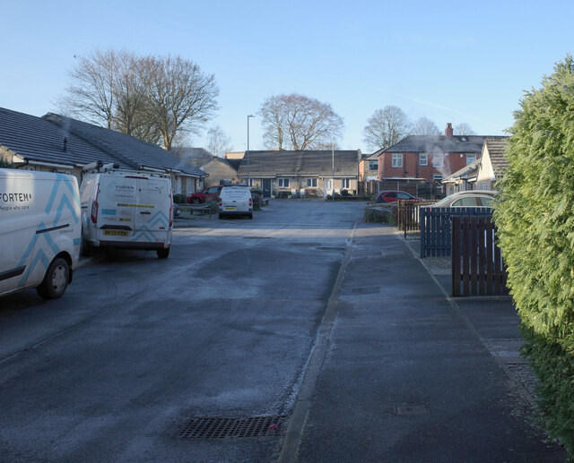
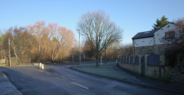
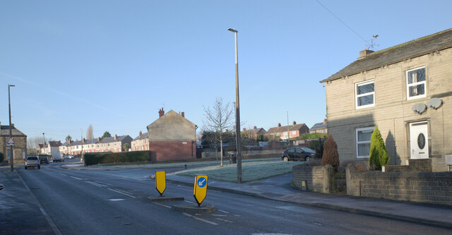
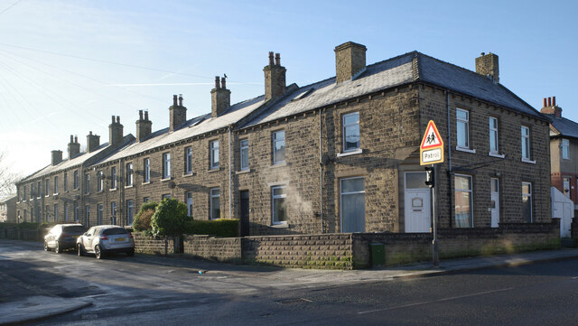
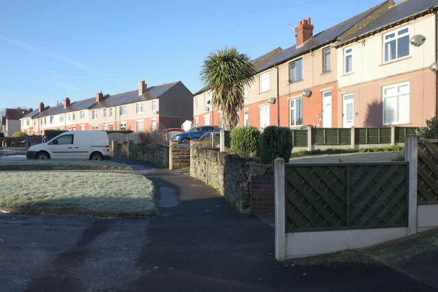
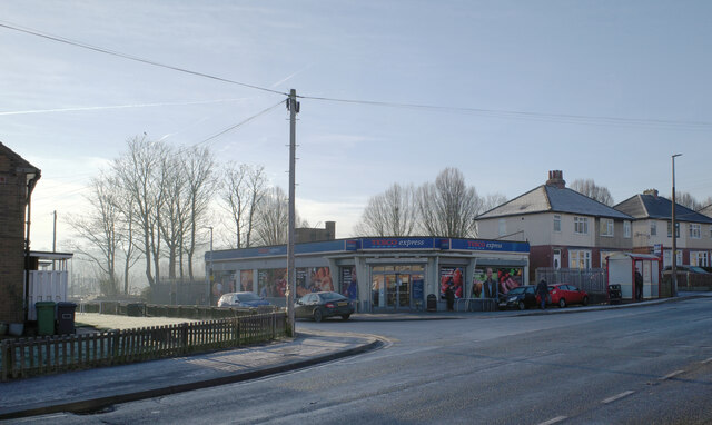
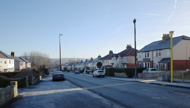
Nab Hill Images

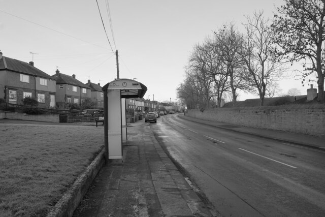
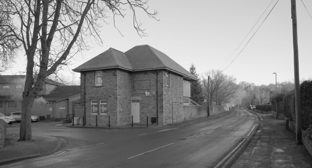
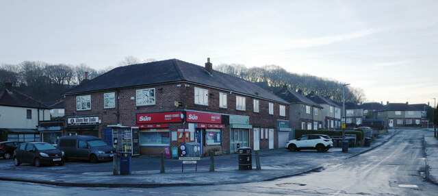
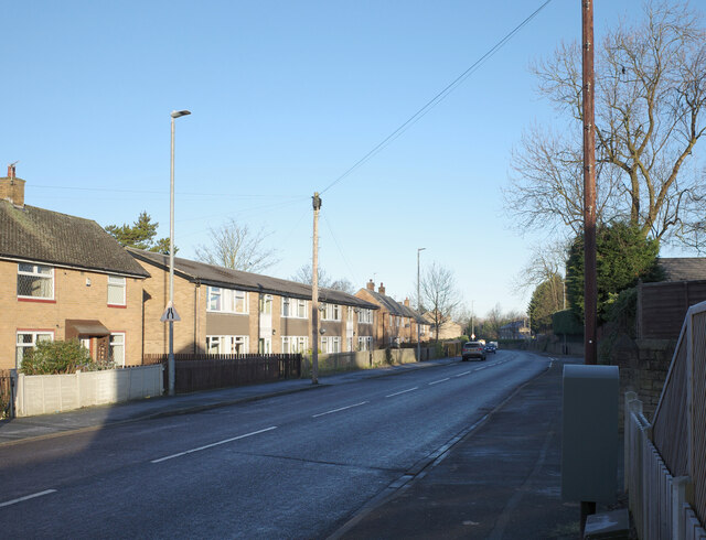
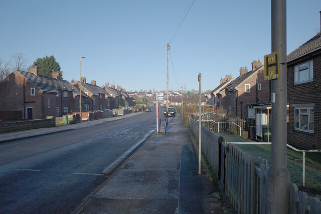
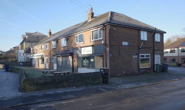
Images are sourced within 2km of 53.660698/-1.7394729 or Grid Reference SE1718. Thanks to Geograph Open Source API. All images are credited.

Bus shelter, Albany Road, Dalton, Huddersfield
Kirkwood Hospice, Albany Road, Dalton, Huddersfield
The junction of Albany Road and Edgeware Road, Dalton Green, Huddersfield
Dalton Green Lane, Dalton, Huddersfield
Arlington Way, Dalton, Huddersfield
Mill Hill Community Health Centre, Dalton, Huddersfield
Lady Lane, Dalton, Huddersfield
The junction of Dalton Green Lane and Long Lane, Dalton, Huddersfield
The junction of Long Lane and Cow Heys, Dalton, Huddersfield
Second Avenue, Dalton, Huddersfield
Long Lane, Dalton, Huddersfield
Tesco Express, Long Lane, Dalton, Huddersfield
Long Lane, Dalton, Huddersfield
Ridgeway, Dalton, Huddersfield
Shops, Long Lane, Dalton, Huddersfield
Post box, Long Lane, Dalton, Huddersfield This post box can be seen in context in <a href="https://www.geograph.org.uk/photo/7691123">SE1617 : Long Lane, Dalton, Huddersfield</a>.
Post box, Long Lane, Dalton, Huddersfield
This post box can be seen in context in SE1617 : Long Lane, Dalton, Huddersfield.
Long Lane, Dalton, Huddersfield A close-up of the post box can be seen in <a href="https://www.geograph.org.uk/photo/7691122">SE1617 : Post box, Long Lane, Dalton, Huddersfield</a>.
Long Lane, Dalton, Huddersfield
A close-up of the post box can be seen in SE1617 : Post box, Long Lane, Dalton, Huddersfield.
Long Lane, Grove Place, Huddersfield
Show me another place!

Nab Hill is located at Grid Ref: SE1718 (Lat: 53.660698, Lng: -1.7394729)

Division: West Riding

Unitary Authority: Kirklees

Police Authority: West Yorkshire

What 3 Words

///stir.gentle.retire. Near Huddersfield, West Yorkshire

Related Wikis

Kirkheaton

Kirkheaton (English: ) is a village in the parish of Kirkburton, in the Kirklees district of West Yorkshire, England, Historically, it is part of the West...

Kirkheaton railway station

Kirkheaton railway station served the village of Kirkheaton, West Yorkshire, England until closure in 1930. It was located immediately north of the junction...

Dalton, Huddersfield

Dalton is a district of Huddersfield, West Yorkshire in England, approximately one mile east of the town centre between Moldgreen, Rawthorpe and Kirkheaton...

Kirkwood Hospice

Kirkwood Hospice is a hospice situated in Dalton, Huddersfield, in West Yorkshire, England. It provides Specialist palliative care for the terminally ill...

Nearby Amenities

Located within 500m of 53.660698,-1.7394729
Dalton Bank Nature Reserve
Leisure: nature_reserve
Source Name: survey
Lat/Long: 53.6634588/-1.7409743
Parking
Fee: no
Parking: surface
Lat/Long: 53.6629016/-1.7419034
Wellhouse
Place: locality
Source: OS Historic
Lat/Long: 53.6608607/-1.736337
Jagger Hill
Place: locality
Source: OS Historic
Lat/Long: 53.6574529/-1.7380107
Barrier: cycle_barrier
Lat/Long: 53.6607177/-1.7402043
Bench
Backrest: no
Material: wood
Seats: 4
Lat/Long: 53.6630674/-1.7407296
Dalton Bank Nature Reserve
Information: guidepost
Name Source: survey
Source: survey
Tourism: information
Lat/Long: 53.6596523/-1.7392894
Dalton Bank Nature Reserve
Information: guidepost
Name Source: survey
Source: survey
Tourism: information
Lat/Long: 53.6623694/-1.7388987
Bench
Backrest: no
Material: wood
Seats: 4
Lat/Long: 53.6632516/-1.7412368
Bench
Backrest: no
Material: wood
Seats: 4
Lat/Long: 53.6633046/-1.7412144
The data included in this document is from www.openstreetmap.org. The data is made available under ODbL.

Have you been to Nab Hill?

Leave your review of Nab Hill below (or comments, questions and feedback).