Benington

Settlement in Lincolnshire Boston

England

Benington

Benington Sea End Looking north from the junction with Crowhall Lane
Benington Sea End Credit: Richard Croft

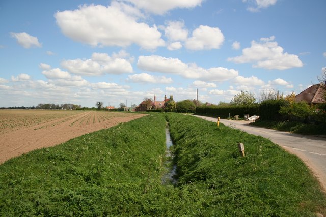
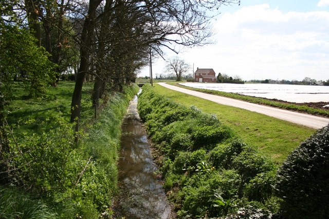
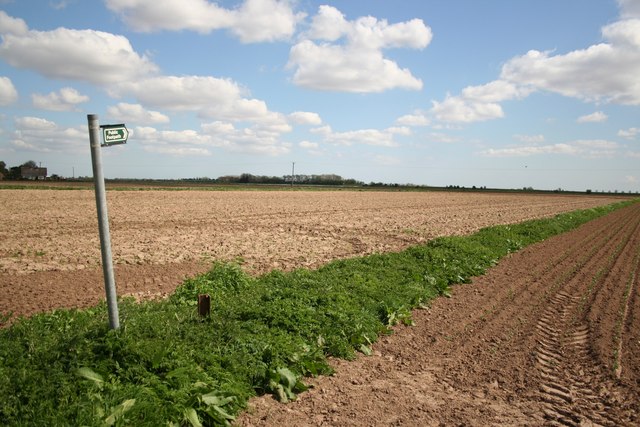
Benington is a small village located in the ceremonial county of Lincolnshire, in eastern England. Situated approximately 7 miles east of the town of Boston, it falls within the district of South Holland. The village is part of the civil parish of Benington and is bordered by the River Witham to the north.

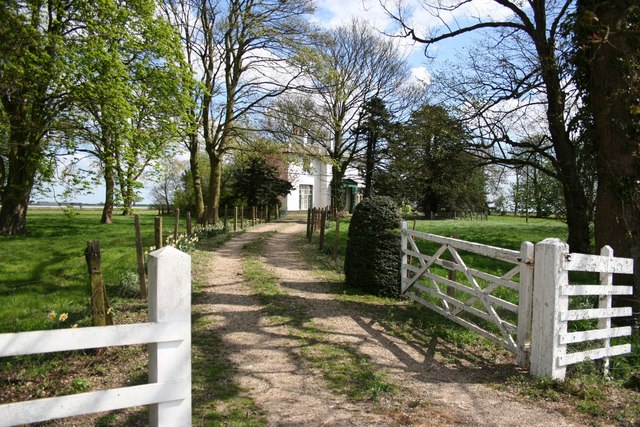
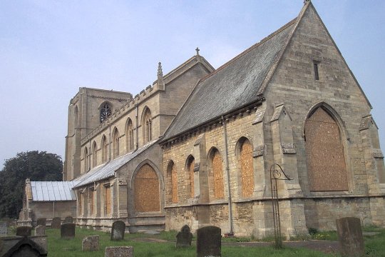
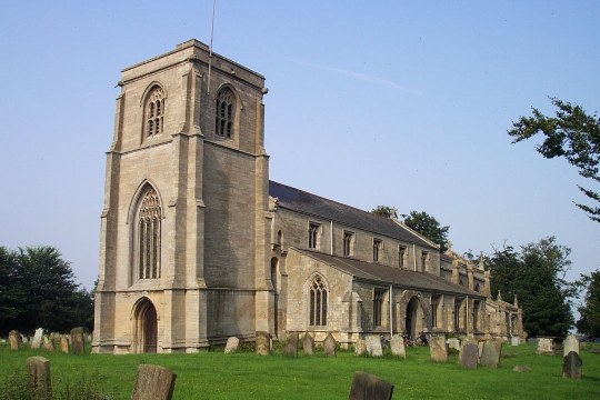
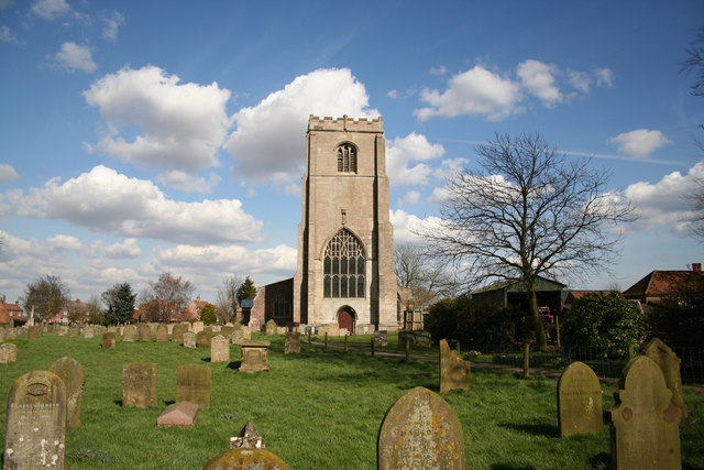
With a population of around 1,000 residents, Benington has a rich history that dates back to Roman times. The village is known for its traditional English charm, featuring picturesque cottages, a historic church, and a village green. The Grade I listed St. Peter and St. Paul Church, dating back to the 11th century, is a prominent landmark in the area.

A notable event in Benington is the annual Benington Lordship Gardens Snowdrop Walk, which attracts visitors from all over. These stunning gardens, covering approximately seven acres, are known for their magnificent display of snowdrops during the winter months.

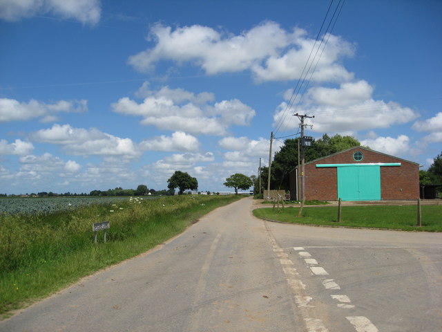
The village is well-served by amenities, including a primary school, a village hall, and a pub. It also benefits from good transport links, with nearby access to the A52 road, connecting it to Boston and other surrounding towns.

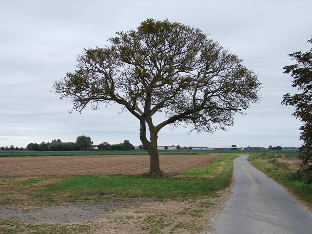
Benington offers a peaceful rural setting, providing residents and visitors with opportunities for outdoor activities such as walking, cycling, and fishing in the nearby River Witham. Its close-knit community and idyllic surroundings make it an attractive place to live or visit for those seeking a quintessential English village experience.

If you have any feedback on the listing, please let us know in the comments section below.
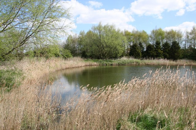
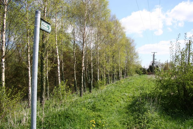
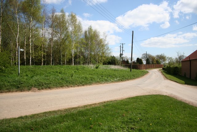
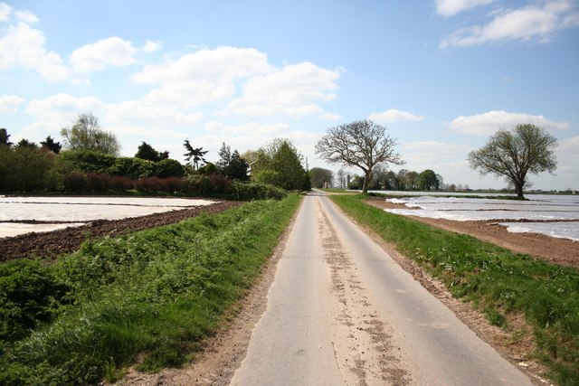
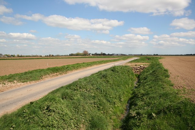
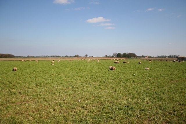
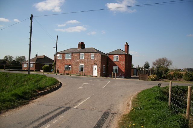
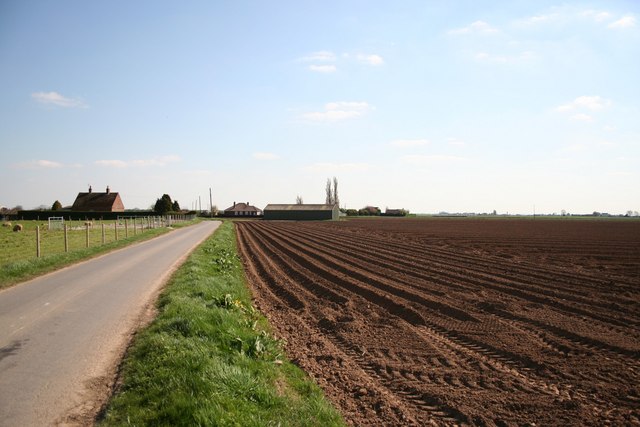
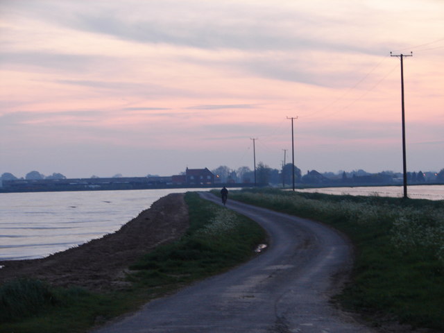
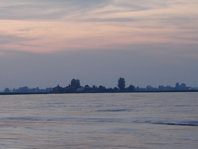
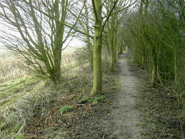
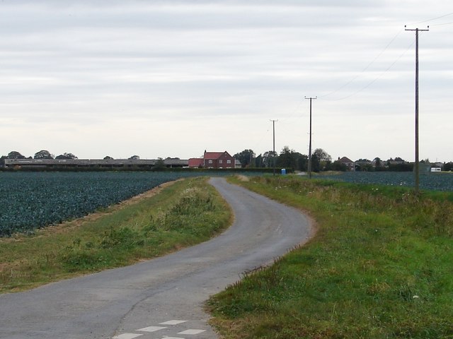
Benington Images

Images are sourced within 2km of 52.992494/0.077908 or Grid Reference TF3945. Thanks to Geograph Open Source API. All images are credited.

Benington Sea End Looking north from the junction with Crowhall Lane
Benington Sea End
Looking north from the junction with Crowhall Lane
Churchway Churchway and dyke by the Old Rectory at Benington Sea End
Churchway
Churchway and dyke by the Old Rectory at Benington Sea End
The Old Rectory At Benington Sea End
The Old Rectory
At Benington Sea End
Footpath at Benington Sea End
Glebe Farm pond Tranquil farm pond at Benington Sea End
Glebe Farm pond
Tranquil farm pond at Benington Sea End
Sea Bank footpath Footpath along the medieval Sea Bank flood defences from Grange Farm
Sea Bank footpath
Footpath along the medieval Sea Bank flood defences from Grange Farm
Sea Lane Sea Lane from Glebe Farm at Benington Sea End
Sea Lane
Sea Lane from Glebe Farm at Benington Sea End
Spicer's Lane Looking south near Glebe Farm on Spicer's Lane at Benington Sea End
Spicer's Lane
Looking south near Glebe Farm on Spicer's Lane at Benington Sea End
Spicer's Lane Looking north towards Leverton Lucasgate
Spicer's Lane
Looking north towards Leverton Lucasgate
Fenland sheep View from Ratten Row at Benington
Fenland sheep
View from Ratten Row at Benington
Cottages on David's Lane
Ratten Row Farmland towards Deaconvale by Ratten Row at Benington
Ratten Row
Farmland towards Deaconvale by Ratten Row at Benington
Westering Home The lone cyclist wends his way towards Butterwick along what appears to be a narrow isthmus.  The sea-like fields are covered with synthetic material.
Westering Home
The lone cyclist wends his way towards Butterwick along what appears to be a narrow isthmus. The sea-like fields are covered with synthetic material.
High Tide Seeming like rolling waves lapping towards the shore, in reality the 'sea' is formed of acres of synthetic material to help protect and force the crop.
High Tide
Seeming like rolling waves lapping towards the shore, in reality the 'sea' is formed of acres of synthetic material to help protect and force the crop.
Butterwick old Roman sea bank This old Roman seabank runs 300 metres Parallel to the sea defences built around the end of the 1800s and 1000 metres behind the reclaimed land of the 1960`s. It can be followed in many places from Skegness to Fosdyke and beyond.
Many parts are now tree lined, and give good cover for breeding game such as pheasants, where local farms hold regular shoots during the winter months on the reclaimed land to the east.
Butterwick old Roman sea bank
This old Roman seabank runs 300 metres Parallel to the sea defences built around the end of the 1800s and 1000 metres behind the reclaimed land of the 1960`s. It can be followed in many places from Skegness to Fosdyke and beyond. Many parts are now tree lined, and give good cover for breeding game such as pheasants, where local farms hold regular shoots during the winter months on the reclaimed land to the east.
Tide's out Compare the shot here with another on in May where it appeared that the fields were flooded <a href="https://www.geograph.org.uk/photo/797783">TF4044 : Westering Home</a>.  Cabbage grows in place of the 'sea'.
Tide's out
Compare the shot here with another on in May where it appeared that the fields were flooded TF4044 : Westering Home. Cabbage grows in place of the 'sea'.
Tree on Spicer's Lane Looking along Spicer's Lane in the direction of Leverton Lucasgate.
Tree on Spicer's Lane
Looking along Spicer's Lane in the direction of Leverton Lucasgate.
Benington Sea End - Spicers Lane
Show me another place!

Benington is located at Grid Ref: TF3945 (Lat: 52.992494, Lng: 0.077908)

Division: Parts of Holland

Administrative County: Lincolnshire

District: Boston

Police Authority: Lincolnshire

What 3 Words

///curtail.fired.agreement. Near Butterwick, Lincolnshire

Nearby Locations

Benington

Related Wikis

Benington, Lincolnshire

Benington is a village and civil parish in the Borough of Boston in Lincolnshire, England, and approximately 4 miles (6 km) east of Boston, and on the...

Benington Sea End

Benington Sea End is a hamlet in the Benington civil parish of the Borough of Boston in Lincolnshire, England. It is 5 miles (8 km) east-northeast from...

Butterwick, Lincolnshire

Butterwick is a village and civil parish in the Borough of Boston, Lincolnshire, England, It is situated approximately 3 miles (5 km) east from the market...

Skirbeck Wapentake

Skirbeck Wapentake was an administrative unit in the Parts of Holland Lincolnshire, England from the early eleventh century at the latest, until the wapentakes...

Leverton, Lincolnshire

Leverton is a village and civil parish in the Boston district of Lincolnshire, England, about 6 mi (10 km) east-north-east of Boston, on the A52 road....

Freiston Priory

Freiston Priory was a Benedictine cell of Crowland Abbey founded in 1114, and became a priory soon afterwards. It was Dissolved in 1539 and was located...

Freiston

Freiston is a village and civil parish in Lincolnshire, England. The population of the civil parish (including Freiston Shore) at the 2011 census was 1...

Freiston Shore

Freiston Shore is a settlement in the Borough of Boston, in Lincolnshire, England. It is in the civil parish of Freiston, and approximately 4 miles (6...

Nearby Amenities

Located within 500m of 52.992494,0.077908
Crowhall Lane
Naptan AtcoCode: 270000009280
Naptan Bearing: NE
Naptan BusStopType: CUS
Naptan CommonName: Crowhall Lane
Naptan Indicator: NE - bound
Naptan Landmark: Crowhall Lane
Naptan NaptanCode: linjamda
Naptan Street: Butterwick Road
Naptan Verified: no
Source: naptan_import
Lat/Long: 52.9925939/0.0777766
Crowhall Lane
Naptan AtcoCode: 270000009281
Naptan Bearing: SW
Naptan BusStopType: CUS
Naptan CommonName: Crowhall Lane
Naptan Indicator: SW - bound
Naptan Landmark: Crowhall Lane
Naptan NaptanCode: linjamdg
Naptan Street: Butterwick Road
Naptan Verified: no
Source: naptan_import
Lat/Long: 52.9926444/0.0779727
Bus Stop
Butterwick Road
Naptan AtcoCode: 2700LBMR1121
Naptan Bearing: NE
Naptan CommonName: Butterwick Road
Naptan Indicator: NE - bound
Naptan Landmark: Butterwick Road
Naptan NaptanCode: linajawp
Naptan Street: A52
Naptan Verified: no
Source: naptan_import
Lat/Long: 52.9949756/0.0788596
Bus Stop
Butterwick Road
Naptan AtcoCode: 2700LSQR4445
Naptan Bearing: SW
Naptan CommonName: Butterwick Road
Naptan Indicator: SW - bound
Naptan Landmark: Butterwick Road
Naptan NaptanCode: lindmagj
Naptan Street: A52
Naptan Verified: no
Source: naptan_import
Lat/Long: 52.994967/0.0793509
Bennington Farm
Place: farm
Source: Bing
Lat/Long: 52.9891904/0.0812604
Holly House
Place: isolated_dwelling
Source: Bing
Lat/Long: 52.9938612/0.0795942
Neals Cottage
Place: isolated_dwelling
Source: Bing
Lat/Long: 52.9917372/0.0770784
Rose Cottage
Place: isolated_dwelling
Source: Bing
Lat/Long: 52.9925259/0.071729
Tyler Lodge
Place: isolated_dwelling
Source: Bing
Lat/Long: 52.9906654/0.0796922
The data included in this document is from www.openstreetmap.org. The data is made available under ODbL.

Have you been to Benington?

Leave your review of Benington below (or comments, questions and feedback).