Beningbrough
Settlement in Yorkshire Hambleton
England
Beningbrough
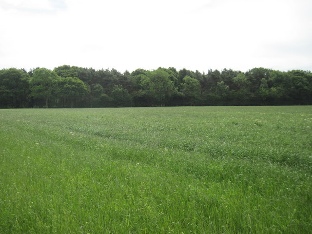
Beningbrough is a small village located in the county of North Yorkshire, England. Situated approximately 8 miles to the northwest of the city of York, Beningbrough is known for its picturesque countryside and historical significance.
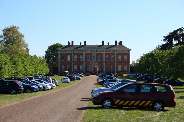
The village is home to Beningbrough Hall, a prominent National Trust property. This grand Georgian mansion was built in the 18th century and is surrounded by stunning gardens and parkland. Beningbrough Hall is renowned for its impressive architecture, elegant interiors, and extensive art collections, showcasing portraits of notable figures from British history.
Aside from its architectural beauty, Beningbrough Hall offers visitors a chance to explore the surrounding landscape. The estate features carefully designed gardens, including a walled garden, herbaceous borders, and a working kitchen garden. The parkland boasts ancient trees, tranquil lakes, and meandering paths, providing an idyllic setting for leisurely walks or picnics.
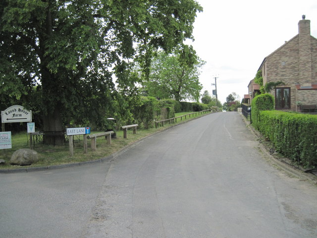
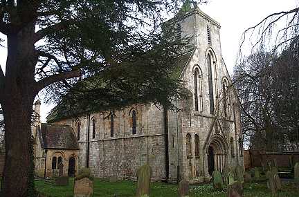
In addition to its historical attractions, Beningbrough also offers a range of amenities for residents and visitors alike. The village has a local church, a primary school, and a few small shops and services. Its peaceful and rural setting makes it an ideal destination for those seeking a break from the hustle and bustle of city life.
Overall, Beningbrough is a charming village with a rich history and natural beauty. Its combination of architectural splendor, well-preserved gardens, and tranquil surroundings make it a popular destination for tourists and a cherished place to call home.
If you have any feedback on the listing, please let us know in the comments section below.
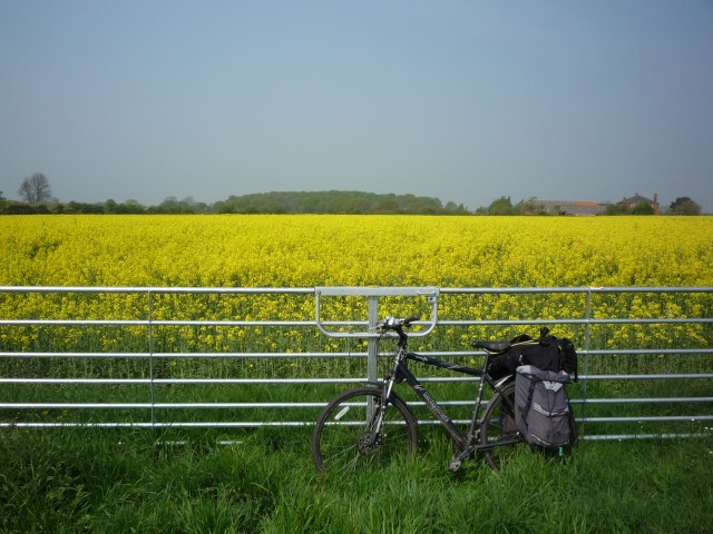
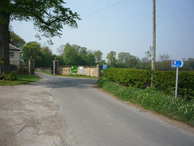
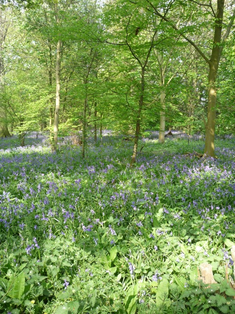
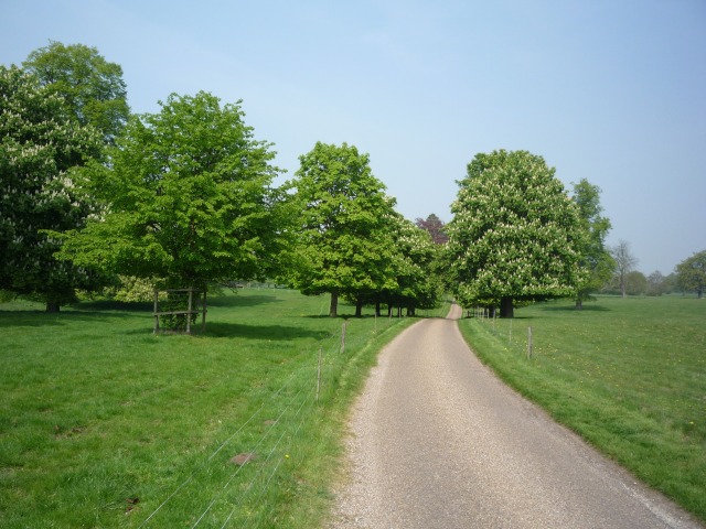
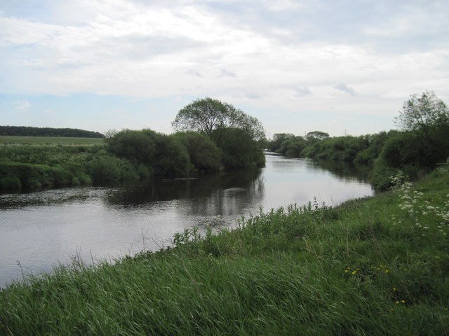
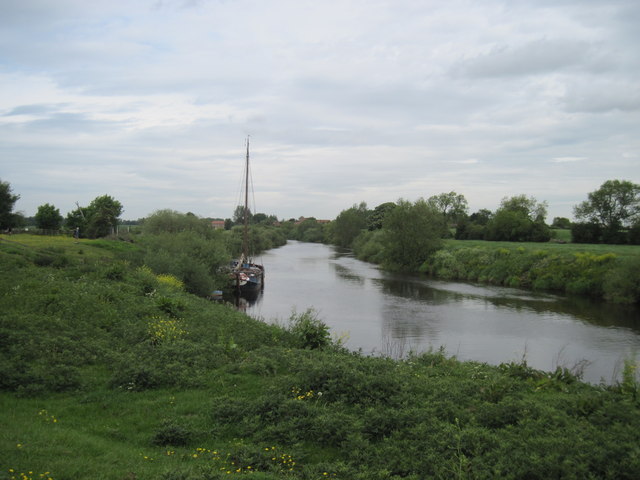
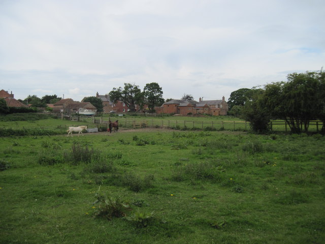
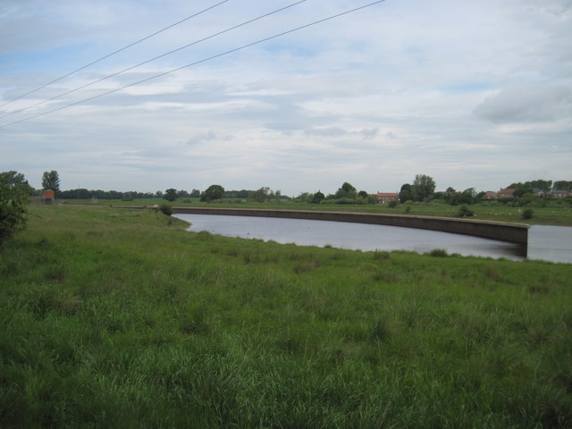
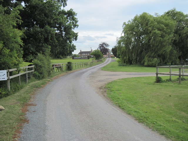
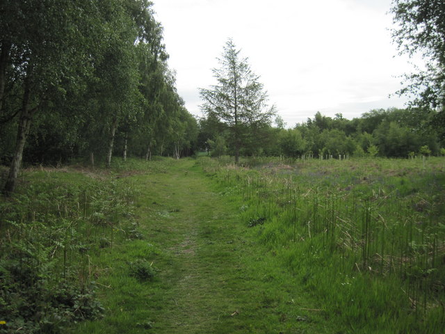
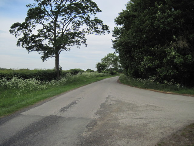
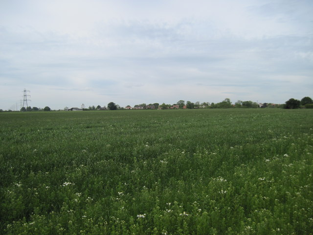
Beningbrough Images
Images are sourced within 2km of 54.012783/-1.194129 or Grid Reference SE5257. Thanks to Geograph Open Source API. All images are credited.
Beningbrough is located at Grid Ref: SE5257 (Lat: 54.012783, Lng: -1.194129)
Division: North Riding
Administrative County: North Yorkshire
District: Hambleton
Police Authority: North Yorkshire
What 3 Words
///organisms.passage.mashing. Near Nether Poppleton, North Yorkshire
Nearby Locations
Related Wikis

Beningbrough
Beningbrough is a village and civil parish in the Hambleton district of North Yorkshire, England. The population as taken at the 2011 Census was less than...

Red House, Moor Monkton
The Red House is a historic building in Moor Monkton, north-west of York in England. == History == The first Red House was constructed before 1342, when...

River Nidd
The River Nidd is a tributary of the River Ouse in the English county of North Yorkshire. In its first few miles it is dammed three times to create Angram...
St Mary's Church, Nun Monkton
St Mary's Church is the parish church of Nun Monkton, in North Yorkshire, in England. == History == Nun Monkton Priory was founded in 1172 by Ivetta of...

Nun Monkton
Nun Monkton is a village and civil parish in the Harrogate district of North Yorkshire, England. It is situated 8 miles (13 km) northwest of York at the...

Beningbrough railway station
Beningbrough railway station was on the East Coast Main Line that served the village of Beningbrough, North Yorkshire, England from 1841 to 1965. ��2...

Moor Monkton
Moor Monkton is a village and civil parish in the former Harrogate District of North Yorkshire, England. It is situated on the River Nidd and 7 miles...

All Saints' Church, Moor Monkton
All Saints' Church is the parish church of Moor Monkton, a village north-west of York in England. The church dates from the 12th century, when the nave...
Nearby Amenities
Located within 500m of 54.012783,-1.194129Have you been to Beningbrough?
Leave your review of Beningbrough below (or comments, questions and feedback).