Benholm

Settlement in Kincardineshire

Scotland

Benholm

Ordnance Survey Cut Mark with Rivet This mark and rivet can be found on a doorstep at Benholm Kirk.
The recorded details give a height of 47.497 metres above sea level.
For more detail see : <span class="nowrap"><a title="https://www.bench-marks.org.uk/bm126574" rel="nofollow ugc noopener" href="https://www.bench-marks.org.uk/bm126574">Link</a><img style="margin-left:2px;" alt="External link" title="External link - shift click to open in new window" src="https://s1.geograph.org.uk/img/external.png" width="10" height="10"/></span>
Ordnance Survey Cut Mark with Rivet Credit: Peter Wood

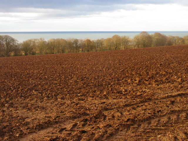
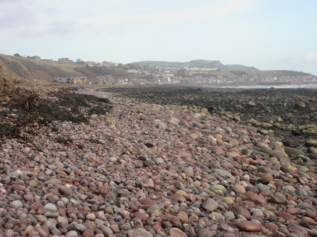
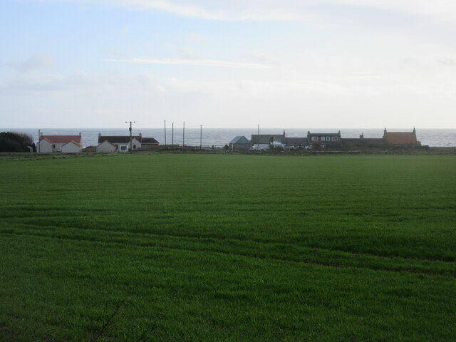
Benholm is a small village located in the historical county of Kincardineshire, Scotland. Situated on the east coast, it lies approximately 6 miles south of Stonehaven and 20 miles south of Aberdeen. The village is nestled amidst picturesque countryside, with rolling hills and stunning coastal views.

Benholm is known for its rich history, dating back to ancient times. The name itself is derived from the Gaelic language, meaning "hill of peace." The area has been inhabited since prehistoric times, with archaeological evidence suggesting early settlements in the surrounding area.

The village is home to several notable landmarks, including Benholm Castle, a 16th-century tower house that stands as a testament to the village's historical significance. The castle is currently privately owned, but its impressive architecture can still be admired from afar.

Benholm also boasts a beautiful parish church, which has served as a spiritual center for the community for centuries. The church, dating back to the 18th century, is a prominent feature in the village, with its distinctive steeple and traditional Scottish architecture.

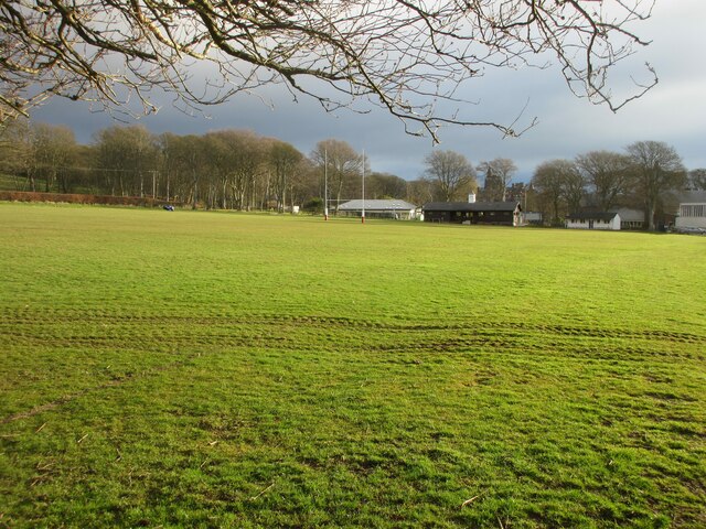
Despite its small size, Benholm offers a close-knit and welcoming community atmosphere. The village is home to a handful of amenities, including a local pub and a village hall that hosts various events and gatherings throughout the year.

With its tranquil surroundings, rich history, and friendly community, Benholm remains a hidden gem within the scenic landscape of Kincardineshire. It offers a peaceful retreat for residents and visitors alike, providing a glimpse into Scotland's past and a respite from the bustling cities nearby.

If you have any feedback on the listing, please let us know in the comments section below.

Benholm Images

Images are sourced within 2km of 56.814975/-2.322735 or Grid Reference NO8069. Thanks to Geograph Open Source API. All images are credited.

Ordnance Survey Cut Mark with Rivet This mark and rivet can be found on a doorstep at Benholm Kirk.
The recorded details give a height of 47.497 metres above sea level.
For more detail see : <span class="nowrap"><a title="https://www.bench-marks.org.uk/bm126574" rel="nofollow ugc noopener" href="https://www.bench-marks.org.uk/bm126574">Link</a><img style="margin-left:2px;" alt="External link" title="External link - shift click to open in new window" src="https://s1.geograph.org.uk/img/external.png" width="10" height="10"/></span>
Ordnance Survey Cut Mark with Rivet
This mark and rivet can be found on a doorstep at Benholm Kirk. The recorded details give a height of 47.497 metres above sea level. For more detail see : LinkExternal link
Ordnance Survey Flush Bracket 12088 This bracket can be found on the wall of a roadside (A92) building at Nether Knox.
The recorded details give a height of 42.133 metres above sea level.
For more detail see : <span class="nowrap"><a title="https://www.bench-marks.org.uk/bm205" rel="nofollow ugc noopener" href="https://www.bench-marks.org.uk/bm205">Link</a><img style="margin-left:2px;" alt="External link" title="External link - shift click to open in new window" src="https://s1.geograph.org.uk/img/external.png" width="10" height="10"/></span>
Ordnance Survey Flush Bracket 12088
This bracket can be found on the wall of a roadside (A92) building at Nether Knox. The recorded details give a height of 42.133 metres above sea level. For more detail see : LinkExternal link
Mill of Benholm The Mill of Benholm viewed from the path to the car park above.
Mill of Benholm
The Mill of Benholm viewed from the path to the car park above.
Benholm Free Little Library The Little Free Library at the entrance to the car parking area at the Mill of Benholm.
Benholm Free Little Library
The Little Free Library at the entrance to the car parking area at the Mill of Benholm.
Ploughed field above the sea Looking south down a ploughed field between the A92 and Lathallan School, with the North Sea beyond.
Ploughed field above the sea
Looking south down a ploughed field between the A92 and Lathallan School, with the North Sea beyond.
Rugby pitch at Lathallan School Rugby field on the Johnshaven side of Lathallan School.
Rugby pitch at Lathallan School
Rugby field on the Johnshaven side of Lathallan School.
Coast of pebbles south of Gourdon Looking up the coast towards Gourdon and Bervie Brow in the distance.
Coast of pebbles south of Gourdon
Looking up the coast towards Gourdon and Bervie Brow in the distance.
Haughs of Benholm Looking coastwards to the Haughs of Benholm.
Haughs of Benholm
Looking coastwards to the Haughs of Benholm.
Mill Of Benholm Geocaching is a type of global treasure hunt of people looking for caches, or hidden stashes of objects. Geocaching may also be described as a series of hide-and-seek games, where hiders provide online clues for seekers. Seekers use global positioning system (GPS) devices to find hidden caches
Mill Of Benholm
Geocaching is a type of global treasure hunt of people looking for caches, or hidden stashes of objects. Geocaching may also be described as a series of hide-and-seek games, where hiders provide online clues for seekers. Seekers use global positioning system (GPS) devices to find hidden caches
On the Coastal path
On the Coastal path
A92 and coastal path link road
Old trailer
Old trailer
Pipers Cottage
Pipers Cottage
East Walk Plantation
Bridge on the Coastal Path
View from the A92
View from the A92
North Lodge North Lodge viewed from the adjacent minor road to Benholm.
North Lodge
North Lodge viewed from the adjacent minor road to Benholm.
Cycle view of the A92
Show me another place!

Benholm is located at Grid Ref: NO8069 (Lat: 56.814975, Lng: -2.322735)

Unitary Authority: Aberdeenshire

Police Authority: North East

What 3 Words

///recapture.watch.flying. Near Inverbervie, Aberdeenshire

Nearby Locations

Benholm

Related Wikis

Benholm

Benholm is a small settlement in Aberdeenshire, Scotland, UK. It is now a conservation area and is home to Benholm Mill. The A92 passes the eastern edge...
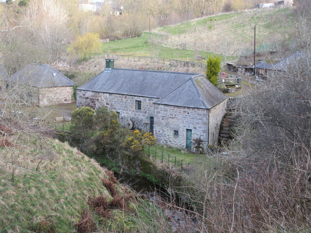
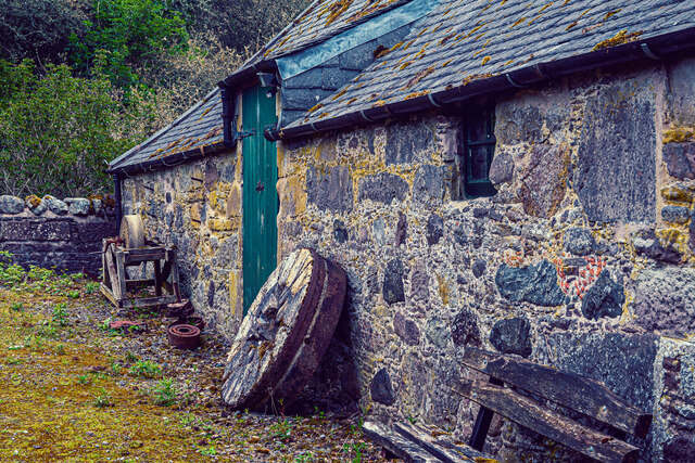
Benholm Mill

Benholm Mill in Kincardineshire, Scotland, is a restored and fully working water-powered meal mill. It is sited in ancient woodland near Johnshaven (13...

Birnie Road Halt railway station

Birnie Road Halt railway station served the settlement of Benholm, Aberdeenshire, Scotland from 1865 to 1966 on the Montrose and Bervie Railway. ��2�...
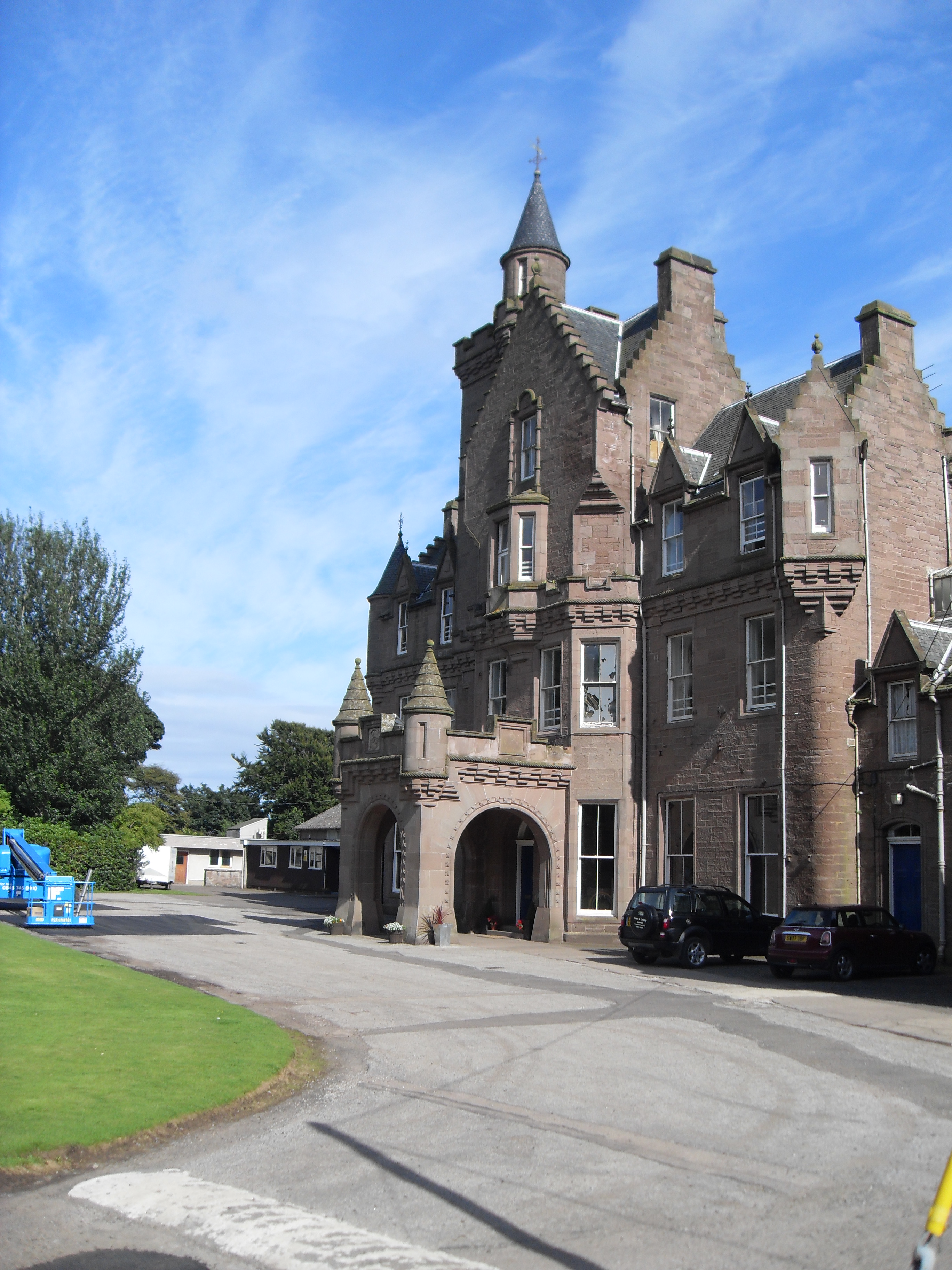
Lathallan School

Lathallan School is a co-educational all-through independent school at Brotherton Castle in Scotland, UK. It also offers outdoor learning programs on its...

Nearby Amenities

Located within 500m of 56.814975,-2.322735
Mill of Benholm
Tourism: museum
Wikidata: Q4887870
Wikipedia: en:Benholm Mill
Lat/Long: 56.8128013/-2.318257
Benholm
Place: hamlet
Lat/Long: 56.8147881/-2.3224283
Power: pole
Lat/Long: 56.8178077/-2.3175345
Power: pole
Lat/Long: 56.8173824/-2.3187611
Power: pole
Lat/Long: 56.8170049/-2.3198159
Power: pole
Lat/Long: 56.8168933/-2.3212826
Power: pole
Lat/Long: 56.8167699/-2.3225333
Power: pole
Lat/Long: 56.8166524/-2.3235639
Power: pole
Lat/Long: 56.8161464/-2.3239477
Power: pole
Lat/Long: 56.8156249/-2.3243235
Power: pole
Lat/Long: 56.8149881/-2.3247824
Power: pole
Lat/Long: 56.8143703/-2.3252306
Power: pole
Lat/Long: 56.8138716/-2.3255782
Power: pole
Lat/Long: 56.8133861/-2.3259324
Power: pole
Lat/Long: 56.8126545/-2.3265873
Power: pole
Lat/Long: 56.8119684/-2.3272207
Power: pole
Lat/Long: 56.8108516/-2.3200043
Power: pole
Lat/Long: 56.8107848/-2.3210157
Power: pole
Lat/Long: 56.8109087/-2.3218009
Power: pole
Lat/Long: 56.8109123/-2.3226992
Power: pole
Lat/Long: 56.8109208/-2.3236108
Power: pole
Lat/Long: 56.8109159/-2.3242629
Power: pole
Lat/Long: 56.8109257/-2.3250081
Power: pole
Lat/Long: 56.8109329/-2.3257534
Power: pole
Lat/Long: 56.8139306/-2.3151528
Power: pole
Lat/Long: 56.8143887/-2.3162793
Power: pole
Lat/Long: 56.8148415/-2.3173748
Power: pole
Lat/Long: 56.815284/-2.318454
Power: pole
Lat/Long: 56.8156893/-2.319428
Power: pole
Lat/Long: 56.8159636/-2.3201052
Power: pole
Lat/Long: 56.8145225/-2.3198079
Power: pole
Lat/Long: 56.8151906/-2.3201261
Power: pole
Lat/Long: 56.8154318/-2.32025
Power: pole
Lat/Long: 56.8165648/-2.3199398
Post Box
Collection Plate: SCP7
Collection Times: Mo-Fr 12:00; Sa 11:15
Operator: Royal Mail
Post Box Mounting: pier
Post Box Type: lamp
Ref: DD10 93
Royal Cypher: scottish_crown
Lat/Long: 56.8121592/-2.3165694
Public Bookcase
Little Free Library
Lat/Long: 56.8120909/-2.3166083
The data included in this document is from www.openstreetmap.org. The data is made available under ODbL.

Have you been to Benholm?

Leave your review of Benholm below (or comments, questions and feedback).