Mungal

Settlement in Stirlingshire

Scotland

Mungal

Unrecorded old worn Bench Mark between Carronvale Road and Dorrator Bridge (old Swing Bridge) An old worn Ordnance Survey Cut Mark (Bench Mark) on a concrete post situated in the East hedge line on the footpath between the end of Carronvale Road and Dorrator Bridge (locally known as swing bridge). No records found on old OS maps of this Bench Mark.
Unrecorded old worn Bench Mark between Carronvale Road and Dorrator Bridge (old Swing Bridge) Credit: julie sweet

Mungal is a small village located in the Stirlingshire region of Scotland. Situated approximately 3 miles northeast of the town of Falkirk, Mungal is a picturesque and tranquil rural settlement.

The village is surrounded by stunning countryside, with rolling hills and lush green fields adding to its natural beauty. Mungal is known for its idyllic setting, offering residents and visitors alike the opportunity to enjoy a peaceful and serene environment.

Despite its small size, Mungal has a close-knit community that takes pride in its heritage and traditions. The village has a rich history, dating back several centuries, and this is reflected in its architecture and landmarks. The local church, dating from the 18th century, stands as a testament to the village's historical significance.

Mungal is also known for its agricultural activities, with farming playing a significant role in the local economy. The fertile lands surrounding the village provide an ideal environment for cultivating crops and rearing livestock.

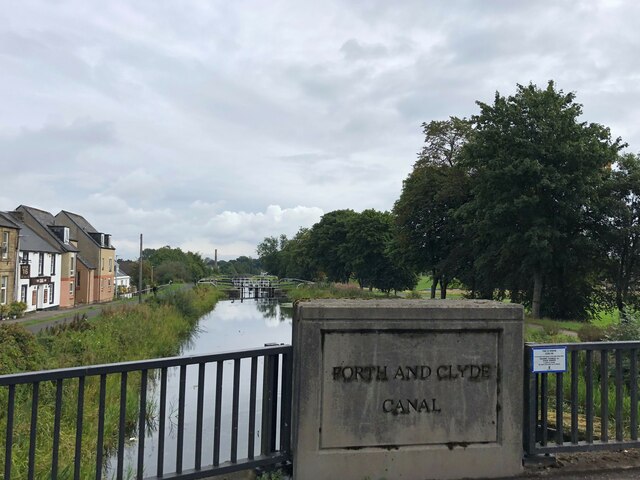
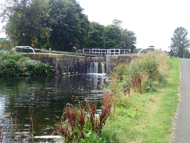
For those seeking outdoor activities, Mungal offers ample opportunities for walking, hiking, and exploring the surrounding countryside. The nearby Falkirk Wheel, a rotating boat lift connecting the Forth and Clyde Canal with the Union Canal, attracts tourists from around the country.

Overall, Mungal is a charming village with a strong sense of community and a beautiful natural setting. It provides a peaceful retreat for residents and visitors seeking a break from the hustle and bustle of city life.

If you have any feedback on the listing, please let us know in the comments section below.
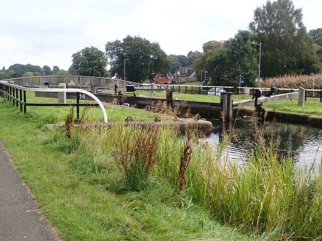
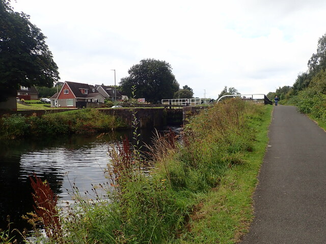
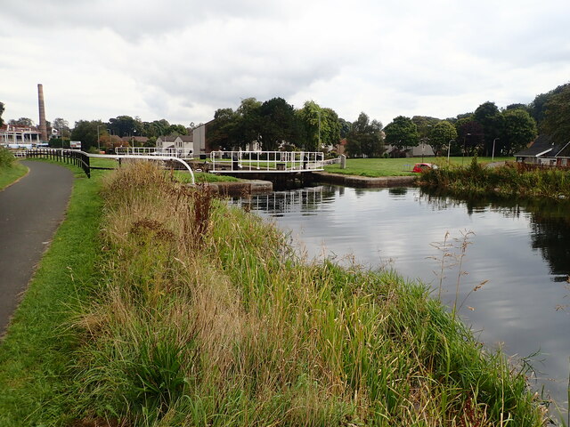
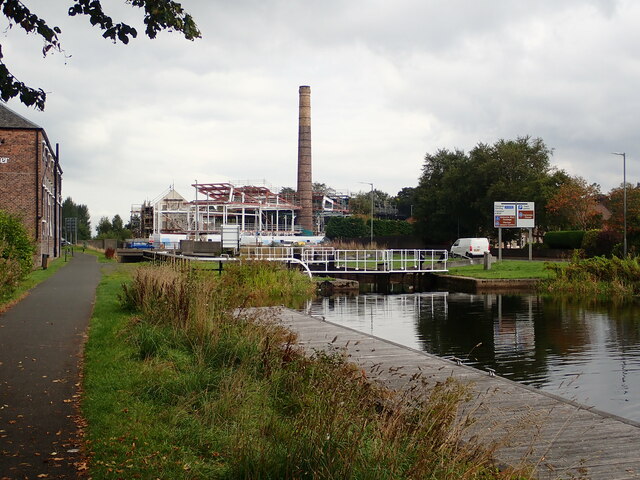
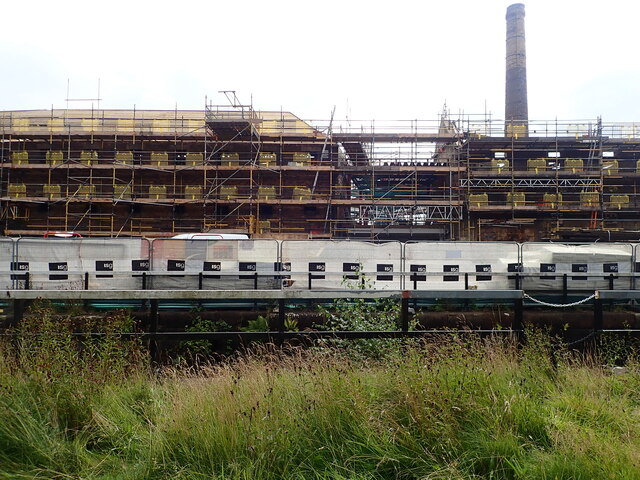
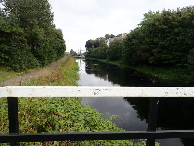
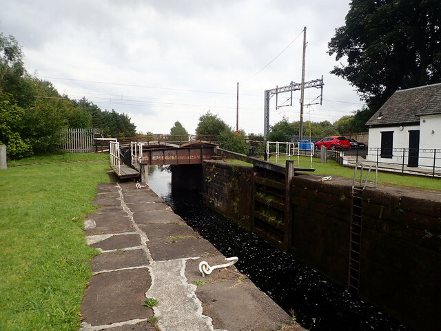
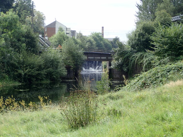
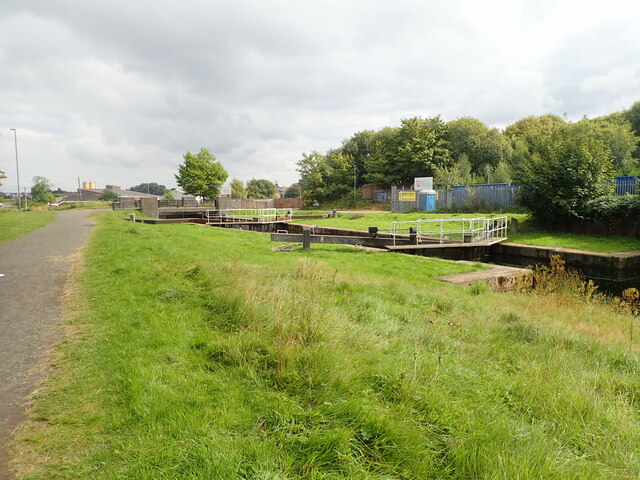
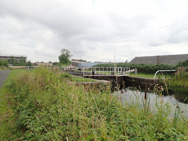
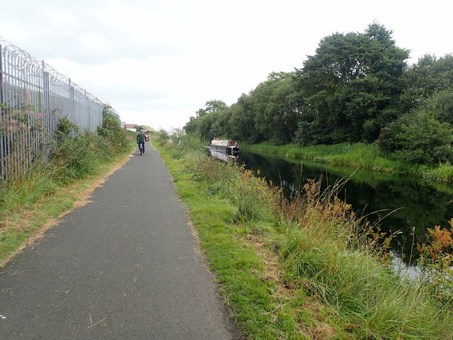
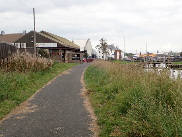
Mungal Images

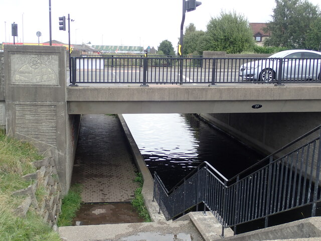
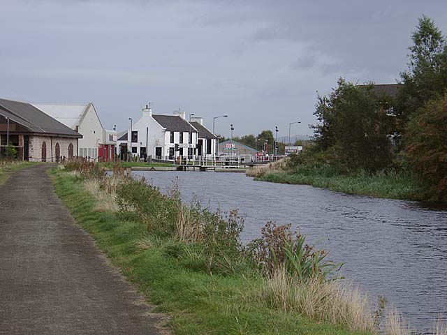
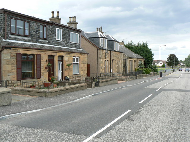
Images are sourced within 2km of 56.013903/-3.796101 or Grid Reference NS8881. Thanks to Geograph Open Source API. All images are credited.

Unrecorded old worn Bench Mark between Carronvale Road and Dorrator Bridge (old Swing Bridge) An old worn Ordnance Survey Cut Mark (Bench Mark) on a concrete post situated in the East hedge line on the footpath between the end of Carronvale Road and Dorrator Bridge (locally known as swing bridge). No records found on old OS maps of this Bench Mark.
Unrecorded old worn Bench Mark between Carronvale Road and Dorrator Bridge (old Swing Bridge)
An old worn Ordnance Survey Cut Mark (Bench Mark) on a concrete post situated in the East hedge line on the footpath between the end of Carronvale Road and Dorrator Bridge (locally known as swing bridge). No records found on old OS maps of this Bench Mark.
Forth and Clyde Canal at Lock 16 The Forth and Clyde Canal links Bowling on the Firth of Clyde with Grangemouth on the Firth of Forth. It allowed goods to be transported between the east and west coasts, and to be exported from Glasgow to Europe or from Edinburgh to America, without taking the hazardous route round the north of Scotland or the longer route via the English Channel. 

It is 56 kilometres (35 miles) long and has 39 locks, and the highest point is 47 metres (155 feet) above sea level. Originally there were 33 drawbridges, ten large aqueducts and 33 smaller ones.

It was designed by the engineer John Smeaton and opened in 1790, after over 20 years of planning and construction. 

With time seagoing vessels became too large to pass through the locks, and competition from the railways in the 19th century led to it being more or less disused, and it was closed in 1963.

However it was reopened as a Millennium project in 2001, and linked to the Union Canal by the Falkirk Wheel.
Forth and Clyde Canal at Lock 16
The Forth and Clyde Canal links Bowling on the Firth of Clyde with Grangemouth on the Firth of Forth. It allowed goods to be transported between the east and west coasts, and to be exported from Glasgow to Europe or from Edinburgh to America, without taking the hazardous route round the north of Scotland or the longer route via the English Channel. It is 56 kilometres (35 miles) long and has 39 locks, and the highest point is 47 metres (155 feet) above sea level. Originally there were 33 drawbridges, ten large aqueducts and 33 smaller ones. It was designed by the engineer John Smeaton and opened in 1790, after over 20 years of planning and construction. With time seagoing vessels became too large to pass through the locks, and competition from the railways in the 19th century led to it being more or less disused, and it was closed in 1963. However it was reopened as a Millennium project in 2001, and linked to the Union Canal by the Falkirk Wheel.
Canal Inn Beside the towpath along the Forth and Clyde Canal
Canal Inn
Beside the towpath along the Forth and Clyde Canal
Lock 15 on the Forth and Clyde Canal The Forth and Clyde Canal links Bowling on the Firth of Clyde with Grangemouth on the Firth of Forth. It allowed goods to be transported between the east and west coasts, and to be exported from Glasgow to Europe or from Edinburgh to America, without taking the hazardous route round the north of Scotland or the longer route via the English Channel. 

It is 56 kilometres (35 miles) long and has 39 locks, and the highest point is 47 metres (155 feet) above sea level. Originally there were 33 drawbridges, ten large aqueducts and 33 smaller ones.

It was designed by the engineer John Smeaton and opened in 1790, after over 20 years of planning and construction. 

With time seagoing vessels became too large to pass through the locks, and competition from the railways in the 19th century led to it being more or less disused, and it was closed in 1963.

However it was reopened as a Millennium project in 2001, and linked to the Union Canal by the Falkirk Wheel.
Lock 15 on the Forth and Clyde Canal
The Forth and Clyde Canal links Bowling on the Firth of Clyde with Grangemouth on the Firth of Forth. It allowed goods to be transported between the east and west coasts, and to be exported from Glasgow to Europe or from Edinburgh to America, without taking the hazardous route round the north of Scotland or the longer route via the English Channel. It is 56 kilometres (35 miles) long and has 39 locks, and the highest point is 47 metres (155 feet) above sea level. Originally there were 33 drawbridges, ten large aqueducts and 33 smaller ones. It was designed by the engineer John Smeaton and opened in 1790, after over 20 years of planning and construction. With time seagoing vessels became too large to pass through the locks, and competition from the railways in the 19th century led to it being more or less disused, and it was closed in 1963. However it was reopened as a Millennium project in 2001, and linked to the Union Canal by the Falkirk Wheel.
Local Heroes Cut-out sculptures of three renowned local men - Dr Harold Lyon on the left, who established a centre for palliative care for Central Scotland; Reginald Adams (centre) a swimming trainer over 50 years who coached Scottish champions, and Robert Barr (right) who produced the famous Scottish soft drink "Iron Brew" in 1875
Local Heroes
Cut-out sculptures of three renowned local men - Dr Harold Lyon on the left, who established a centre for palliative care for Central Scotland; Reginald Adams (centre) a swimming trainer over 50 years who coached Scottish champions, and Robert Barr (right) who produced the famous Scottish soft drink "Iron Brew" in 1875
Lock 14 on the Forth and Clyde Canal
Camelon Lock No.13 on the Clyde and Forth Canal The towpath is a popular walk between the Helix and the Falkirk Wheel
Camelon Lock No.13 on the Clyde and Forth Canal
The towpath is a popular walk between the Helix and the Falkirk Wheel
Camelon Lock No.12 On the Forth and Clyde Canal. On the left is the high chimney of the former Rosebank Distillery.
Camelon Lock No.12
On the Forth and Clyde Canal. On the left is the high chimney of the former Rosebank Distillery.
Rosebank Lock No. 11 On the Forth and Clyde Canal. Dominating the lock is the chimney of Rosebank Distillery. This closed in 1968 and it had been lying empty and deteriorating for many years. In 2018 new owners Ian Macleod Distillers said they intended to bring the site back into use as a distillery. Partial demolition and redevelopment has begun to form new Distillery incorporating Visitor Experience, Cafe, retail, associated landscaping and car park.
Rosebank Lock No. 11
On the Forth and Clyde Canal. Dominating the lock is the chimney of Rosebank Distillery. This closed in 1968 and it had been lying empty and deteriorating for many years. In 2018 new owners Ian Macleod Distillers said they intended to bring the site back into use as a distillery. Partial demolition and redevelopment has begun to form new Distillery incorporating Visitor Experience, Cafe, retail, associated landscaping and car park.
Rosebank Distillery Partial demolition of the old distillery taking place. A new complex is beginning to take shape to form a new Distillery incorporating Visitor Experience, Cafe, retail, associated landscaping and car park.
Rosebank Distillery
Partial demolition of the old distillery taking place. A new complex is beginning to take shape to form a new Distillery incorporating Visitor Experience, Cafe, retail, associated landscaping and car park.
Looking down the Forth and Clyde Canal from Lock No.10
Camelon Railway Lock, No. 9 The railway bridge carries the Edinburgh to Dundee railway line.
Camelon Railway Lock, No. 9
The railway bridge carries the Edinburgh to Dundee railway line.
Camelon Railway Lock, No. 9 Taken from the towpath on the north side of the Clyde & Forth Canal
Camelon Railway Lock, No. 9
Taken from the towpath on the north side of the Clyde & Forth Canal
Merers Lock Lock No.8 on the Forth and Clyde Canal. Merchiston Road crosses the canal east of the lock
Merers Lock
Lock No.8 on the Forth and Clyde Canal. Merchiston Road crosses the canal east of the lock
Merchiston Lock This is lock No.7 on the Forth and Clyde Canal
Merchiston Lock
This is lock No.7 on the Forth and Clyde Canal
Towpath beside the Forth and Clyde Canal The barbed wire topped fence on the left surrounds an industrial area.
Towpath beside the Forth and Clyde Canal
The barbed wire topped fence on the left surrounds an industrial area.
Forth and Clyde Canal towpath Near canal lock no.5, Bainsford Lock. The B905 crosses the canal on the east side of the lock.
Forth and Clyde Canal towpath
Near canal lock no.5, Bainsford Lock. The B905 crosses the canal on the east side of the lock.
Towpath underpassing Grahams Road bridge
Show me another place!

Mungal is located at Grid Ref: NS8881 (Lat: 56.013903, Lng: -3.796101)

Unitary Authority: Falkirk

Police Authority: Forth Valley

What 3 Words

///branched.clothed.verse. Near Carron, Falkirk

Nearby Locations

Bainsford Mungal

Related Wikis

Merchiston Park

Merchiston Park () was a football ground in Bainsford, near Falkirk, which was the home of East Stirlingshire F.C. between c. 1882 and 1920. It was near...

Bainsford

Bainsford is a small village within the Falkirk council area of Scotland. The village is situated in the Forth Valley, 1 mile (1.6 km) north of the town...

St Mungo's High School

St Mungo's High School is a mixed, Roman Catholic, secondary school in Falkirk, Scotland. As the only Catholic secondary school in Falkirk, St Mungo's...

Carron, Falkirk

Carron (Scottish Gaelic: Carrann) is a village in the Falkirk council area of Scotland. It is in the Forth Valley, about 2 miles (3.2 km) north of Falkirk...

Nearby Amenities

Located within 500m of 56.013903,-3.796101
Bainsford
Place: suburb
Population: 3202
Source: npe
Wikidata: Q4848570
Wikipedia: en:Bainsford
Lat/Long: 56.0142017/-3.7895968
Traffic Signals
Lat/Long: 56.013791/-3.7894566
Traffic Calming: table
Lat/Long: 56.0124721/-3.8025823
Noexit: yes
Lat/Long: 56.0127121/-3.8008445
Noexit: yes
Lat/Long: 56.0128463/-3.8008406
Power: pole
Lat/Long: 56.0149309/-3.802404
Power: pole
Lat/Long: 56.0150786/-3.8033739
Entrance: main
Lat/Long: 56.0097274/-3.7957446
Entrance: main
Lat/Long: 56.0098068/-3.7957925
Bus Stop
Naptan AtcoCode: 66901710034
Naptan NaptanCode: 32526234
Shelter: no
Source: survey
Lat/Long: 56.0096249/-3.7961653
Waste Basket
Source: survey
Lat/Long: 56.0118508/-3.7981508
Waste Basket
Source: survey
Lat/Long: 56.014239/-3.8034393
Entrance: main
Lat/Long: 56.0150772/-3.7960014
Waste Basket
Source: survey
Lat/Long: 56.0169243/-3.8000892
Crossing
Crossing: uncontrolled
Crossing Ref: zebra
Lat/Long: 56.0152829/-3.7934847
Crossing
Crossing: uncontrolled
Crossing Ref: zebra
Lat/Long: 56.0155476/-3.7929665
Post Box
Collection Times: Mo-Fr 16:30; Sa 11:30
Operator: Royal Mail
Post Box Mounting: pole
Post Box Type: lamp
Ref: FK2 34
Royal Cypher: scottish_crown
Lat/Long: 56.0178766/-3.7944916
Crossing
Crossing Ref: zebra
Supervised: no
Lat/Long: 56.0165831/-3.7929821
Crossing
Crossing Ref: zebra
Supervised: no
Lat/Long: 56.0167425/-3.7928889
Crossing
Crossing Ref: zebra
Supervised: no
Lat/Long: 56.0168323/-3.7930337
Bench
Backrest: yes
Material: wood
Seats: 4
Lat/Long: 56.0158891/-3.8032474
Bench
Backrest: yes
Material: wood
Seats: 4
Lat/Long: 56.0160161/-3.8030166
Bench
Backrest: yes
Material: wood
Seats: 4
Lat/Long: 56.0160381/-3.8012996
Waste Basket
Source: survey
Lat/Long: 56.016882/-3.7999514
Bicycle: yes
Hiking: yes
Information: guidepost
Source: survey
Tourism: information
Lat/Long: 56.0168915/-3.7999507
Entrance: main
Lat/Long: 56.0169556/-3.7922799
Entrance: main
Lat/Long: 56.0168474/-3.7925702
Fast Food
Greggs
Brand: Greggs
Brand Wikidata: Q3403981
Brand Wikipedia: en:Greggs
Cuisine: sandwich;bakery
Takeaway: yes
Lat/Long: 56.0168865/-3.7926073
Lidl
Addr Country: GB
Addr Housename: The Carron Centre
Addr Postcode: FK2 7TA
Addr Street: Ronades Road
Brand: Lidl
Brand Wikidata: Q151954
Brand Wikipedia: en:Lidl
Fhrs Id: 549262
Shop: supermarket
Website: https://www.lidl.co.uk/s/en-GB/store-finder/falkirk/carron/the-carron-centre-ronades-road/
Lat/Long: 56.0170147/-3.7922439
Barrier: bollard
Bicycle: yes
Foot: yes
Horse: yes
Motor Vehicle: no
Lat/Long: 56.0154801/-3.7985451
Barrier: bollard
Bicycle: yes
Foot: yes
Horse: yes
Motor Vehicle: no
Lat/Long: 56.0154976/-3.7985143
Barrier: yes
Foot: yes
Lat/Long: 56.0130329/-3.7953555
Post Box
Collection Times: Mo-Fr 09:00; Sa 07:00
Operator: Royal Mail
Post Box Design: type_b
Post Box Type: pillar
Ref: FK2 37D
Royal Cypher: GVIR
Royal Cypher Wikidata: Q33102169
Lat/Long: 56.0168078/-3.7915519
Post Box
Collection Times: Mo-Fr 09:00; Sa 07:00
Operator: Royal Mail
Post Box Type: pillar
Ref: FK2 10D
Royal Cypher: GR
Royal Cypher Wikidata: Q33102273
Lat/Long: 56.0140753/-3.7895168
Clinic
AD Injury Clinic
Phone: +44 1324 626462
Lat/Long: 56.0140581/-3.7894028
Woodside Garden Store
Shop: garden_centre
Lat/Long: 56.0141192/-3.7894725
For Eyes
Shop: optician
Lat/Long: 56.0141649/-3.7895007
Addr Housenumber: 106
Addr Street: Mungalhead Road
Lat/Long: 56.0112398/-3.7939569
Addr Housenumber: 104
Addr Street: Mungalhead Road
Lat/Long: 56.011302/-3.7939607
Post Box
Collection Times: Mo-Fr 09:00; Sa 07:00
Operator: Royal Mail
Post Box Type: pillar
Ref: FK2 27D
Royal Cypher: GR
Royal Cypher Wikidata: Q33102273
Lat/Long: 56.011246/-3.7941811
Post Box
Collection Times: Mo-Fr 09:00; Sa 07:00
Operator: Royal Mail
Post Box Mounting: pole
Post Box Type: lamp
Ref: FK2 35D
Royal Cypher: scottish_crown
Lat/Long: 56.0156309/-3.7985203
Generator Method: photovoltaic
Generator Output Electricity: yes
Generator Source: solar
Generator Type: solar_photovoltaic_panel
Power: generator
Lat/Long: 56.0181156/-3.7960507
Generator Method: photovoltaic
Generator Output Electricity: yes
Generator Source: solar
Generator Type: solar_photovoltaic_panel
Power: generator
Lat/Long: 56.0137822/-3.7908254
Generator Method: photovoltaic
Generator Output Electricity: yes
Generator Source: solar
Generator Type: solar_photovoltaic_panel
Power: generator
Lat/Long: 56.01375/-3.7907919
Fast Food
Meat In The Middle
Addr City: Falkirk
Addr Housenumber: 117
Addr Postcode: FK2 7NT
Addr Street: Main Street
Addr Suburb: Bainsford
Opening Hours: Mo-Su 10:00-22:00
Phone: +44 1324 631151
Website: http://www.meatinthemiddle.uk/
Lat/Long: 56.0136422/-3.7890601
Rumpers
Shop: hairdresser
Lat/Long: 56.0136745/-3.7890936
Crossing
Crossing: traffic_signals
Crossing Island: no
Tactile Paving: yes
Lat/Long: 56.0136394/-3.7892596
Crossing
Crossing: traffic_signals
Crossing Island: no
Tactile Paving: yes
Lat/Long: 56.0139019/-3.7892295
Crossing
Crossing: traffic_signals
Crossing Island: no
Tactile Paving: yes
Lat/Long: 56.013939/-3.789563
Crossing
Crossing: traffic_signals
Crossing Island: no
Tactile Paving: yes
Lat/Long: 56.0137101/-3.7895863
Bainsford Laundry
Shop: laundry
Lat/Long: 56.0135658/-3.7894262
Brand: Premier
Brand Wikidata: Q7240340
Brand Wikipedia: en:Premier Stores
Shop: convenience
Lat/Long: 56.0135043/-3.7893055
Atm
Lat/Long: 56.0135485/-3.789343
Man Made: monitoring_station
Monitoring Air Quality: yes
Lat/Long: 56.0135741/-3.7890104
Bus Stop
Bus: yes
Public Transport: platform
Lat/Long: 56.0132788/-3.788645
William Hill
Brand: William Hill
Brand Wikidata: Q4053147
Brand Wikipedia: en:William Hill (bookmaker)
Shop: bookmaker
Lat/Long: 56.0132748/-3.7885583
Pub
Carronade Arms
Lat/Long: 56.0131828/-3.7885318
Shop: hairdresser
Lat/Long: 56.0129765/-3.7882713
Location: indoor
Power: substation
Substation: minor_distribution
Lat/Long: 56.0123399/-3.8036097
The data included in this document is from www.openstreetmap.org. The data is made available under ODbL.

Have you been to Mungal?

Leave your review of Mungal below (or comments, questions and feedback).