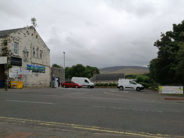
Muirkirk

Settlement in Ayrshire

Scotland

Muirkirk

A70 passing through Muirkirk The picture looks along Muirkirk Main Street which is also the A70. Temporary road signs warn that the road further east is currently closed: <span class="nowrap"><a title="https://www.southlanarkshire.gov.uk/view/news/article/1046/Plan_ahead_for_A70_roadworks_closure" rel="nofollow ugc noopener" href="https://www.southlanarkshire.gov.uk/view/news/article/1046/Plan_ahead_for_A70_roadworks_closure">Link</a><img style="margin-left:2px;" alt="External link" title="External link - shift click to open in new window" src="https://s1.geograph.org.uk/img/external.png" width="10" height="10"/></span> Fortunately my journey went west.
A70 passing through Muirkirk Credit: Alec MacKinnon

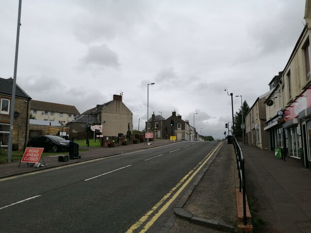
Muirkirk is a small town located in East Ayrshire, Scotland. Situated in the Southern Uplands, it lies approximately 15 miles east of Kilmarnock and 35 miles southeast of Glasgow. With a population of around 1,500 residents, Muirkirk is known for its scenic beauty and rich history.

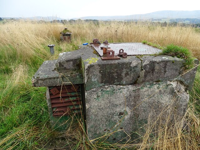
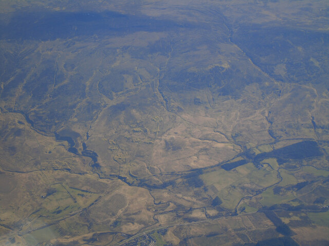
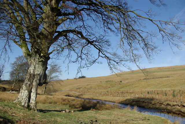
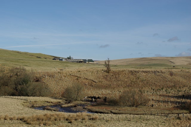
The town is surrounded by picturesque landscapes, including rolling hills and vast moorland. The nearby Muirkirk Moor is a designated Site of Special Scientific Interest, renowned for its unique flora and fauna. This natural beauty attracts outdoor enthusiasts, who can explore the area through various walking and cycling trails.

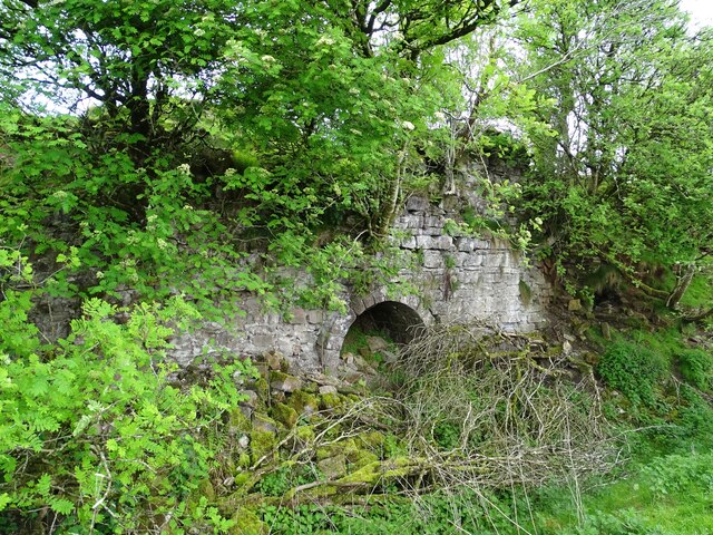
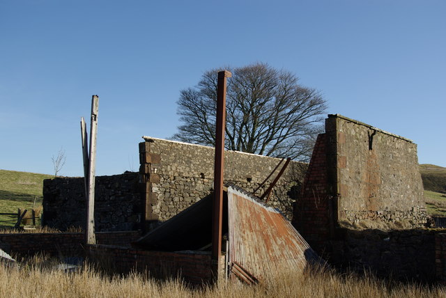
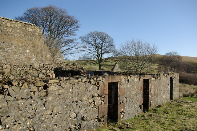
Muirkirk has a rich industrial heritage, particularly in iron and coal mining. In the 18th and 19th centuries, the town experienced a boom in iron production, becoming a major supplier to the growing industrial centers. The remnants of this past can still be seen in the form of preserved mine buildings and structures.

Today, Muirkirk offers a range of amenities to its residents and visitors. The town has a primary school, a post office, a community center, and a few local shops and eateries. It also hosts an annual Highland Games event, attracting participants and spectators from across Scotland.

Overall, Muirkirk is a charming town that seamlessly blends its natural surroundings with its historical significance. It provides a tranquil retreat for those seeking a peaceful escape, while also serving as a testament to Scotland's industrial past.

If you have any feedback on the listing, please let us know in the comments section below.
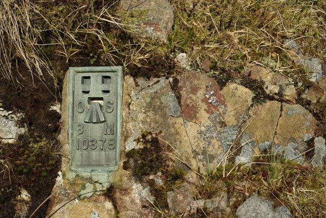
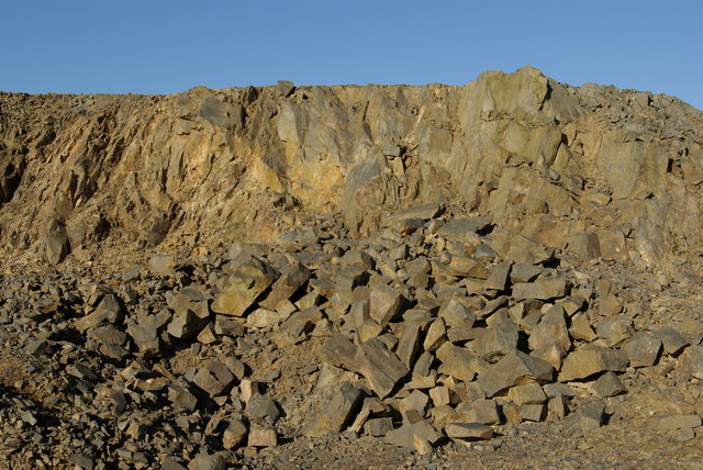
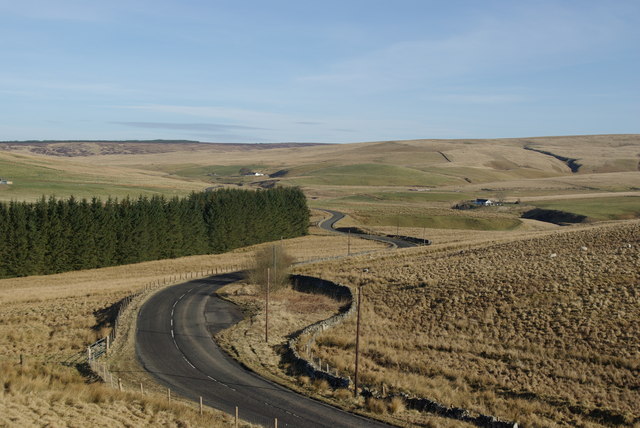
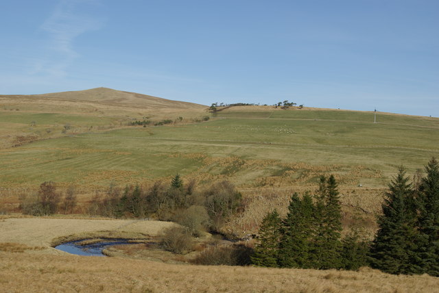
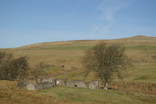
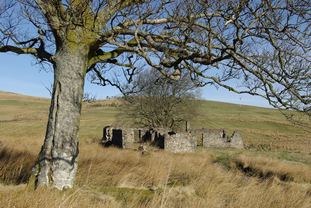
Muirkirk Images

Images are sourced within 2km of 55.523392/-4.064205 or Grid Reference NS6927. Thanks to Geograph Open Source API. All images are credited.

A70 passing through Muirkirk The picture looks along Muirkirk Main Street which is also the A70. Temporary road signs warn that the road further east is currently closed: <span class="nowrap"><a title="https://www.southlanarkshire.gov.uk/view/news/article/1046/Plan_ahead_for_A70_roadworks_closure" rel="nofollow ugc noopener" href="https://www.southlanarkshire.gov.uk/view/news/article/1046/Plan_ahead_for_A70_roadworks_closure">Link</a><img style="margin-left:2px;" alt="External link" title="External link - shift click to open in new window" src="https://s1.geograph.org.uk/img/external.png" width="10" height="10"/></span> Fortunately my journey went west.
A70 passing through Muirkirk
The picture looks along Muirkirk Main Street which is also the A70. Temporary road signs warn that the road further east is currently closed: LinkExternal link Fortunately my journey went west.
Main Street car park, Muirkirk The car park sits at the west end of the row of businesses on Main Street. Cairn Table is on the horizon behind.
Main Street car park, Muirkirk
The car park sits at the west end of the row of businesses on Main Street. Cairn Table is on the horizon behind.
R.O.C. Bunker An old R.O.C. bunker.
R.O.C. Bunker
An old R.O.C. bunker.
The Long Stone of Convention The Long Stone of Convention, with Middlefield Law in the distance.
The Long Stone of Convention
The Long Stone of Convention, with Middlefield Law in the distance.
The River Ayr at Muirkirk from the air Muirkirk just makes an appearance at the bottom of the photo. The route of the GSWR Muirkirk Branch railway line can be seen running diagonally up from the lower left corner.
The River Ayr at Muirkirk from the air
Muirkirk just makes an appearance at the bottom of the photo. The route of the GSWR Muirkirk Branch railway line can be seen running diagonally up from the lower left corner.
Kames Institute Benchmark on the Kames Institute building.
Kames Institute
Benchmark on the Kames Institute building.
Lightshaw Standing Stone The Lightshaw standing stone, with Cairn Table in the distance.
Lightshaw Standing Stone
The Lightshaw standing stone, with Cairn Table in the distance.
Limekilns near Muirkirk The remains of the middle kiln, in a line of five old kilns.
This photo was taken on the 1st June 2022.
Limekilns near Muirkirk
The remains of the middle kiln, in a line of five old kilns. This photo was taken on the 1st June 2022.
Greenside
Greenside
Greenside
Greenside
Ordnance Survey flush bracket Fixed to a rock outcrop at the start of the Greenside track
Ordnance Survey flush bracket
Fixed to a rock outcrop at the start of the Greenside track
Quarry by the B743
Quarry by the B743
B743 south of Greenock Bridge
Greenock Water & Middlefield Law
Mansfield & Middlefield Law
Mansfield
Mansfield
Greenock Water at Mansfield
Greenock Water & Linburn
Show me another place!

Muirkirk is located at Grid Ref: NS6927 (Lat: 55.523392, Lng: -4.064205)

Unitary Authority: East Ayrshire

Police Authority: Ayrshire

What 3 Words

///extensive.headsets.blurred. Near Muirkirk, East Ayrshire

Related Wikis

Muirkirk

Muirkirk (Scottish Gaelic: Eaglais an t-Slèibh) is a small village in East Ayrshire, southwest Scotland. It is located on the north bank of the River Ayr...

Muirkirk railway station

Muirkirk railway station was a railway station serving the village of Muirkirk, East Ayrshire, Scotland. == First station == The station opened on 9 August...

Garpel Water

The Garpel Water is a river near Muirkirk, Scotland. It flows under the Sanquhar bridge and Tibbie's Brig. It flows into the River Ayr.

Glenbuck railway station

Glenbuck railway station served the village of Glenbuck in Ayrshire, Scotland. == Opening == The Caledonian Railway extended a line from Douglas to Muirkirk...

Nearby Amenities

Located within 500m of 55.523392,-4.064205
Traffic Signals
Source: survey
Lat/Long: 55.5218184/-4.0666436
Parking
Lat/Long: 55.5264478/-4.0656135
Tourism: attraction
Lat/Long: 55.5265582/-4.0655793
Muirkirk
Is In: East Ayrshire
Name Sco: Mairkirk
Place: village
Source: OS7/local_knowledge
Wikidata: Q1008937
Lat/Long: 55.5222075/-4.0672721
Turning Circle
Lat/Long: 55.523227/-4.069118
Power: pole
Lat/Long: 55.5262183/-4.0593946
Power: pole
Lat/Long: 55.5268036/-4.059104
Power: pole
Lat/Long: 55.5249291/-4.0568103
Noexit: yes
Lat/Long: 55.5231634/-4.0684712
Post Box
Post Box Mounting: brick_pillar
Post Box Type: wall
Royal Cypher: VR
Lat/Long: 55.524781/-4.0608729
The data included in this document is from www.openstreetmap.org. The data is made available under ODbL.

Have you been to Muirkirk?

Leave your review of Muirkirk below (or comments, questions and feedback).