Muirhouses

Settlement in West Lothian

Scotland

Muirhouses

Bo'ness Station Terminus of the Bo'ness and Kinneil Railway. 

According to the railway's website <span class="nowrap"><a title="https://www.bkrailway.co.uk/," rel="nofollow ugc noopener" href="https://www.bkrailway.co.uk/,">Link</a><img style="margin-left:2px;" alt="External link" title="External link - shift click to open in new window" src="https://s1.geograph.org.uk/img/external.png" width="10" height="10"/></span> 'Bo’ness station has been built since 1979 on a landscaped site which had previously been occupied by railway sidings, timber yards and coal mines. Buildings have been designed to reflect a traditional railway style, or moved from other locations. The station building was originally at Wormit, the train shed is from Haymarket, the signal box from Garnqueen South Junction and the footbridge from Murthly. The ‘new’ station opened in 1981.'

This is an image to replicate <a href="https://www.geograph.org.uk/photo/30645">NT0081 : Bo'ness Railway Station</a>, the first image submitted for this square in 2005.
Bo'ness Station Credit: Richard Sutcliffe

Muirhouses is a village located in West Lothian, Scotland. Situated approximately 10 miles west of Edinburgh, Muirhouses falls within the civil parish of Mid Calder. The village is nestled amidst picturesque countryside, boasting a tranquil and scenic environment.

Despite its rural charm, Muirhouses benefits from its proximity to major transportation routes. The A71 road passes nearby, connecting the village to Edinburgh and other important towns in the region. This accessibility makes Muirhouses an attractive residential location for those seeking a peaceful retreat while remaining conveniently connected to urban centers.

The village itself is characterized by a mix of traditional and modern architecture. It features a range of housing options, from quaint cottages to more contemporary designs. Muirhouses also benefits from several local amenities, including a primary school, a community center, and a small selection of shops and services.

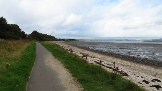
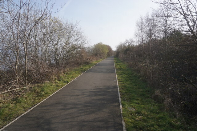
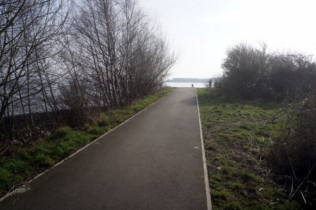
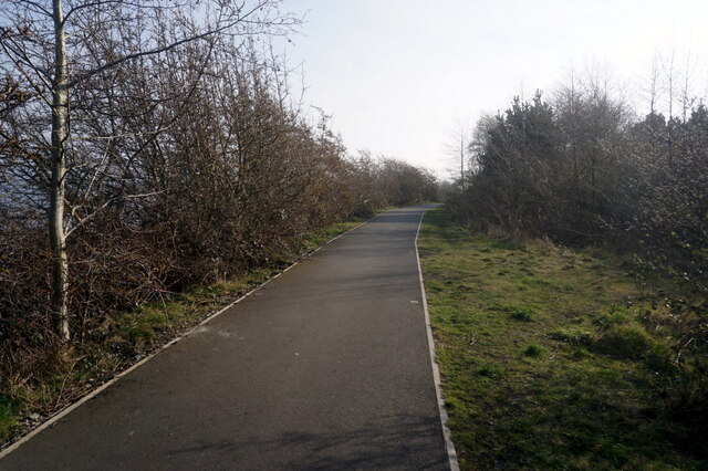
Nature enthusiasts can take advantage of the village's close proximity to nature reserves and green spaces. Almondell and Calderwood Country Park, located just a short distance away, offer beautiful walking trails, picnic areas, and opportunities for wildlife spotting.

Overall, Muirhouses offers a serene and idyllic setting for residents, with its combination of rural charm and convenient access to nearby urban centers.

If you have any feedback on the listing, please let us know in the comments section below.
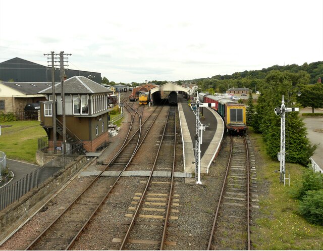
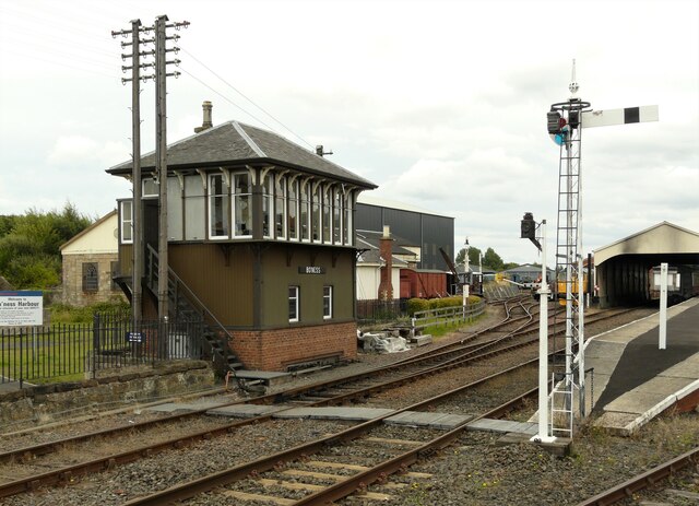
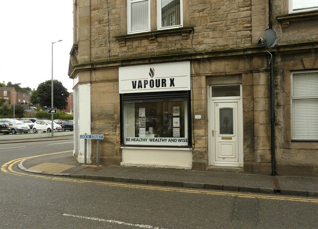
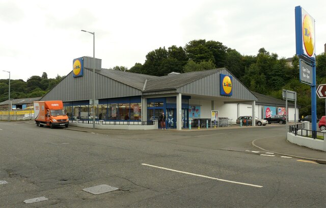
Muirhouses Images

Images are sourced within 2km of 56.007857/-3.576478 or Grid Reference NT0180. Thanks to Geograph Open Source API. All images are credited.

Bo'ness Station Terminus of the Bo'ness and Kinneil Railway. 

According to the railway's website <span class="nowrap"><a title="https://www.bkrailway.co.uk/," rel="nofollow ugc noopener" href="https://www.bkrailway.co.uk/,">Link</a><img style="margin-left:2px;" alt="External link" title="External link - shift click to open in new window" src="https://s1.geograph.org.uk/img/external.png" width="10" height="10"/></span> 'Bo’ness station has been built since 1979 on a landscaped site which had previously been occupied by railway sidings, timber yards and coal mines. Buildings have been designed to reflect a traditional railway style, or moved from other locations. The station building was originally at Wormit, the train shed is from Haymarket, the signal box from Garnqueen South Junction and the footbridge from Murthly. The ‘new’ station opened in 1981.'

This is an image to replicate <a href="https://www.geograph.org.uk/photo/30645">NT0081 : Bo'ness Railway Station</a>, the first image submitted for this square in 2005.
Bo'ness Station
Terminus of the Bo'ness and Kinneil Railway. According to the railway's website LinkExternal link 'Bo’ness station has been built since 1979 on a landscaped site which had previously been occupied by railway sidings, timber yards and coal mines. Buildings have been designed to reflect a traditional railway style, or moved from other locations. The station building was originally at Wormit, the train shed is from Haymarket, the signal box from Garnqueen South Junction and the footbridge from Murthly. The ‘new’ station opened in 1981.' This is an image to replicate NT0081 : Bo'ness Railway Station, the first image submitted for this square in 2005.
Signal box, Bo'ness Station The signal box was originally at Garnqueen South Junction where the Caledonian Railway joined the Monkland and Kirkintilloch Railway. The box was dismantled and rebuilt at Bo'ness.
Signal box, Bo'ness Station
The signal box was originally at Garnqueen South Junction where the Caledonian Railway joined the Monkland and Kirkintilloch Railway. The box was dismantled and rebuilt at Bo'ness.
Vapour X Vapourizer shop on the corner of Dock Street and Main Street, Bo'ness.
Vapour X
Vapourizer shop on the corner of Dock Street and Main Street, Bo'ness.
Lidl supermarket On Main Street, Bo'ness.
Lidl supermarket
On Main Street, Bo'ness.
John Muir Way east of Carriden, Bo'ness
John Muir Way towards Grangepans
Jon Muir Way towards Grangepans
John Muir Way towards Grangepans
Slipway at Grangepans
Memorial Anchor at Upper Forth Boat Club, Bo'ness
John Muir Way towards Bridgeness
John Muir Way near Bridgeness
John Muir Way towards Bridgeness
John Muir Way at Bridgeness
Show me another place!

Muirhouses is located at Grid Ref: NT0180 (Lat: 56.007857, Lng: -3.576478)

Unitary Authority: Falkirk

Police Authority: Forth Valley

What 3 Words

///grades.forgiving.broads. Near Bo’ness, Falkirk

Nearby Locations

Muirhouses

Related Wikis

Muirhouses, Falkirk

Muirhouses is a small village which lies in the Falkirk council area of Scotland. The village is located 1.1 miles (1.8 km) south-east of Bo'ness, 2.1...

Carriden House

Carriden House is a 14,041 square feet (1,304.5 m2) mansion in the parish of Bo'ness and Carriden, in the Falkirk council area, east central Scotland....

Bonhard Castle

Bonhard Castle was an L-plan tower house, dating from the 16th century, around 1.5 miles (2.4 km) south east of Bo'ness, in West Lothian, Scotland. It...

Grange House

Grange House (also known as Grangepans, Grange, Old Grange, and Grange Hamilton) was an estate house near Bo'ness, West Lothian (now Falkirk council area...

Nearby Amenities

Located within 500m of 56.007857,-3.576478
Post Box
Collection Times: Mo-Fr 16:00; Sa 12:00
Operator: Royal Mail
Post Box Type: pillar
Ref: EH51 20
Royal Cypher: scottish_crown
Lat/Long: 56.0093534/-3.5835272
Muirhouses
Place: village
Source: OS OpenData StreetView
Wikidata: Q6933250
Wikipedia: en:Muirhouses, Falkirk
Lat/Long: 56.0091919/-3.5751714
Little Carriden
Place: hamlet
Source: OS OpenData StreetView
Lat/Long: 56.00672/-3.5724994
Bus Stop
Bench: no
Naptan AtcoCode: 66902480013
Naptan NaptanCode: 32524795
Shelter: no
Lat/Long: 56.0104086/-3.5755241
Bus Stop
Bench: no
Shelter: no
Lat/Long: 56.0099182/-3.5756783
Bus Stop
Naptan AtcoCode: 66902490015
Naptan NaptanCode: 32524952
Lat/Long: 56.0079082/-3.5751351
Bus Stop
Naptan AtcoCode: 66902490016
Naptan NaptanCode: 32525243
Shelter: yes
Lat/Long: 56.0077154/-3.5752559
Bus Stop
Bench: yes
Check Date Shelter: 2024-04-07
Shelter: yes
Lat/Long: 56.0056033/-3.5758602
Bus Stop
Bus: yes
Public Transport: platform
Shelter: yes
Lat/Long: 56.0052139/-3.5745863
Bench
Lat/Long: 56.0049693/-3.5745212
Post Box
Collection Times: Mo-Fr 16:00; Sa 08:00
Operator: Royal Mail
Post Box Type: lamp
Ref: EH51 13
Royal Cypher: scottish_crown
Lat/Long: 56.007399/-3.5744508
Old Mine
Historic: mine
Lat/Long: 56.0039527/-3.5786263
Old Mine
Historic: mine
Lat/Long: 56.0049784/-3.57559
Power: pole
Lat/Long: 56.0103055/-3.5783711
Power: pole
Lat/Long: 56.0095192/-3.5782605
Power: pole
Lat/Long: 56.008741/-3.5781499
Power: pole
Lat/Long: 56.0079652/-3.5780122
Crossing
Crossing: unmarked
Crossing Island: no
Crossing Markings: no
Tactile Paving: no
Lat/Long: 56.0090208/-3.5835841
Crossing
Crossing: unmarked
Crossing Island: no
Crossing Markings: no
Tactile Paving: no
Lat/Long: 56.00902/-3.5836431
Noexit: yes
Lat/Long: 56.0063719/-3.5747823
Noexit: yes
Lat/Long: 56.0054066/-3.5748121
The data included in this document is from www.openstreetmap.org. The data is made available under ODbL.

Have you been to Muirhouses?

Leave your review of Muirhouses below (or comments, questions and feedback).