Muirshearlich
Settlement in Inverness-shire
Scotland
Muirshearlich

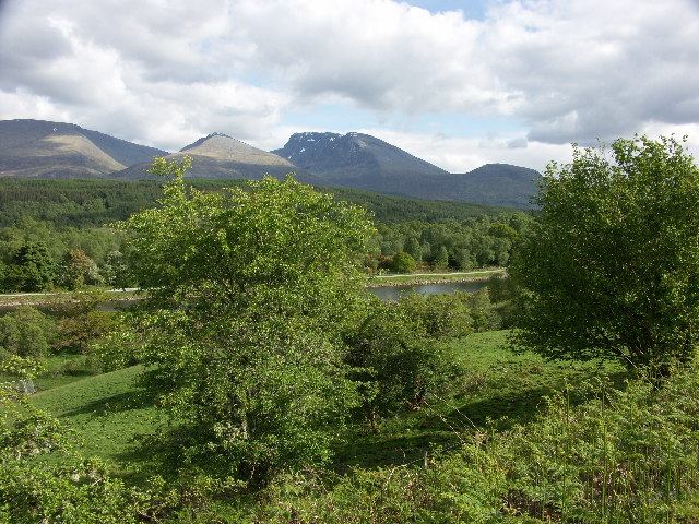
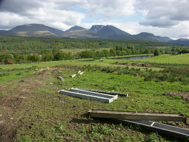
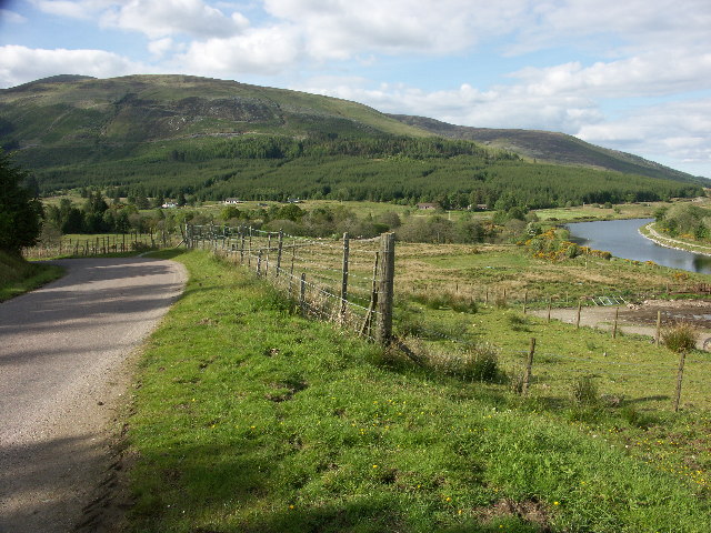
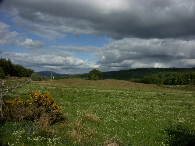
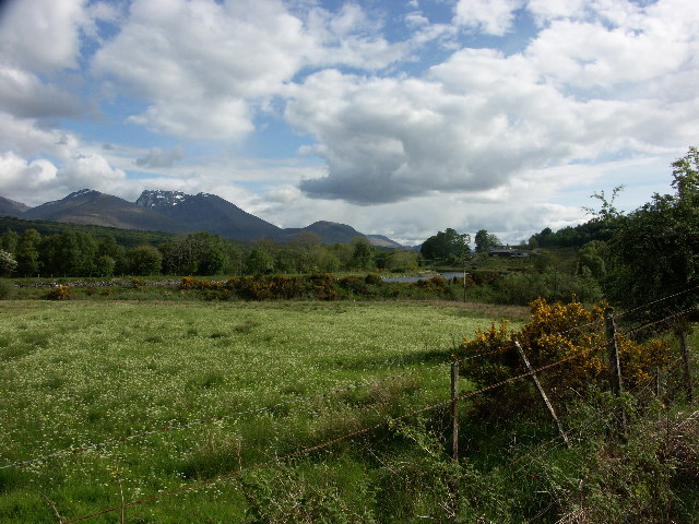
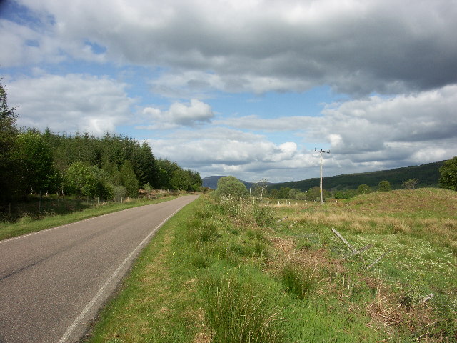
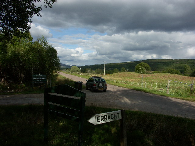
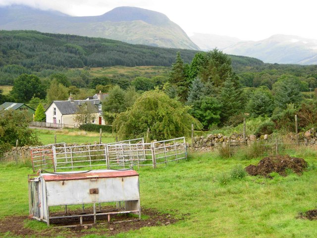
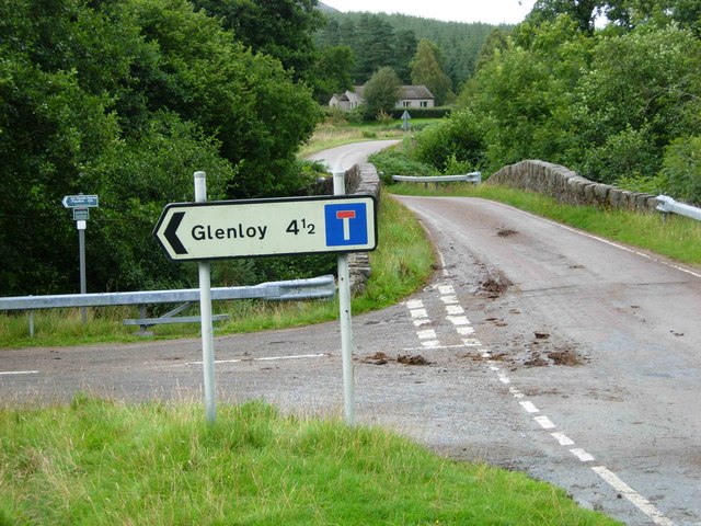
Muirshearlich is a small village located in the county of Inverness-shire, Scotland. Situated on the banks of the River Spey, it is surrounded by picturesque landscapes and breathtaking views of the Scottish Highlands.
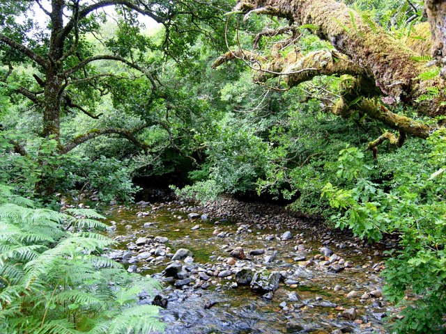
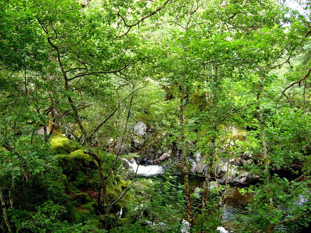
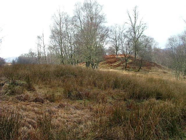
The village is known for its tranquil and idyllic setting, making it a popular destination for nature lovers and outdoor enthusiasts. The area offers a wide range of outdoor activities, including hiking, fishing, and birdwatching. The nearby Cairngorms National Park, with its stunning mountain ranges and diverse wildlife, is a major draw for visitors.
Muirshearlich has a small population, predominantly engaged in agriculture and tourism. Local amenities include a general store, a post office, and a few small businesses catering to tourists. The village also boasts a charming primary school, serving the local children.
Historically, Muirshearlich played a significant role in the whisky industry. There were several distilleries in the area, contributing to the rich heritage of Scotch whisky production. Today, some of the old distilleries have been transformed into visitor centers, offering tours and tastings to whisky enthusiasts.
The village hosts various events and festivals throughout the year, celebrating the local culture and heritage. The annual Highland Games, featuring traditional Scottish sports and music, is a highlight for both locals and tourists.
With its peaceful ambiance and stunning natural surroundings, Muirshearlich offers a serene escape from the hustle and bustle of city life, providing visitors with an authentic Scottish experience.
If you have any feedback on the listing, please let us know in the comments section below.
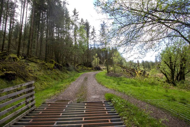
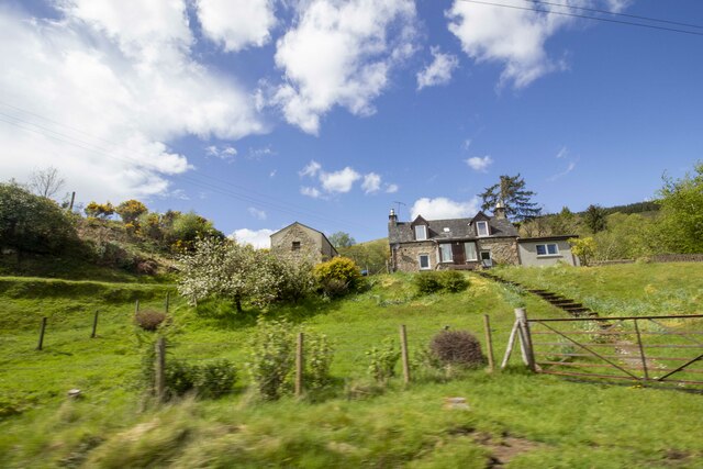
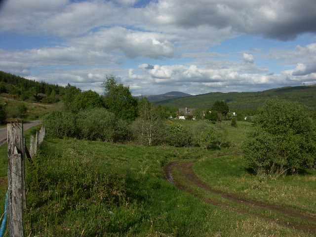
Muirshearlich Images
Images are sourced within 2km of 56.879244/-5.055151 or Grid Reference NN1380. Thanks to Geograph Open Source API. All images are credited.


Muirshearlich is located at Grid Ref: NN1380 (Lat: 56.879244, Lng: -5.055151)
Unitary Authority: Highland
Police Authority: Highlands and Islands
What 3 Words
///forgiving.expectant.fires. Near Gairlochy, Highland
Nearby Locations
Related Wikis

Muirshearlich
Muirshearlich (Scottish Gaelic: Muir Sìorlaich) is a small hamlet, 4 miles northeast of Fort William, along the B8004 road, in Lochaber, Scottish Highlands...
Glen Loy Aqueduct
The Glen Loy Aqueduct (or Glenloy Aqueduct) carries the Caledonian Canal over the River Loy, near Muirshearlich, between Banavie and Gairlochy. == History... ==

Tor Castle
Tor Castle is a ruined castle, about 3 miles (5 kilometres) north east of Fort William, Highland, Scotland, west of the River Lochy and east of the Caledonian...

Glen Loy
Glen Loy is a glen or valley in the Northwest Highlands of Scotland which opens onto the Great Glen at its eastern end. It is drained by the River Loy...
Related Videos

Walking up to Ben Nevis #scotland #bennevis #fortwilliam #hikinggirl
Starting the long walk up to the top of Ben Nevis, the UKs highest mountain #hikerlife #scotland #trekking #highmountain.

We're back for the 2024 MTB World Cup season! Walking the track here in Scotland... Vlog #1
As usual it's felt like a long off season back in Australia but now we're finally here in Scotland I'm absolutely itching to get on the ...

Nearby Amenities
Located within 500m of 56.879244,-5.055151Have you been to Muirshearlich?
Leave your review of Muirshearlich below (or comments, questions and feedback).