Mountain
Settlement in Yorkshire
England
Mountain
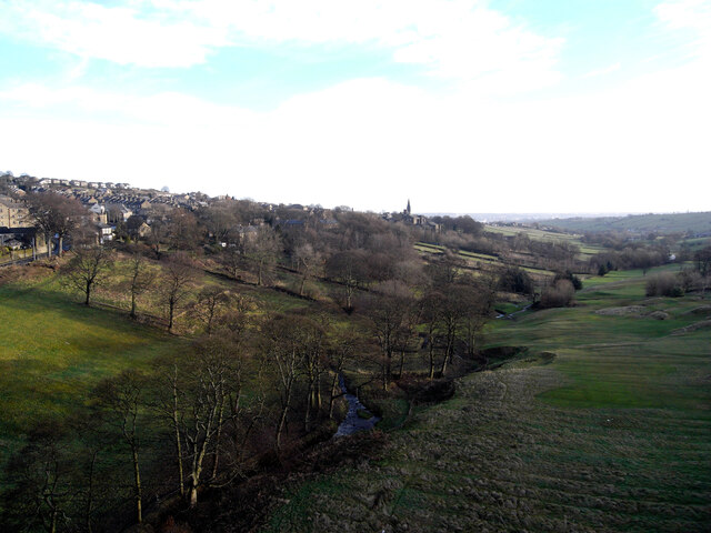
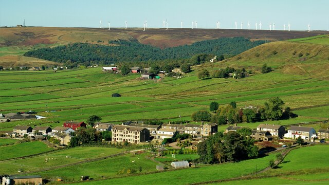
Mountain, Yorkshire is a picturesque village located in the heart of the Yorkshire Dales National Park, England. Situated amidst stunning natural landscapes and rolling hills, this charming village offers a tranquil and idyllic escape from the bustling city life.
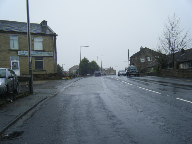
The village itself is small, with a population of around 500 residents. It maintains a strong sense of community and a rich rural heritage. Traditional stone cottages, dating back several centuries, line the narrow streets, exuding a timeless charm. The architecture is a testament to the village's history and complements the surrounding natural beauty.
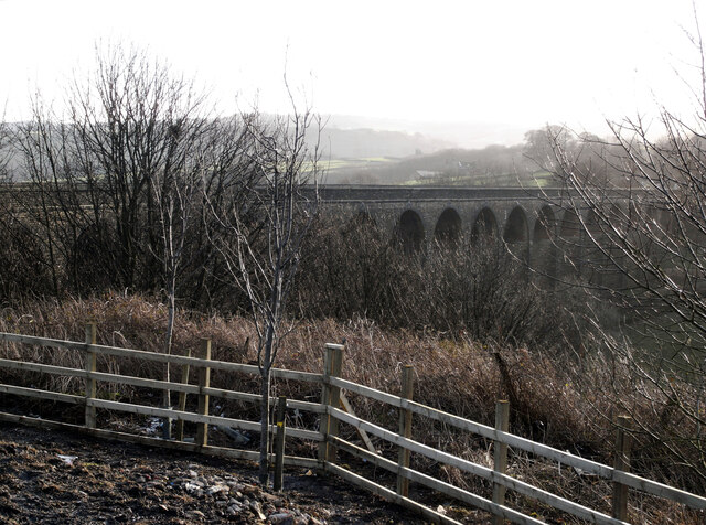
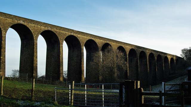
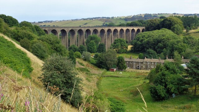
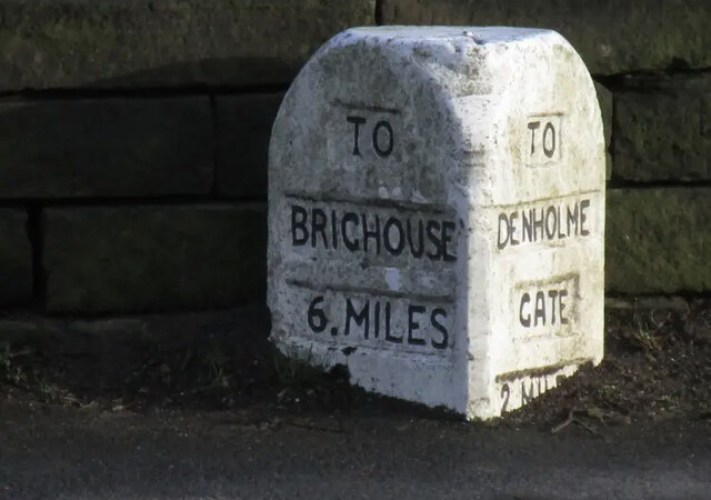
Nature enthusiasts are drawn to Mountain for its abundant opportunities for outdoor activities. The village serves as an excellent base for hikers, cyclists, and walkers, with a network of well-maintained trails and paths leading to breathtaking viewpoints and hidden gems in the countryside. The nearby mountains, after which the village is named, offer stunning panoramic vistas and challenging terrain for experienced climbers.
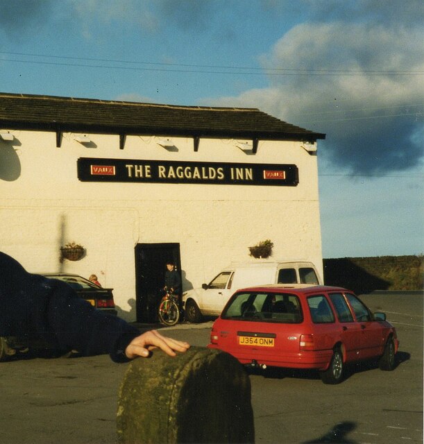
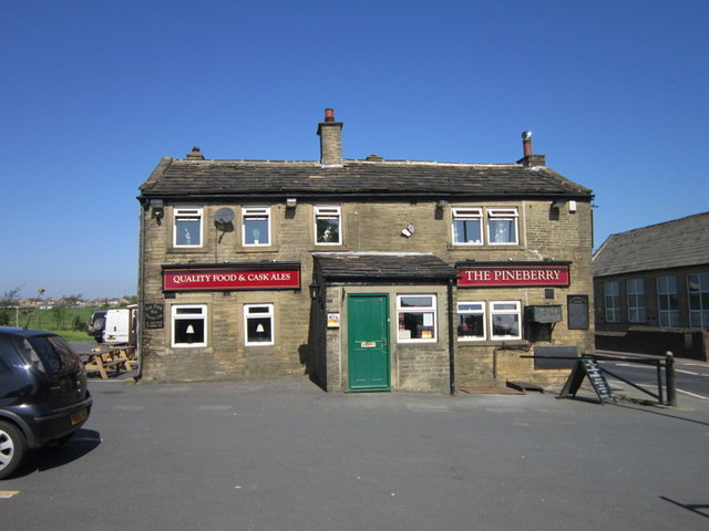
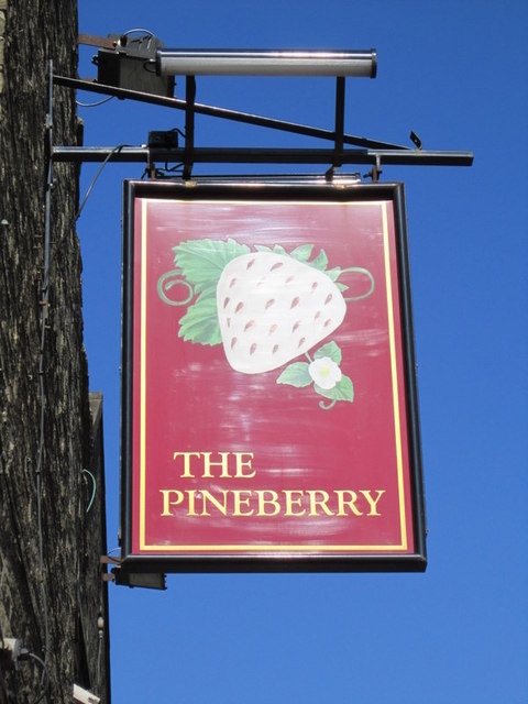
In addition to its natural attractions, Mountain boasts a few local amenities. The village has a cozy pub, The Mountain Inn, where visitors can unwind and enjoy hearty meals after an adventurous day. A small convenience store caters to residents' daily needs, while a charming tea room offers a delightful spot for a cup of tea and a slice of homemade cake.
Mountain, Yorkshire is a haven for those seeking serenity and a connection with nature. Its untouched beauty, coupled with its warm and welcoming community, make it an ideal destination for a peaceful retreat or an active holiday in the heart of the stunning Yorkshire Dales.
If you have any feedback on the listing, please let us know in the comments section below.
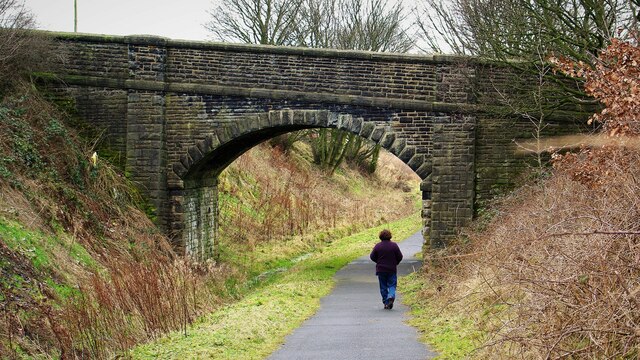
Mountain Images
Images are sourced within 2km of 53.773637/-1.863103 or Grid Reference SE0930. Thanks to Geograph Open Source API. All images are credited.


Mountain is located at Grid Ref: SE0930 (Lat: 53.773637, Lng: -1.863103)
Division: West Riding
Unitary Authority: Bradford
Police Authority: West Yorkshire
What 3 Words
///fantastic.stores.bricks. Near Clayton, West Yorkshire
Nearby Locations
Related Wikis

Queensbury, West Yorkshire
Queensbury is a village in the metropolitan borough of Bradford, West Yorkshire, England. Perched on a high vantage point above Halifax, Clayton and Thornton...
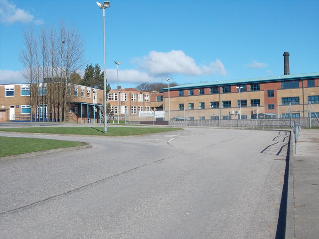
Trinity Academy Bradford
Trinity Academy Bradford (formerly Queensbury School and then Queensbury Academy) is an 11–16 mixed, secondary school located in Queensbury (near Bradford...

Bradshaw, Calderdale
Bradshaw is a village within the Metropolitan Borough of Calderdale, in West Yorkshire, England. == Buildings == The parish church is dedicated to St John...

Queensbury railway station
Queensbury railway station was a station on the Queensbury lines serving the village of Queensbury, West Yorkshire, England. The station was unusual due...
Nearby Amenities
Located within 500m of 53.773637,-1.863103Have you been to Mountain?
Leave your review of Mountain below (or comments, questions and feedback).