Hill Top
Settlement in Yorkshire
England
Hill Top
Hill Top is a small village located in the county of Yorkshire, England. Situated in the heart of the picturesque countryside, it is known for its charming and idyllic setting. Hill Top is part of the Lake District National Park, renowned for its outstanding natural beauty and stunning landscapes.
The village is famous for being the former residence of the renowned children's author, Beatrix Potter. Hill Top was the inspiration for many of her beloved characters and stories, and her former home has been preserved as a museum, attracting visitors from around the world.
Surrounded by rolling hills, lush green meadows, and quaint cottages, Hill Top offers a peaceful retreat for both locals and tourists alike. The village boasts several walking trails that allow visitors to explore the breathtaking scenery and discover hidden gems along the way.
A visit to Hill Top is incomplete without a stop at the local tea rooms, serving traditional English tea and homemade pastries. The village also features a small gift shop where visitors can purchase Beatrix Potter memorabilia and other locally crafted items.
Throughout the year, Hill Top hosts various events and festivals, celebrating the area's rich history and cultural heritage. These include craft fairs, music concerts, and agricultural shows, offering a taste of the vibrant community spirit that thrives in this charming Yorkshire village.
In conclusion, Hill Top is a truly enchanting destination, offering visitors a glimpse into the world of Beatrix Potter, along with stunning natural beauty and a warm, welcoming atmosphere.
If you have any feedback on the listing, please let us know in the comments section below.
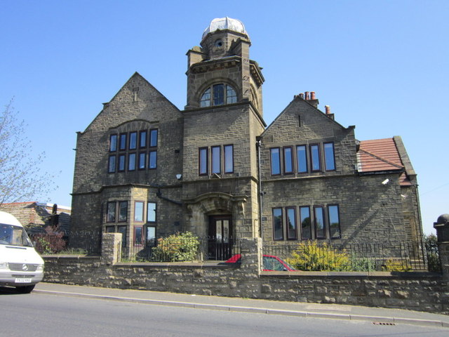
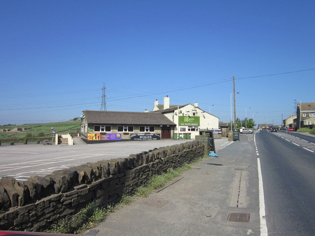
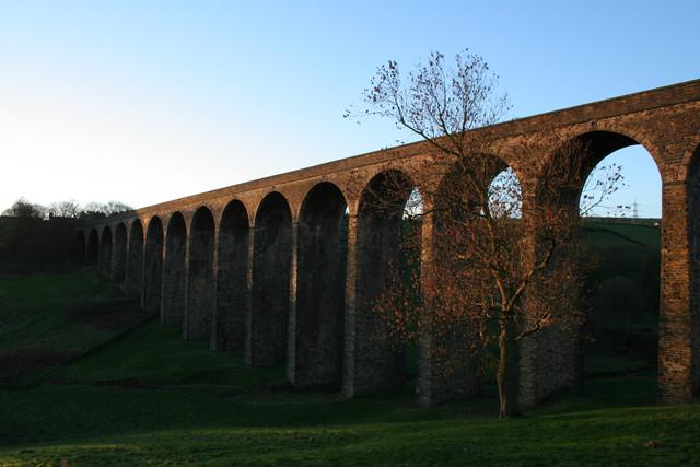
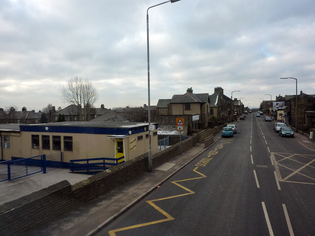
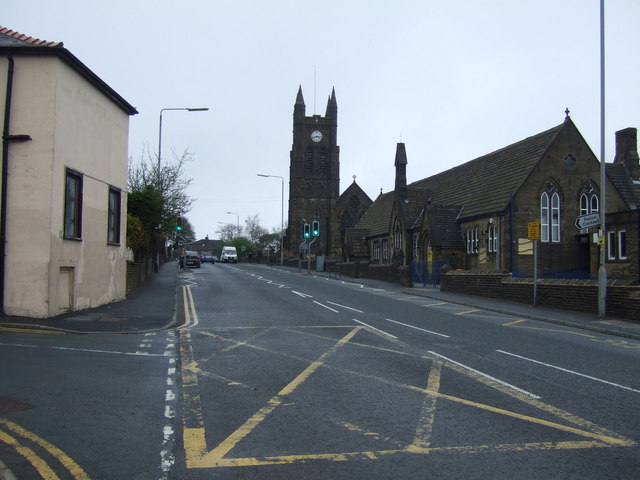
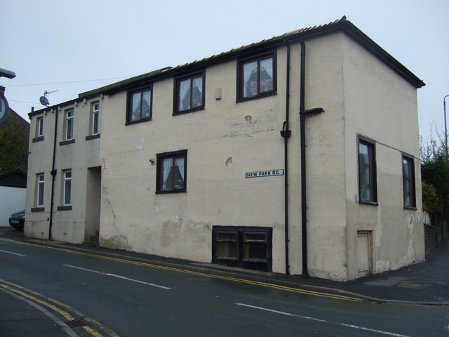
Hill Top Images
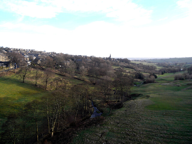
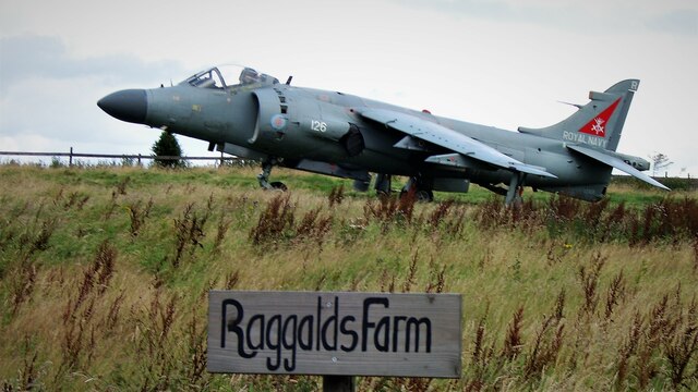
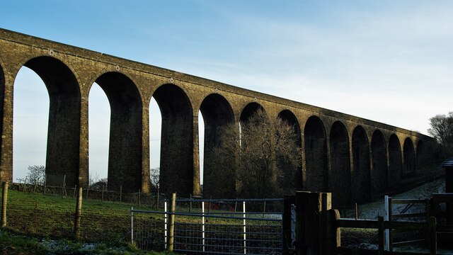
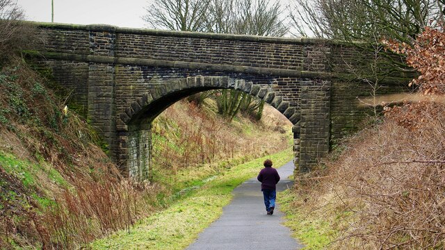
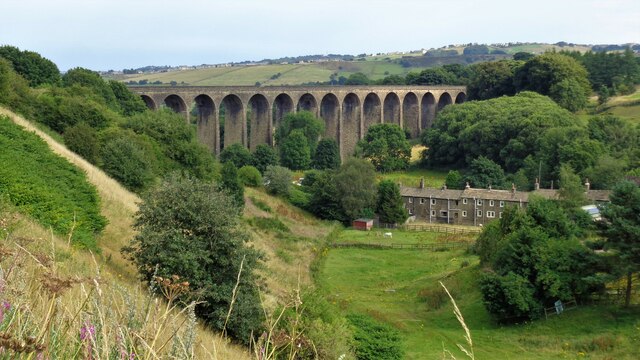
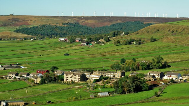
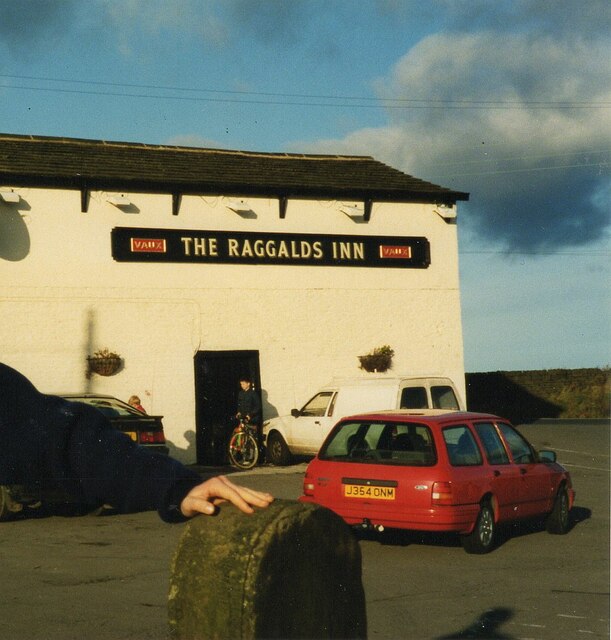
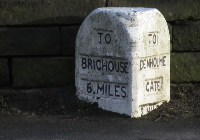
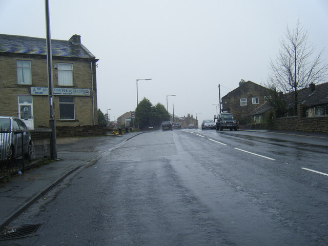
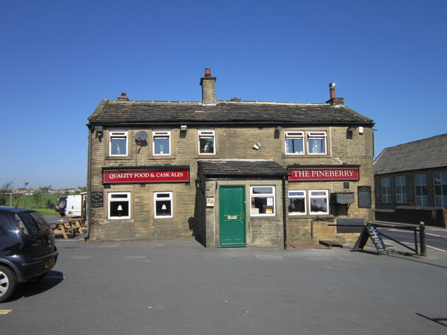
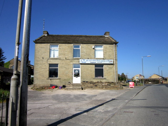
Images are sourced within 2km of 53.77119/-1.8508514 or Grid Reference SE0930. Thanks to Geograph Open Source API. All images are credited.
Hill Top is located at Grid Ref: SE0930 (Lat: 53.77119, Lng: -1.8508514)
Division: West Riding
Unitary Authority: Bradford
Police Authority: West Yorkshire
What 3 Words
///scores.healers.taken. Near Clayton, West Yorkshire
Nearby Locations
Related Wikis

Queensbury, West Yorkshire
Queensbury is a village in the metropolitan borough of Bradford, West Yorkshire, England. Perched on a high vantage point above Halifax, Clayton and Thornton...
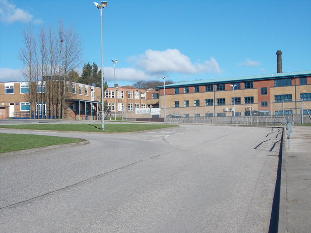
Trinity Academy Bradford
Trinity Academy Bradford (formerly Queensbury School and then Queensbury Academy) is an 11–16 mixed, secondary school located in Queensbury (near Bradford...

Queensbury railway station
Queensbury railway station was a station on the Queensbury lines serving the village of Queensbury, West Yorkshire, England. The station was unusual due...

Queensbury and Shelf Urban District
Queensbury and Shelf was an urban district in the West Riding of Yorkshire from 1937 to 1974. The district was formed by a County Review Order by the amalgamation...
Nearby Amenities
Located within 500m of 53.77119,-1.8508514Have you been to Hill Top?
Leave your review of Hill Top below (or comments, questions and feedback).