Mickle Moss
Downs, Moorland in Yorkshire
England
Mickle Moss
Mickle Moss is a picturesque area located in Yorkshire, England. Nestled within the stunning landscape of the Yorkshire Downs and Moorland, Mickle Moss offers a unique and tranquil environment for nature lovers and outdoor enthusiasts.
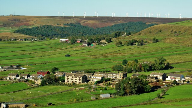
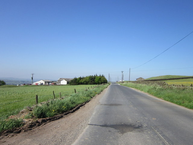
The area is known for its vast expanses of heather-covered moorland, which transforms into a vibrant purple hue during the summer months. Visitors can enjoy long walks and hikes, breathing in the fresh air and taking in the breathtaking panoramic views of the surrounding countryside.
Mickle Moss is also home to a variety of wildlife, including rare species such as the curlew, golden plover, and red grouse. Birdwatchers and nature enthusiasts will find themselves captivated by the diverse range of fauna that can be spotted in the area.
The terrain of Mickle Moss is relatively flat, making it ideal for leisurely strolls and cycling trips. Adventurous visitors can explore the numerous footpaths and trails that crisscross the landscape, leading to hidden gems such as ancient stone circles and burial mounds.
In addition to its natural beauty, Mickle Moss boasts a rich history. The area has been inhabited since prehistoric times, with evidence of human activities dating back thousands of years. Visitors can discover the remnants of Bronze Age settlements and Roman roads, providing a fascinating glimpse into the past.
Overall, Mickle Moss in Yorkshire offers a serene and captivating experience for those seeking a retreat into nature, with its stunning moorland scenery, abundant wildlife, and intriguing historical sites.
If you have any feedback on the listing, please let us know in the comments section below.
Mickle Moss Images
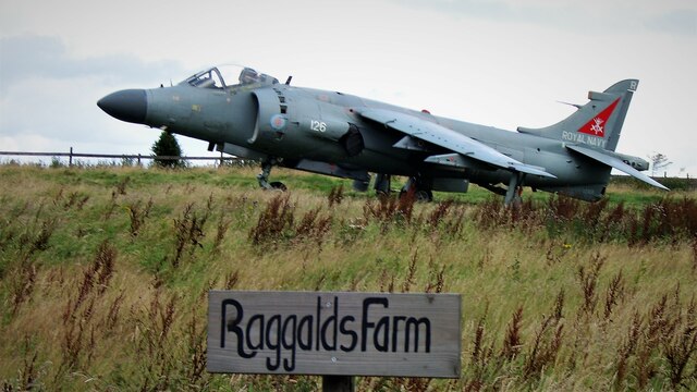
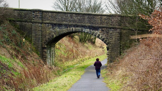
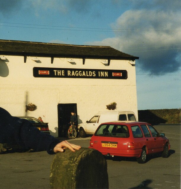
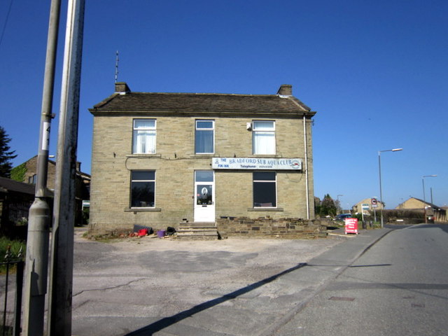
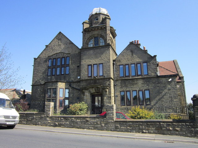
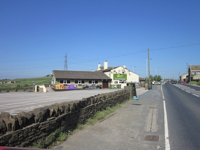
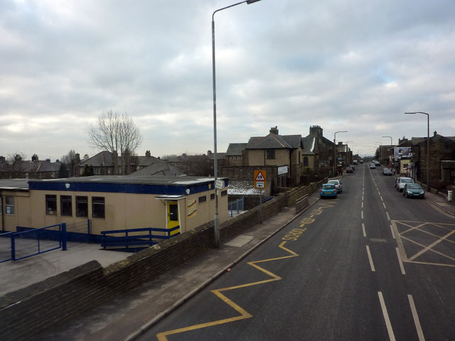
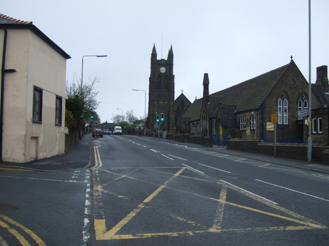
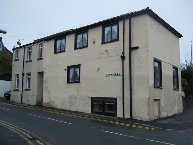
Images are sourced within 2km of 53.769781/-1.8601869 or Grid Reference SE0930. Thanks to Geograph Open Source API. All images are credited.


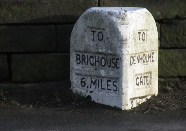
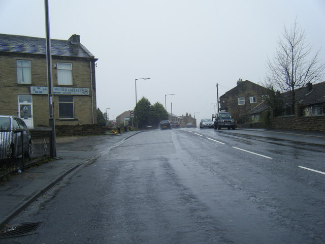
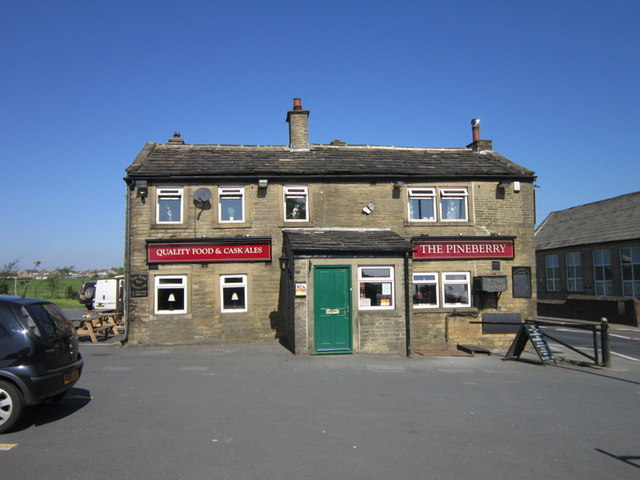

Mickle Moss is located at Grid Ref: SE0930 (Lat: 53.769781, Lng: -1.8601869)
Division: West Riding
Unitary Authority: Bradford
Police Authority: West Yorkshire
What 3 Words
///option.skill.foam. Near Clayton, West Yorkshire
Nearby Locations
Related Wikis

Queensbury, West Yorkshire
Queensbury is a village in the metropolitan borough of Bradford, West Yorkshire, England. Perched on a high vantage point above Halifax, Clayton and Thornton...
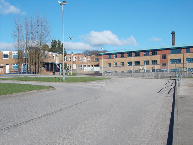
Trinity Academy Bradford
Trinity Academy Bradford (formerly Queensbury School and then Queensbury Academy) is an 11–16 mixed, secondary school located in Queensbury (near Bradford...

Bradshaw, Calderdale
Bradshaw is a village within the Metropolitan Borough of Calderdale, in West Yorkshire, England. == Buildings == The parish church is dedicated to St John...

Queensbury railway station
Queensbury railway station was a station on the Queensbury lines serving the village of Queensbury, West Yorkshire, England. The station was unusual due...
Nearby Amenities
Located within 500m of 53.769781,-1.8601869Have you been to Mickle Moss?
Leave your review of Mickle Moss below (or comments, questions and feedback).