Mount Pleasant

Settlement in Cheshire / Staffordshire

England

Mount Pleasant

View from near Wood Cottage A view across the Cheshire plain on a rather dull October day. The train bottom left is on the Stoke to Manchester line.
View from near Wood Cottage Credit: Stephen Craven

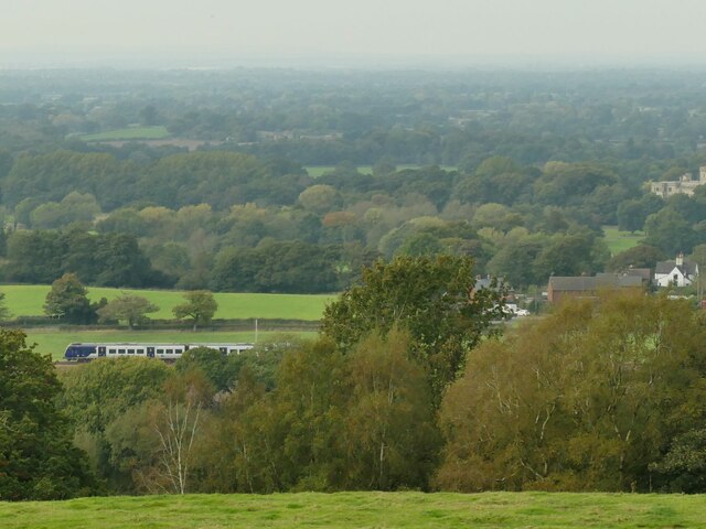
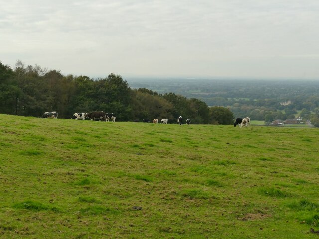
Mount Pleasant is a small village located on the border between Cheshire and Staffordshire, in the United Kingdom. It is situated in the picturesque countryside, surrounded by rolling hills and farmland. The village is primarily residential, with a population of around 1,000 people.

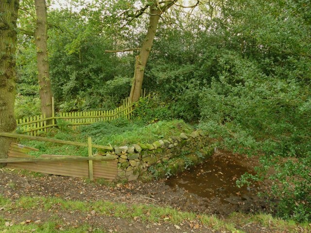
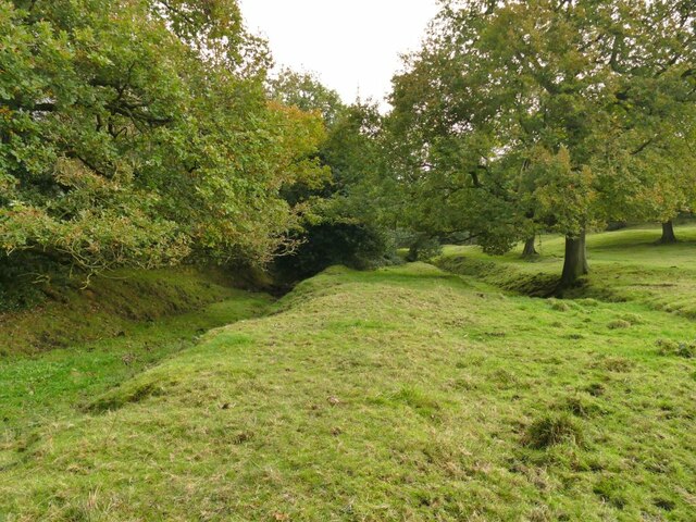
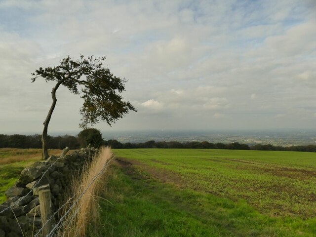
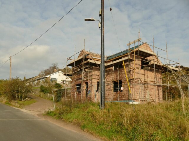
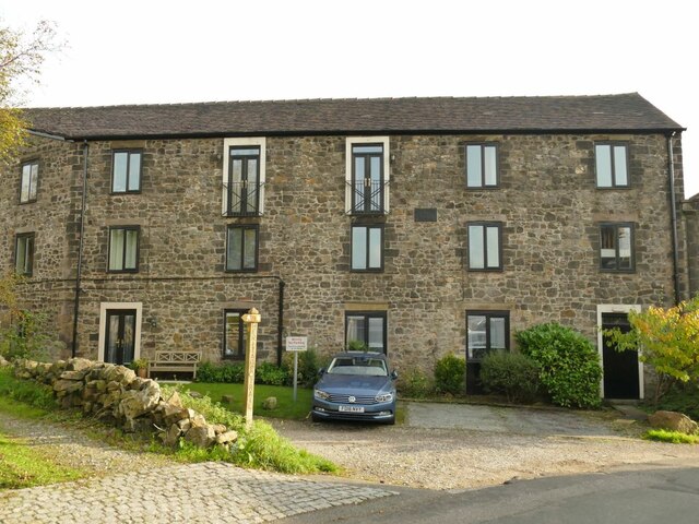
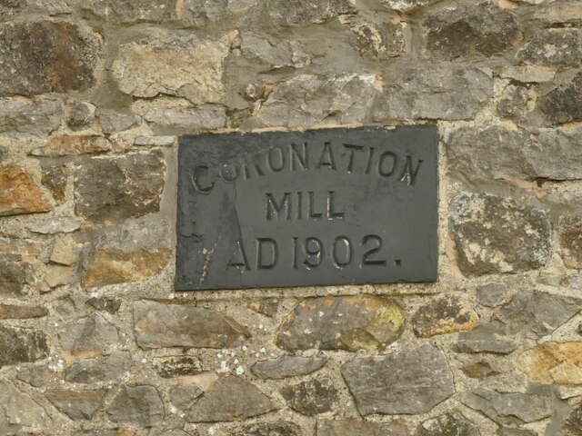
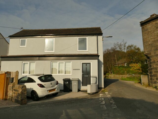
The village has a rich history, dating back to at least the 18th century. It was originally a farming community, and evidence of its agricultural past can still be seen in the surrounding landscape. The village is characterized by charming cottages and traditional stone houses, which add to its quaint and tranquil atmosphere.

Despite its small size, Mount Pleasant has a strong sense of community and offers a range of amenities for its residents. These include a local school, a village hall, and a community center. There is also a village shop and a pub, providing basic necessities and a social hub for the locals.

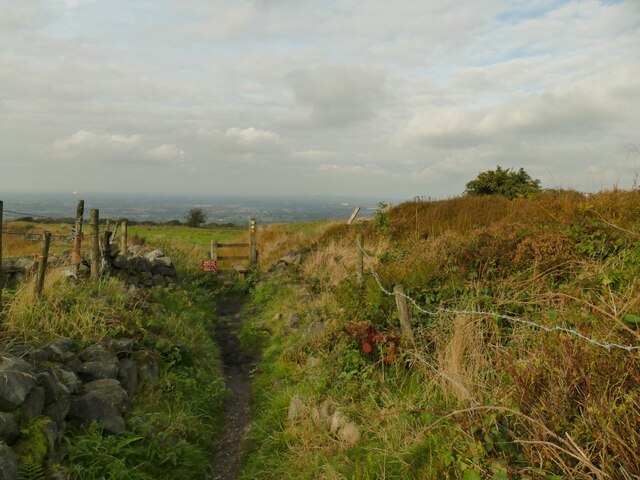
The village is surrounded by beautiful countryside, making it an ideal location for outdoor enthusiasts. There are several walking and cycling routes in the area, allowing residents to explore the natural beauty of the region. Additionally, the nearby Peak District National Park offers further opportunities for outdoor activities, such as hiking, rock climbing, and wildlife spotting.

Overall, Mount Pleasant offers a peaceful and idyllic living environment, with its scenic surroundings and strong community spirit.

If you have any feedback on the listing, please let us know in the comments section below.

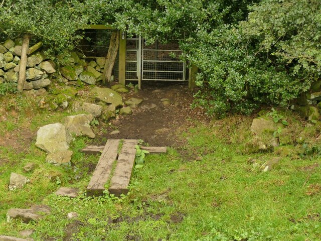
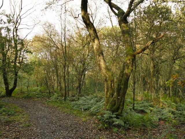
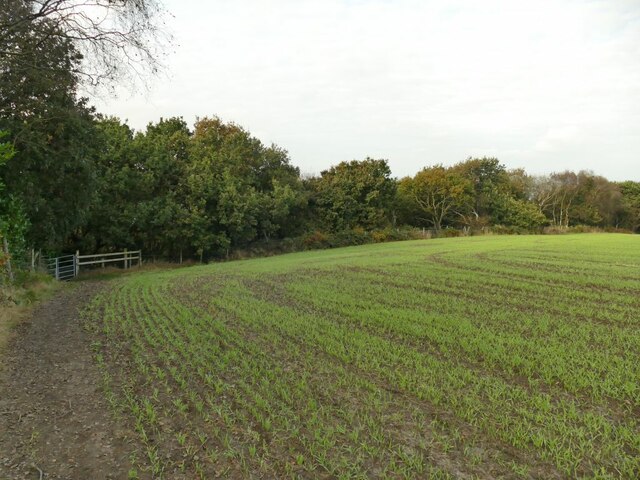
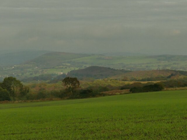
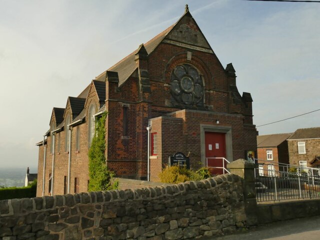
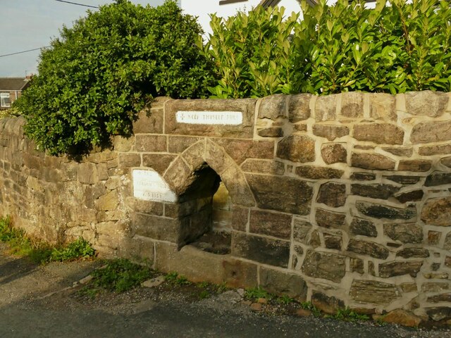
Mount Pleasant Images

Images are sourced within 2km of 53.106356/-2.22851 or Grid Reference SJ8456. Thanks to Geograph Open Source API. All images are credited.

View from near Wood Cottage A view across the Cheshire plain on a rather dull October day. The train bottom left is on the Stoke to Manchester line.
View from near Wood Cottage
A view across the Cheshire plain on a rather dull October day. The train bottom left is on the Stoke to Manchester line.
Small dam above Wood Cottage This may just be to create a pond for cattle to drink from, but at the end of a dry summer there was very little water in it.
Small dam above Wood Cottage
This may just be to create a pond for cattle to drink from, but at the end of a dry summer there was very little water in it.
Holloway alongside Grotto Wood To the left of the photo alongside the boundary of the wood is a sunken track, probably of some antiquity. The present public footpath is to the right of the trees on the opposite side of the picture.
Holloway alongside Grotto Wood
To the left of the photo alongside the boundary of the wood is a sunken track, probably of some antiquity. The present public footpath is to the right of the trees on the opposite side of the picture.
Cattle above Wood Farm A mixture of cows and bulls.
Cattle above Wood Farm
A mixture of cows and bulls.
Path into Hanging Wood Along the South Cheshire Way.
Path into Hanging Wood
Along the South Cheshire Way.
Near the top of Hanging Wood Along the South Cheshire Way. See also <a href="https://www.geograph.org.uk/photo/6607514">SJ8558 : Hanging Wood</a>.
Near the top of Hanging Wood
Along the South Cheshire Way. See also SJ8558 : Hanging Wood.
Path towards Hanging Wood The South Cheshire Way runs along the edge of this arable field before entering the wood on the bend (left of photo).
Path towards Hanging Wood
The South Cheshire Way runs along the edge of this arable field before entering the wood on the bend (left of photo).
View towards the Cloud The hill in the centre with dark trees is Congleton Edge; the Cloud is the name of the hill further on and to the left with lighter tree covering.  It was a dull October day, very mild with tropical air bringing high humidity resulting in hazy views.
View towards the Cloud
The hill in the centre with dark trees is Congleton Edge; the Cloud is the name of the hill further on and to the left with lighter tree covering. It was a dull October day, very mild with tropical air bringing high humidity resulting in hazy views.
Lone tree below Daisy Bank Farm The tree has grown up bending before the onslaught of prevailing south-westerly winds.  I'm not the first photographer to have noticed it <a href="https://www.geograph.org.uk/photo/6261013">SJ8557 : South Cheshire Way</a>.
Lone tree below Daisy Bank Farm
The tree has grown up bending before the onslaught of prevailing south-westerly winds. I'm not the first photographer to have noticed it SJ8557 : South Cheshire Way.
Stile below Daisy Bank Farm The stile is on the South Cheshire Way.
Stile below Daisy Bank Farm
The stile is on the South Cheshire Way.
Mow Cop transmitter The site was formerly Ministry of Defence, having been used for a radio jamming station in WW2, but is now a DAB radio transmitter. see <a href="https://www.geograph.org.uk/photo/6080377">SJ8557 : Mow Cop transmitter</a> for a view with wider context.
Mow Cop transmitter
The site was formerly Ministry of Defence, having been used for a radio jamming station in WW2, but is now a DAB radio transmitter. see SJ8557 : Mow Cop transmitter for a view with wider context.
The Methodist stone at Mow Cop The inscription on the stone records that the Primitive Methodists originated with evangelistic rallies on this site in 1807.  The full text is given at <a href="https://www.geograph.org.uk/photo/5100400">SJ8557 : Mow Cop Castle Commemorative Stone</a>.
The Methodist stone at Mow Cop
The inscription on the stone records that the Primitive Methodists originated with evangelistic rallies on this site in 1807. The full text is given at SJ8557 : Mow Cop Castle Commemorative Stone.
The new last house in Cheshire This new build on High Street, Mow Cop, appears to be infill development. The Cheshire/Staffordshire border runs immediately behind it.
The new last house in Cheshire
This new build on High Street, Mow Cop, appears to be infill development. The Cheshire/Staffordshire border runs immediately behind it.
The former Coronation Mill, Mow Cop Built in 1902 (hence named after the coronation of Edward VII on 9 August 1902), this was a fustian mill that was in use until at least 1923 (source: mowcop.info). It has now been converted into apartments.
The former Coronation Mill, Mow Cop
Built in 1902 (hence named after the coronation of Edward VII on 9 August 1902), this was a fustian mill that was in use until at least 1923 (source: mowcop.info). It has now been converted into apartments.
Datestone on the former Coronation Mill See <a href="https://www.geograph.org.uk/photo/6995706">SJ8557 : The former Coronation Mill, Mow Cop</a> for context and history.
Datestone on the former Coronation Mill
See SJ8557 : The former Coronation Mill, Mow Cop for context and history.
The Old Post Office, Mow Cop The house looks quite modern so may be on the site of, rather than the actual, post office building.
The Old Post Office, Mow Cop
The house looks quite modern so may be on the site of, rather than the actual, post office building.
Primitive Methodist Chapel, Woodcock Lane, Mow Cop Primitive Methodism started in this village in 1807 and the (now United) Methodist church is still open. The date on the building is 1860; another contributor  gives a date of 1857 <a href="https://www.geograph.org.uk/photo/1016521">SJ8557 : Primitive Methodist Memorial Church, Mow Cop</a> but that may have been the start of construction, and 1860 when it was finished and dedicated.
Primitive Methodist Chapel, Woodcock Lane, Mow Cop
Primitive Methodism started in this village in 1807 and the (now United) Methodist church is still open. The date on the building is 1860; another contributor gives a date of 1857 SJ8557 : Primitive Methodist Memorial Church, Mow Cop but that may have been the start of construction, and 1860 when it was finished and dedicated.
Parson's Well, Mow Cop There are several wells shown in the village on this map, probably indicating a change of geology favourable to natural springs.  This own was opened in 1858 and due to its more ornate construction is listed grade II (list entry 1309822). See also <a href="https://www.geograph.org.uk/photo/1016502">SJ8557 : Parson's Well, Mow Cop</a>.
Parson's Well, Mow Cop
There are several wells shown in the village on this map, probably indicating a change of geology favourable to natural springs. This own was opened in 1858 and due to its more ornate construction is listed grade II (list entry 1309822). See also SJ8557 : Parson's Well, Mow Cop.
Show me another place!

Mount Pleasant is located at Grid Ref: SJ8456 (Lat: 53.106356, Lng: -2.22851)

Unitary Authority: Cheshire East

Police Authority: Cheshire

What 3 Words

///super.skip.remit. Near Kidsgrove, Staffordshire

Nearby Locations

Mount Pleasant

Related Wikis

Mow Cop

Mow Cop is a village split between Cheshire and Staffordshire, and therefore divided between the North West and West Midlands regions of England. It is...

Mow Cop Castle

Mow Cop Castle is a folly at Mow Cop in the civil parish of Odd Rode, Cheshire, England. It is designated as a Grade II listed building on the National...

Kidsgrove Secondary School

Kidsgrove Secondary School is a coeducational secondary school located in Kidsgrove in the English county of Staffordshire.It was originally known as Maryhill...

Mow Cop and Scholar Green railway station

Mow Cop and Scholar Green railway station was a station on the North Staffordshire Railway between Stoke-on-Trent and Congleton. It served the village...

Related Videos

Walking the Killer Mile at Mow Cop Staffordshire

Join me on this walk up the killer mile here in Mow Cop, Its a lovely sunny night and a little out of breath but we make it #mowcop ...

Medieval manor England #england #shortsfeed #medieval

travel #explore #northwest This beautiful Medieval Manor House in Cheshire North west England is "lifted straight from a fairy ...

Nearby Amenities

Located within 500m of 53.106356,-2.22851
Telephone
Defibrillator
Booth: K6
Covered: booth
Defibrillator Location: inside red phone box, Clare Street
Emergency: defibrillator
Man Made: telephone_box
Old Phone: +44 1782 523967
Lat/Long: 53.1057971/-2.2255523
Post Box
Post Box Type: pillar
Royal Cypher: EIIR
Royal Cypher Wikidata: Q33102113
Lat/Long: 53.1059092/-2.2258643
Pub
The Crown
Addr Housenumber: 16
Addr Postcode: ST7 4NT
Addr Street: Chapel Street
Fhrs Id: 1243171
Source Addr: FHRS Open Data
Lat/Long: 53.106624/-2.2261456
Parking
Lat/Long: 53.1065358/-2.2264469
Bus Stop
Mount Pleasant, Chapel Street / Crown Inn PH
Bus: yes
Naptan AtcoCode: 0600CO149
Naptan Bearing: S
Naptan CommonName: Crown Inn PH
Naptan Crossing: Church Street
Naptan Indicator: nr
Naptan Landmark: Crown Inn PH
Naptan LocalityName: Mount Pleasant
Naptan NaptanCode: cheapwg
Naptan ShortCommonName: Crown Inn PH
Naptan Street: Chapel Street
Naptan Verified: no
Network: Cheshire East Council
Operator: Ansa Transport
Public Transport: platform
Source: naptan_import
Lat/Long: 53.1066662/-2.226201
Bus Stop
Mount Pleasant, Chapel Street / The Hollow
Bus: yes
Naptan AtcoCode: 0600CO150
Naptan Bearing: SE
Naptan CommonName: The Hollow
Naptan Indicator: opp
Naptan Landmark: Heatherside
Naptan LocalityName: Mount Pleasant
Naptan NaptanCode: chemdtw
Naptan ShortCommonName: The Hollow
Naptan Street: Chapel Street
Naptan Verified: no
Network: Cheshire East Council
Operator: Ansa Transport
Public Transport: platform
Source: naptan_import
Lat/Long: 53.1053915/-2.2252088
Bus Stop
Mount Pleasant, Chapel Street / The Hollow
Bus: yes
Naptan AtcoCode: 0600CO151
Naptan Bearing: NW
Naptan BusStopType: CUS
Naptan CommonName: The Hollow
Naptan Crossing: The Hollow
Naptan Indicator: cnr
Naptan Landmark: Heatherside
Naptan LocalityName: Mount Pleasant
Naptan NaptanCode: chemdwa
Naptan ShortCommonName: The Hollow
Naptan Street: Chapel Street
Naptan Verified: no
Network: Cheshire East Council
Operator: Ansa Transport
Public Transport: platform
Source: naptan_import
Lat/Long: 53.1052406/-2.2252423
Barrier: stile
Lat/Long: 53.1097204/-2.2297654
Barrier: stile
Lat/Long: 53.1085659/-2.2333569
Barrier: stile
Lat/Long: 53.1086303/-2.2334025
Barrier: stile
Lat/Long: 53.1054325/-2.232048
Barrier: stile
Lat/Long: 53.1051893/-2.23193
Barrier: stile
Lat/Long: 53.104644/-2.2318738
Barrier: stile
Lat/Long: 53.1042666/-2.2318576
Barrier: stile
Steps: 3
Stile: stepover
Lat/Long: 53.1040709/-2.2317744
Barrier: kissing_gate
Lat/Long: 53.1096705/-2.2299537
Barrier: kissing_gate
Lat/Long: 53.109745/-2.2323822
Barrier: stile
Steps: 2
Stile: stepover
Lat/Long: 53.1047687/-2.2235476
Generator Method: photovoltaic
Generator Output Electricity: yes
Generator Source: solar
Generator Type: solar_photovoltaic_panel
Power: generator
Lat/Long: 53.1055766/-2.2221412
Generator Method: photovoltaic
Generator Output Electricity: yes
Generator Source: solar
Generator Type: solar_photovoltaic_panel
Power: generator
Lat/Long: 53.1056137/-2.2218645
Man Made: village_sign
Lat/Long: 53.1056328/-2.2256154
Mount Pleasant
Place: hamlet
Lat/Long: 53.1056876/-2.2253569
Bus Stop
Mow Cop, Chapel Street / Post Office
Bus: yes
Naptan AtcoCode: 0600COIM8101
Naptan Bearing: SE
Naptan BusStopType: CUS
Naptan CommonName: Post Office
Naptan Indicator: o/s
Naptan Landmark: Post Office
Naptan LocalityName: Mow Cop
Naptan NaptanCode: cheadpdm
Naptan ShortCommonName: Post Office
Naptan Street: Chapel Street
Network: Cheshire East Council
Operator: Ansa Transport
Public Transport: platform
Source: naptan_import
Lat/Long: 53.105875/-2.225806
Bus Stop
Mount Pleasant, Chapel Street / Crown Inn PH
Bus: yes
Naptan AtcoCode: 0600CO19147
Naptan Bearing: N
Naptan BusStopType: CUS
Naptan CommonName: Crown Inn PH
Naptan Crossing: Church Street
Naptan Indicator: opp
Naptan Landmark: Crown Inn PH
Naptan LocalityName: Mount Pleasant
Naptan NaptanCode: cheadmgt
Naptan ShortCommonName: Crown Inn PH
Naptan Street: Chapel Street
Network: Cheshire East Council
Operator: Ansa Transport
Public Transport: platform
Source: naptan_import
Lat/Long: 53.106486/-2.226347
The data included in this document is from www.openstreetmap.org. The data is made available under ODbL.

Have you been to Mount Pleasant?

Leave your review of Mount Pleasant below (or comments, questions and feedback).