Moss Nook

Settlement in Lancashire

England

Moss Nook

Footpath between Rookery Lane and Sandwash Close, Rainford
Footpath between Rookery Lane and Sandwash Close, Rainford Credit: Gary Rogers

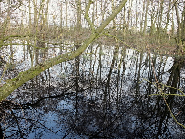
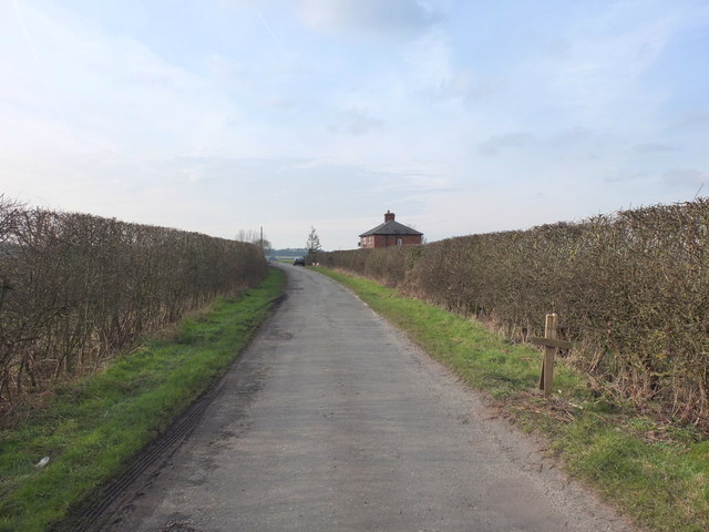
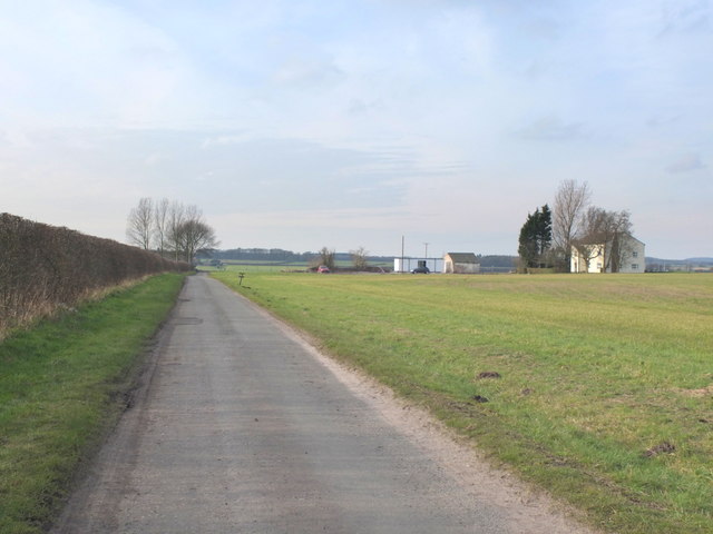
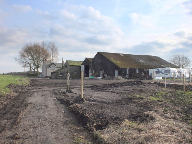
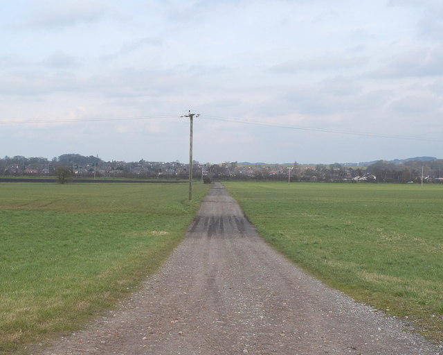
Moss Nook is a small village located in the county of Lancashire, England. Situated in the borough of Trafford, it is part of the Greater Manchester metropolitan area. The village is surrounded by picturesque countryside, offering residents and visitors a peaceful retreat from the nearby urban centers.

With a population of around 2,500 people, Moss Nook maintains a close-knit community feel. The village is primarily residential, consisting of a mix of traditional cottages and more modern houses. The architecture of the area reflects its rural heritage, with many buildings showcasing traditional Lancashire stone.

Despite its relatively small size, Moss Nook is well-served by local amenities. The village boasts a primary school, providing education for local children, and a community center that hosts various activities and events throughout the year. There are also a few local shops and pubs, offering convenience and a sense of community to the residents.

For those looking to explore the surrounding area, Moss Nook provides easy access to the nearby towns of Altrincham and Sale, both of which offer a wider range of amenities, including shopping centers, restaurants, and leisure facilities. The village is also conveniently located near major transportation routes, with the M60 motorway just a short drive away, providing easy access to Manchester city center and the wider Greater Manchester area.

Overall, Moss Nook offers a peaceful and friendly community in a picturesque rural setting, while still providing convenient access to nearby towns and cities.

If you have any feedback on the listing, please let us know in the comments section below.
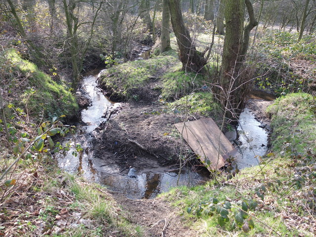
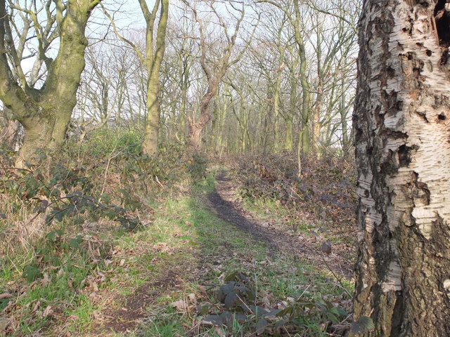
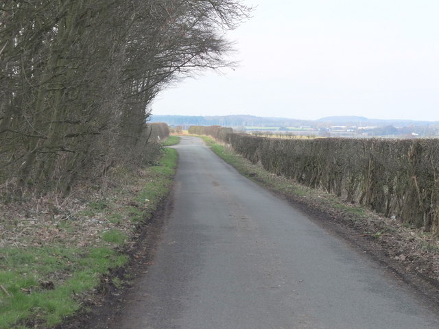
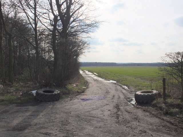
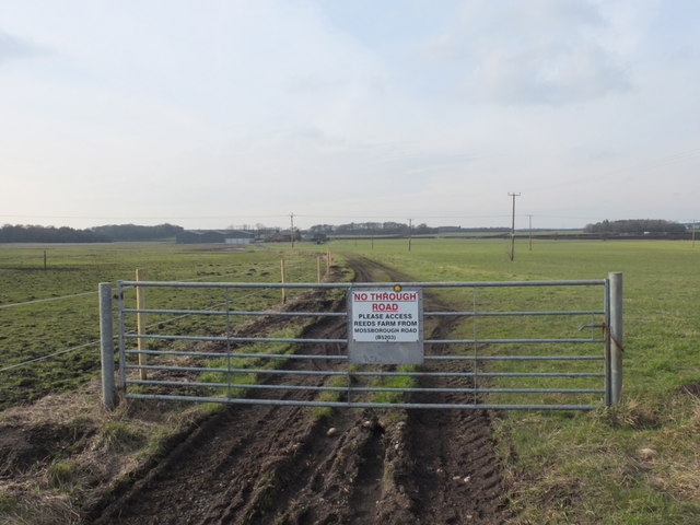
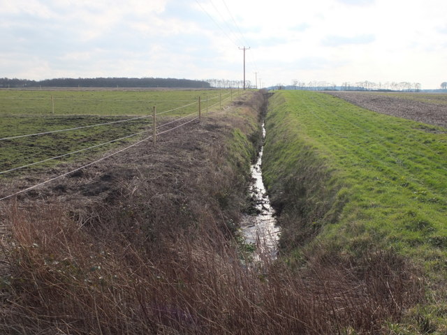
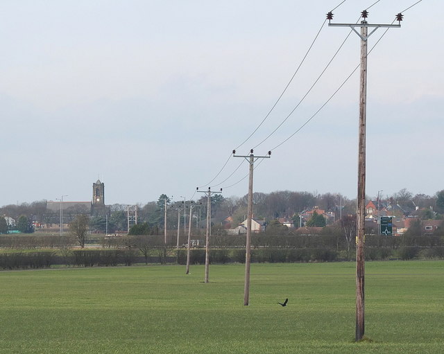
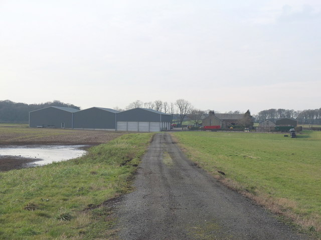
Moss Nook Images

Images are sourced within 2km of 53.494021/-2.8003451 or Grid Reference SD4700. Thanks to Geograph Open Source API. All images are credited.

Footpath between Rookery Lane and Sandwash Close, Rainford
Yard on Sandwash Close, Rianford Industrial Estate Taken from the footpath north east of the units
Yard on Sandwash Close, Rianford Industrial Estate
Taken from the footpath north east of the units
Field between Rainford Industrial Estate and Higher Lane
Stream northeast of Rainford Industrial Estate The stream flows southwest through woodland up to this point where there has been recent geo-engineering work to shore up the banks just before the stream passes under the footpath and disappears beneath the industrial units on Rainford Industrial Estate. It presumably joins Rainford Brook to the South later.
Stream northeast of Rainford Industrial Estate
The stream flows southwest through woodland up to this point where there has been recent geo-engineering work to shore up the banks just before the stream passes under the footpath and disappears beneath the industrial units on Rainford Industrial Estate. It presumably joins Rainford Brook to the South later.
Stream between Higher Lane and Rainford Industrial Estate The stream runs through a narrow strip of woodland
Stream between Higher Lane and Rainford Industrial Estate
The stream runs through a narrow strip of woodland
Path between Rainford Industrial Estate and Higher Lane Through a narrow strip of woodland.
Path between Rainford Industrial Estate and Higher Lane
Through a narrow strip of woodland.
Reed's Lane towards Barrow's Farm, Rainford
Farm track from Reed's Lane to Reed's Moss
Pond off Reed's Lane
Reed's Lane, Rainford
Reed's Lane towards Barrow's Farm, Rainford
Barrow's Farm, Reed's Lane, Rainford
Reed's Lane between Barrow's Farm and Reed's Farm
Drainage ditch off Reed's Lane, Rainford
Field north of Reed's Lane, Rainford
Reed's Lane approaching Reed's Farm, Rainford
Track from Reed's Lane to the Rainford Bypass
Footpath at Reed's Farm, Rainford
Show me another place!

Moss Nook is located at Grid Ref: SD4700 (Lat: 53.494021, Lng: -2.8003451)

Unitary Authority: St. Helens

Police Authority: Merseyside

What 3 Words

///renovated.paces.final. Near Rainford, Merseyside

Nearby Locations

Whalley's Wood Moss Nook

Related Wikis

Rainford Village railway station

Rainford Village railway station was on the railway line from St Helens to Rainford Junction, then Ormskirk, England. == Opening and early history == The...

Rainford

Rainford is a village and civil parish in the Metropolitan Borough of St Helens, Merseyside, England, 5 miles (8.0 km) north of St Helens. At the 2011...

Rookery railway station

Rookery railway station was on the St Helens to Rainford Junction then Ormskirk line southeast of Rainford, England. == History == The first station opened...

A570 road

The A570 is a primary route in Northern England, that runs from St Helens to Southport. == Route == Until the early 1970s, the road ran from a junction...

Nearby Amenities

Located within 500m of 53.494021,-2.8003451
Power: pole
Lat/Long: 53.4965731/-2.7948135
Power: pole
Lat/Long: 53.4966473/-2.7962431
Power: pole
Lat/Long: 53.4967031/-2.7975963
Power: pole
Lat/Long: 53.4967781/-2.7989951
Power: pole
Lat/Long: 53.4968483/-2.8003764
Power: pole
Lat/Long: 53.4969142/-2.8016505
Power: pole
Lat/Long: 53.4969752/-2.8027904
Power: pole
Lat/Long: 53.4970366/-2.8039907
Power: pole
Lat/Long: 53.4971012/-2.8051735
Power: pole
Lat/Long: 53.4903731/-2.8011408
Power: pole
Lat/Long: 53.4899127/-2.8021413
Power: pole
Lat/Long: 53.4907752/-2.8002732
Power: pole
Lat/Long: 53.4911694/-2.7994162
Power: pole
Lat/Long: 53.4915571/-2.7985498
Power: pole
Lat/Long: 53.4919417/-2.7977036
Power: pole
Lat/Long: 53.4923949/-2.7967152
Power: pole
Lat/Long: 53.4928361/-2.7957429
Power: pole
Lat/Long: 53.4932414/-2.7948752
Power: pole
Lat/Long: 53.4940074/-2.7931868
The data included in this document is from www.openstreetmap.org. The data is made available under ODbL.

Have you been to Moss Nook?

Leave your review of Moss Nook below (or comments, questions and feedback).