Moss Nook
Settlement in Cheshire
England
Moss Nook
Moss Nook is a small village located in Cheshire, England. Situated approximately four miles southeast of the city of Manchester, Moss Nook falls within the borough of Trafford and is part of the wider Greater Manchester metropolitan area. The village is bordered by the neighboring towns of Wythenshawe, Northenden, and Gatley.
Moss Nook is primarily a residential area, characterized by a mix of housing types, including detached houses, semi-detached houses, and terraced houses. The village offers a quiet and peaceful environment, making it an attractive place to live for families and individuals alike. The community is known for its strong sense of community spirit and friendly atmosphere.
Amenities in Moss Nook include a local convenience store, a post office, and a few small businesses. For more extensive shopping needs, residents can easily access nearby Wythenshawe town center, which offers a wide range of retail outlets, supermarkets, and leisure facilities.
Transport links in Moss Nook are excellent, with easy access to major roads and motorways, such as the M56 and M60. The village is also well-served by public transportation, with regular bus services connecting Moss Nook to surrounding areas and the city center of Manchester.
Overall, Moss Nook is a pleasant and well-connected village that provides a convenient location for those looking for a peaceful residential area within close proximity to the city of Manchester.
If you have any feedback on the listing, please let us know in the comments section below.
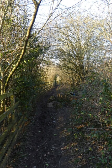
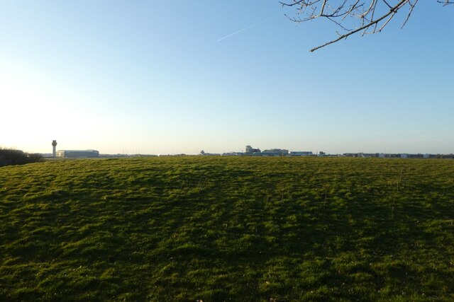
Moss Nook Images
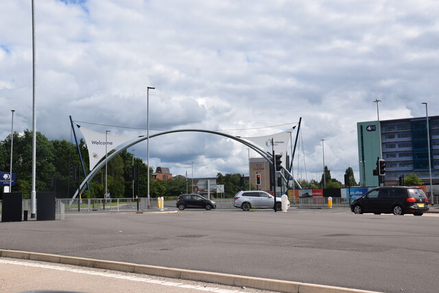
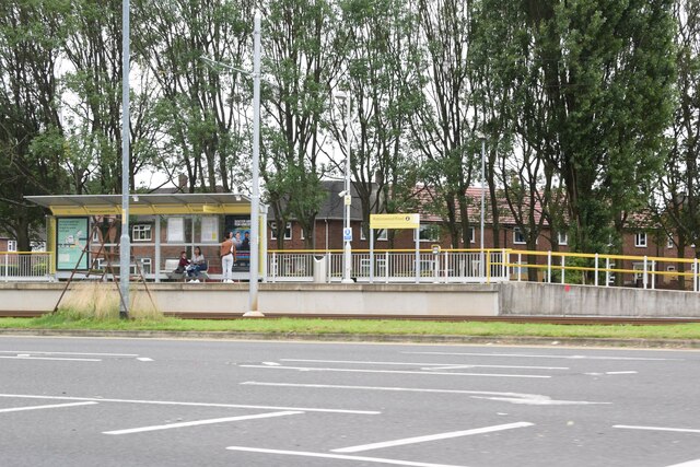
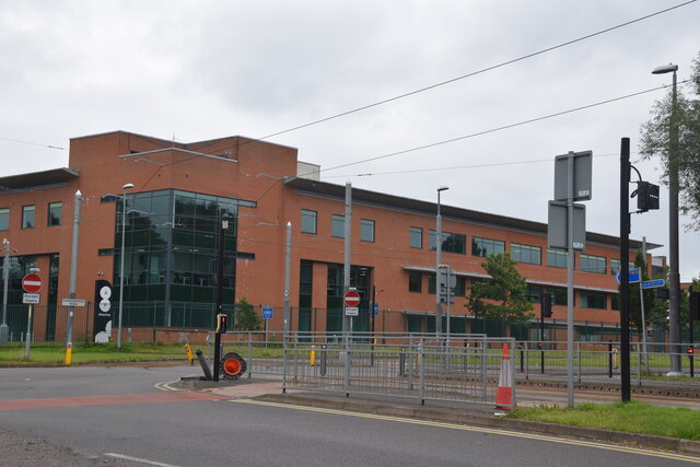
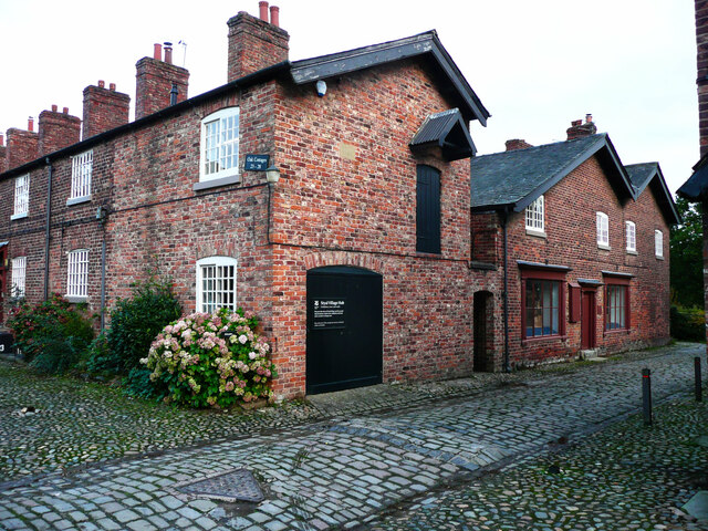
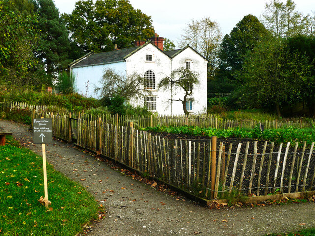
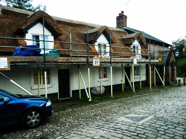
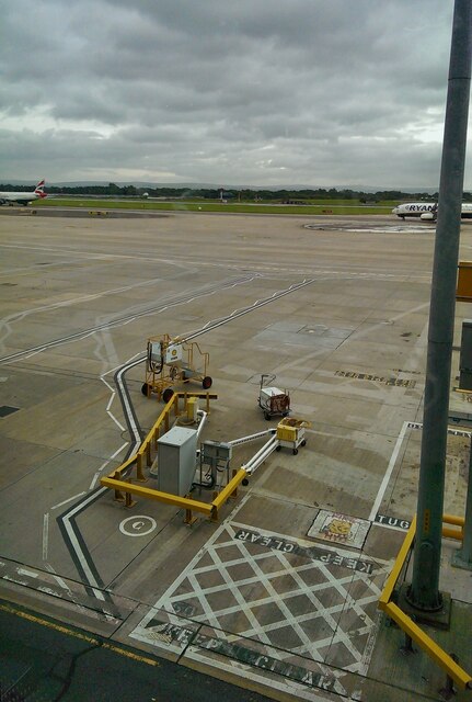
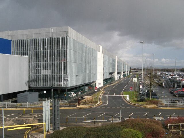
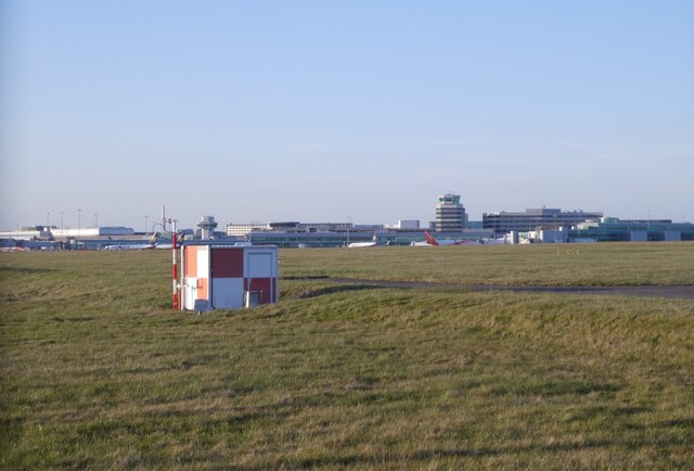
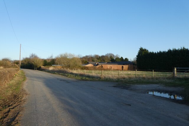
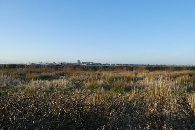
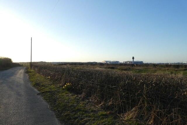
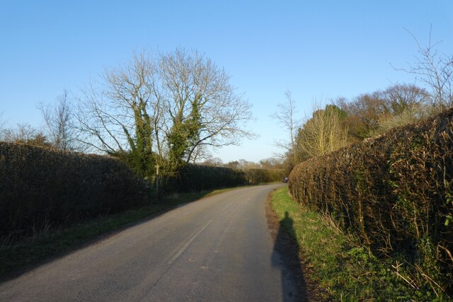
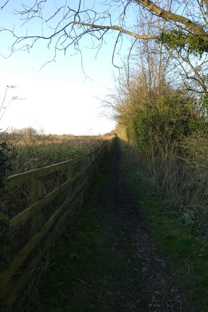
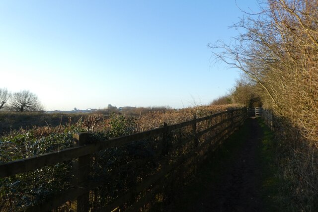
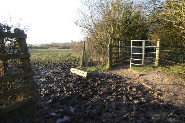
Images are sourced within 2km of 53.362508/-2.246408 or Grid Reference SJ8385. Thanks to Geograph Open Source API. All images are credited.
Moss Nook is located at Grid Ref: SJ8385 (Lat: 53.362508, Lng: -2.246408)
Unitary Authority: Manchester
Police Authority: Greater Manchester
What 3 Words
///aside.fails.bulb. Near Ringway, Manchester
Nearby Locations
Related Wikis

British European Airways Flight 411
British European Airways Flight 411 crashed on approach to Manchester Airport after a flight from Amsterdam Schiphol International Airport on 14 March...

Shadowmoss tram stop
Shadowmoss is a tram stop on the Airport Line of the Manchester Metrolink which opened on 3 November 2014.The stop is one of the least used on the Metrolink...
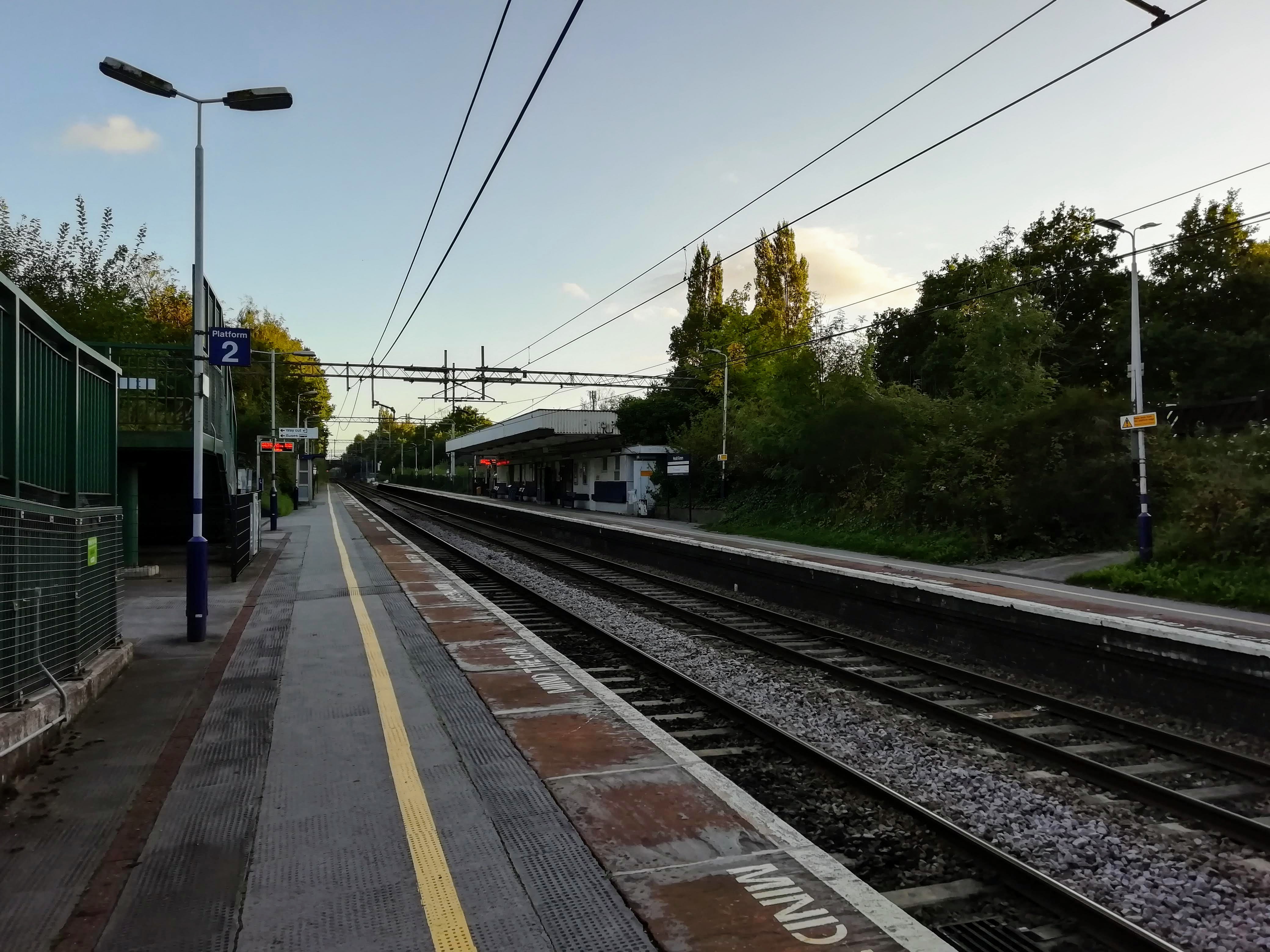
Heald Green railway station
Heald Green railway station serves the suburb of Heald Green in Stockport, Greater Manchester, England. The station is on the Styal Line, opened in 1909...

1951 Ringway Dakota crash
On 27 March 1951 a Douglas Dakota 3 cargo aircraft registered G-AJVZ operated by Air Transport Charter en route from Ringway Airport, Manchester, England...
Nearby Amenities
Located within 500m of 53.362508,-2.246408Have you been to Moss Nook?
Leave your review of Moss Nook below (or comments, questions and feedback).