Moseley
Settlement in Worcestershire
England
Moseley
Moseley is a small suburban area located in the county of Worcestershire, England. Situated approximately three miles south of the city center of Birmingham, it is a popular residential area known for its vibrant community and convenient proximity to urban amenities.
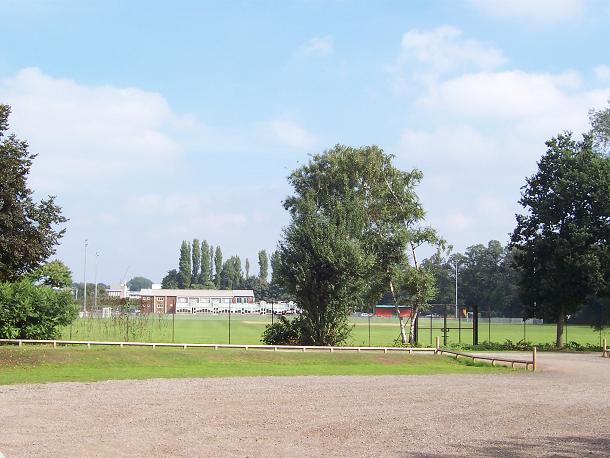
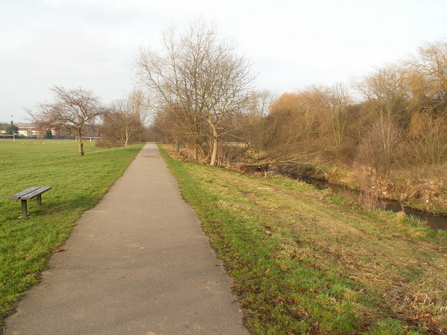
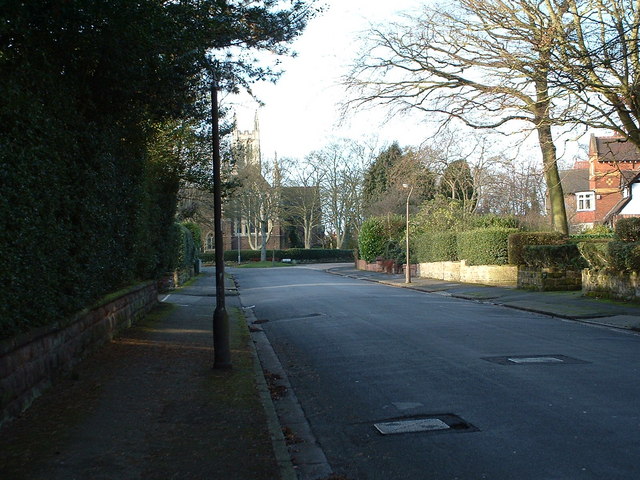
The area of Moseley boasts a rich history, with evidence of settlement dating back to the Iron Age. Today, it is a diverse and multicultural neighborhood, offering a mix of Victorian and Edwardian architecture alongside modern developments. The tree-lined streets and green spaces contribute to the area's pleasant atmosphere.
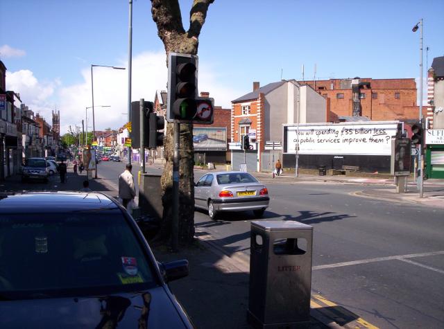
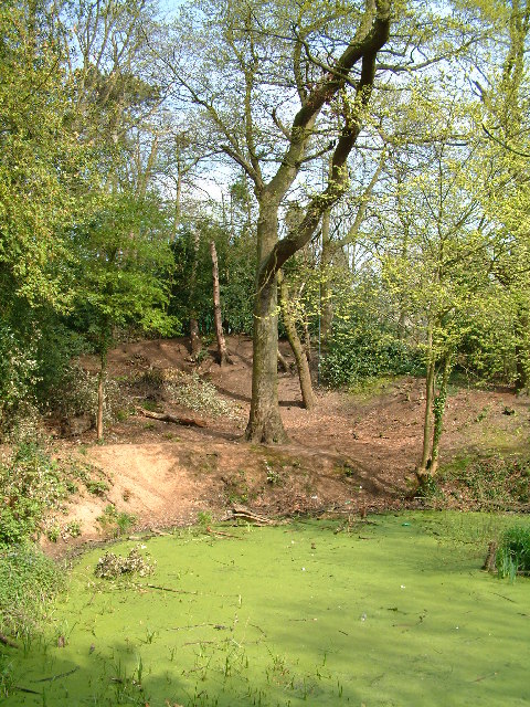
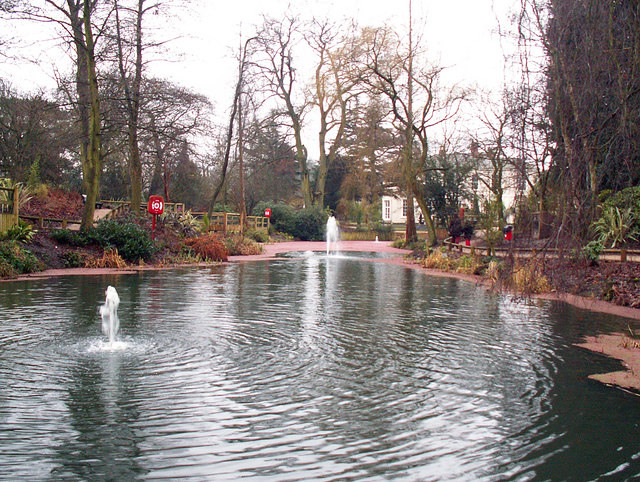
Moseley is renowned for its lively high street, which offers a range of independent shops, cafes, restaurants, and pubs. The area hosts a monthly farmers' market, attracting locals and visitors alike with a variety of fresh produce, artisanal goods, and street food. Additionally, Moseley Park and Pool, a picturesque parkland, provides a tranquil escape from the bustling city life.
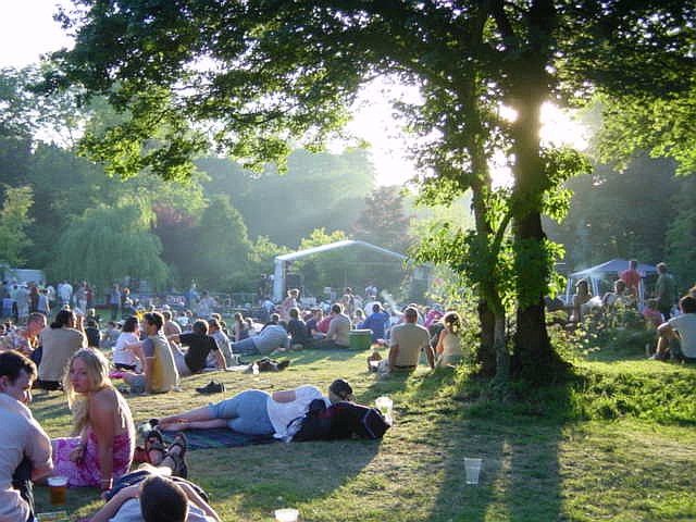
The community spirit in Moseley is particularly notable, with several annual events bringing people together. The Moseley Folk Festival, held in Moseley Park, is a popular music event that attracts renowned artists and music lovers from across the country. The community also organizes the Moseley Street Market and the Moseley Festival, showcasing local talent, arts, and crafts.
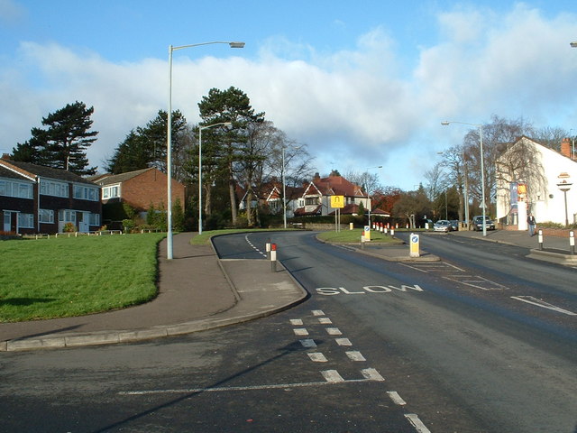
Transport links in Moseley are excellent, with regular bus services connecting the area to Birmingham city center and surrounding areas. The nearby Moseley Train Station provides convenient access to other parts of Worcestershire and the wider West Midlands region.
Overall, Moseley offers a unique blend of history, community spirit, and modern amenities, making it an attractive place to live and visit in Worcestershire.
If you have any feedback on the listing, please let us know in the comments section below.
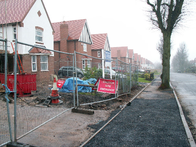
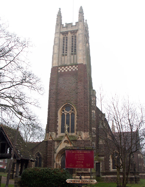
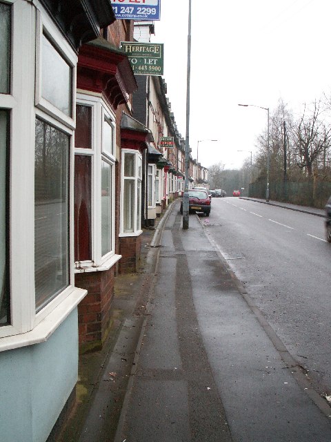
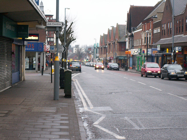
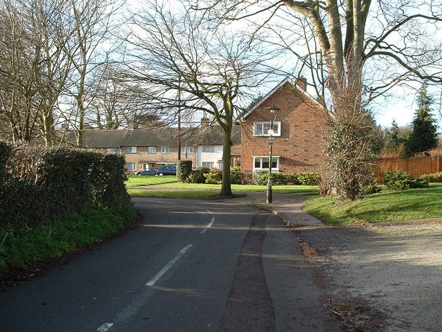
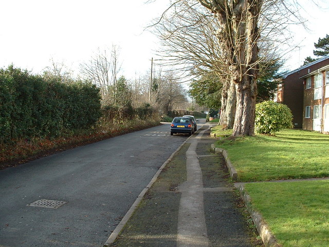
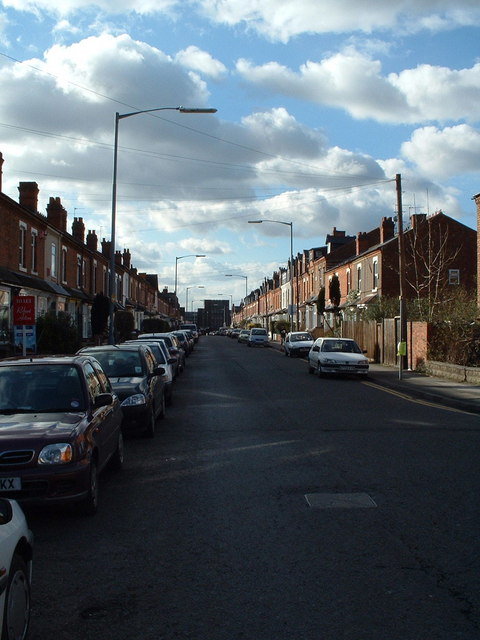
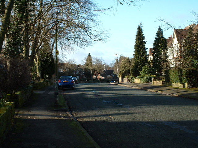
Moseley Images
Images are sourced within 2km of 52.441912/-1.885658 or Grid Reference SP0782. Thanks to Geograph Open Source API. All images are credited.


Moseley is located at Grid Ref: SP0782 (Lat: 52.441912, Lng: -1.885658)
Unitary Authority: Birmingham
Police Authority: West Midlands
What 3 Words
///wiser.slices.plug. Near Birmingham, West Midlands
Nearby Locations
Related Wikis

King David School, Birmingham
The King David School, of Birmingham, England was founded in 1843 as the Birmingham Hebrew School, an infants and primary Jewish day school. Students learn...

Moseley Village railway station
Moseley Village railway station is a railway station under construction in Moseley, Birmingham. It was first opened in 1867 and closed in 1941. == History... ==
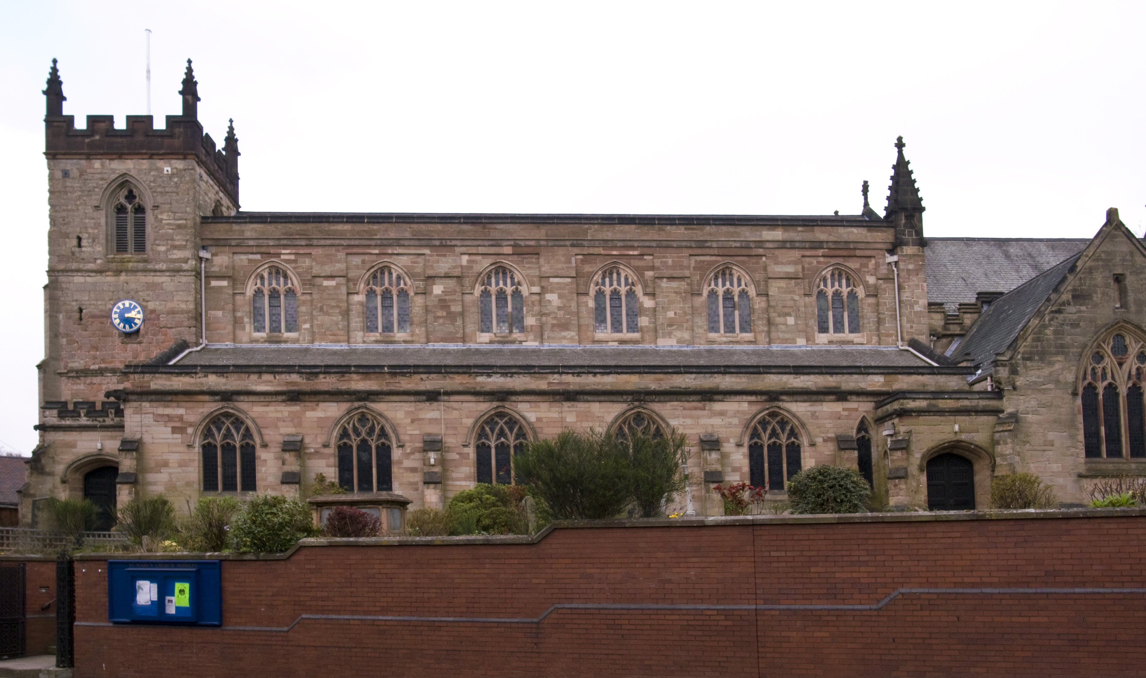
St Mary's Church, Moseley
St Mary's Church, Moseley is a Grade II listed parish church in the Church of England located in Moseley, Birmingham. It is now part of a united benefice...

Fighting Cocks, Moseley
The Fighting Cocks is a Grade II listed public house in Moseley, Birmingham, England. == History == The public house by this name in Moseley was first...
Nearby Amenities
Located within 500m of 52.441912,-1.885658Have you been to Moseley?
Leave your review of Moseley below (or comments, questions and feedback).