Moses Gate
Settlement in Lancashire
England
Moses Gate

Moses Gate is a small area located in the town of Farnworth in Lancashire, England. It is known for its picturesque landscapes and peaceful surroundings, making it a popular destination for nature lovers and outdoor enthusiasts.
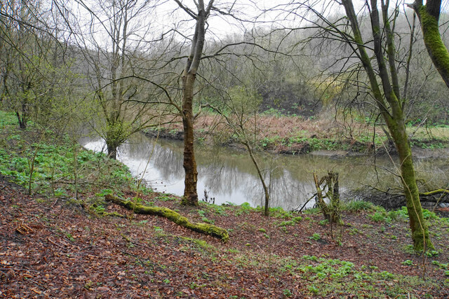
The area is home to Moses Gate Country Park, which covers over 750 acres of green space and includes a variety of walking and cycling trails, picnic areas, and wildlife habitats. The park is situated along the River Croal and offers stunning views of the surrounding countryside.
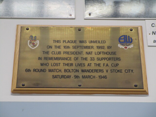
Moses Gate is also known for its historic significance, with the Grade II listed Moses Gate railway station serving as a reminder of the area's industrial past. The station was built in the mid-19th century and played a key role in the transportation of goods and passengers in the region.
In addition to its natural beauty and historical landmarks, Moses Gate offers a range of amenities for visitors, including cafes, shops, and other recreational facilities. Overall, Moses Gate is a charming and tranquil destination that showcases the best of Lancashire's countryside.
If you have any feedback on the listing, please let us know in the comments section below.
Moses Gate Images
Images are sourced within 2km of 53.553996/-2.401485 or Grid Reference SD7306. Thanks to Geograph Open Source API. All images are credited.


Moses Gate is located at Grid Ref: SD7306 (Lat: 53.553996, Lng: -2.401485)
Unitary Authority: Bolton
Police Authority: Greater Manchester
What 3 Words
///jacket.spoon.stamp. Near Farnworth, Manchester
Nearby Locations
Related Wikis

Moses Gate
Moses Gate is a small district of Farnworth, in the Metropolitan Borough of Bolton, Greater Manchester, England. Historically in Lancashire, it lies 2...
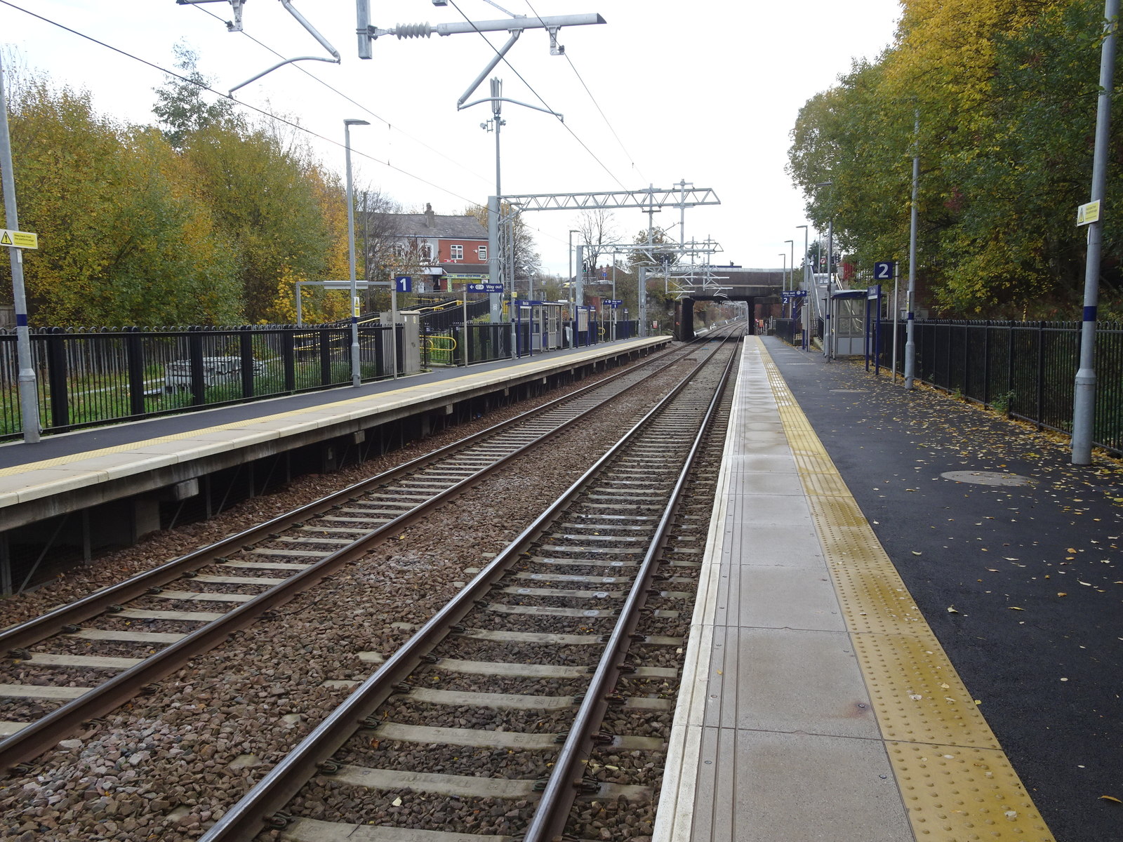
Moses Gate railway station
Moses Gate railway station serves the Moses Gate suburb of Farnworth in the Metropolitan Borough of Bolton, Greater Manchester, North West England. It...
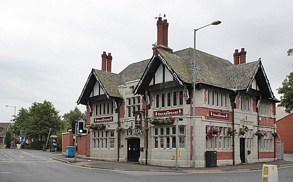
The Shakespeare, Farnworth
The Shakespeare is a Grade II listed public house at 1 Glynne Street, Farnworth, Greater Manchester BL4 7DN.It is on the Campaign for Real Ale's National...

Farnworth Town Hall
Farnworth Town Hall is a municipal building in Market Street, Farnworth, Greater Manchester, England. The town hall, which was the headquarters of Farnworth...
Nearby Amenities
Located within 500m of 53.553996,-2.401485Have you been to Moses Gate?
Leave your review of Moses Gate below (or comments, questions and feedback).