Moseley

Settlement in Worcestershire Malvern Hills

England

Moseley

Footpath to Greenstreet Farm Footpath through an arable field to Greenstreet Farm to the south-east of Wichenford.
Footpath to Greenstreet Farm Credit: Philip Halling

Moseley is a charming suburban area located in Worcestershire, England. Situated approximately three miles south of the city of Birmingham, it forms part of the larger metropolitan area. With a population of around 15,000 residents, Moseley boasts a vibrant community and a rich history.

The area is known for its leafy streets, stunning Victorian and Edwardian architecture, and a diverse range of housing options. From large period homes to modern apartments, Moseley offers a variety of living arrangements to suit different tastes and lifestyles.

Moseley's bustling high street is a hub of activity, filled with independent shops, cafes, and restaurants. It is renowned for its eclectic mix of businesses, ranging from vintage clothing boutiques to organic food stores. The area also hosts a popular farmers' market, where locals can purchase fresh produce and artisanal goods.

Green spaces are plentiful in Moseley, with the beautiful Moseley Park and Pool providing a tranquil retreat. This picturesque parkland offers walking trails, tennis courts, and a stunning lake, making it a popular spot for outdoor activities and relaxation. Additionally, the nearby Highbury Park offers a peaceful escape from the urban environment.

Moseley is known for its vibrant arts and culture scene. The annual Moseley Folk Festival attracts musicians and visitors from across the country, while the Prince of Wales pub hosts regular live music events. The area also boasts several art galleries and theaters, providing a platform for local artists and performers.

Overall, Moseley offers a unique blend of history, community spirit, and cultural vibrancy, making it an attractive place to live or visit in Worcestershire.

If you have any feedback on the listing, please let us know in the comments section below.
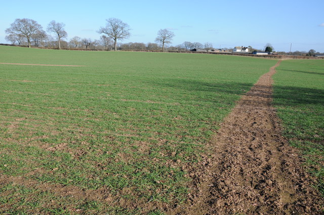
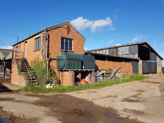
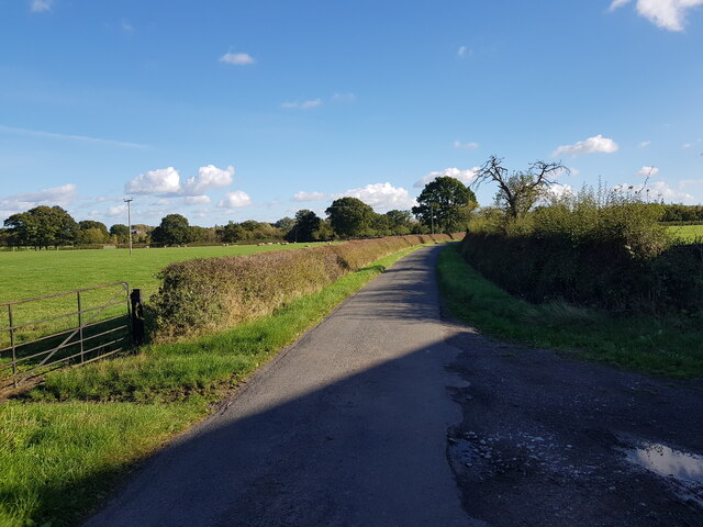
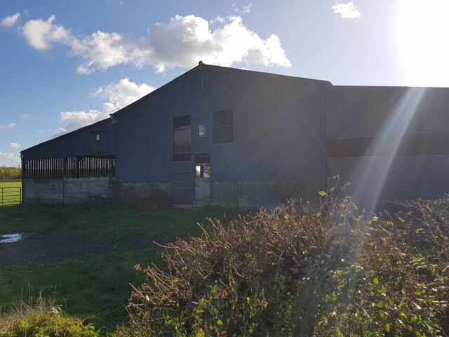
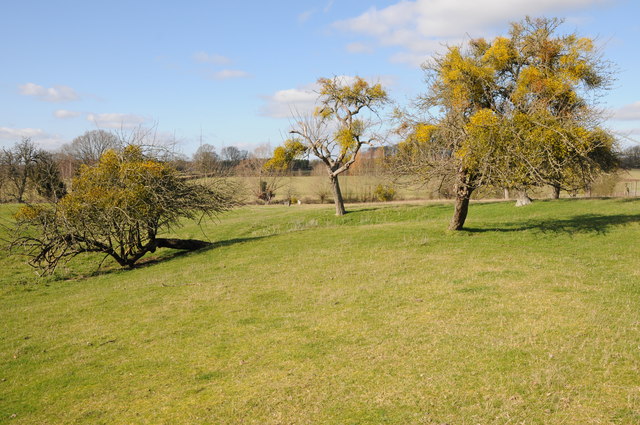
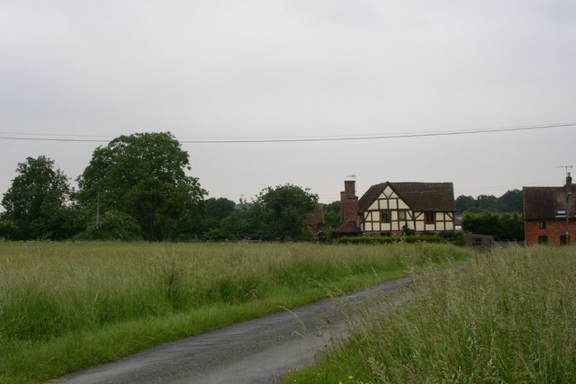
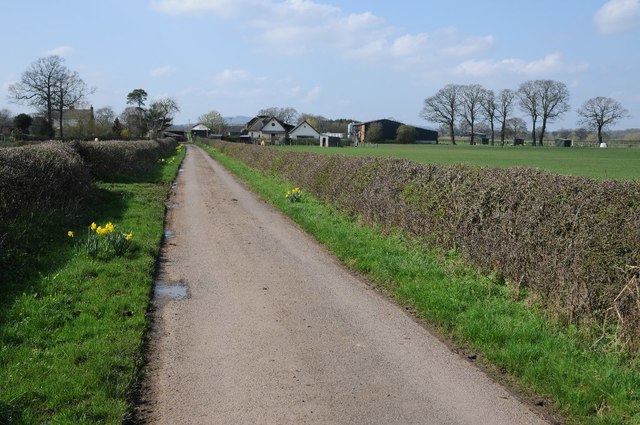
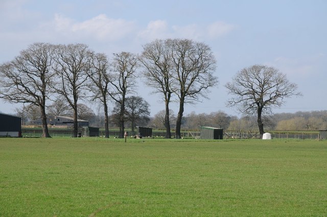
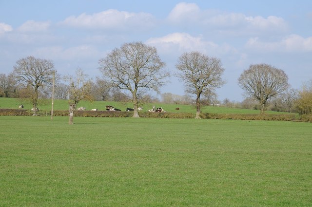
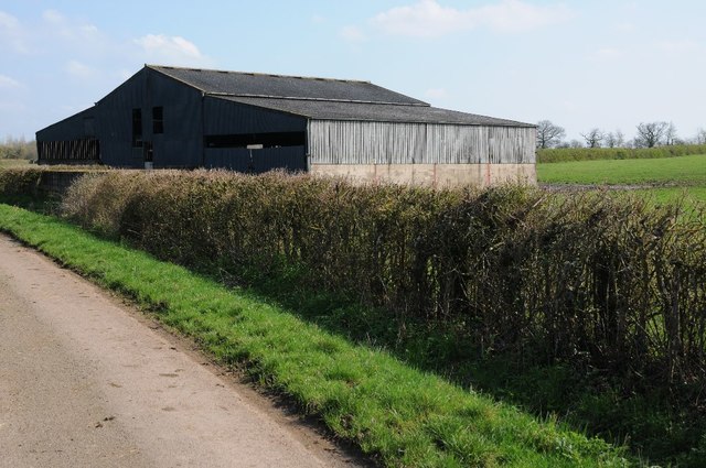
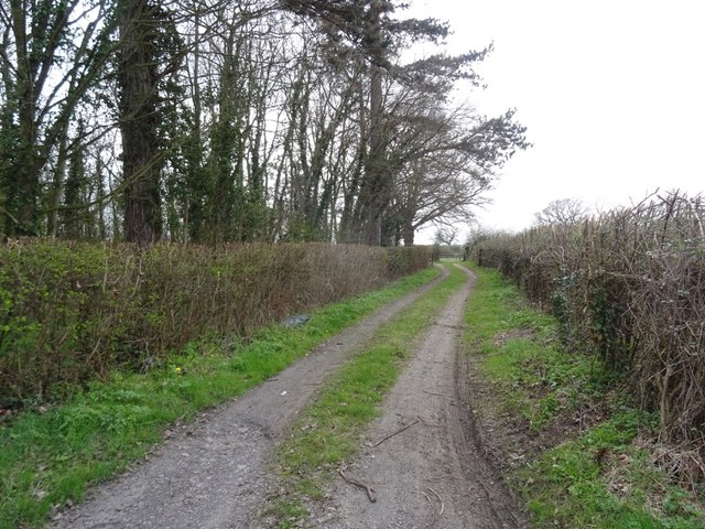
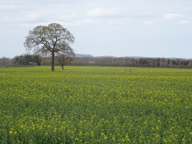
Moseley Images

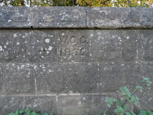
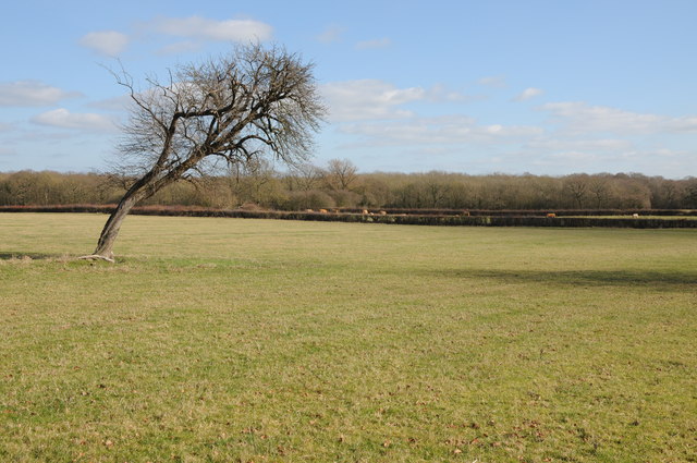
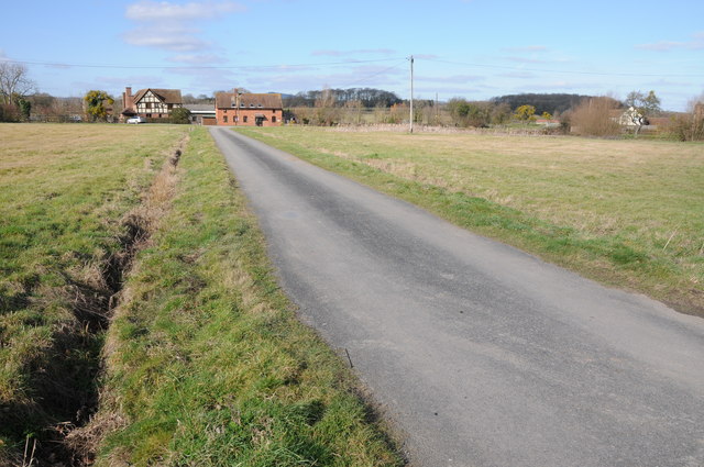
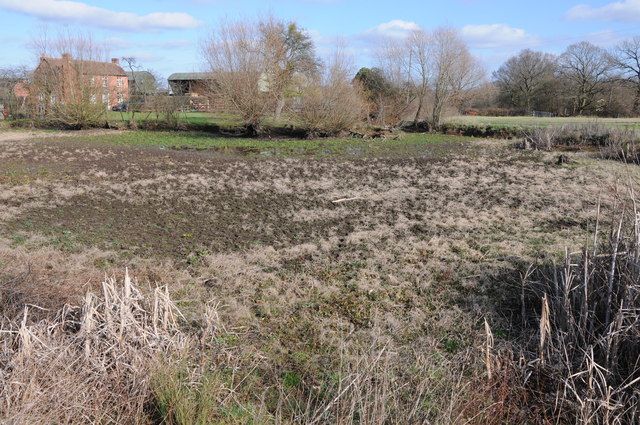
Images are sourced within 2km of 52.232434/-2.278173 or Grid Reference SO8159. Thanks to Geograph Open Source API. All images are credited.

Footpath to Greenstreet Farm Footpath through an arable field to Greenstreet Farm to the south-east of Wichenford.
Footpath to Greenstreet Farm
Footpath through an arable field to Greenstreet Farm to the south-east of Wichenford.
Greenstreet Farm, Hallow, Worcestershire
Shoulton Lane near Greenstreet Farm
Barn on Shoulton Lane near Greenstreet Farm
Old Bridge Marker on the B4204 in Kenswick parish Bridge Marker inscribed in the south parapet of Kenswick Bridge on Laughern Brook, on the B4204. Kenswick parish.

Milestone Society National ID: WO_KENSW01br
Old Bridge Marker on the B4204 in Kenswick parish
Bridge Marker inscribed in the south parapet of Kenswick Bridge on Laughern Brook, on the B4204. Kenswick parish. Milestone Society National ID: WO_KENSW01br
Tree with a lean A tree with a 45 degree lean beside a footpath to the north-east of Wichenford.
Tree with a lean
A tree with a 45 degree lean beside a footpath to the north-east of Wichenford.
Houses overlooking Monkwood Green Road crossing Monkwood Green.  The wooded Woodbury Hill is just visible beyond the red-brick house.
Houses overlooking Monkwood Green
Road crossing Monkwood Green. The wooded Woodbury Hill is just visible beyond the red-brick house.
Semi-dried up pond Semi-dried up pond at Monkwood Green with Green Farm in the background.
Semi-dried up pond
Semi-dried up pond at Monkwood Green with Green Farm in the background.
Mistletoe-laden trees Mistletoe-laden trees at Monkwood Green.
Mistletoe-laden trees
Mistletoe-laden trees at Monkwood Green.
Whitehouse Farm One of a run of properties seemingly running along the western boundary of Monkwood Common
Whitehouse Farm
One of a run of properties seemingly running along the western boundary of Monkwood Common
Fields of Whitehouse Farm
Lane to Wichenford The trees don't quite form a tunnel in 2008, but give them another five years.
Lane to Wichenford
The trees don't quite form a tunnel in 2008, but give them another five years.
Greenstreet Farm No through road approaching Greenstreet Farm to the west of Shoulton.
Greenstreet Farm
No through road approaching Greenstreet Farm to the west of Shoulton.
Trees beside Greenstreet Farm The middle of April and these trees are still bare due to the very cold spring so far.
Trees beside Greenstreet Farm
The middle of April and these trees are still bare due to the very cold spring so far.
Trees and cattle Trees in a hedgerow with cattle in a field beyond.  Viewed from Greenstreet Lane.
Trees and cattle
Trees in a hedgerow with cattle in a field beyond. Viewed from Greenstreet Lane.
Barn beside Greenstreet Lane
Farm road near Kenswick Mill Field access.
Farm road near Kenswick Mill
Field access.
Oilseed rape, Kenswick Flowers appearing early this year, it was the last day of March.
Oilseed rape, Kenswick
Flowers appearing early this year, it was the last day of March.
Show me another place!

Moseley is located at Grid Ref: SO8159 (Lat: 52.232434, Lng: -2.278173)

Administrative County: Worcestershire

District: Malvern Hills

Police Authority: West Mercia

What 3 Words

///blanked.trickled.kebab. Near Hallow, Worcestershire

Nearby Locations

Moseley Worlds End

Related Wikis

Hallow, Worcestershire

Hallow is a village and civil parish beside the River Severn, about 2 miles (3.2 km) north-west of Worcester in Worcestershire. The village is on the A443...

Kenswick, Worcestershire

Kenswick is a village and civil parish (with Wichenford) in the Malvern Hills District in the county of Worcestershire, England. == External links... ==

Lower Broadheath

Lower Broadheath is a village and civil parish in the Malvern Hills district of Worcestershire, England. According to the 2011 census it had a population...

Wichenford

Wichenford is a village and civil parish (with Kenswick) in the Malvern Hills District in the county of Worcestershire, England. It lies 7 miles (11km...

Nearby Amenities

Located within 500m of 52.232434,-2.278173
Moseley
Place: hamlet
Lat/Long: 52.2330066/-2.2770428
Power: tower
Lat/Long: 52.2356811/-2.2759576
Power: tower
Lat/Long: 52.2330971/-2.2741921
Power: tower
Lat/Long: 52.2309184/-2.2727036
Barrier: kissing_gate
Foot: yes
Lat/Long: 52.2352306/-2.2771641
Power: pole
Lat/Long: 52.2359344/-2.2746339
Power: pole
Lat/Long: 52.2281666/-2.2759134
Power: pole
Lat/Long: 52.2288213/-2.2758141
Location Transition: yes
Power: pole
Lat/Long: 52.2290299/-2.2747734
Location Transition: yes
Power: pole
Lat/Long: 52.2306917/-2.2729307
Moseley
Location Transition: yes
Power: pole
Transformer: distribution
Voltage Primary: 11000
Lat/Long: 52.2320252/-2.2724164
Location Transition: yes
Power: pole
Lat/Long: 52.2313997/-2.2734042
Power: pole
Lat/Long: 52.2321135/-2.2738735
Power: pole
Lat/Long: 52.2328544/-2.2743617
Moseley Lane North
Power: pole
Transformer: distribution
Voltage Primary: 11000
Lat/Long: 52.2334318/-2.2747506
Moseley North
Power: pole
Transformer: distribution
Voltage Primary: 11000
Lat/Long: 52.2340306/-2.2720416
Power: pole
Lat/Long: 52.2340811/-2.2741022
Power: pole
Lat/Long: 52.2338679/-2.2729348
Power: pole
Lat/Long: 52.2343032/-2.2753072
Power: pole
Lat/Long: 52.2349956/-2.2757632
Power: pole
Lat/Long: 52.235665/-2.276195
Holywards Farm
Power: pole
Transformer: distribution
Voltage Primary: 11000
Lat/Long: 52.2351246/-2.2785848
Power: pole
Lat/Long: 52.2348166/-2.2797892
Moseley Farm
Power: pole
Transformer: distribution
Voltage Primary: 11000
Lat/Long: 52.2331796/-2.2781034
Power: pole
Lat/Long: 52.2330794/-2.2785862
Power: pole
Lat/Long: 52.2329447/-2.2791843
Foxfields
Power: pole
Transformer: distribution
Voltage Primary: 11000
Lat/Long: 52.2337094/-2.2802465
Power: pole
Lat/Long: 52.2346088/-2.2805891
Power: pole
Lat/Long: 52.2342803/-2.2818343
Power: pole
Lat/Long: 52.2339435/-2.28315
Power: pole
Lat/Long: 52.2336187/-2.2844139
Power: pole
Lat/Long: 52.2354728/-2.2772518
The data included in this document is from www.openstreetmap.org. The data is made available under ODbL.

Have you been to Moseley?

Leave your review of Moseley below (or comments, questions and feedback).