Worlds End

Settlement in Worcestershire Malvern Hills

England

Worlds End

Greenstreet Farm, Hallow, Worcestershire
Greenstreet Farm, Hallow, Worcestershire Credit: Jeff Gogarty

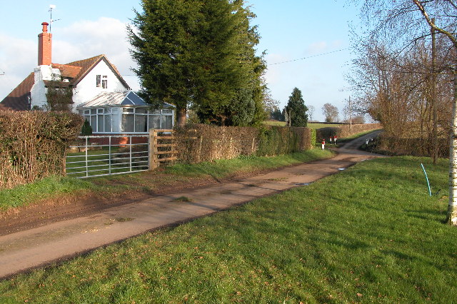
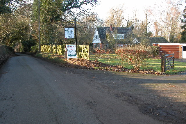
Worlds End is a small village located in the county of Worcestershire, England. Situated approximately 5 miles southwest of the town of Worcester, it falls within the administrative district of Wychavon. With a population of around 500 residents, Worlds End boasts a tight-knit community that contributes to its charming and welcoming atmosphere.

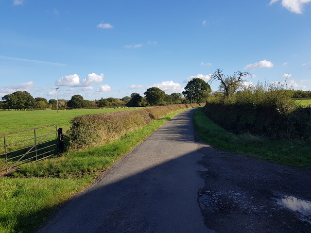
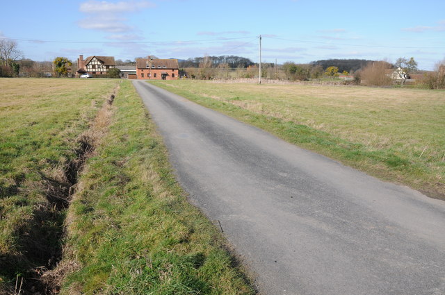
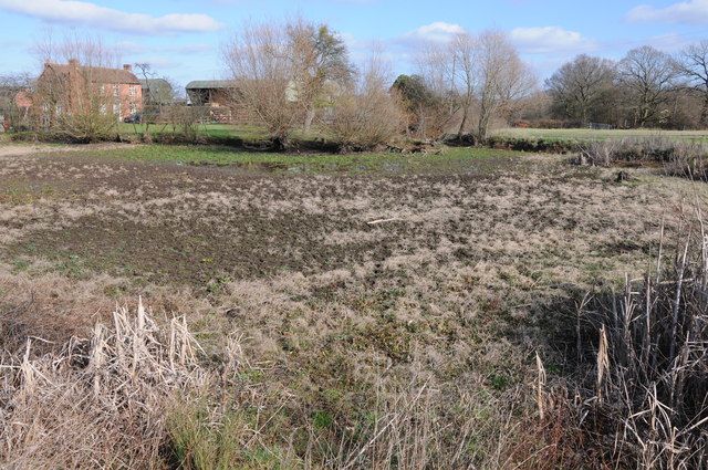
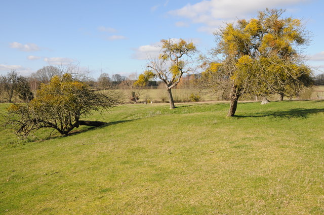
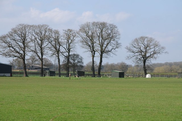
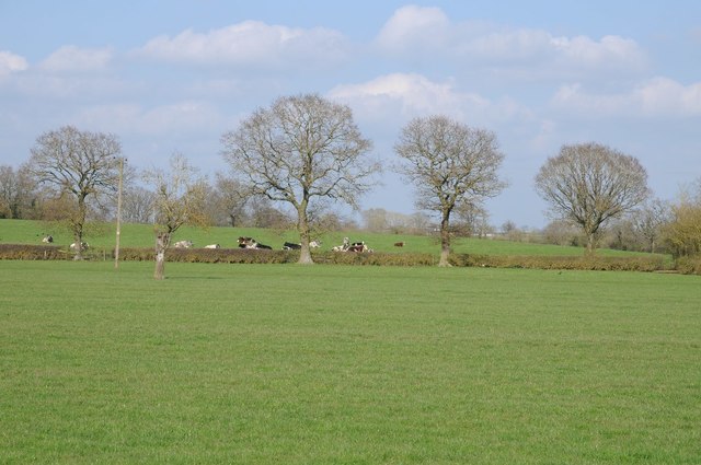
The village is surrounded by picturesque countryside, with rolling hills and fields offering breathtaking views. Its rural setting makes it an ideal destination for outdoor enthusiasts, who can enjoy activities such as hiking, cycling, and horseback riding in the nearby Malvern Hills Area of Outstanding Natural Beauty.

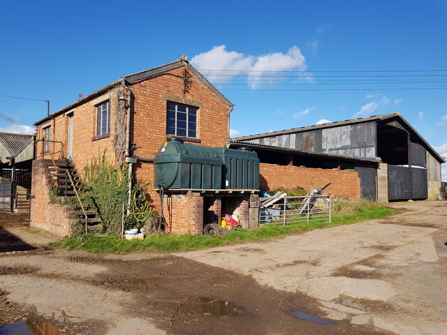
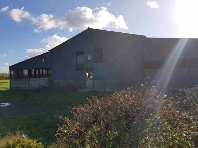
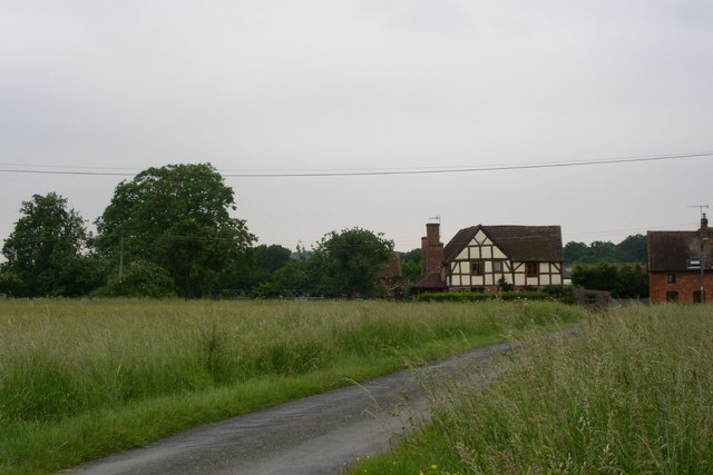
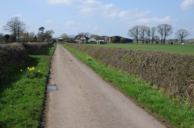
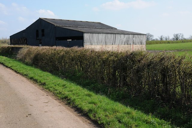
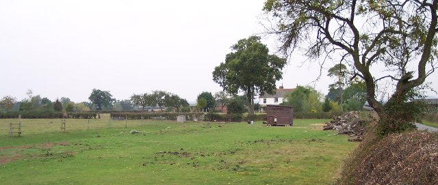
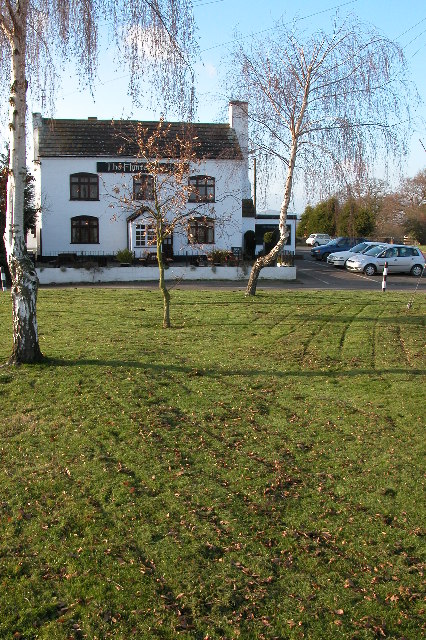
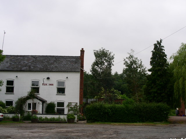
Worlds End is primarily a residential area, characterized by a mix of traditional cottages and modern houses. The village is equipped with basic amenities, including a pub, a village hall, and a small convenience store, ensuring that residents have access to necessary services without needing to travel far.

Although Worlds End may be relatively small, it benefits from its proximity to larger towns and cities. Worcester, with its historic cathedral, vibrant shopping center, and variety of cultural attractions, is easily accessible for residents seeking a wider range of amenities. Additionally, the village benefits from good transportation links, with road connections to Worcester and nearby towns, as well as regular bus services.

Worlds End, Worcestershire, provides a tranquil and idyllic setting for those seeking a peaceful rural lifestyle, while still being within reach of larger urban centers.

If you have any feedback on the listing, please let us know in the comments section below.
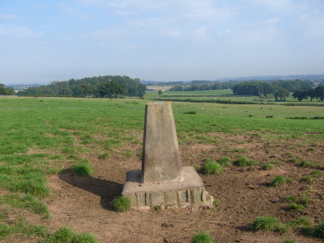
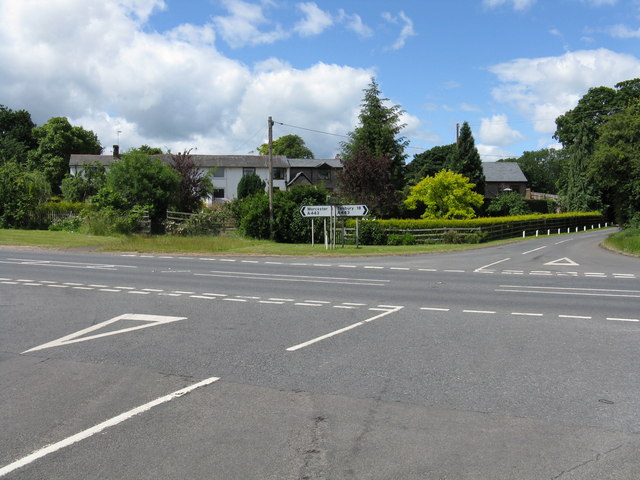
Worlds End Images

Images are sourced within 2km of 52.23587/-2.2727138 or Grid Reference SO8159. Thanks to Geograph Open Source API. All images are credited.

Greenstreet Farm, Hallow, Worcestershire
Shoulton Lane near Greenstreet Farm
Barn on Shoulton Lane near Greenstreet Farm
Houses overlooking Monkwood Green Road crossing Monkwood Green.  The wooded Woodbury Hill is just visible beyond the red-brick house.
Houses overlooking Monkwood Green
Road crossing Monkwood Green. The wooded Woodbury Hill is just visible beyond the red-brick house.
Semi-dried up pond Semi-dried up pond at Monkwood Green with Green Farm in the background.
Semi-dried up pond
Semi-dried up pond at Monkwood Green with Green Farm in the background.
Mistletoe-laden trees Mistletoe-laden trees at Monkwood Green.
Mistletoe-laden trees
Mistletoe-laden trees at Monkwood Green.
Whitehouse Farm One of a run of properties seemingly running along the western boundary of Monkwood Common
Whitehouse Farm
One of a run of properties seemingly running along the western boundary of Monkwood Common
Greenstreet Farm No through road approaching Greenstreet Farm to the west of Shoulton.
Greenstreet Farm
No through road approaching Greenstreet Farm to the west of Shoulton.
Trees beside Greenstreet Farm The middle of April and these trees are still bare due to the very cold spring so far.
Trees beside Greenstreet Farm
The middle of April and these trees are still bare due to the very cold spring so far.
Trees and cattle Trees in a hedgerow with cattle in a field beyond.  Viewed from Greenstreet Lane.
Trees and cattle
Trees in a hedgerow with cattle in a field beyond. Viewed from Greenstreet Lane.
Barn beside Greenstreet Lane
Greenstreet Farm Looking NW. Free range hens with a large field still manage to escape into the road.
Greenstreet Farm
Looking NW. Free range hens with a large field still manage to escape into the road.
Birchall Green Birchall Green is a small green island within a road junction, two of the lanes leading off the junction are no through roads.
Birchall Green
Birchall Green is a small green island within a road junction, two of the lanes leading off the junction are no through roads.
The Hunter's Lodge, Oakhall Green The Hunter's Lodge overlooks a small green near the village of Sinton Green.
The Hunter's Lodge, Oakhall Green
The Hunter's Lodge overlooks a small green near the village of Sinton Green.
Cosy Cats Cattery The cattery is on Dark Lane to Sinton Green.
Cosy Cats Cattery
The cattery is on Dark Lane to Sinton Green.
The Fox Inn the modest pub on Monkwood Green This must be a local's local it is so unassuming, serving a scattered community around this stretch of common land.
The Fox Inn the modest pub on Monkwood Green
This must be a local's local it is so unassuming, serving a scattered community around this stretch of common land.
Old Hill Farm trig
Old Hill Farm trig
A443 - Sinton Green crossroads Seen from the road to Grimley.
A443 - Sinton Green crossroads
Seen from the road to Grimley.
Show me another place!

Worlds End is located at Grid Ref: SO8159 (Lat: 52.23587, Lng: -2.2727138)

Administrative County: Worcestershire

District: Malvern Hills

Police Authority: West Merica

What 3 Words

///logged.toxic.chairing. Near Hallow, Worcestershire

Nearby Locations

Worlds End Moseley

Related Wikis

Hallow, Worcestershire

Hallow is a village and civil parish beside the River Severn, about 2 miles (3.2 km) north-west of Worcester in Worcestershire. The village is on the A443...

Grimley, Worcestershire

Grimley is a village and civil parish (grid reference SO8360) in the Malvern Hills District in the county of Worcestershire, England about 3 miles (4...

1 and 2 Tai Cochion

1 and 2 Tai Cochion consists of a pair of joined cottages in the village of Nannerch, Flintshire, Wales. Each of the cottages is designated by Cadw as...

River Salwarpe

The River Salwarpe is a 20.4 miles (32.8 km) long river in Worcestershire, England. It is a left bank tributary of the River Severn, which it joins near...

Nearby Amenities

Located within 500m of 52.23587,-2.2727138
Post Box
Collection Times: Mo-Fr 17:30; Sa 09:30
Post Box Type: lamp
Ref: WR2 61
Royal Cypher: EIIR
Royal Cypher Wikidata: Q33102113
Lat/Long: 52.2331212/-2.2690767
Moseley
Place: hamlet
Lat/Long: 52.2330066/-2.2770428
Power: tower
Lat/Long: 52.238265/-2.2777231
Power: tower
Lat/Long: 52.2356811/-2.2759576
Power: tower
Lat/Long: 52.2330971/-2.2741921
Barrier: stile
Foot: yes
Lat/Long: 52.2381716/-2.2665755
Barrier: stile
Foot: yes
Lat/Long: 52.2365928/-2.2658255
Barrier: stile
Foot: yes
Lat/Long: 52.2397897/-2.2746622
Barrier: stile
Foot: yes
Lat/Long: 52.2396585/-2.2732363
Barrier: stile
Foot: yes
Lat/Long: 52.2397671/-2.2736205
Barrier: kissing_gate
Foot: yes
Lat/Long: 52.2352306/-2.2771641
Worlds End
Place: hamlet
Lat/Long: 52.2365136/-2.2732831
Power: pole
Lat/Long: 52.2359344/-2.2746339
Moseley
Location Transition: yes
Power: pole
Transformer: distribution
Voltage Primary: 11000
Lat/Long: 52.2320252/-2.2724164
Location Transition: yes
Power: pole
Lat/Long: 52.2313997/-2.2734042
Power: pole
Lat/Long: 52.2321135/-2.2738735
Power: pole
Lat/Long: 52.2328544/-2.2743617
Moseley Lane North
Power: pole
Transformer: distribution
Voltage Primary: 11000
Lat/Long: 52.2334318/-2.2747506
Moseley North
Power: pole
Transformer: distribution
Voltage Primary: 11000
Lat/Long: 52.2340306/-2.2720416
Power: pole
Lat/Long: 52.2340811/-2.2741022
Power: pole
Lat/Long: 52.2338679/-2.2729348
Power: pole
Lat/Long: 52.2343032/-2.2753072
Power: pole
Lat/Long: 52.2349956/-2.2757632
Power: pole
Lat/Long: 52.235665/-2.276195
Holywards Farm
Power: pole
Transformer: distribution
Voltage Primary: 11000
Lat/Long: 52.2351246/-2.2785848
Power: pole
Lat/Long: 52.2348166/-2.2797892
Moseley Farm
Power: pole
Transformer: distribution
Voltage Primary: 11000
Lat/Long: 52.2331796/-2.2781034
Power: pole
Lat/Long: 52.2396026/-2.2728382
Power: pole
Lat/Long: 52.2380582/-2.2663178
Power: pole
Lat/Long: 52.2377035/-2.267675
Power: pole
Lat/Long: 52.2374049/-2.2689483
Sinton Park Farm
Power: pole
Transformer: distribution
Voltage Primary: 11000
Lat/Long: 52.2380209/-2.2693346
Power: pole
Lat/Long: 52.2375671/-2.2696759
Worlds End Sewage Pump Station
Power: pole
Transformer: distribution
Voltage Primary: 11000
Lat/Long: 52.2358638/-2.2715494
Power: pole
Lat/Long: 52.2360831/-2.2700487
Power: pole
Lat/Long: 52.2364658/-2.2702083
Power: pole
Lat/Long: 52.237113/-2.2700132
Power: pole
Lat/Long: 52.2367766/-2.2713
Power: pole
Lat/Long: 52.2364728/-2.2725016
Worlds End
Power: pole
Transformer: distribution
Voltage Primary: 11000
Lat/Long: 52.2361709/-2.2737113
Gorse Meadow
Power: pole
Transformer: distribution
Voltage Primary: 11000
Lat/Long: 52.2390528/-2.2738749
Power: pole
Lat/Long: 52.238969/-2.2752321
Power: pole
Lat/Long: 52.2381198/-2.2750859
Power: pole
Lat/Long: 52.2374029/-2.274933
Power: pole
Lat/Long: 52.2366785/-2.2747815
Power: pole
Lat/Long: 52.2354728/-2.2772518
The data included in this document is from www.openstreetmap.org. The data is made available under ODbL.

Have you been to Worlds End?

Leave your review of Worlds End below (or comments, questions and feedback).