Workhouse Common

Settlement in Norfolk Breckland

England

Workhouse Common

The A11 west at Breckland Lodge island
The A11 west at Breckland Lodge island Credit: Roy Hughes

Workhouse Common is a scenic and historic area located in the county of Norfolk, England. Nestled between the villages of Kenninghall and Banham, this picturesque common covers an area of approximately 40 hectares.

The common is characterized by its lush green landscape, dotted with ancient oak trees and vibrant wildflowers. It is a haven for wildlife enthusiasts, as it serves as a habitat for a variety of bird species, including kestrels, woodpeckers, and owls. The area is also home to a diverse range of flora and fauna, with numerous species of butterflies and small mammals thriving in its natural surroundings.

Steeped in history, Workhouse Common gets its name from the presence of a former workhouse that stood in the vicinity during the 18th and 19th centuries. Today, the workhouse has been demolished, but remnants of its existence can still be found, adding an intriguing element to the area's heritage.

Visitors to Workhouse Common can enjoy leisurely walks along its well-maintained paths, immersing themselves in the peaceful ambiance and taking in the stunning views of the surrounding countryside. The common also offers opportunities for picnicking and nature photography, making it a popular spot for families and nature enthusiasts alike.

Overall, Workhouse Common is a serene and historically significant destination, providing a tranquil escape from the hustle and bustle of modern life. Its natural beauty and rich heritage make it an ideal place to connect with nature and explore Norfolk's fascinating past.

If you have any feedback on the listing, please let us know in the comments section below.

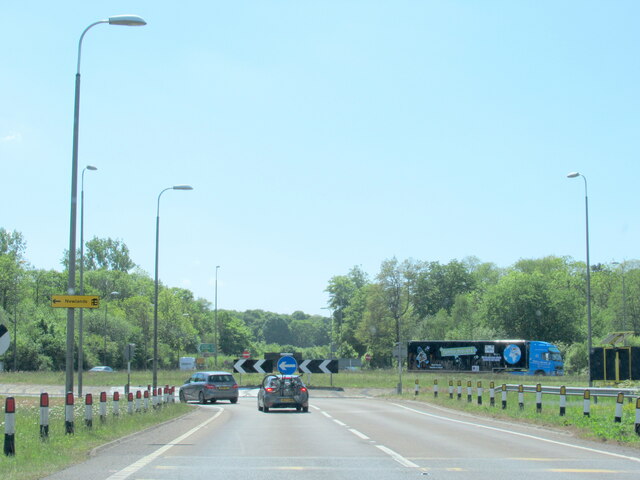
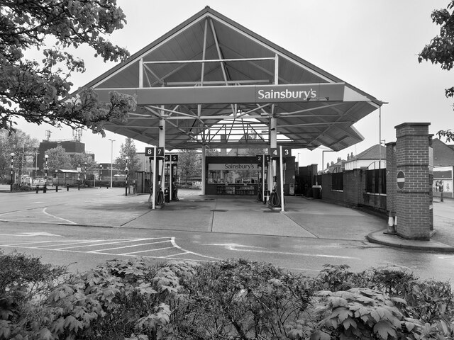
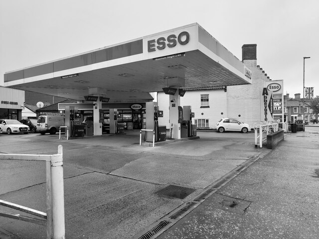
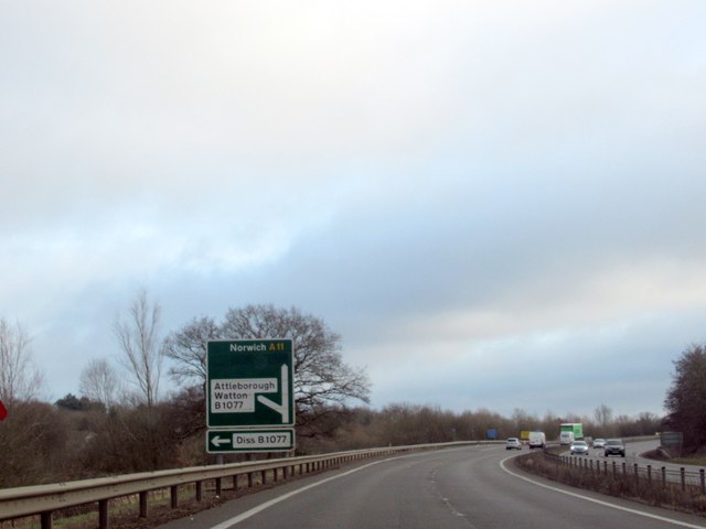
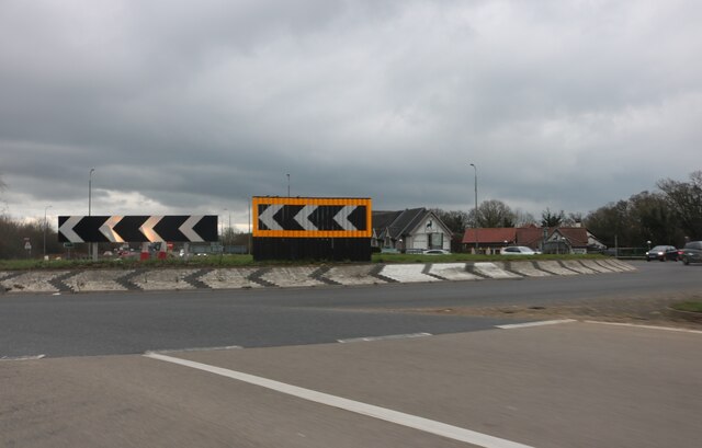
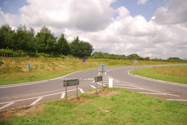
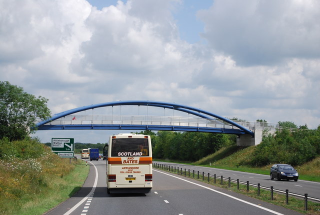
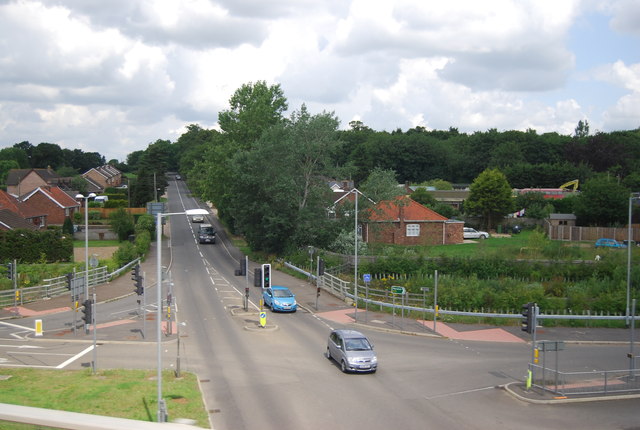
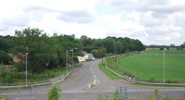
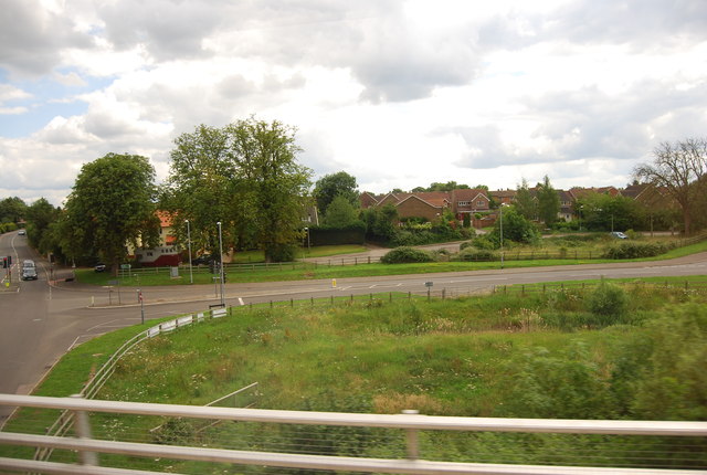
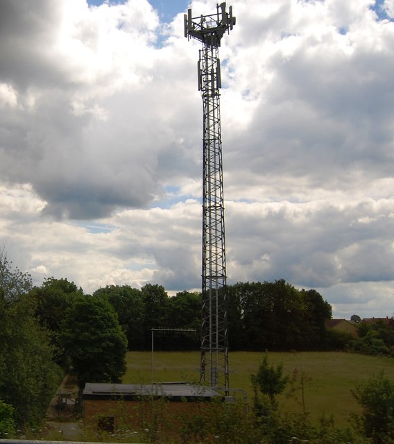
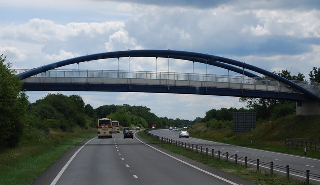
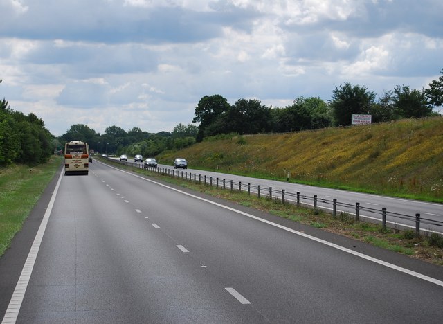
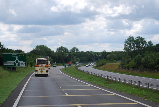
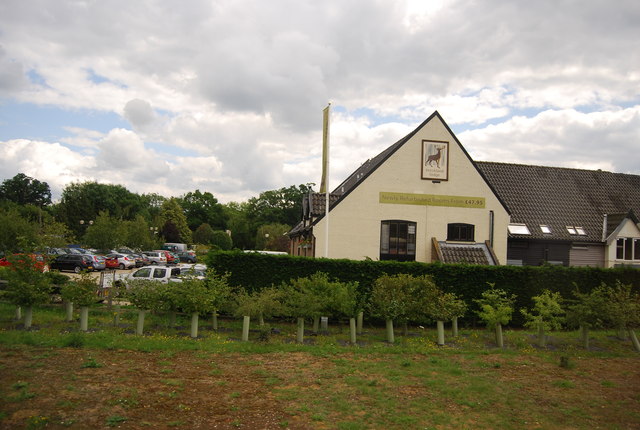
Workhouse Common Images

Images are sourced within 2km of 52.512793/0.9897691 or Grid Reference TM0294. Thanks to Geograph Open Source API. All images are credited.

The A11 west at Breckland Lodge island
Study of a Gasoline Station Sainsbury's, Attleborough.

 This photograph is part of a series taken in homage to the American artist Ed Ruscha's 1963 publication of 'Twentysix Gasoline Stations'.
 More properly known as filling stations in the UK, I am attempting to photograph as many as possible to mark the sixty year anniversary.
Study of a Gasoline Station
Sainsbury's, Attleborough. This photograph is part of a series taken in homage to the American artist Ed Ruscha's 1963 publication of 'Twentysix Gasoline Stations'. More properly known as filling stations in the UK, I am attempting to photograph as many as possible to mark the sixty year anniversary.
Study of a Gasoline Station Esso, Attleborough.

 This photograph is part of a series taken in homage to the American artist Ed Ruscha's 1963 publication of 'Twentysix Gasoline Stations'.
 More properly known as filling stations in the UK, I am attempting to photograph as many as possible to mark the sixty year anniversary.
Study of a Gasoline Station
Esso, Attleborough. This photograph is part of a series taken in homage to the American artist Ed Ruscha's 1963 publication of 'Twentysix Gasoline Stations'. More properly known as filling stations in the UK, I am attempting to photograph as many as possible to mark the sixty year anniversary.
The A11 eastbound approaching junction for the B1077
Roundabout on London Road south of Attleborough
Slip road off the A11, Workhouse Common
Footbridge across the A11
B1077, Attleborough The B1077 is a 57 mile long rural road from Ipswich to Swaffham.
It starts in Ipswich town centre and heads north. It crosses a railway line via a level crossing in Westerfield and then crosses the B1078 near Ashbocking. At Peats Corner it multiplexes west along the A1120 for a short distance before regaining its number and going through Debenham and Eye before crossing the River Waveney into Norfolk and reaching the A1066 on the edge of Diss.
The B1077 continued west from Caston into Watton and thence to Swaffham. During World War II, the road was diverted to Carbrooke Hall as the original road was severed by the building of RAF Watton. The Watton to Swaffham road was declassified in the 1990s.
B1077, Attleborough
The B1077 is a 57 mile long rural road from Ipswich to Swaffham. It starts in Ipswich town centre and heads north. It crosses a railway line via a level crossing in Westerfield and then crosses the B1078 near Ashbocking. At Peats Corner it multiplexes west along the A1120 for a short distance before regaining its number and going through Debenham and Eye before crossing the River Waveney into Norfolk and reaching the A1066 on the edge of Diss. The B1077 continued west from Caston into Watton and thence to Swaffham. During World War II, the road was diverted to Carbrooke Hall as the original road was severed by the building of RAF Watton. The Watton to Swaffham road was declassified in the 1990s.
Deopham Rd, Baconthorpe
Slip road off Queen's Rd
Mast by the A11
Mast by the A11
Footbridge over the A11 The A11 is a major road in Eastern England. It runs roughly north east for 111 miles from London to Norwich, With the M11 opening in the 1970s and then the A12 extension in 1999, a lengthy section has been downgraded between the suburbs of east London and the north-west corner of the county of Essex. It also overlaps with the A14 on the Newmarket bypass.
<span class="nowrap"><a title="http://www.sabre-roads.org.uk/wiki/index.php?title=A11" rel="nofollow ugc noopener" href="http://www.sabre-roads.org.uk/wiki/index.php?title=A11">Link</a><img style="margin-left:2px;" alt="External link" title="External link - shift click to open in new window" src="https://s1.geograph.org.uk/img/external.png" width="10" height="10"/></span>
Footbridge over the A11
The A11 is a major road in Eastern England. It runs roughly north east for 111 miles from London to Norwich, With the M11 opening in the 1970s and then the A12 extension in 1999, a lengthy section has been downgraded between the suburbs of east London and the north-west corner of the county of Essex. It also overlaps with the A14 on the Newmarket bypass. LinkExternal link
The A11 southbound The A11 is a major road in Eastern England. It runs roughly north east for 111 miles from London to Norwich, With the M11 opening in the 1970s and then the A12 extension in 1999, a lengthy section has been downgraded between the suburbs of east London and the north-west corner of the county of Essex. It also overlaps with the A14 on the Newmarket bypass.
<span class="nowrap"><a title="http://www.sabre-roads.org.uk/wiki/index.php?title=A11" rel="nofollow ugc noopener" href="http://www.sabre-roads.org.uk/wiki/index.php?title=A11">Link</a><img style="margin-left:2px;" alt="External link" title="External link - shift click to open in new window" src="https://s1.geograph.org.uk/img/external.png" width="10" height="10"/></span>
The A11 southbound
The A11 is a major road in Eastern England. It runs roughly north east for 111 miles from London to Norwich, With the M11 opening in the 1970s and then the A12 extension in 1999, a lengthy section has been downgraded between the suburbs of east London and the north-west corner of the county of Essex. It also overlaps with the A14 on the Newmarket bypass. LinkExternal link
Approaching a roundabout on the A11 The A11 is a major road in Eastern England. It runs roughly north east for 111 miles from London to Norwich, With the M11 opening in the 1970s and then the A12 extension in 1999, a lengthy section has been downgraded between the suburbs of east London and the north-west corner of the county of Essex. It also overlaps with the A14 on the Newmarket bypass.
<span class="nowrap"><a title="http://www.sabre-roads.org.uk/wiki/index.php?title=A11" rel="nofollow ugc noopener" href="http://www.sabre-roads.org.uk/wiki/index.php?title=A11">Link</a><img style="margin-left:2px;" alt="External link" title="External link - shift click to open in new window" src="https://s1.geograph.org.uk/img/external.png" width="10" height="10"/></span>
Approaching a roundabout on the A11
The A11 is a major road in Eastern England. It runs roughly north east for 111 miles from London to Norwich, With the M11 opening in the 1970s and then the A12 extension in 1999, a lengthy section has been downgraded between the suburbs of east London and the north-west corner of the county of Essex. It also overlaps with the A14 on the Newmarket bypass. LinkExternal link
Breckland Lodge
Breckland Lodge
A11 northbound
A11 northbound
A11 northbound
A11 northbound
A11, roundabout at Buckland Lodge
Show me another place!

Workhouse Common is located at Grid Ref: TM0294 (Lat: 52.512793, Lng: 0.9897691)

Administrative County: Norfolk

District: Breckland

Police Authority: Norfolk

What 3 Words

///tastier.booklets.undertone. Near Attleborough, Norfolk

Nearby Locations

Workhouse Common

Related Wikis

Kingdom of East Anglia

The Kingdom of the East Angles (Old English: Ēastengla Rīċe; Latin: Regnum Orientalium Anglorum), informally known as the Kingdom of East Anglia, was a...

Iceni

The Iceni ( eye-SEEN-eye, Classical Latin: [ɪˈkeːniː]) or Eceni were an ancient tribe of eastern Britain during the Iron Age and early Roman era. Their...

East Anglia

East Anglia is an area in the East of England. It comprises the counties of Norfolk and Suffolk, with Cambridgeshire and Essex also included in some definitions...

Attleborough

Attleborough is a market town and civil parish located on the A11 between Norwich and Thetford in Norfolk, England. The parish is in the district of Breckland...

Nearby Amenities

Located within 500m of 52.512793,0.9897691
Barrier: bollard
Lat/Long: 52.5129721/0.9955572
Motorway Junction
Lat/Long: 52.5097293/0.9935888
Post Box
Collection Times: Mo-Fr 15:30; Sa 10:45
Post Box Type: lamp
Ref: NR17 1701
Royal Cypher: EIIR
Royal Cypher Wikidata: Q33102113
Lat/Long: 52.5129352/0.9869463
Turning Circle
Lat/Long: 52.512527/0.9965057
Barrier: bollard
Lat/Long: 52.5126464/0.9940522
Addr City: Attleborough
Addr Housenumber: 13
Addr Street: Thrush Road
Lat/Long: 52.5118897/0.9967822
Addr City: Attleborough
Addr Housenumber: 23
Addr Street: Thrush Road
Lat/Long: 52.5115633/0.9960204
Addr City: Attleborough
Addr Housenumber: 21
Addr Street: Red Admiral Way
Lat/Long: 52.5113886/0.9959614
Generator Method: photovoltaic
Generator Output Electricity: yes
Generator Source: solar
Generator Type: solar_photovoltaic_panel
Location: ground
Power: generator
Lat/Long: 52.5152268/0.9954375
Communication Mobile Phone: yes
Man Made: mast
Material: metal
Operator: Three UK;EE
Tower Construction: freestanding
Tower Type: communication
Lat/Long: 52.5136664/0.9931308
The data included in this document is from www.openstreetmap.org. The data is made available under ODbL.

Have you been to Workhouse Common?

Leave your review of Workhouse Common below (or comments, questions and feedback).