Milnshaw
Settlement in Lancashire Hyndburn
England
Milnshaw
Milnshaw is a small residential area located in Lancashire, England. Situated in the borough of Hyndburn, Milnshaw is part of the larger town of Accrington. It is positioned in the North West region of England and falls within the ceremonial county of Lancashire.
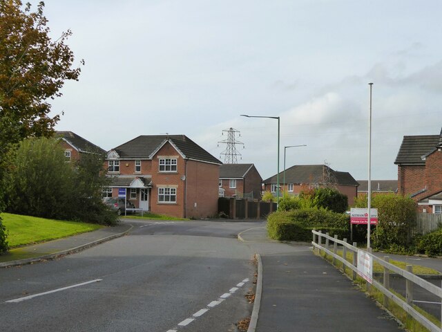
Primarily known for its residential properties, Milnshaw features a mix of housing types, including terraced homes, semi-detached houses, and a few detached properties. The area is home to a diverse community, with residents from various backgrounds and age groups.
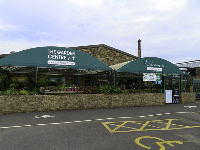
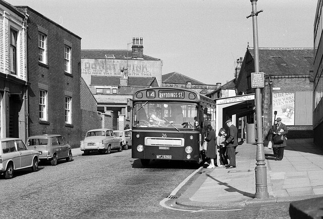
Milnshaw benefits from its proximity to Accrington town center, which is approximately a 15-minute walk away. This provides residents with easy access to a range of amenities, including shops, supermarkets, restaurants, and cafes. The area also benefits from good transportation links, with several bus routes serving the locality, connecting it to neighboring towns and cities.
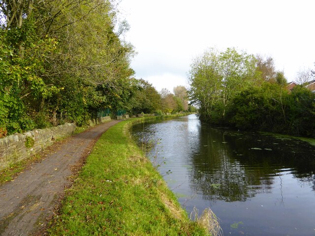
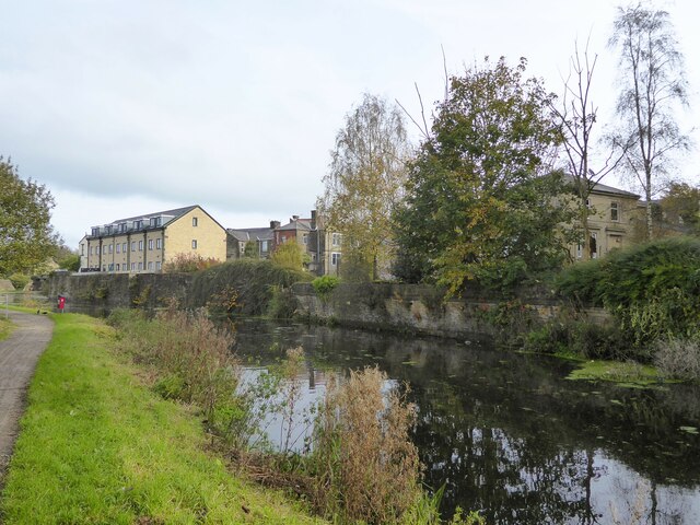
For recreational activities, residents of Milnshaw can take advantage of the nearby parks and green spaces. Oak Hill Park, located just a short distance away, offers a peaceful retreat with its well-maintained gardens and walking paths.
Milnshaw is also close to several schools, making it an attractive area for families. The local education options include primary and secondary schools, ensuring that children of all ages have access to quality education close to home.
Overall, Milnshaw provides a convenient and peaceful residential area within easy reach of essential amenities and recreational facilities.
If you have any feedback on the listing, please let us know in the comments section below.
Milnshaw Images
Images are sourced within 2km of 53.758122/-2.373852 or Grid Reference SD7529. Thanks to Geograph Open Source API. All images are credited.
Milnshaw is located at Grid Ref: SD7529 (Lat: 53.758122, Lng: -2.373852)
Administrative County: Lancashire
District: Hyndburn
Police Authority: Lancashire
What 3 Words
///neon.bake.soil. Near Clayton le Moors, Lancashire
Related Wikis

Accrington power station
Accrington power station was a coal and refuse fired electricity generating station located in the centre of Accrington, Lancashire. The station supplied...
Accrington Academy
Accrington Academy is a mixed 11-18 Academy in Accrington, Lancashire. It has designated specialisms in Sports and Mathematics. It is situated in the centre...
St Christopher's Church of England High School, Accrington
St Christopher's C of E High is a Church of England High School with academy status located north of Accrington in Lancashire, north-west England. The...

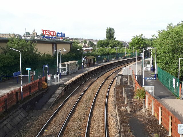
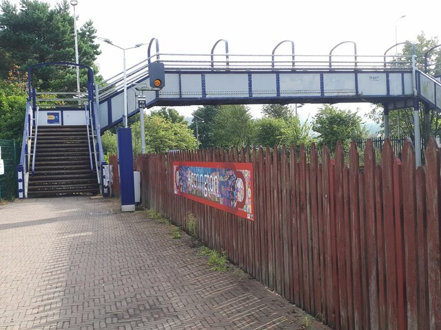
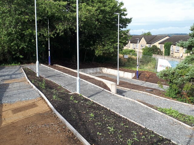
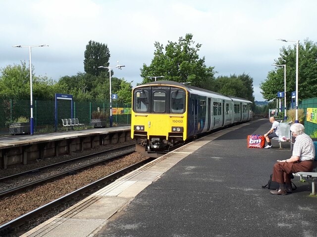
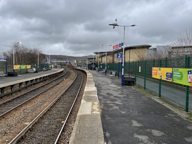
Accrington railway station
Accrington railway station serves the town of Accrington in Lancashire, England. It is a station on the East Lancashire line 6+1⁄4 miles (10.1 km) east...

Accrington Town Hall
Accrington Town Hall is a municipal building in Blackburn Road, Accrington, Lancashire, England. The town hall, which was the headquarters of Accrington...

Cannon Street Baptist Church, Accrington
Cannon Street Baptist Church, Accrington is a Grade II listed former Baptist church in Accrington, Lancashire. == History == The congregation for which...

Accrington Library
Accrington Library is a Carnegie library located in the town of Accrington, Lancashire. In 1904 a sum of £7,500 was offered to the town by the industrialist...

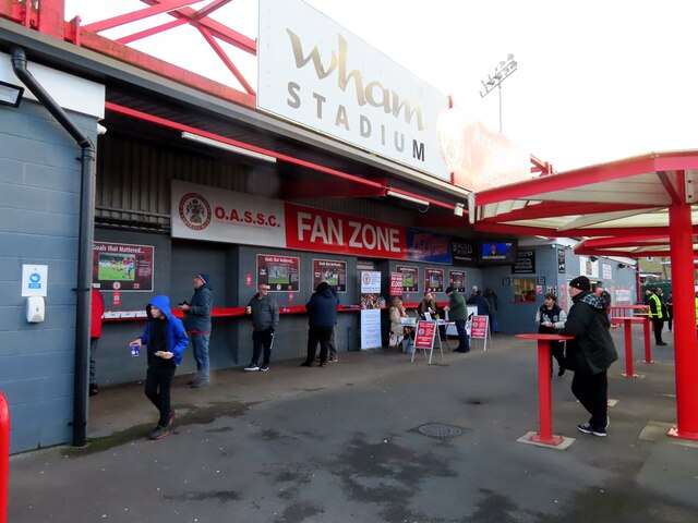
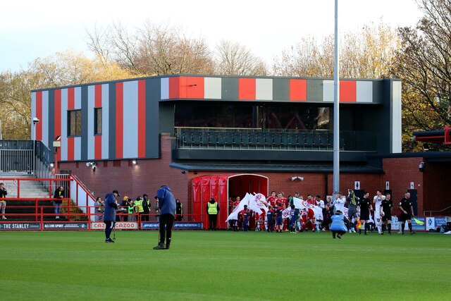
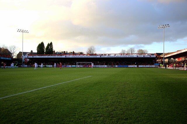
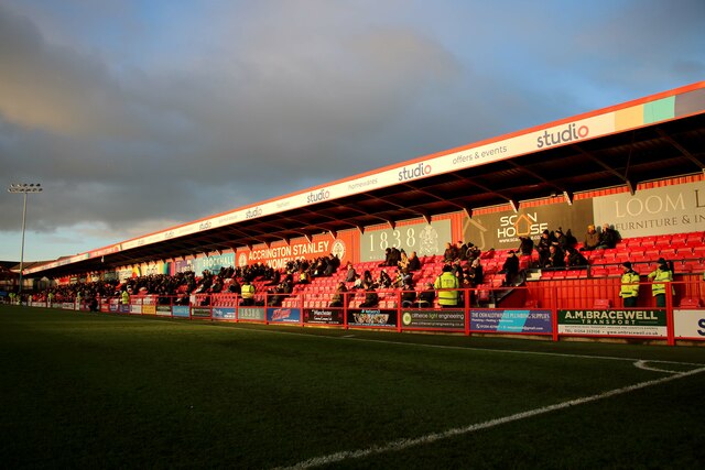
Crown Ground
The Crown Ground is a multi-use stadium in Accrington, Lancashire, England. It is currently used mostly for football matches and is the home ground of...
Nearby Amenities
Located within 500m of 53.758122,-2.373852Have you been to Milnshaw?
Leave your review of Milnshaw below (or comments, questions and feedback).