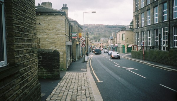
Milnsbridge

Settlement in Yorkshire

England

Milnsbridge

Footpath to Longwood Reservoir
Footpath to Longwood Reservoir Credit: Chris Wimbush

The requested URL returned error: 429 Too Many Requests

If you have any feedback on the listing, please let us know in the comments section below.
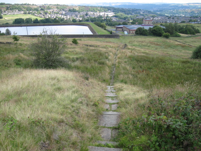
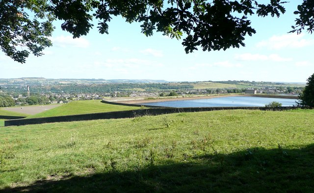
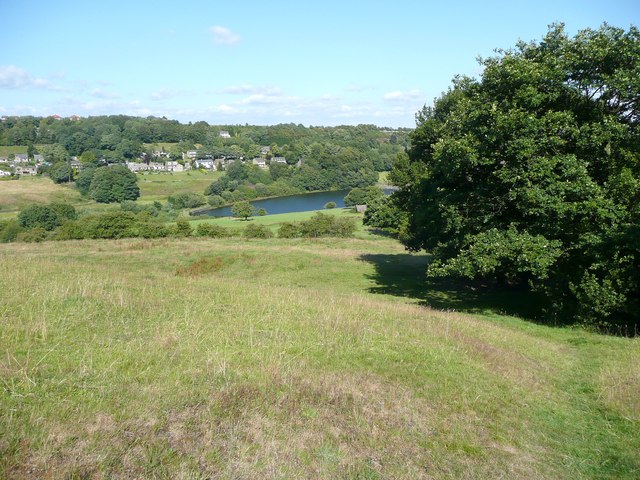
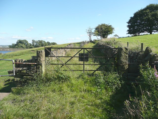
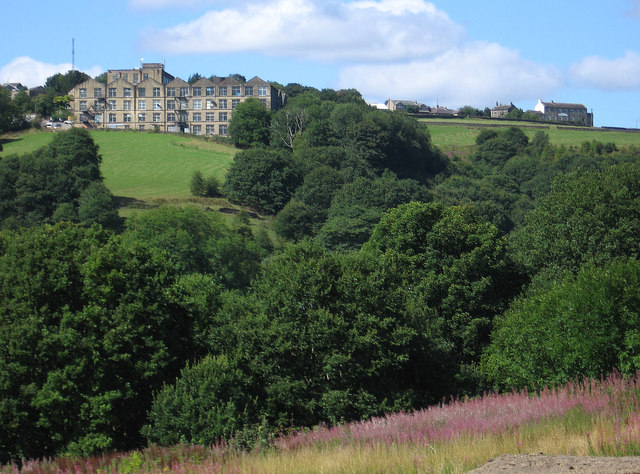
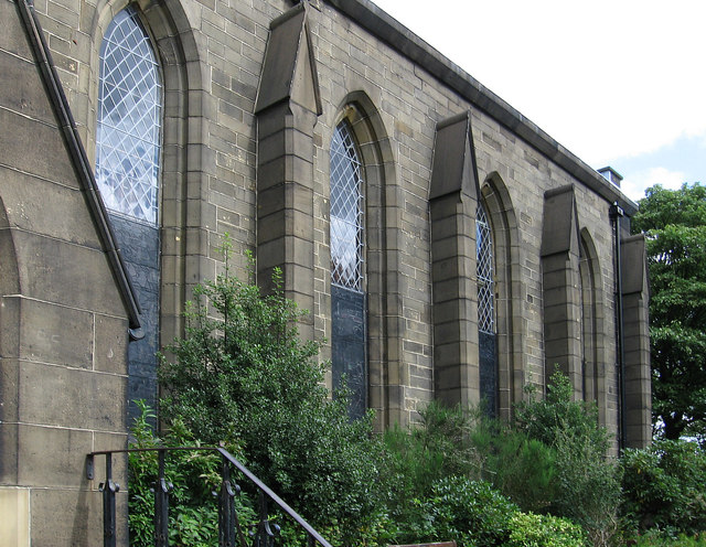
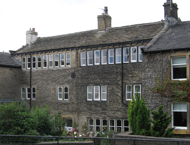
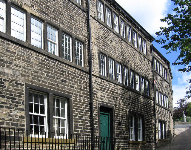
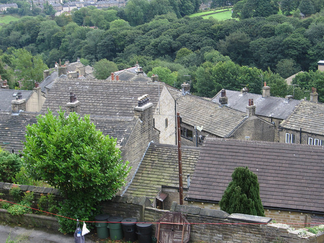
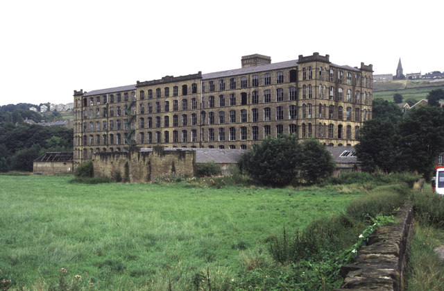
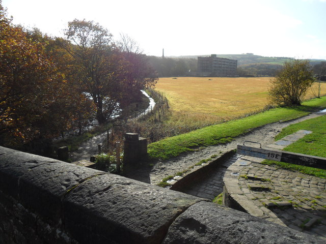
Milnsbridge Images

Images are sourced within 2km of 53.638596/-1.833594 or Grid Reference SE1115. Thanks to Geograph Open Source API. All images are credited.

Footpath to Longwood Reservoir
Longwood Reservoir An open reservoir that collects water from springs, a treatment works beyond, and a covered reservoir, presumably for treated water, below (to the left).
Longwood Reservoir
An open reservoir that collects water from springs, a treatment works beyond, and a covered reservoir, presumably for treated water, below (to the left).
Footpath to Leys Farm, Longwood The farm is hidden by the trees. Beyond is Longwood Compensation Reservoir, and the houses are along Lamb Hall Road.
Footpath to Leys Farm, Longwood
The farm is hidden by the trees. Beyond is Longwood Compensation Reservoir, and the houses are along Lamb Hall Road.
Leys Farm, Longwood Seen from the footpath from Pighill Wood.
Leys Farm, Longwood
Seen from the footpath from Pighill Wood.
Gate and stile at Leys Farm, Longwood
Leys farmhouse, Longwood Nice to find a farmhouse that has not been 'gentrified'. The stile seems redundant now, and the gate looks as if it has been moved from between the gateposts.
Leys farmhouse, Longwood
Nice to find a farmhouse that has not been 'gentrified'. The stile seems redundant now, and the gate looks as if it has been moved from between the gateposts.
Gate on the lane to Leys Farm , Longwood Now only used as a footpath; vehicle access is from Holmfield Road to the south-east.
Gate on the lane to Leys Farm , Longwood
Now only used as a footpath; vehicle access is from Holmfield Road to the south-east.
Golcar - Heath House Mill From Carr Top Lane.  For an alternative view, please see <a href="https://www.geograph.org.uk/photo/2194619">SE0915 : Heath House Mill, Golcar</a>.
Golcar - Heath House Mill
From Carr Top Lane. For an alternative view, please see SE0915 : Heath House Mill, Golcar.
Golcar - St John's Parish Church
Golcar - weavers cottages on Town End
Golcar - Colne Valley Museum
Golcar - rooftops on Carr Top Lane
Titanic Mill This textile mill was built in 1912 and was hence known as Titanic Mill. It was lying derelict and unloved when I photographed it in 2002 but it has since been converted in to apartments and the photograph here <a href="https://www.geograph.org.uk/photo/2194713">SE0914 : Titanic Mill</a> was taken from practically the same location. In some ways I prefer the earlier photograph.
Titanic Mill
This textile mill was built in 1912 and was hence known as Titanic Mill. It was lying derelict and unloved when I photographed it in 2002 but it has since been converted in to apartments and the photograph here SE0914 : Titanic Mill was taken from practically the same location. In some ways I prefer the earlier photograph.
Huddersfield Narrow Canal and River Colne From a footbridge over the canal near Linthwaite.  From here a path can be followed to the west of the river into Linthwaite, or the towpath can be taken which leads into the centre of Slaithwaite.
Huddersfield Narrow Canal and River Colne
From a footbridge over the canal near Linthwaite. From here a path can be followed to the west of the river into Linthwaite, or the towpath can be taken which leads into the centre of Slaithwaite.
Path Along Bottom of Rek, Golcar This was taken at the path crossroads, I took 3 others to make a set. The wall is in a bit of a poor state though.
Path Along Bottom of Rek, Golcar
This was taken at the path crossroads, I took 3 others to make a set. The wall is in a bit of a poor state though.
Path by Side of Rek, Golcar This was taken at the path crossroads, I took 3 others to make a set.
Path by Side of Rek, Golcar
This was taken at the path crossroads, I took 3 others to make a set.
Path Towards Leymoor, Golcar This was taken at the path crossroads, looking along bottom of Manor Road School. I took 3 others to make a set. The wall is in a bit of a poor state though.
Path Towards Leymoor, Golcar
This was taken at the path crossroads, looking along bottom of Manor Road School. I took 3 others to make a set. The wall is in a bit of a poor state though.
Looking Down The Fields, Golcar This was taken at the path crossroads, I took 3 others to make a set.
Looking Down The Fields, Golcar
This was taken at the path crossroads, I took 3 others to make a set.
Show me another place!

Milnsbridge is located at Grid Ref: SE1115 (Lat: 53.638596, Lng: -1.833594)

Division: West Riding

Unitary Authority: Kirklees

Police Authority: West Yorkshire

What 3 Words

///poet.lofts.rooms. Near Linthwaite, West Yorkshire

Related Wikis

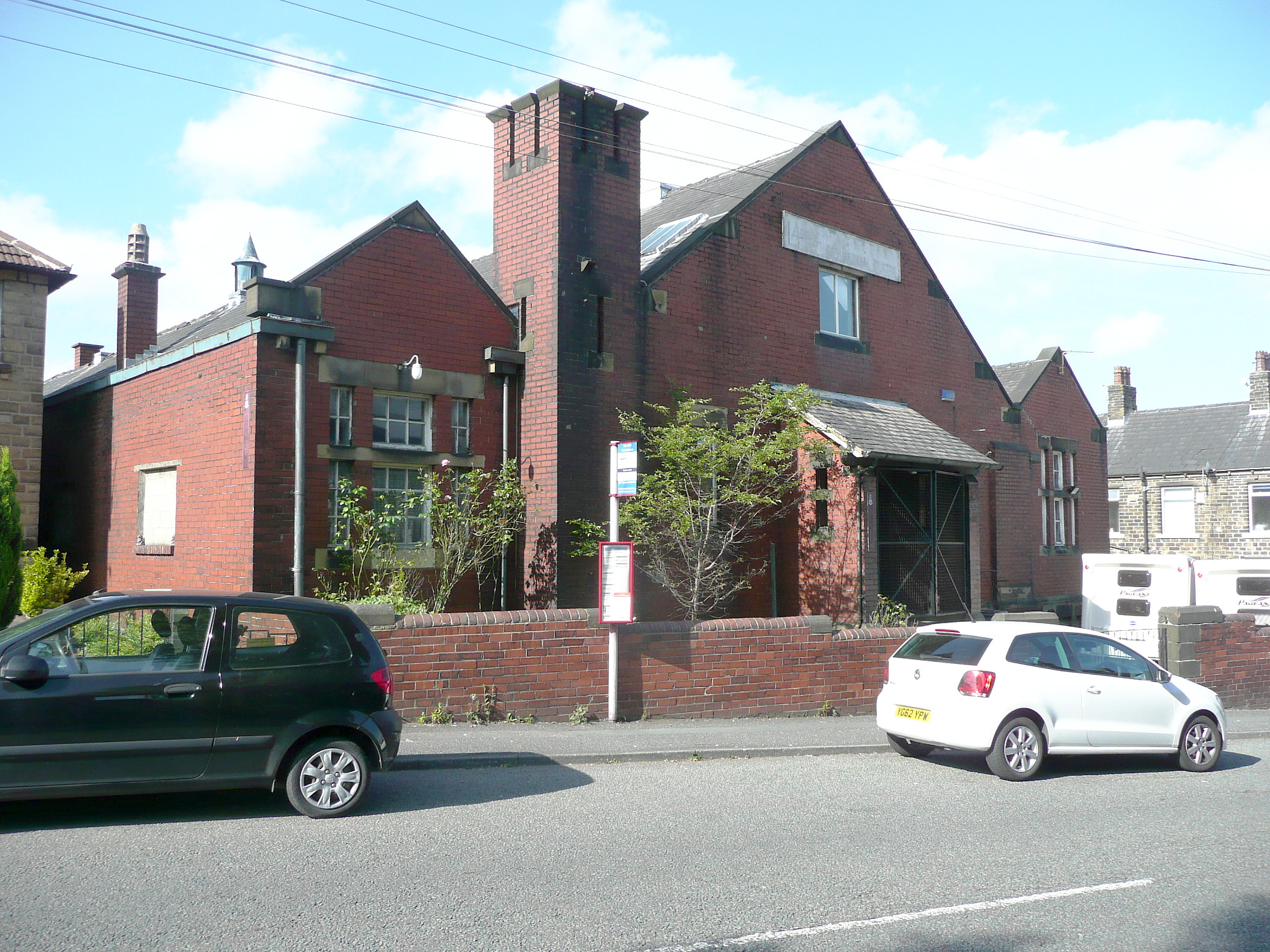
Scar Lane drill hall, Milnsbridge

The Scar Lane drill hall is a former military installation in Milnsbridge, West Yorkshire, England. == History == The building was designed as the headquarters...

Cowlersley

Cowlersley is a district 2 miles (3.2 km) west of Huddersfield, West Yorkshire, England. It is situated between Milnsbridge and Linthwaite and south of...

Milnsbridge

Milnsbridge is a district of Huddersfield, West Yorkshire, England, situated 2 miles (3 km) west of the town centre, and in the Colne Valley. The name...

Golcar United F.C.

Golcar United Football Club is a football club based in Golcar, Huddersfield, West Yorkshire, England. They are currently members of the Northern Counties...

Nearby Amenities

Located within 500m of 53.638596,-1.833594
Waterway: lock_gate
Lat/Long: 53.6379139/-1.8338227
Waterway: lock_gate
Lat/Long: 53.637914/-1.8334419
Waterway: lock_gate
Lat/Long: 53.6388349/-1.8262517
Mini Roundabout
Direction: clockwise
Lat/Long: 53.6404394/-1.8297942
Fuel
Brand: Jet
Lat/Long: 53.6402049/-1.8377147
Mini Roundabout
Direction: clockwise
Lat/Long: 53.6401188/-1.8396901
Traffic Signals
Lat/Long: 53.6373099/-1.8312647
Waterway: waterfall
Lat/Long: 53.6372393/-1.8388695
Bus Stop
Linthwaite, Manchester Road / opposite Yew Tree Lane Spurn Point
Bus: yes
Local Ref: 45021716
Naptan AtcoCode: 450021716
Naptan Bearing: NE
Naptan CommonName: Manchester Road Yew Tree Lane
Naptan Crossing: Yew Tree Lane
Naptan Indicator: Stop 45021716
Naptan PlusbusZoneRef: LEEDS
Naptan ShortCommonName: Yew Tree Lane
Naptan Street: Manchester Road
Naptan Verified: no
Network: WY Metro
Operator: WY Metro
Public Transport: platform
Shelter: yes
Source: naptan_import
Lat/Long: 53.6355334/-1.8390069
Bus Stop
Cowlersley, Manchester Road / Cowlersley
Bus: yes
Local Ref: 45021717
Naptan AtcoCode: 450021717
Naptan Bearing: W
Naptan CommonName: Manchester Road Cowlersley
Naptan Crossing: Nr-At Cowlersley Lane
Naptan Indicator: Stop 45021717
Naptan PlusbusZoneRef: LEEDS
Naptan ShortCommonName: Cowlersley
Naptan Street: Manchester Road
Naptan Verified: no
Network: WY Metro
Operator: WY Metro
Public Transport: platform
Source: naptan_import
Lat/Long: 53.6368667/-1.834646
Bus Stop
Cowlersley, Manchester Road / near Morley Lane
Bus: yes
Local Ref: 45021718
Naptan AtcoCode: 450021718
Naptan Bearing: E
Naptan CommonName: Manchester Road Morley Lane
Naptan Crossing: Nr-At Morley Lane
Naptan Indicator: Stop 45021718
Naptan PlusbusZoneRef: LEEDS
Naptan ShortCommonName: Cowlersley
Naptan Street: Manchester Road
Naptan Verified: no
Network: WY Metro
Operator: WY Metro
Public Transport: platform
Shelter: no
Source: naptan_import
Lat/Long: 53.6370639/-1.8342217
Bus Stop
Cowlersley, Manchester Road / near Bowling Street
Bus: yes
Local Ref: 45021719
Naptan AtcoCode: 450021719
Naptan Bearing: W
Naptan CommonName: Manchester Road Bowling Street
Naptan Crossing: New Street
Naptan Indicator: Stop 45021719
Naptan Landmark: YMCA
Naptan PlusbusZoneRef: LEEDS
Naptan ShortCommonName: New Street
Naptan Street: Manchester Road
Naptan Verified: no
Network: WY Metro
Operator: WY Metro
Public Transport: platform
Source: naptan_import
Lat/Long: 53.6371482/-1.8302437
Bus Stop
Cowlersley, Manchester Road / opposite Bowling Street
Bus: yes
Local Ref: 45021720
Naptan AtcoCode: 450021720
Naptan Bearing: E
Naptan CommonName: Manchester Road Bowling Street
Naptan Crossing: Bowling Street
Naptan Indicator: Stop 45021720
Naptan PlusbusZoneRef: LEEDS
Naptan ShortCommonName: New Street
Naptan Street: Manchester Road
Naptan Verified: no
Network: WY Metro
Operator: WY Metro
Public Transport: platform
Shelter: yes
Source: naptan_import
Lat/Long: 53.6371652/-1.8295479
Bus Stop
Milnsbridge, Manchester Road / Queens Road West
Bus: yes
Local Ref: 45021721
Naptan AtcoCode: 450021721
Naptan Bearing: W
Naptan CommonName: Manchester Road Queens Road West
Naptan Crossing: Queens Road West
Naptan Indicator: Stop 45021721
Naptan Landmark: The Queen PH
Naptan PlusbusZoneRef: LEEDS
Naptan ShortCommonName: Queens Road West
Naptan Street: Manchester Road
Naptan Verified: no
Network: WY Metro
Operator: WY Metro
Public Transport: platform
Source: naptan_import
Lat/Long: 53.6369541/-1.826539
Bus Stop
Milnsbridge, Manchester Road / near Pickford Street
Bus: yes
Local Ref: 45021722
Naptan AtcoCode: 450021722
Naptan Bearing: E
Naptan CommonName: Manchester Road Pickford Street
Naptan Crossing: Pickford Street
Naptan Indicator: Stop 45021722
Naptan Landmark: Queen PH
Naptan Notes: OSR taken place 060106
Naptan PlusbusZoneRef: LEEDS
Naptan ShortCommonName: Pickford Street
Naptan Street: Manchester Road
Naptan Verified: no
Network: WY Metro
Operator: WY Metro
Public Transport: platform
Shelter: no
Source: naptan_import
Lat/Long: 53.6370799/-1.8264931
Bus Stop
Cowlersley, Cowlersley Lane / at Western Road
Bus: yes
Local Ref: 45022416
Naptan AtcoCode: 450022416
Naptan Bearing: SW
Naptan CommonName: Cowlersley Lane Western Road
Naptan Crossing: Western Road
Naptan Indicator: Stop 45022416
Naptan PlusbusZoneRef: LEEDS
Naptan ShortCommonName: Western Road
Naptan Street: Cowlersley Lane
Naptan Verified: no
Network: WY Metro
Operator: WY Metro
Public Transport: platform
Source: naptan_import
Lat/Long: 53.6369263/-1.8322409
Bus Stop
Cowlersley, Cowlersley Lane / opposite Western Road
Bus: yes
Local Ref: 45022417
Naptan AtcoCode: 450022417
Naptan Bearing: NE
Naptan CommonName: Cowlersley Lane Warneford Road
Naptan Crossing: Warneford Road
Naptan Indicator: Stop 45022417
Naptan PlusbusZoneRef: LEEDS
Naptan ShortCommonName: Warneford Road
Naptan Street: Cowlersley Lane
Naptan Verified: no
Network: WY Metro
Operator: WY Metro
Public Transport: platform
Source: naptan_import
Lat/Long: 53.6368641/-1.8327403
Bus Stop
Cowlersley, Cowlersley Lane / opposite Jubilee Lane
Bus: yes
Local Ref: 45022418
Naptan AtcoCode: 450022418
Naptan Bearing: NE
Naptan CommonName: Cowlersley Lane Jubilee Lane
Naptan Crossing: Jubilee Lane
Naptan Indicator: Stop 45022418
Naptan PlusbusZoneRef: LEEDS
Naptan ShortCommonName: Jubilee Lane
Naptan Street: Cowlersley Lane
Naptan Verified: no
Network: WY Metro
Operator: WY Metro
Public Transport: platform
Source: naptan_import
Lat/Long: 53.6355196/-1.8354831
Bus Stop
Cowlersley, Cowlersley Lane / adjacent Jubilee Lane
Bus: yes
Local Ref: 45022419
Naptan AtcoCode: 450022419
Naptan Bearing: SW
Naptan CommonName: Cowlersley Lane Jubilee Lane
Naptan Crossing: Jubilee Lane
Naptan Indicator: Stop 45022419
Naptan PlusbusZoneRef: LEEDS
Naptan ShortCommonName: Jubilee Lane
Naptan Street: Cowlersley Lane
Naptan Verified: no
Network: WY Metro
Operator: WY Metro
Public Transport: platform
Source: naptan_import
Lat/Long: 53.6353848/-1.8354685
Bus Stop
Yates Lane Morley Lane
Local Ref: 45021909
Naptan AtcoCode: 450021909
Naptan Bearing: SW
Naptan CommonName: Yates Lane Morley Lane
Naptan Crossing: Morley Lane
Naptan Indicator: Stop 45021909
Naptan PlusbusZoneRef: LEEDS
Naptan ShortCommonName: Morley Lane
Naptan Street: Yates Lanes
Naptan Verified: no
Source: naptan_import
Lat/Long: 53.6394362/-1.8273758
Bus Stop
Morley Lane Market Street
Local Ref: 45021911
Naptan AtcoCode: 450021911
Naptan Bearing: NE
Naptan CommonName: Morley Lane Market Street
Naptan Crossing: Market Street
Naptan Indicator: Stop 45021911
Naptan PlusbusZoneRef: LEEDS
Naptan ShortCommonName: Market Street
Naptan Street: Morley Lane
Naptan Verified: no
Source: naptan_import
Lat/Long: 53.6399566/-1.8267838
Bus Stop
Crow Lane Savile Street
Local Ref: 45021912
Naptan AtcoCode: 450021912
Naptan Bearing: NE
Naptan CommonName: Crow Lane Savile Street
Naptan Crossing: Savile Street
Naptan Indicator: Stop 45021912
Naptan Landmark: Telephone Exchange
Naptan PlusbusZoneRef: LEEDS
Naptan ShortCommonName: Savile Street
Naptan Street: Crow Lane
Naptan Verified: no
Source: naptan_import
Lat/Long: 53.6409043/-1.8294723
Bus Stop
Scar Lane Milnsbridge Somerfields
Local Ref: 45021915
Naptan AtcoCode: 450021915
Naptan Bearing: W
Naptan CommonName: Scar Lane Milnsbridge Somerfields
Naptan Crossing: Lipscombe Street
Naptan Indicator: Stop 45021915
Naptan Landmark: Supermarket
Naptan PlusbusZoneRef: LEEDS
Naptan ShortCommonName: Lipscombe Street
Naptan Street: Scar Lane
Naptan Verified: no
Source: naptan_import
Lat/Long: 53.640524/-1.8275529
Bus Stop
Scar Lane Britannia Road
Local Ref: 45021916
Naptan AtcoCode: 450021916
Naptan Bearing: W
Naptan CommonName: Scar Lane Britannia Road
Naptan Crossing: Britannia Road
Naptan Indicator: Stop 45021916
Naptan PlusbusZoneRef: LEEDS
Naptan ShortCommonName: Britannia Road
Naptan Street: Scar Lane
Naptan Verified: no
Source: naptan_import
Lat/Long: 53.6404185/-1.8291869
Bus Stop
Scar Lane Barlbro Place
Local Ref: 45021917
Naptan AtcoCode: 450021917
Naptan Bearing: W
Naptan CommonName: Scar Lane Barlbro Place
Naptan Crossing: Barlbro Place
Naptan Indicator: Stop 45021917
Naptan PlusbusZoneRef: LEEDS
Naptan ShortCommonName: Barlbro Place
Naptan Street: Scar Lane
Naptan Verified: no
Source: naptan_import
Lat/Long: 53.639804/-1.8332278
Bus Stop
Scar Lane Barlbro Place
Local Ref: 45021918
Naptan AtcoCode: 450021918
Naptan Bearing: N
Naptan CommonName: Scar Lane Barlbro Place
Naptan Crossing: Barlbro Place
Naptan Indicator: Stop 45021918
Naptan PlusbusZoneRef: LEEDS
Naptan ShortCommonName: Barlbro Place
Naptan Street: Scar Lane
Naptan Verified: no
Source: naptan_import
Lat/Long: 53.6398762/-1.8334696
Bus Stop
Scar Lane Tintern Avenue
Local Ref: 45021919
Naptan AtcoCode: 450021919
Naptan Bearing: W
Naptan CommonName: Scar Lane Tintern Avenue
Naptan Crossing: Tintern Avenue
Naptan Indicator: Stop 45021919
Naptan Landmark: Regimental Museum
Naptan PlusbusZoneRef: LEEDS
Naptan ShortCommonName: Tintern Avenue
Naptan Street: Scar Lane
Naptan Verified: no
Source: naptan_import
Lat/Long: 53.6403307/-1.8371282
Bus Stop
Scar Lane Tintern Avenue
Local Ref: 45021920
Naptan AtcoCode: 450021920
Naptan Bearing: E
Naptan CommonName: Scar Lane Tintern Avenue
Naptan Crossing: Tintern Avenue
Naptan Indicator: Stop 45021920
Naptan Landmark: Regimental Museum
Naptan PlusbusZoneRef: LEEDS
Naptan ShortCommonName: Tintern Avenue
Naptan Street: Scar Lane
Naptan Verified: no
Source: naptan_import
Lat/Long: 53.6404294/-1.8369917
Bus Stop
Scar Lane Sycamore Avenue
Local Ref: 45021921
Naptan AtcoCode: 450021921
Naptan Bearing: W
Naptan CommonName: Scar Lane Sycamore Avenue
Naptan Crossing: Sycamore Avenue
Naptan Indicator: Stop 45021921
Naptan Landmark: Golcar - Milnsbridge Boundry
Naptan PlusbusZoneRef: LEEDS
Naptan ShortCommonName: Sycamore Avenue
Naptan Street: Scar Lane
Naptan Verified: no
Source: naptan_import
Lat/Long: 53.6399664/-1.8402757
Bus Stop
Scar Lane Sycamore Avenue
Local Ref: 45021922
Naptan AtcoCode: 450021922
Naptan Bearing: E
Naptan CommonName: Scar Lane Sycamore Avenue
Naptan Crossing: Sycamore Avenue
Naptan Indicator: Stop 45021922
Naptan PlusbusZoneRef: LEEDS
Naptan ShortCommonName: Sycamore Avenue
Naptan Street: Scar Lane
Naptan Verified: no
Source: naptan_import
Lat/Long: 53.6400386/-1.8404569
Bus Stop
Britannia Road Holme Mills Industrial Estate
Local Ref: 45021934
Naptan AtcoCode: 450021934
Naptan Bearing: W
Naptan CommonName: Britannia Road Holme Mills Industrial Estate
Naptan Crossing: Twixt Scar Lane & Station Road
Naptan Indicator: Stop 45021934
Naptan Landmark: Adj Holme Mills Industrial Estate
Naptan PlusbusZoneRef: LEEDS
Naptan ShortCommonName: Britannia Road
Naptan Street: Britannia Road
Naptan Verified: no
Source: naptan_import
Lat/Long: 53.6373694/-1.8407543
Bus Stop
Britannia Road Holme Mills Industrial Estate
Local Ref: 45021935
Naptan AtcoCode: 450021935
Naptan Bearing: E
Naptan CommonName: Britannia Road Holme Mills Industrial Estate
Naptan Crossing: Twixt Station Road & Scar Lane
Naptan Indicator: Stop 45021935
Naptan Landmark: Holme Mills Industrial Estate
Naptan PlusbusZoneRef: LEEDS
Naptan ShortCommonName: Britannia Road
Naptan Street: Britannia Road
Naptan Verified: no
Source: naptan_import
Lat/Long: 53.637486/-1.8406178
Bus Stop
Britannia Road Jigging Centre
Local Ref: 45021936
Naptan AtcoCode: 450021936
Naptan Bearing: NE
Naptan CommonName: Britannia Road Jigging Centre
Naptan Crossing: Brittania Road Trading Estate
Naptan Indicator: Stop 45021936
Naptan Landmark: Colne Valley Jigging Centre
Naptan PlusbusZoneRef: LEEDS
Naptan ShortCommonName: Jigging Centre
Naptan Street: Britannia Road
Naptan Verified: no
Source: naptan_import
Lat/Long: 53.6386407/-1.8369985
Bus Stop
Crow Lane Crow Lane School
Local Ref: 45024349
Naptan AtcoCode: 450024349
Naptan Bearing: NW
Naptan CommonName: Crow Lane Crow Lane School
Naptan Crossing: Royd Street
Naptan Indicator: Stop 45024349
Naptan Landmark: Crow Lane Jun & Inf School
Naptan Notes: OSR taken place 110106
Naptan PlusbusZoneRef: LEEDS
Naptan ShortCommonName: Crow Lane School
Naptan Street: Crow Lane
Naptan Verified: no
Source: naptan_import
Lat/Long: 53.642406/-1.8299049
Britannia Road Colne Valley Jigging Centre
Local Ref: 45051158
Naptan AtcoCode: 450051158
Naptan Bearing: SW
Naptan BusStopType: CUS
Naptan CommonName: Britannia Road Colne Valley Jigging Centre
Naptan Indicator: Stop 45051158
Naptan PlusbusZoneRef: LEEDS
Naptan ShortCommonName: Milnsbridge
Naptan Street: Britannia Road
Naptan Verified: no
Source: naptan_import
Lat/Long: 53.6385957/-1.8369533
Aldi
Brand: ALDI
Brand Wikidata: Q41171672
Brand Wikipedia: en:Aldi
Contact Website: https://stores.aldi.co.uk/milnsbridge/scar-lane
Operator: Aldi
Shop: supermarket
Lat/Long: 53.640339/-1.8269615
Pub
The Royal
Source: survey
Lat/Long: 53.6402592/-1.8299123
Fast Food
Hong Kong
Cuisine: chinese
Lat/Long: 53.6350571/-1.8367691
Premier News, Food & Wine
Shop: convenience
Lat/Long: 53.6352154/-1.8355765
Restaurant
Raj
Cuisine: indian
Lat/Long: 53.6401297/-1.8380456
Colne Valley Garden Centre
Shop: garden_centre
Lat/Long: 53.6398355/-1.8383916
Parking
Lat/Long: 53.6377072/-1.8393189
Cowlersley
Is In: Huddersfield
Place: village
Lat/Long: 53.6358696/-1.833445
Generator Method: photovoltaic
Generator Output Electricity: yes
Generator Source: solar
Generator Type: solar_photovoltaic_panel
Location: roof
Power: generator
Lat/Long: 53.634394/-1.835926
Generator Method: photovoltaic
Generator Output Electricity: yes
Generator Source: solar
Generator Type: solar_photovoltaic_panel
Location: roof
Power: generator
Lat/Long: 53.6351643/-1.8355597
Generator Method: photovoltaic
Generator Output Electricity: yes
Generator Source: solar
Generator Type: solar_photovoltaic_panel
Location: roof
Power: generator
Lat/Long: 53.6343494/-1.8328186
Generator Method: photovoltaic
Generator Output Electricity: yes
Generator Source: solar
Generator Type: solar_photovoltaic_panel
Location: roof
Power: generator
Lat/Long: 53.6357639/-1.8283446
Generator Method: photovoltaic
Generator Output Electricity: yes
Generator Source: solar
Generator Type: solar_photovoltaic_panel
Location: roof
Power: generator
Lat/Long: 53.6368372/-1.830569
Barrier: yes
Description: Fencing
Lat/Long: 53.639553/-1.8351085
Barrier: yes
Description: Fencing
Lat/Long: 53.6393753/-1.8367551
Fitzpatrick Fuels
Fuel Biomass: yes
Fuel Briquettes: yes
Fuel Charcoal: yes
Fuel Coal: yes
Fuel Kindling: yes
Fuel Peat: yes
Fuel Wood: yes
Shop: fuel
Source: survey
Lat/Long: 53.6409515/-1.8322496
The data included in this document is from www.openstreetmap.org. The data is made available under ODbL.

Have you been to Milnsbridge?

Leave your review of Milnsbridge below (or comments, questions and feedback).