Millington Green
Settlement in Derbyshire Derbyshire Dales
England
Millington Green
Millington Green is a charming village located in Derbyshire, England. Situated in the picturesque countryside, it offers a peaceful and idyllic setting for its residents and visitors alike. The village is nestled among rolling hills, lush green meadows, and enchanting woodlands, providing ample opportunities for outdoor activities and exploring nature.
The village itself is small, with a population of around 500 inhabitants. It has a close-knit community that takes pride in preserving its rich history and heritage. Millington Green is known for its quaint and well-preserved cottages, which showcase traditional English architecture and add to the village's charm.
In terms of amenities, Millington Green offers a few local shops and a village pub, which serves as a social hub for residents. The village also has a primary school, providing education for the local children.
One of the highlights of Millington Green is its proximity to stunning natural attractions. Just a short distance away, residents and visitors can explore the beauty of the Peak District National Park, renowned for its scenic landscapes, hiking trails, and opportunities for outdoor pursuits. The village is also conveniently located near other points of interest, such as the historic market town of Matlock and the famous Chatsworth House, making it an ideal base for exploring the wider area.
Overall, Millington Green offers a peaceful retreat from the hustle and bustle of city life, with its beautiful surroundings, friendly community, and easy access to natural wonders.
If you have any feedback on the listing, please let us know in the comments section below.
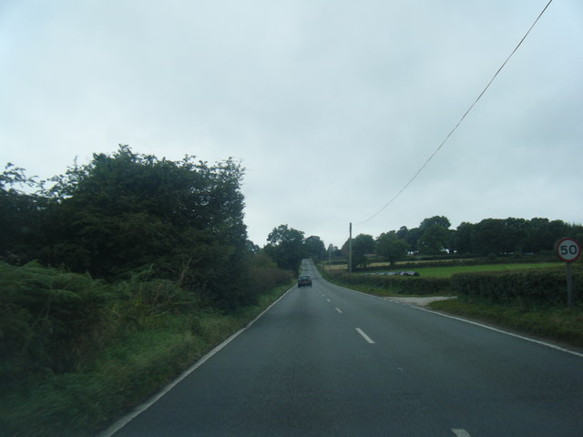
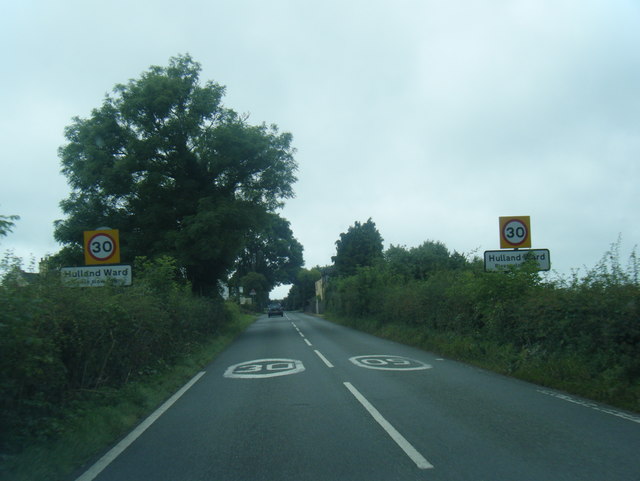
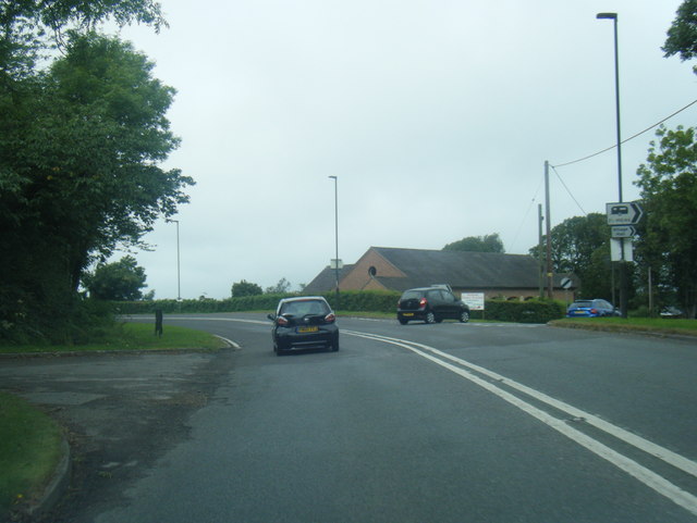
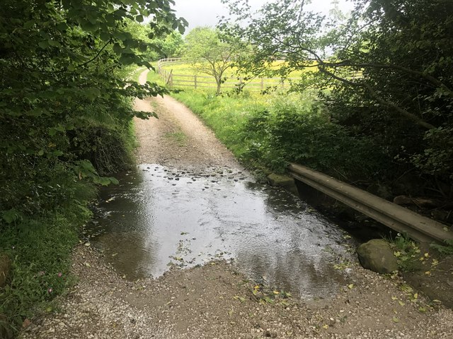
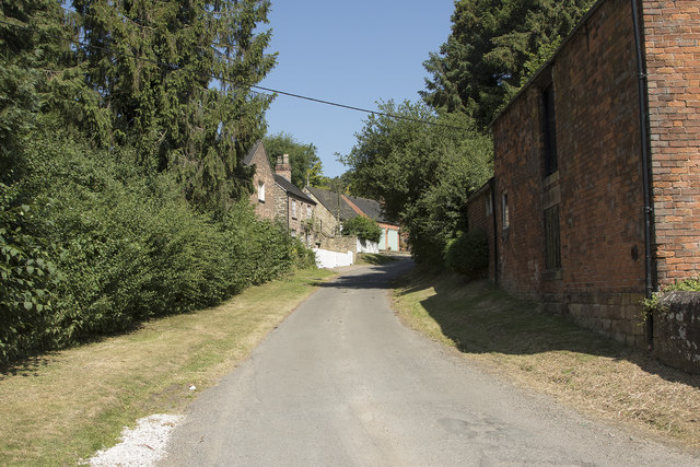
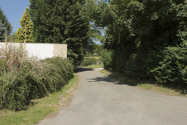
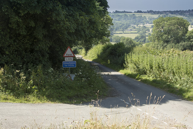
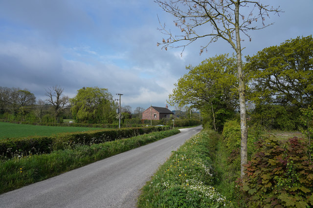
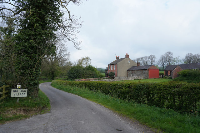
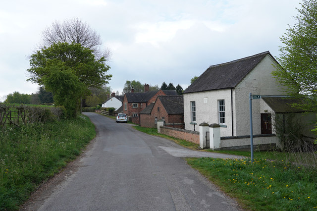
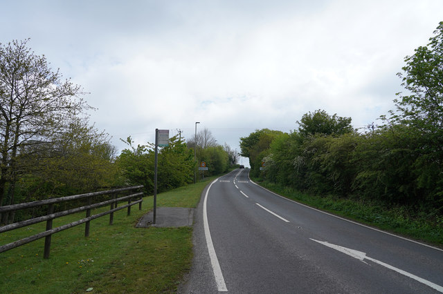
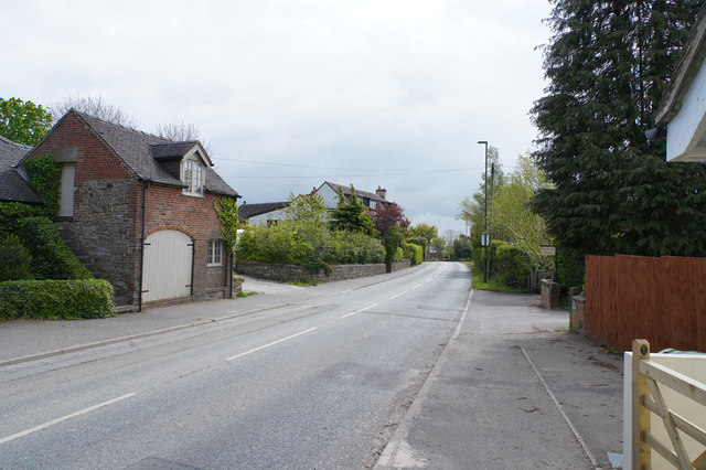
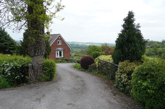
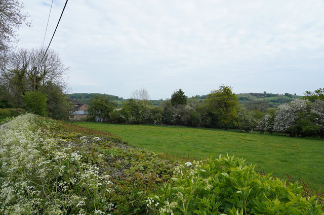
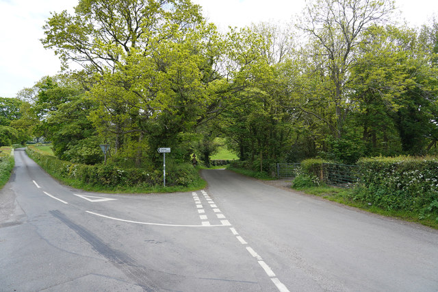
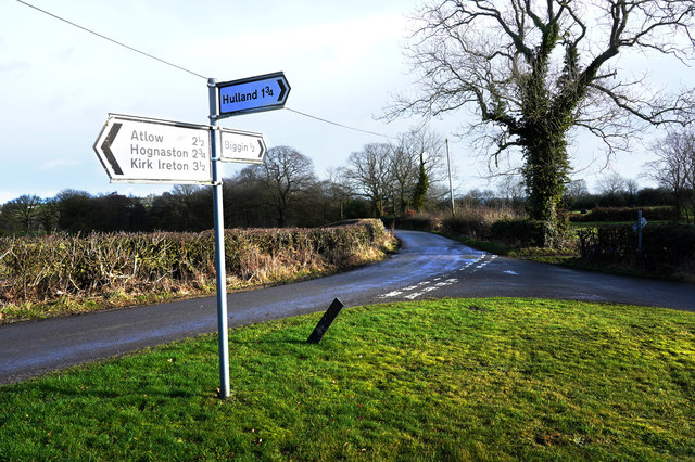
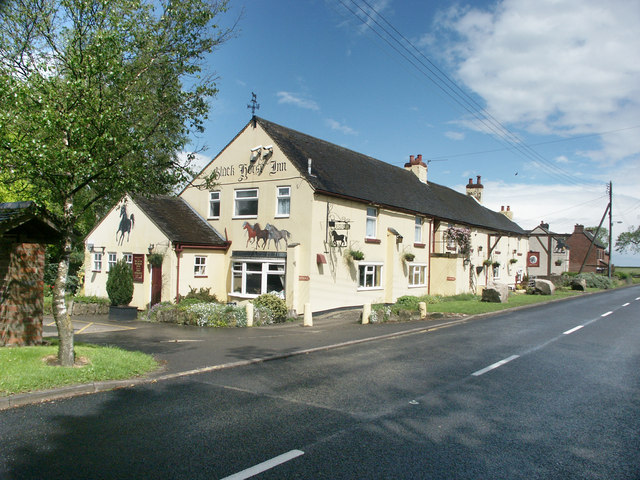
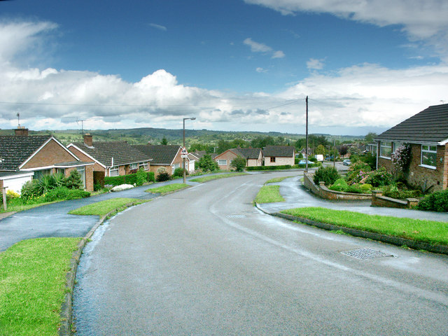
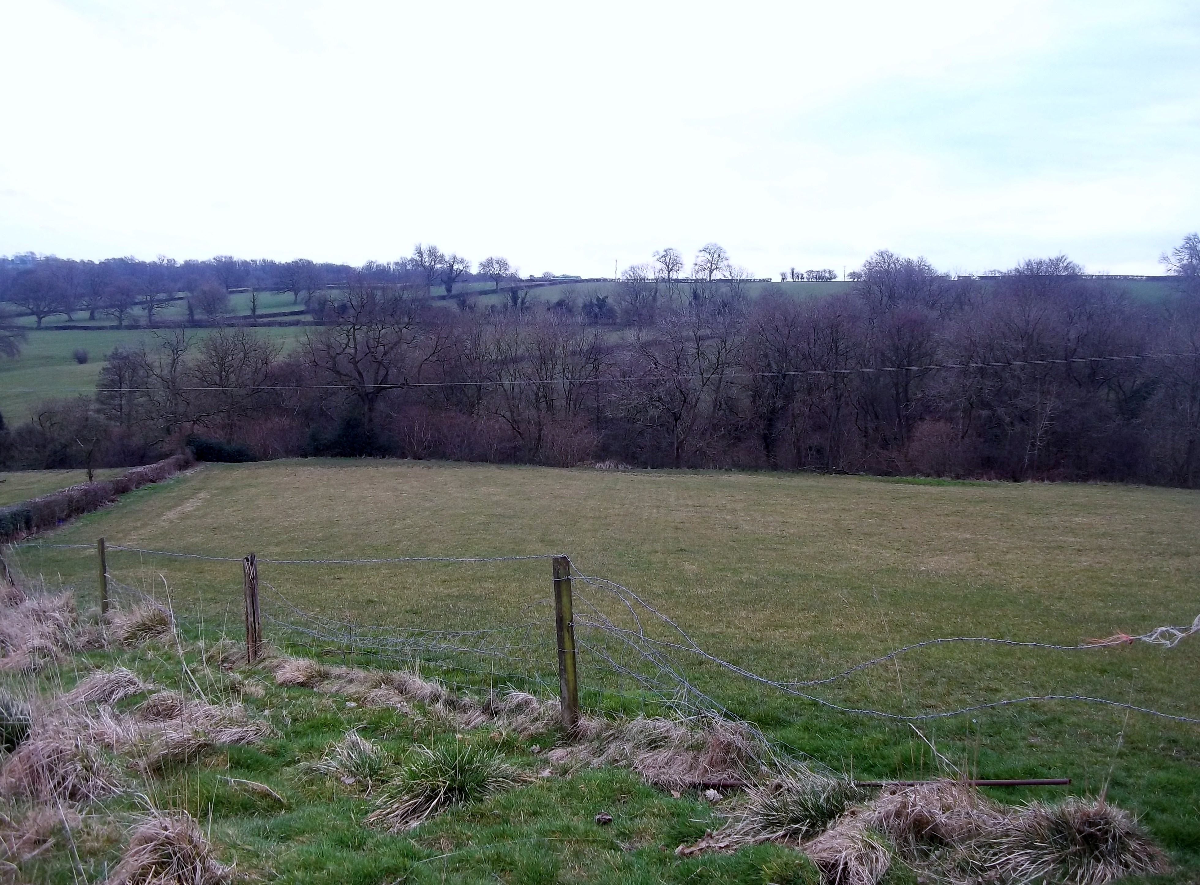
Millington Green Images
Images are sourced within 2km of 53.02593/-1.609334 or Grid Reference SK2647. Thanks to Geograph Open Source API. All images are credited.
Millington Green is located at Grid Ref: SK2647 (Lat: 53.02593, Lng: -1.609334)
Administrative County: Derbyshire
District: Derbyshire Dales
Police Authority: Derbyshire
What 3 Words
///garlic.diets.vitals. Near Wirksworth, Derbyshire
Nearby Locations
Related Wikis

Biggin by Hulland
Biggin is a village and civil parish in the Derbyshire Dales district of Derbyshire, England, near Hulland and just off the A517 road. In the 2011 census...

Hulland Ward
Hulland Ward is a village and civil parish in the Derbyshire Dales district of Derbyshire roughly 6 miles west of Belper, Derbyshire England on the A517...
Sheep Hills, Derbyshire
Sheep Hills is a place near Biggin in Derbyshire, United Kingdom. It is mainly a rural area, its geographical context is described as farm, grassland and...
Hulland
Hulland is a village and civil parish in the Derbyshire Dales district of Derbyshire, England, adjoining the A517 road. It had a population of 215 according...
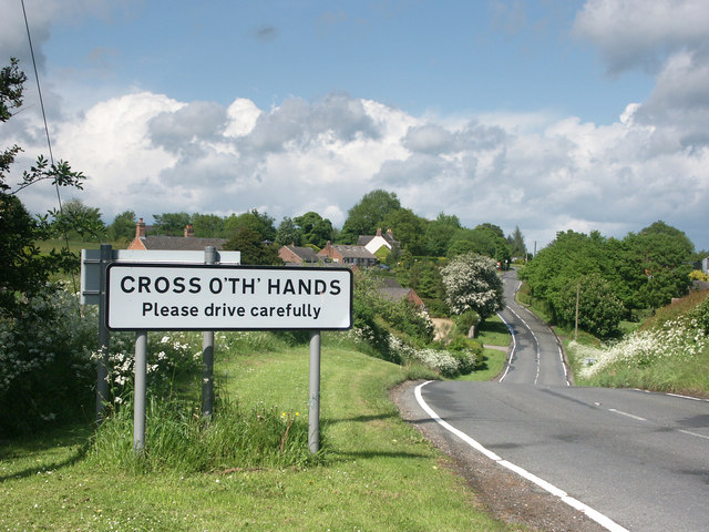
Cross o' th' Hands
Cross o' th' Hands is a small area of settlement in Derbyshire, England, 10 miles (16 km) north-west of Derby on the A517 road between Hulland and Turnditch...

Holy Trinity Church, Kirk Ireton
Holy Trinity Church, Kirk Ireton, is a Grade I listed parish church in the Church of England in Kirk Ireton, Derbyshire. == History == The church dates...

Idridgehay
Idridgehay is a village in the civil parish of Idridgehay and Alton, in the Amber Valley district of Derbyshire, England. The population of this parish...
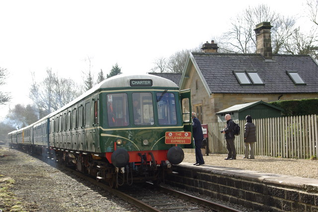
Idridgehay railway station
Idridgehay railway station is an intermediate station on the former Midland Railway branch line to the town of Wirksworth in Derbyshire. Off the Midland...
Nearby Amenities
Located within 500m of 53.02593,-1.609334Have you been to Millington Green?
Leave your review of Millington Green below (or comments, questions and feedback).