Alder Carr

Wood, Forest in Derbyshire Derbyshire Dales

England

Alder Carr

A517 westbound near Massey's Barn
A517 westbound near Massey's Barn Credit: Colin Pyle

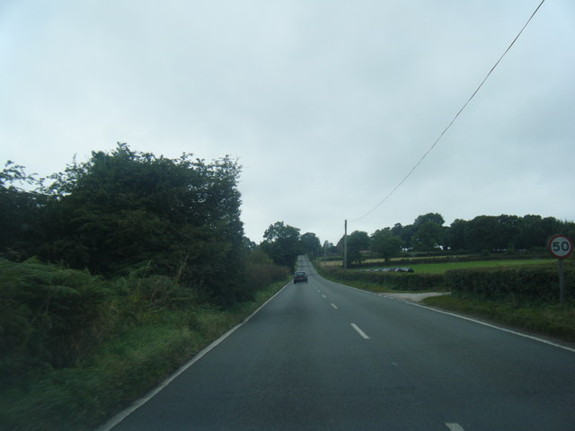
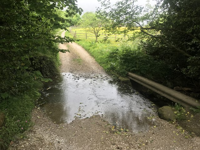
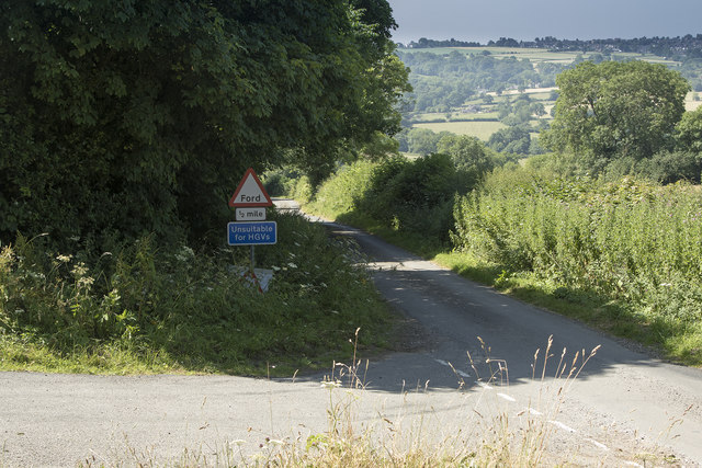
Alder Carr, located in Derbyshire, is a picturesque woodland area known for its dense growth of alder trees. Situated in the heart of the Peak District National Park, this forest offers visitors a tranquil escape into nature. The name "carr" refers to a type of wetland habitat, indicating the presence of water sources within the woodland.

The Alder Carr is home to a diverse range of plant and animal species, making it an important ecological site. The alder trees dominate the landscape, providing a dense canopy that allows limited sunlight to filter through. This creates a unique microclimate, fostering the growth of various mosses, ferns, and lichens on the forest floor.

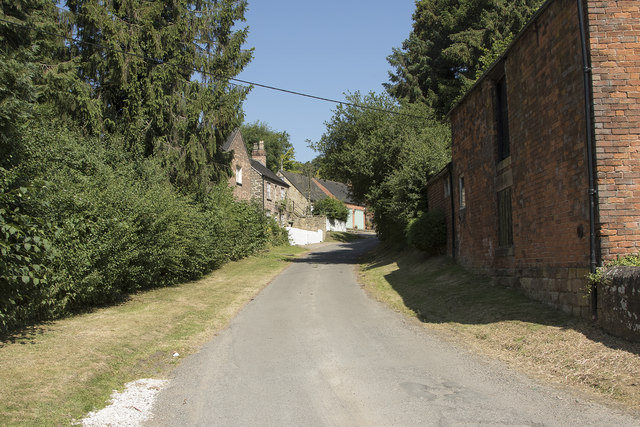
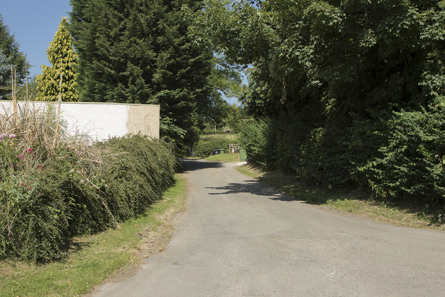
The forest is crisscrossed by a network of footpaths, enabling visitors to explore and appreciate the natural beauty of the area. These paths lead to scenic spots, including babbling brooks, small waterfalls, and serene ponds. Birdwatchers are particularly drawn to Alder Carr, as it attracts a wide array of avian species, such as woodpeckers, owls, and warblers.

Alder Carr is also known for its rich cultural history. The woodland has been used for centuries by local communities for gathering firewood, foraging, and as a source of inspiration for artists and writers. Today, it remains a popular destination for hikers, nature enthusiasts, and those simply seeking a peaceful retreat in the heart of nature.

Overall, Alder Carr in Derbyshire offers visitors a chance to immerse themselves in a serene forest environment, where the beauty of nature and the rich history of the area combine to create a unique and memorable experience.

If you have any feedback on the listing, please let us know in the comments section below.
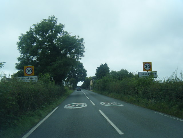
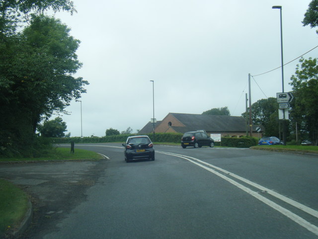
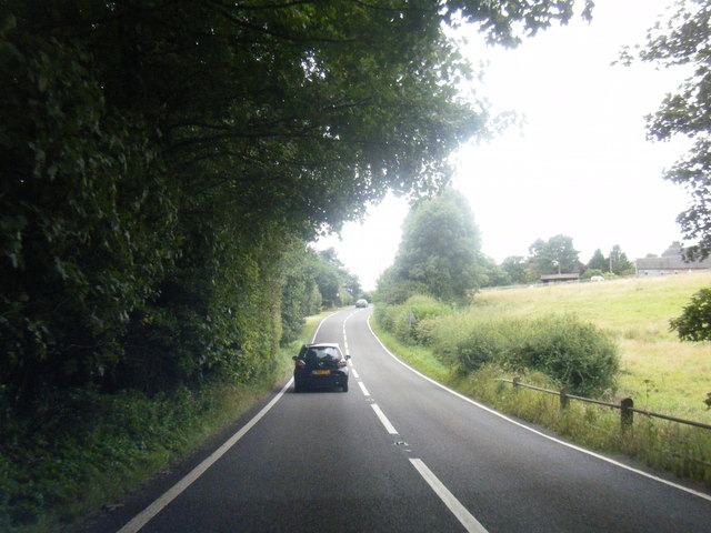
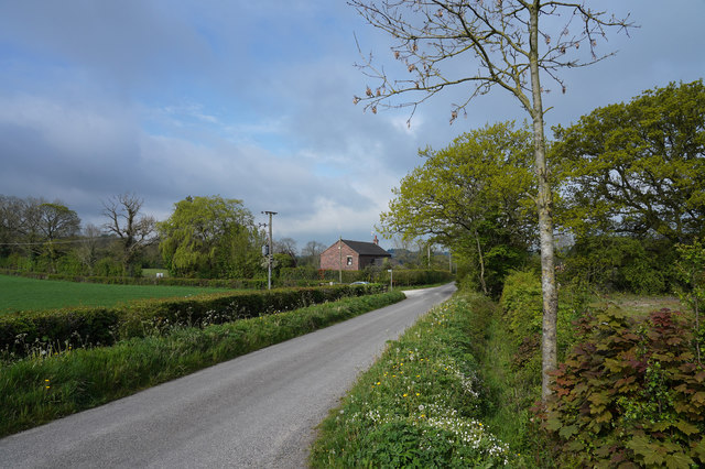
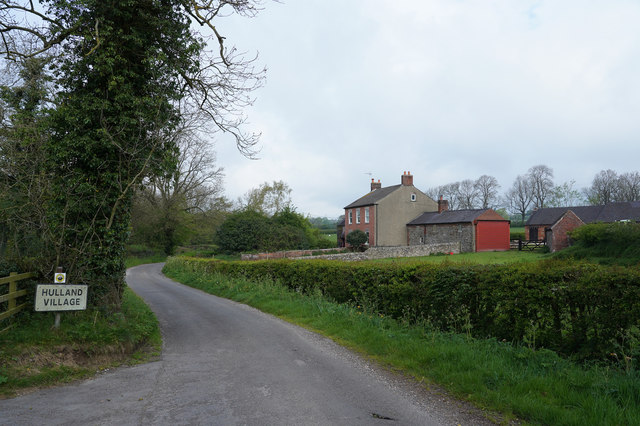
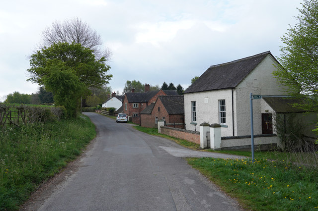
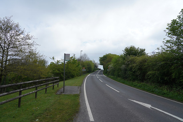
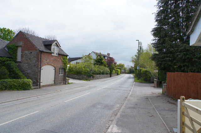
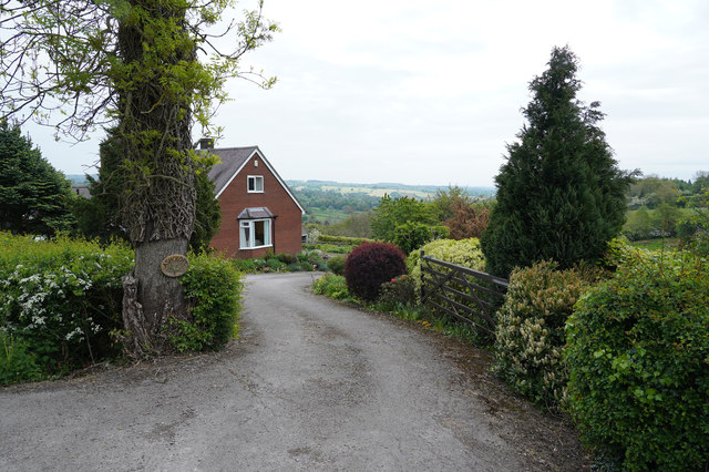
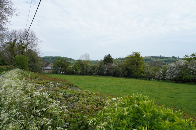
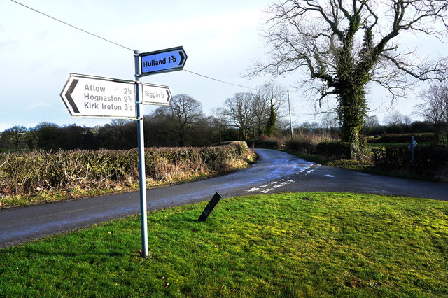
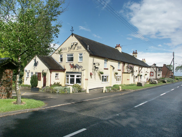
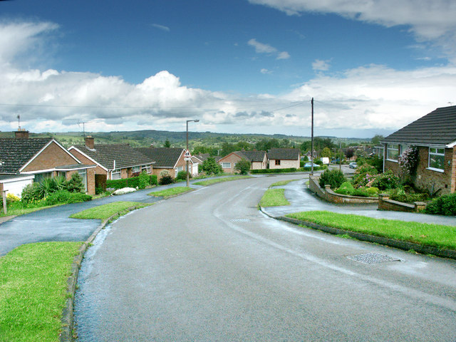
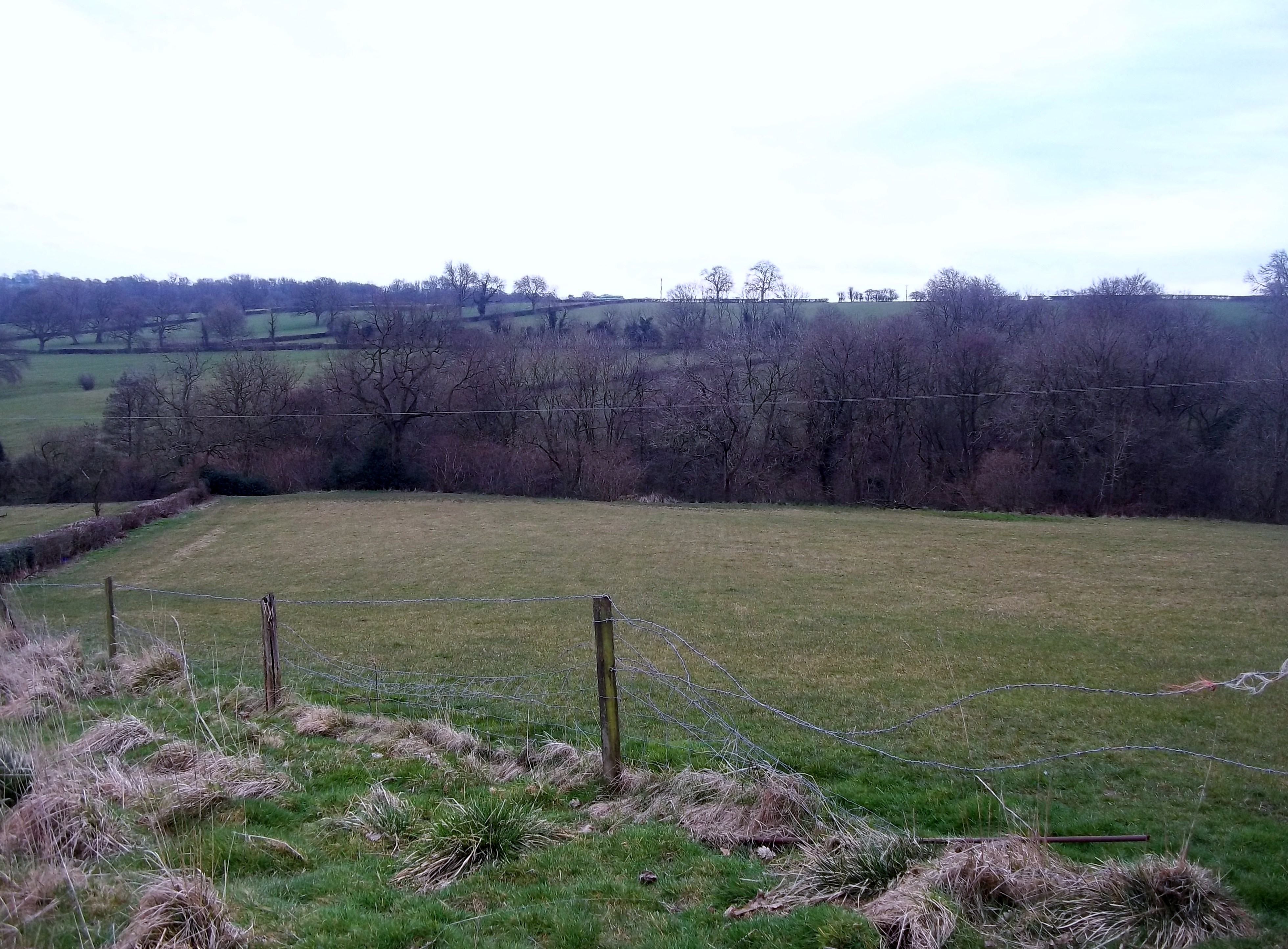
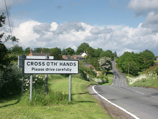
Alder Carr Images

Images are sourced within 2km of 53.024388/-1.6104511 or Grid Reference SK2647. Thanks to Geograph Open Source API. All images are credited.

A517 westbound near Massey's Barn
A517 at Hulland Ward village boundary
A517/ Dog Lane junction at Hulland Ward
A517 near Hulland Hall
Ford a Millington Green This is a third ford on the Biggin Brook at Millington Green. This one is found on the track leading up to Duncourt Farm.
Ford a Millington Green
This is a third ford on the Biggin Brook at Millington Green. This one is found on the track leading up to Duncourt Farm.
Houses on the Gorses A strangely named road in Ireton Village has some very desirable houses that are well away from shops and local amenities.
Houses on the Gorses
A strangely named road in Ireton Village has some very desirable houses that are well away from shops and local amenities.
Farm buildings next to the Gorses A concrete wall next to the road.
Farm buildings next to the Gorses
A concrete wall next to the road.
Unsuitable for HGV's The narrow road has a ford at the bottom and bears a sign saying unsuitable for HGV's which is no surprise.
Unsuitable for HGV's
The narrow road has a ford at the bottom and bears a sign saying unsuitable for HGV's which is no surprise.
An isolated cottage Not a farmhouse but just a lonely country cottage.
An isolated cottage
Not a farmhouse but just a lonely country cottage.
The edge of Hulland Village The sign says Hulland Village but there are only a couple of isolated houses here and then a large gap before the village proper.
The edge of Hulland Village
The sign says Hulland Village but there are only a couple of isolated houses here and then a large gap before the village proper.
Hulland Bourne Chapel Still only isolated cottages as we have not found the middle of the very spread out village of Hulland.
Hulland Bourne Chapel
Still only isolated cottages as we have not found the middle of the very spread out village of Hulland.
Between Hulland and Hulland Ward The two villages share a name but are quite separate from each other.
Between Hulland and Hulland Ward
The two villages share a name but are quite separate from each other.
Hulland Ward Village Hulland Ward is a village with a very mixed range of housing both in terms of age and size.
Hulland Ward Village
Hulland Ward is a village with a very mixed range of housing both in terms of age and size.
A house in the country Not quite as isolated as it looks but this house has a very pleasant view out over the valley.
A house in the country
Not quite as isolated as it looks but this house has a very pleasant view out over the valley.
Looking over a well clipped hedge Over the hedge is a field of grass bordered on its far side by more hedge and some trees.
Looking over a well clipped hedge
Over the hedge is a field of grass bordered on its far side by more hedge and some trees.
A 'Y' road junction Just north of Hulland Ward a minor road runs towards Biggin by Hulland and onwards to Carsington Reservoir.
A 'Y' road junction
Just north of Hulland Ward a minor road runs towards Biggin by Hulland and onwards to Carsington Reservoir.
Hulland Ward. The Black Horse Inn.
Hulland Ward.
The Black Horse Inn.
Hulland Ward The photograph shows Firs Avenue which passes through a small housing estate  in Hulland Ward.
Hulland Ward
The photograph shows Firs Avenue which passes through a small housing estate in Hulland Ward.
Show me another place!

Alder Carr is located at Grid Ref: SK2647 (Lat: 53.024388, Lng: -1.6104511)

Administrative County: Derbyshire

District: Derbyshire Dales

Police Authority: Derbyshire

What 3 Words

///candle.idealist.agreement. Near Wirksworth, Derbyshire

Related Wikis

Nearby Amenities

Located within 500m of 53.024388,-1.6104511
Passing Place
Lat/Long: 53.0266588/-1.6092655
Millington Green
Is In Country: UK
Is In County: Derbyshire
Place: hamlet
Lat/Long: 53.0261892/-1.60764
Post Box
Operator: Royal Mail
Ref: DE6 710
Lat/Long: 53.0261347/-1.6059169
Barrier: stile
Steps: 1
Stile: stepover
Lat/Long: 53.0276811/-1.6104352
Passing Place
Lat/Long: 53.0270976/-1.6102756
Passing Place
Lat/Long: 53.0236348/-1.6038631
Bench
Lat/Long: 53.0260917/-1.6059157
Barrier: stile
Material: wood
Source: survey;gps
Stile: stepover
Lat/Long: 53.028061/-1.6095335
Barrier: stile
Material: wood
Source: survey;gps
Stile: stepover
Lat/Long: 53.0248079/-1.6085403
Barrier: entrance
Source: survey;gps
Lat/Long: 53.0243339/-1.6107044
Barrier: entrance
Source: survey;gps
Lat/Long: 53.0209031/-1.6064169
Barrier: stile
Material: wood
Source: survey;gps
Stile: stepover
Lat/Long: 53.0219768/-1.6063418
Barrier: stile
Material: wood
Source: survey;gps
Stile: stepover
Lat/Long: 53.0235772/-1.6068662
Barrier: stile
Material: wood
Source: survey;gps
Stile: stepover
Lat/Long: 53.0233917/-1.6122534
Barrier: stile
Material: wood
Source: survey;gps
Stile: stepover
Lat/Long: 53.0280564/-1.6095731
Barrier: stile
Material: wood
Source: survey;gps
Stile: stepover
Lat/Long: 53.0265769/-1.6080512
Barrier: stile
Material: stone
Source: survey;gps
Stile: squeezer
Lat/Long: 53.0249423/-1.6043546
Direction: 170
Generator Method: photovoltaic
Generator Output Electricity: yes
Generator Solar Modules: 16
Generator Source: solar
Generator Type: solar_photovoltaic_panel
Location: roof
Power: generator
Lat/Long: 53.0271307/-1.6105351
The data included in this document is from www.openstreetmap.org. The data is made available under ODbL.

Have you been to Alder Carr?

Leave your review of Alder Carr below (or comments, questions and feedback).