Osier Carr
Wood, Forest in Derbyshire Derbyshire Dales
England
Osier Carr
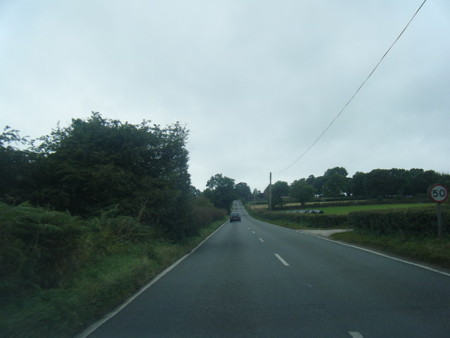
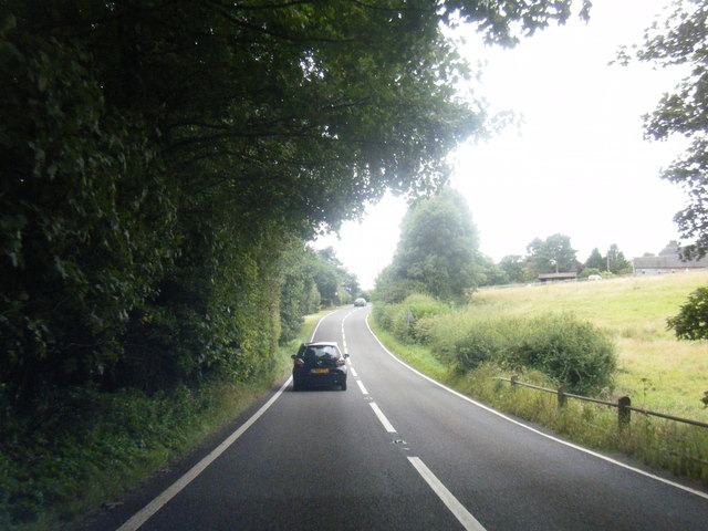
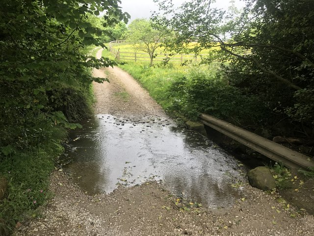
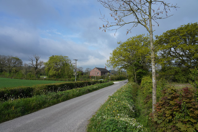
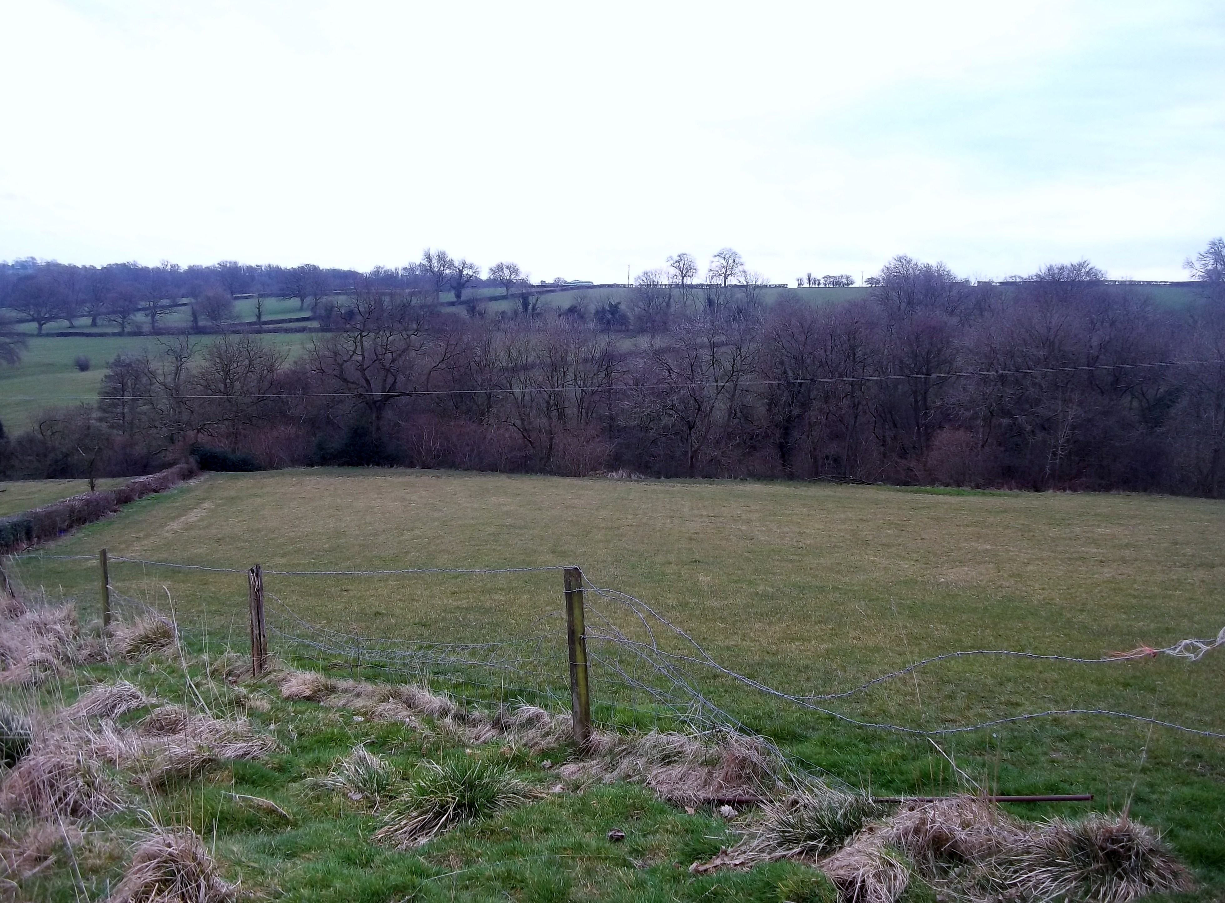
Osier Carr, located in Derbyshire, England, is a picturesque wood and forest area that offers visitors a peaceful and enchanting natural experience. Spanning approximately 200 acres, this woodland is a haven for nature enthusiasts, hikers, and wildlife lovers alike.
The wood is predominantly composed of a variety of deciduous trees such as oak, beech, and birch, creating a diverse and vibrant ecosystem. The forest floor is covered in a thick carpet of mosses, ferns, and wildflowers, adding to the area's beauty and charm. This rich vegetation provides a habitat for a wide range of wildlife, including deer, foxes, badgers, and numerous bird species.
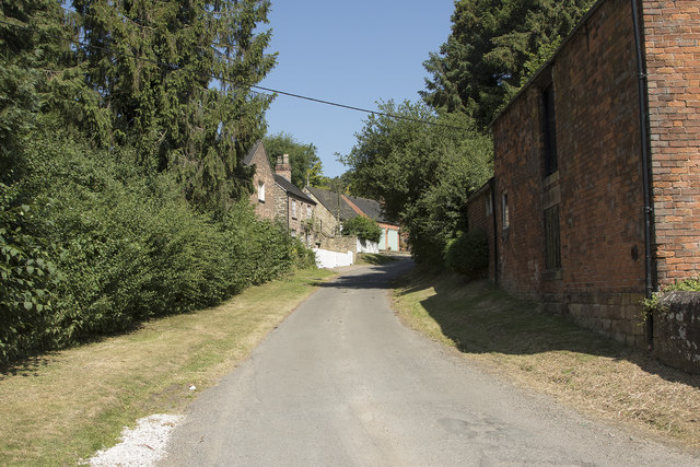
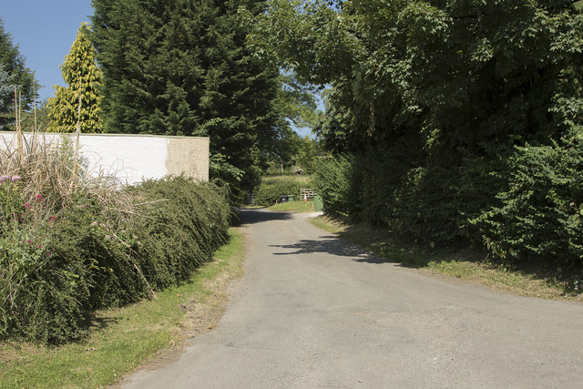
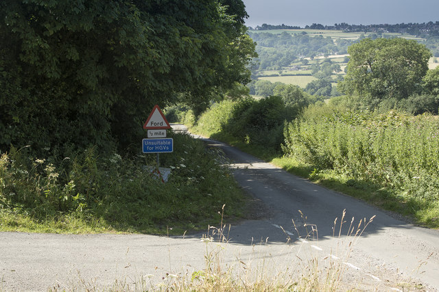
Visitors can explore Osier Carr via a network of well-maintained trails, allowing them to immerse themselves in the tranquil surroundings. The paths wind through the woods, offering glimpses of babbling brooks, small ponds, and hidden clearings. These secluded spots provide perfect opportunities for picnicking or simply enjoying the serenity of nature.
For those interested in learning more about the flora and fauna of Osier Carr, there are guided tours available, led by knowledgeable naturalists. These tours provide insights into the different species that inhabit the area and the importance of conservation efforts.
Osier Carr is easily accessible, with ample parking facilities and nearby amenities. It is a popular destination for both locals and tourists seeking a retreat from the hustle and bustle of city life. Whether one seeks solitude, a chance to reconnect with nature, or simply to enjoy a leisurely stroll, Osier Carr offers a truly enchanting experience for all who visit.
If you have any feedback on the listing, please let us know in the comments section below.
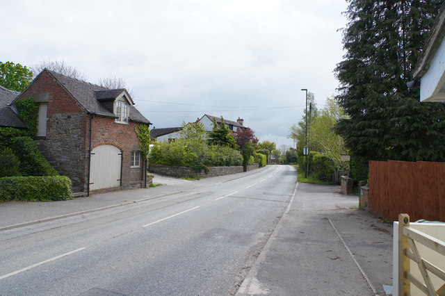
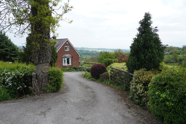
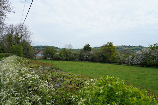
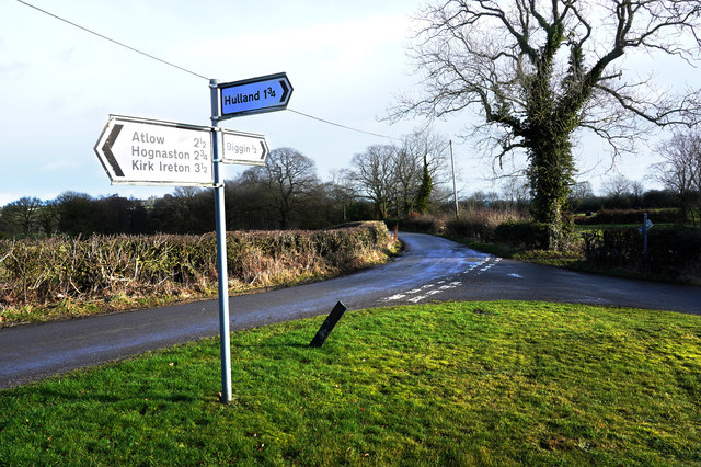
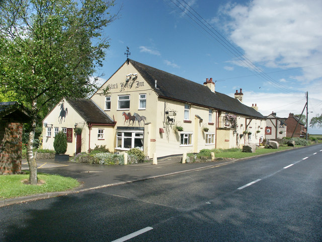
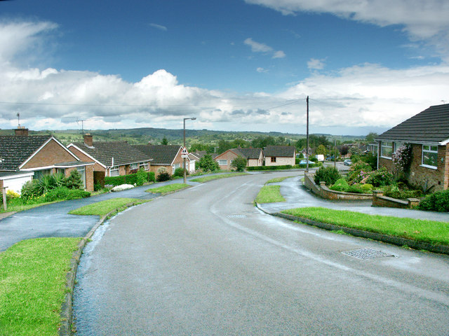
Osier Carr Images
Images are sourced within 2km of 53.024087/-1.6090822 or Grid Reference SK2647. Thanks to Geograph Open Source API. All images are credited.
Osier Carr is located at Grid Ref: SK2647 (Lat: 53.024087, Lng: -1.6090822)
Administrative County: Derbyshire
District: Derbyshire Dales
Police Authority: Derbyshire
What 3 Words
///spouse.feathers.edges. Near Wirksworth, Derbyshire
Nearby Locations
Related Wikis

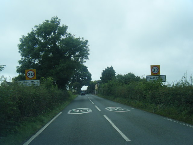
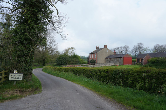
Hulland Ward
Hulland Ward is a village and civil parish in the Derbyshire Dales district of Derbyshire roughly 6 miles west of Belper, Derbyshire England on the A517...

Biggin by Hulland
Biggin is a village and civil parish in the Derbyshire Dales district of Derbyshire, England, near Hulland and just off the A517 road. In the 2011 census...
Sheep Hills, Derbyshire
Sheep Hills is a place near Biggin in Derbyshire, United Kingdom. It is mainly a rural area, its geographical context is described as farm, grassland and...
Hulland
Hulland is a village and civil parish in the Derbyshire Dales district of Derbyshire, England, adjoining the A517 road. It had a population of 215 according...
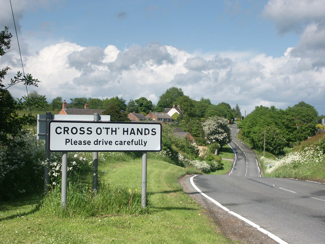
Cross o' th' Hands
Cross o' th' Hands is a small area of settlement in Derbyshire, England, 10 miles (16 km) north-west of Derby on the A517 road between Hulland and Turnditch...

Idridgehay
Idridgehay is a village in the civil parish of Idridgehay and Alton, in the Amber Valley district of Derbyshire, England. The population of this parish...

Holy Trinity Church, Kirk Ireton
Holy Trinity Church, Kirk Ireton, is a Grade I listed parish church in the Church of England in Kirk Ireton, Derbyshire. == History == The church dates...
Idridgehay railway station
Idridgehay railway station is an intermediate station on the former Midland Railway branch line to the town of Wirksworth in Derbyshire. Off the Midland...
Nearby Amenities
Located within 500m of 53.024087,-1.6090822Have you been to Osier Carr?
Leave your review of Osier Carr below (or comments, questions and feedback).