Belle Vue

Settlement in Cumberland Allerdale

England

Belle Vue

Former field boundary The remnants of a former field boundary can be identified by the partial row of trees, possibly part of a former hedge, on grassland near Priests Bridge.
Former field boundary Credit: Graham Robson

Belle Vue is a small village located in the county of Cumberland, in the northwestern part of England. Situated amidst the picturesque countryside, the village is known for its serene and idyllic setting. With a population of around 500 residents, Belle Vue exudes a close-knit community atmosphere.

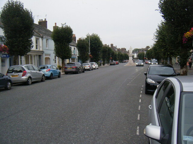
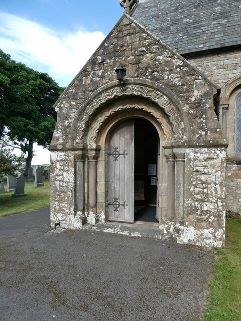
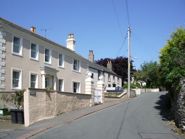
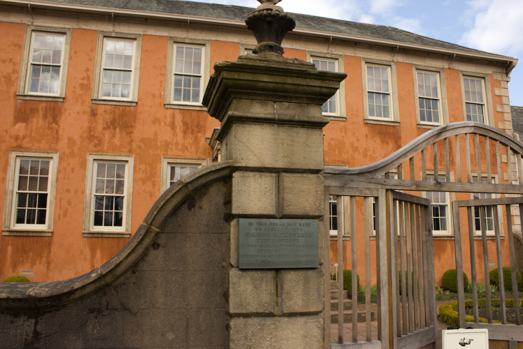
The village is characterized by its charming stone houses, lined neatly along the narrow streets. The architecture reflects the traditional English style, giving Belle Vue a timeless appeal. The village church, St. Mary's, is a prominent feature, with its striking bell tower and beautiful stained glass windows.

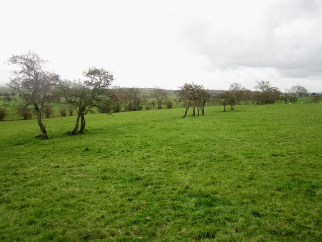
Surrounded by rolling hills and vast meadows, Belle Vue offers stunning natural landscapes. The countryside is dotted with farms and grazing livestock, adding to the rustic charm of the area. Walking trails and footpaths are plentiful, providing opportunities for outdoor enthusiasts to explore the surrounding beauty.

Despite its small size, Belle Vue has a strong community spirit. The village hosts various events throughout the year, including summer fairs, community gatherings, and annual festivals. These occasions bring residents together and foster a sense of belonging.

Basic amenities such as a village shop, a post office, and a local pub can be found in Belle Vue, ensuring the convenience of its residents. For additional services and entertainment, the nearby town of Carlisle is easily accessible.

In conclusion, Belle Vue is a quaint and picturesque village in Cumberland, England. With its charming architecture, stunning natural surroundings, and tight-knit community, Belle Vue offers a peaceful and welcoming retreat for both residents and visitors alike.

If you have any feedback on the listing, please let us know in the comments section below.
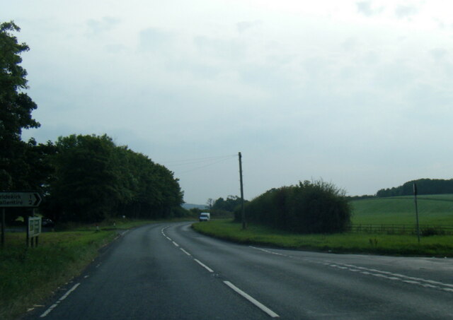
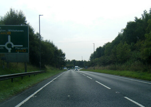
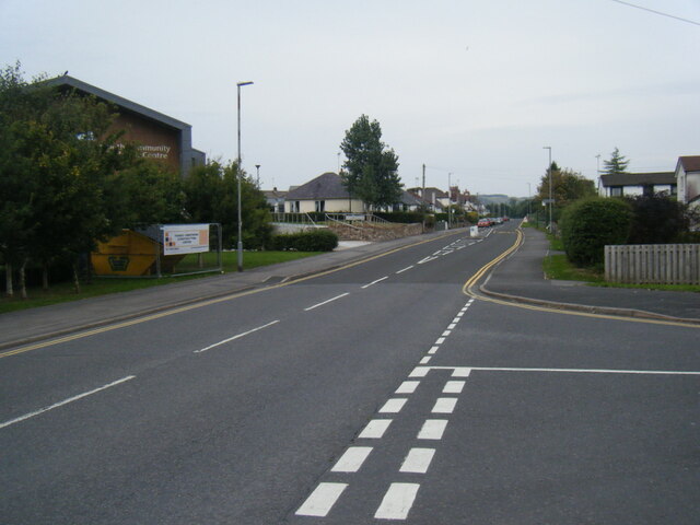
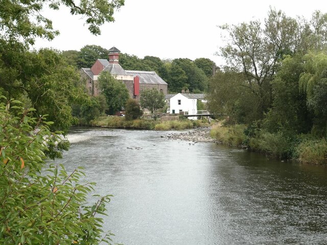
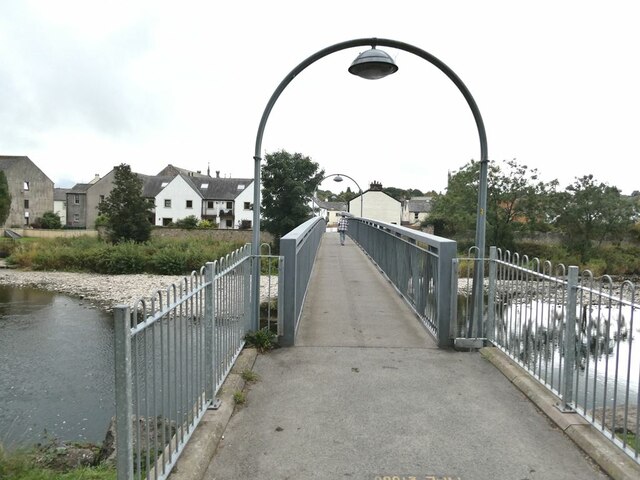
Belle Vue Images

Images are sourced within 2km of 54.672973/-3.379329 or Grid Reference NY1131. Thanks to Geograph Open Source API. All images are credited.

Former field boundary The remnants of a former field boundary can be identified by the partial row of trees, possibly part of a former hedge, on grassland near Priests Bridge.
Former field boundary
The remnants of a former field boundary can be identified by the partial row of trees, possibly part of a former hedge, on grassland near Priests Bridge.
Looking across grassland to Thomas Wood Looking across grassland to Thomas Wood.
Looking across grassland to Thomas Wood
Looking across grassland to Thomas Wood.
Footpath alongside the River Derwent A public footpath follows the grassy northern bank of the River Derwent between Great Broughton and Papcastle.
Footpath alongside the River Derwent
A public footpath follows the grassy northern bank of the River Derwent between Great Broughton and Papcastle.
Looking upstream along the River Derwent Looking upstream along the River Derwent from the public footpath which runs alongside the river bank between Great Broughton and Papcastle.
Looking upstream along the River Derwent
Looking upstream along the River Derwent from the public footpath which runs alongside the river bank between Great Broughton and Papcastle.
Minor stream close to joining the River Derwent Looking at minor stream from a footbridge over it just before it joins the River Derwent. The watercourse is unnamed on Ordnance Survey maps.
Minor stream close to joining the River Derwent
Looking at minor stream from a footbridge over it just before it joins the River Derwent. The watercourse is unnamed on Ordnance Survey maps.
Arable land alongside the River Derwent An autumn sown cereal crop growing on arable land adjacent to the River Derwent.
Arable land alongside the River Derwent
An autumn sown cereal crop growing on arable land adjacent to the River Derwent.
Once a Mental Hospital, now converted to an Old People's Home
A595 near Lonning Farm
A595 at Anns Hill lane junction
A595 nears Cockermouth roundabout
Castlegate Drive near Cockermouth Hospital
Main Street, Cockermouth
South door to St Bridget's Church, Bridekirk The original church dated 1130 was replaced by the present structure in 1868. The new church incorporates a number of features from the design of the old church, including this neo-Norman arch at the south door.
South door to St Bridget's Church, Bridekirk
The original church dated 1130 was replaced by the present structure in 1868. The new church incorporates a number of features from the design of the old church, including this neo-Norman arch at the south door.
The font in St Bridget's Church, Bridekirk Housed now in the current 19th Century Church, this elaborate font probably came from the original church and may well date back to Norman times.
The font in St Bridget's Church, Bridekirk
Housed now in the current 19th Century Church, this elaborate font probably came from the original church and may well date back to Norman times.
Roman fragment in St Bridget's Church
River Derwent at Cockermouth In the middle distance, the confluence <a href="https://www.geograph.org.uk/gridref/NY1230">NY1230</a> of the Cocker (to the right) with the Derwent. Jennings Brewery beyond.
River Derwent at Cockermouth
In the middle distance, the confluence NY1230 of the Cocker (to the right) with the Derwent. Jennings Brewery beyond.
Miller's Bridge over the River Derwent Looking towards town. The bridge was opened by HRH the Princess Royal in July 2010.
Miller's Bridge over the River Derwent
Looking towards town. The bridge was opened by HRH the Princess Royal in July 2010.
Show me another place!

Belle Vue is located at Grid Ref: NY1131 (Lat: 54.672973, Lng: -3.379329)

Administrative County: Cumbria

District: Allerdale

Police Authority: Cumbria

What 3 Words

///cabs.club.vision. Near Cockermouth, Cumbria

Nearby Locations

Papcastle Belle Vue

Related Wikis

Papcastle

Papcastle is a village and civil parish in the borough of Allerdale in the English county of Cumbria. The village is now effectively a northern extension...

Cockermouth railway station (Cockermouth and Workington Railway)

The original Cockermouth railway station was the eastern terminus of the Cockermouth & Workington Railway. It served the town of Cockermouth, Cumbria,...

Wordsworth House

Wordsworth House is a Georgian townhouse situated in Cockermouth, Cumbria, England, and in the ownership of the National Trust. It was built in the mid...

Cockermouth Rural District

Cockermouth was a rural district in Cumberland, England, from 1894 to 1974. It was created by the Local Government Act 1894 based on Cockermouth rural...

Nearby Amenities

Located within 500m of 54.672973,-3.379329
Papcastle
Place: village
Source: npe
Lat/Long: 54.6697137/-3.3808596
Turning Circle
Source: Bing
Lat/Long: 54.66912/-3.3807749
Turning Circle
Lat/Long: 54.6697809/-3.3796295
Bus Stop
Goat Brow (S bound)
Naptan AtcoCode: 090002223858
Naptan Bearing: S
Naptan BusStopType: CUS
Naptan CommonName: Goat Brow (S bound)
Naptan Indicator: near
Naptan Landmark: Hill Crest
Naptan NaptanCode: cumadpdp
Naptan Street: Belle Vue
Naptan Verified: no
Source: naptan_import
Lat/Long: 54.672477/-3.3749993
Bus Stop
Goat Brow (N bound)
Naptan AtcoCode: 090002223859
Naptan Bearing: N
Naptan BusStopType: CUS
Naptan CommonName: Goat Brow (N bound)
Naptan Indicator: near
Naptan Landmark: Hill Crest
Naptan NaptanCode: cumadpdt
Naptan Street: Belle Vue
Naptan Verified: no
Source: naptan_import
Lat/Long: 54.6724474/-3.3752309
Bus Stop
Post Office (N bound)
Naptan AtcoCode: 090002450394
Naptan Bearing: N
Naptan CommonName: Post Office (N bound)
Naptan Indicator: opp
Naptan Landmark: the Post Office
Naptan NaptanCode: cumagjpj
Naptan Street: No name
Naptan Verified: no
Source: naptan_import
Lat/Long: 54.6705013/-3.3803911
Bus Stop
Old Orchard Rd
Naptan AtcoCode: 090002451151
Naptan Bearing: N
Naptan BusStopType: CUS
Naptan CommonName: Old Orchard Rd
Naptan Indicator: opp
Naptan Landmark: River Dene
Naptan NaptanCode: cumagjpm
Naptan Street: Old Orchard Road
Naptan Verified: no
Source: naptan_import
Lat/Long: 54.6690048/-3.3823718
Bus Stop
Belle Vue PH
Naptan AtcoCode: 090002451152
Naptan Bearing: W
Naptan BusStopType: CUS
Naptan CommonName: Belle Vue PH
Naptan Indicator: opp
Naptan Landmark: the Belle Vue PH
Naptan NaptanCode: cumagjpt
Naptan Street: No name
Naptan Verified: no
Source: naptan_import
Lat/Long: 54.6728324/-3.3781838
Bus Stop
The Belle Vue
Naptan AtcoCode: 090002453382
Naptan Bearing: E
Naptan BusStopType: CUS
Naptan CommonName: The Belle Vue
Naptan Indicator: opp
Naptan Landmark: The Belle Vue Pub
Naptan NaptanCode: cumagjpw
Naptan Street: No name
Naptan Verified: no
Source: naptan_import
Lat/Long: 54.6729029/-3.3782171
Bus Stop
Garden View
Naptan AtcoCode: 090002453383
Naptan Bearing: SE
Naptan BusStopType: CUS
Naptan CommonName: Garden View
Naptan Indicator: o/s
Naptan Landmark: The Hawthornes
Naptan NaptanCode: cumagjta
Naptan Street: Old Orchard Road
Naptan Verified: no
Source: naptan_import
Lat/Long: 54.6690608/-3.3821876
Bus Stop
Post Office (S bound)
Naptan AtcoCode: 090002453384
Naptan Bearing: S
Naptan BusStopType: CUS
Naptan CommonName: Post Office (S bound)
Naptan Indicator: o/s
Naptan Landmark: Post Office
Naptan NaptanCode: cumagjtd
Naptan Street: No name
Naptan Verified: no
Source: naptan_import
Lat/Long: 54.6704765/-3.3802042
Post Box
Ref: CA13 80
Lat/Long: 54.6729215/-3.3780158
Telephone
Defibrillator
Booth: KX100
Covered: booth
Defibrillator Location: inside old phone box in Papcastle
Emergency: defibrillator
Man Made: telephone_box
Lat/Long: 54.6698656/-3.3807399
Post Box
Ref: CA13 142
Lat/Long: 54.6705716/-3.3802127
Grit Bin
Lat/Long: 54.6706175/-3.380187
Post Box
Post Box Type: lamp
Ref: CA13 175
Royal Cypher: EIIR
Royal Cypher Wikidata: Q33102113
Lat/Long: 54.6690283/-3.3823412
Belle Vue
Place: locality
Lat/Long: 54.6733913/-3.3783459
Bench
Lat/Long: 54.66975/-3.3805737
Natural: tree_stump
Lat/Long: 54.6704127/-3.3758532
Power: pole
Lat/Long: 54.6707464/-3.3845325
Power: pole
Lat/Long: 54.6716093/-3.3844457
Power: pole
Lat/Long: 54.672152/-3.3831415
Power: pole
Lat/Long: 54.6726886/-3.3818497
Power: pole
Lat/Long: 54.6725882/-3.3805248
Power: pole
Lat/Long: 54.6724508/-3.3788217
Power: pole
Lat/Long: 54.671595/-3.3771062
Power: pole
Lat/Long: 54.6715639/-3.3719823
Power: pole
Lat/Long: 54.6720695/-3.3741898
Power: pole
Lat/Long: 54.6718735/-3.375494
Power: pole
Lat/Long: 54.6714229/-3.3782554
Power: pole
Lat/Long: 54.6712018/-3.3796547
Power: pole
Lat/Long: 54.6722619/-3.3729434
Power: pole
Lat/Long: 54.6730639/-3.3740823
Power: pole
Lat/Long: 54.6738706/-3.3752005
Power: pole
Lat/Long: 54.6744765/-3.3760645
Power: pole
Lat/Long: 54.6750741/-3.3768912
Power: pole
Lat/Long: 54.6757446/-3.3773873
Power: pole
Lat/Long: 54.6763839/-3.3778337
Power: pole
Lat/Long: 54.6770304/-3.3782967
The data included in this document is from www.openstreetmap.org. The data is made available under ODbL.

Have you been to Belle Vue?

Leave your review of Belle Vue below (or comments, questions and feedback).