Belle Vale

Settlement in Worcestershire

England

Belle Vale

Hare & Hounds, Hasbury
Hare & Hounds, Hasbury Credit: Chris Whippet

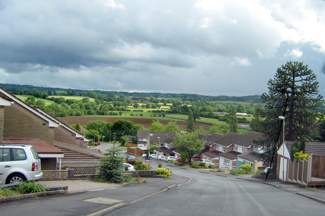
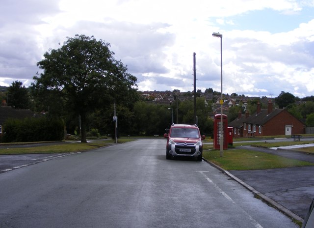
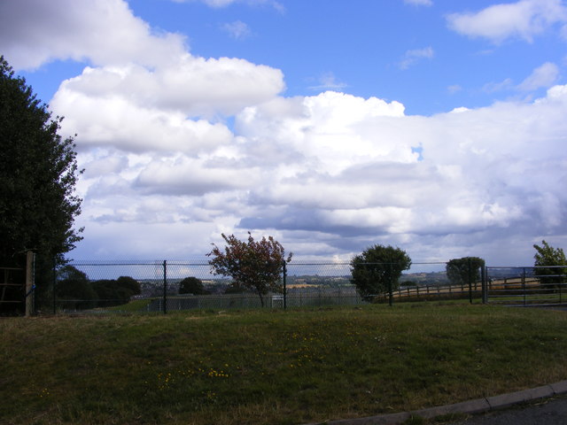
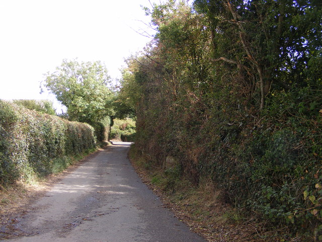
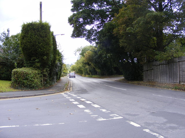
Belle Vale is a small village located in the county of Worcestershire, England. Situated in the heart of the West Midlands, Belle Vale is surrounded by picturesque countryside and offers a tranquil and idyllic setting for its residents.

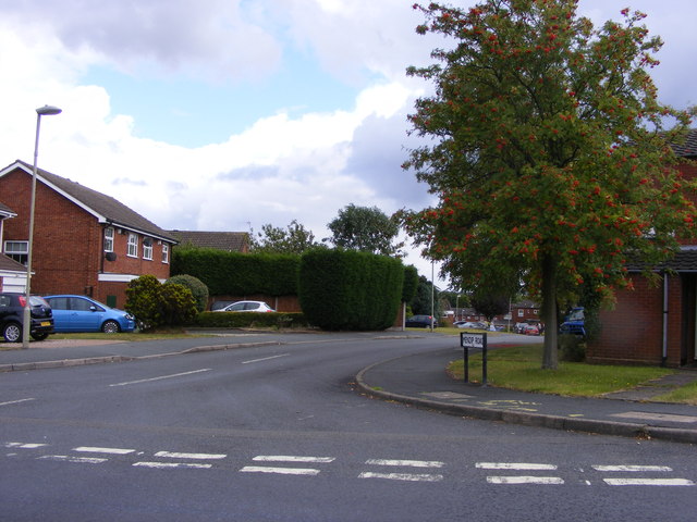
The village is known for its charming rural character, with quaint cottages and traditional architecture that reflects its long history. Belle Vale has a population of approximately 500 residents, creating a tight-knit and close community atmosphere.

Despite being a small village, Belle Vale boasts several amenities and services for its residents. These include a local convenience store, a post office, and a village hall that serves as a hub for community events and gatherings. Additionally, Belle Vale is home to a primary school, providing education for the younger members of the community.

The surrounding area of Belle Vale offers ample opportunities for outdoor activities and exploration. The village is surrounded by rolling hills and verdant meadows, making it a haven for hikers, cyclists, and nature enthusiasts. The nearby countryside also provides a range of wildlife, including various bird species and small mammals.

Belle Vale is well-connected to neighboring towns and cities, with good road links to Worcester, Kidderminster, and Redditch. The village also benefits from a regular bus service, allowing residents to easily access wider amenities and attractions.

Overall, Belle Vale is a charming and peaceful village, offering a close-knit community and a wonderful natural environment for residents and visitors alike.

If you have any feedback on the listing, please let us know in the comments section below.
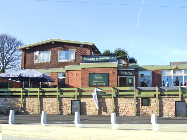
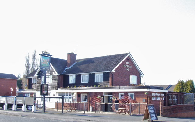
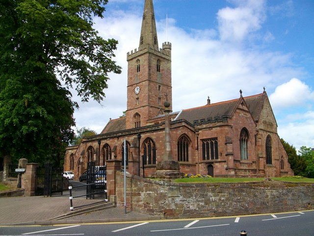
Belle Vale Images

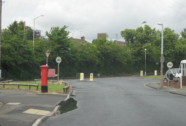
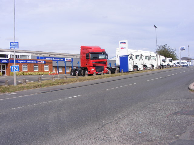
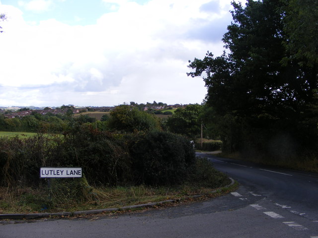
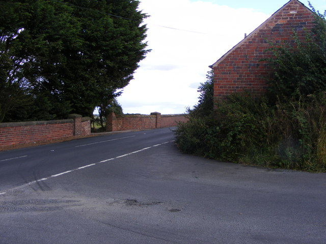
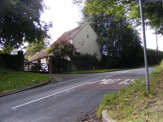
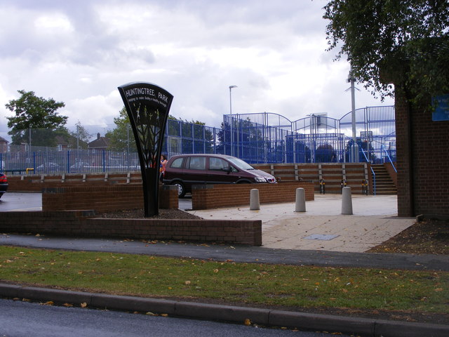
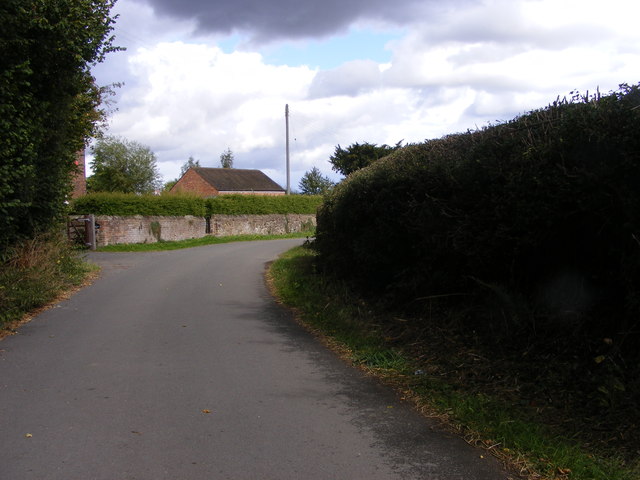
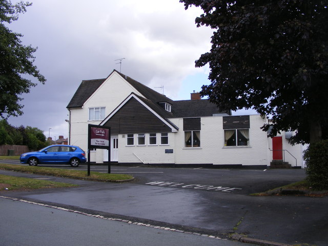
Images are sourced within 2km of 52.45393/-2.0750046 or Grid Reference SO9584. Thanks to Geograph Open Source API. All images are credited.

Hare & Hounds, Hasbury
The Hasbury Inn, Halesowen
St John The Baptist, Parish church of Halesowen Halesowen Parish Church is a Town Centre Church in the fast-changing town of Halesowen with a 1,000 year history as a Grade 1 listed building.
The second most important historical building in Dudley Metropolitan Borough it was opened in 1083, and had been in central use ever since
St John The Baptist, Parish church of Halesowen
Halesowen Parish Church is a Town Centre Church in the fast-changing town of Halesowen with a 1,000 year history as a Grade 1 listed building. The second most important historical building in Dudley Metropolitan Borough it was opened in 1083, and had been in central use ever since
Halesowen - Pershore Road
Halesowen - Uffmoor Lane Looking Towards Hagley Road
Trucks at The Hayes The view on the A458 near Lye of Daf trucks at Imperial Commercials.
Trucks at The Hayes
The view on the A458 near Lye of Daf trucks at Imperial Commercials.
New Gateway The Gate on Belle Vale road alongside the River Stour in the Congreaves Nature Reserve. The Gateway is being renovated. Old Gateway <a href="https://www.geograph.org.uk/photo/1537783">SO9584 : Old Gateway</a>
New Gateway
The Gate on Belle Vale road alongside the River Stour in the Congreaves Nature Reserve. The Gateway is being renovated. Old Gateway SO9584 : Old Gateway
Lutley Lane View The Lutley view on the edge of Halesowen.
Lutley Lane View
The Lutley view on the edge of Halesowen.
Wynall Lane South Junction The junction with Wassell Grove Road in Dudley.
Wynall Lane South Junction
The junction with Wassell Grove Road in Dudley.
Lutley Lane Junction The view near Four Elms Farm, Lutley Dudley.
Lutley Lane Junction
The view near Four Elms Farm, Lutley Dudley.
Huntingtree Park The park off Huntingtree Road Hasbury near Halesowen.
Huntingtree Park
The park off Huntingtree Road Hasbury near Halesowen.
Lutley Lane The view at Lutley near Grange Farm on the south edge of Dudley.
Lutley Lane
The view at Lutley near Grange Farm on the south edge of Dudley.
The Maypole The Pub on the corner of Bassnage road and Foxhunt Road Halesowen.
The Maypole
The Pub on the corner of Bassnage road and Foxhunt Road Halesowen.
Bassnage Road The view down the Halesowen road near Leebank Road.
Bassnage Road
The view down the Halesowen road near Leebank Road.
Wassell Grove Road View The view west over the reservoir near Lye Dudley.
Wassell Grove Road View
The view west over the reservoir near Lye Dudley.
Lutley Lane Scene The narrow lane near Grange Farm Lutley.
Lutley Lane Scene
The narrow lane near Grange Farm Lutley.
Lutley Lane View The view from Portsdown Road near Halesowen.
Lutley Lane View
The view from Portsdown Road near Halesowen.
Mendip Road The view off Portsdown Road near Halesowen.
Mendip Road
The view off Portsdown Road near Halesowen.
Show me another place!

Belle Vale is located at Grid Ref: SO9584 (Lat: 52.45393, Lng: -2.0750046)

Unitary Authority: Dudley

Police Authority: West Midlands

What 3 Words

///latter.holly.skips. Near Halesowen, West Midlands

Nearby Locations

Briery Coppice Belle Vale

Related Wikis

Colley Gate

Colley Gate is an area within Cradley and also a road in Cradley in Halesowen, England. Colley Gate is the name of the road between Windmill Hill and Greenways...

Cradley, West Midlands

Cradley () is a village in the Black Country and Metropolitan Borough of Dudley near Halesowen and the banks of the River Stour. Colley Gate is the name...

Cradley Town F.C.

Cradley Town Football Club is a football club based in Cradley, near Halesowen in the West Midlands. They are currently members of the Midland League Division...

Shropshire (Detached)

Between the late 11th century and 1844, the English county of Shropshire (or Salop) possessed a large exclave within the present-day Black Country and...

Nearby Amenities

Located within 500m of 52.45393,-2.0750046
Bus Stop
Witley Ave / Hanley Close
Bus: yes
Naptan AtcoCode: 43000806401
Naptan Bearing: N
Naptan BusStopType: MKD
Naptan CommonName: Hanley Close
Naptan Indicator: adj
Naptan NaptanCode: nwmjtadg
Naptan PlusbusZoneRef: BHAMNWS
Naptan Status: ACT
Naptan StopType: BCT
Naptan Street: WITLEY AVE
Naptan Towards: Stourbridge
Public Transport: platform
Route Ref: 17;142
Shelter: no
Source: WMCA
Towards: Stourbridge
Lat/Long: 52.4527117/-2.0701778
Bus Stop
Witley Ave / Hanley Close
Bus: yes
Naptan AtcoCode: 43000806402
Naptan Bearing: SW
Naptan BusStopType: MKD
Naptan CommonName: Hanley Close
Naptan Indicator: opp
Naptan NaptanCode: nwmjtadj
Naptan PlusbusZoneRef: BHAMNWS
Naptan Status: ACT
Naptan StopType: BCT
Naptan Street: WITLEY AVE
Naptan Towards: Halesowen
Public Transport: platform
Route Ref: 17;142
Shelter: no
Source: WMCA
Towards: Halesowen
Lat/Long: 52.4519246/-2.0711881
Bus Stop
Stourbridge Rd / Witley Avenue
NaPTANAreaCode: 43000806701
Asset Ref: 408534
Bus: yes
Naptan AtcoCode: 43000806701
Naptan Bearing: E
Naptan BusStopType: MKD
Naptan CommonName: Witley Avenue
Naptan Indicator: opp
Naptan NaptanCode: nwmdjgmp
Naptan PlusbusZoneRef: BHAMNWS
Naptan Status: ACT
Naptan StopType: BCT
Naptan Street: STOURBRIDGE RD
Naptan Towards: Halesowen
Public Transport: platform
Route Ref: 9;13;002;004
Shelter: yes
Shelter Ref: 408534
Source: WMCA
Towards: Halesowen
Lat/Long: 52.4549239/-2.0704039
Bus Stop
Stourbridge Rd / Witley Avenue
Bus: yes
Naptan AtcoCode: 43000806702
Naptan Bearing: W
Naptan BusStopType: MKD
Naptan CommonName: Witley Avenue
Naptan Indicator: adj
Naptan NaptanCode: nwmdjgmt
Naptan PlusbusZoneRef: BHAMNWS
Naptan Status: ACT
Naptan StopType: BCT
Naptan Street: STOURBRIDGE RD
Naptan Towards: Stourbridge
Naptan Verified: no
Public Transport: platform
Route Ref: 9;13;002;004
Shelter: no
Source: WMCA
Lat/Long: 52.4548992/-2.0692803
Bus Stop
Stourbridge Rd / Belle Vale
NaPTANAreaCode: 43000806801
Asset Ref: 408507
Bus: yes
Layby: yes
Naptan AtcoCode: 43000806801
Naptan Bearing: NW
Naptan BusStopType: MKD
Naptan CommonName: Belle Vale
Naptan Indicator: opp
Naptan NaptanCode: nwmdjgmw
Naptan PlusbusZoneRef: BHAMNWS
Naptan Status: ACT
Naptan StopType: BCT
Naptan Street: STOURBRIDGE RD
Naptan Towards: Stourbridge
Public Transport: platform
Route Ref: 9;13;002;004;142
Shelter: yes
Shelter Ref: 408507
Source: WMCA
Lat/Long: 52.4546186/-2.0742556
Bus Stop
Stourbridge Rd / Belle Vale
NaPTANAreaCode: 43000806802
Asset Ref: 0806802
Bus: yes
Layby: yes
Naptan AtcoCode: 43000806802
Naptan Bearing: E
Naptan BusStopType: MKD
Naptan CommonName: Belle Vale
Naptan Indicator: adj
Naptan NaptanCode: nwmdjgpa
Naptan PlusbusZoneRef: BHAMNWS
Naptan Status: ACT
Naptan StopType: BCT
Naptan Street: STOURBRIDGE RD
Naptan Towards: Halesowen
Public Transport: platform
Route Ref: 9;13;17;002;004;142
Shelter: yes
Shelter Ref: 0806802
Source: WMCA
Lat/Long: 52.4546572/-2.0736484
Bus Stop
Belle Vale / Harden Vale
Bus: yes
Naptan AtcoCode: 43000807001
Naptan Bearing: SW
Naptan BusStopType: CUS
Naptan CommonName: Harden Vale
Naptan Indicator: opp
Naptan NaptanCode: nwmtdgdj
Naptan PlusbusZoneRef: BHAMNWS
Naptan Status: ACT
Naptan StopType: BCT
Naptan Street: BELLE VALE
Naptan Towards: Cradley Heath
Naptan Verified: no
Public Transport: platform
Route Ref: 17
Source: WMCA
Lat/Long: 52.4564003/-2.0718523
Bus Stop
Belle Vale / Harden Vale
Bus: yes
Naptan AtcoCode: 43000807002
Naptan Bearing: NE
Naptan BusStopType: CUS
Naptan CommonName: Harden Vale
Naptan Indicator: adj
Naptan NaptanCode: nwmtdgdm
Naptan PlusbusZoneRef: BHAMNWS
Naptan Status: ACT
Naptan StopType: BCT
Naptan Street: BELLE VALE
Naptan Towards: Halesowen
Naptan Verified: no
Public Transport: platform
Route Ref: 17
Source: WMCA
Lat/Long: 52.4562887/-2.0721702
Bus Stop
Dunstall Rd / Huntingtree Rd
NaPTANAreaCode: 43000807701
Asset Ref: 408526
Bus: yes
Naptan AtcoCode: 43000807701
Naptan Bearing: NE
Naptan BusStopType: MKD
Naptan CommonName: Huntingtree Rd
Naptan Indicator: before
Naptan NaptanCode: nwmdjgtw
Naptan PlusbusZoneRef: BHAMNWS
Naptan Status: ACT
Naptan StopType: BCT
Naptan Street: DUNSTALL RD
Naptan Towards: Stourbridge
Public Transport: platform
Route Ref: 142
Shelter: yes
Shelter Ref: 408526
Source: WMCA
Towards: Stourbridge
Lat/Long: 52.4506097/-2.0732572
Bus Stop
Dunstall Rd / Huntingtree Rd
NaPTANAreaCode: 43000807702
Asset Ref: 408525
Bus: yes
Naptan AtcoCode: 43000807702
Naptan Bearing: SW
Naptan BusStopType: MKD
Naptan CommonName: Huntingtree Rd
Naptan Indicator: after
Naptan NaptanCode: nwmdjgwa
Naptan PlusbusZoneRef: BHAMNWS
Naptan Status: ACT
Naptan StopType: BCT
Naptan Street: DUNSTALL RD
Naptan Towards: Halesowen
Public Transport: platform
Route Ref: 4H;142
Shelter: yes
Shelter Ref: 408525
Source: WMCA
Towards: Halesowen
Lat/Long: 52.4504438/-2.0733629
Bus Stop
Colman Hill / Claines Rd
Bus: yes
Naptan AtcoCode: 43000810301
Naptan Bearing: E
Naptan BusStopType: MKD
Naptan CommonName: Claines Rd
Naptan Indicator: adj
Naptan NaptanCode: nwmjtamj
Naptan PlusbusZoneRef: BHAMNWS
Naptan Status: ACT
Naptan StopType: BCT
Naptan Street: COLMAN HILL
Naptan Towards: Cradley Heath
Public Transport: platform
Route Ref: 14
Source: WMCA
Towards: Cradley Heath
Lat/Long: 52.4574709/-2.0756834
Bus Stop
Colman Hill / Claines Rd
Bus: yes
Naptan AtcoCode: 43000810302
Naptan Bearing: W
Naptan BusStopType: MKD
Naptan CommonName: Claines Rd
Naptan Indicator: opp
Naptan NaptanCode: nwmtjpdm
Naptan PlusbusZoneRef: BHAMNWS
Naptan Status: ACT
Naptan StopType: BCT
Naptan Street: COLMAN HILL
Naptan Towards: Fatherless Barn
Public Transport: platform
Route Ref: 14
Shelter: no
Source: WMCA
Towards: Stourbridge
Lat/Long: 52.4574404/-2.0745525
Bus Stop
Colman Hill / Drews Holloway
Bus: yes
Naptan AtcoCode: 43000810401
Naptan Bearing: E
Naptan BusStopType: MKD
Naptan CommonName: Drews Holloway
Naptan Indicator: before
Naptan NaptanCode: nwmjtamp
Naptan PlusbusZoneRef: BHAMNWS
Naptan Status: ACT
Naptan StopType: BCT
Naptan Street: COLMAN HILL
Naptan Towards: Cradley Heath
Note: sign reads "and opposite"
Public Transport: platform
Route Ref: 14
Shelter: no
Source: WMCA
Lat/Long: 52.4572395/-2.0780362
Bus Stop
Colman Hill / Drews Holloway
Bus: yes
Naptan AtcoCode: 43000810402
Naptan Bearing: W
Naptan BusStopType: CUS
Naptan CommonName: Drews Holloway
Naptan Indicator: before
Naptan NaptanCode: nwmtwtja
Naptan PlusbusZoneRef: BHAMNWS
Naptan Status: ACT
Naptan StopType: BCT
Naptan Street: COLMAN HILL
Naptan Towards: Stourbridge
Naptan Verified: no
Public Transport: platform
Route Ref: 14
Source: WMCA
Lat/Long: 52.4571447/-2.0782793
Bus Stop
Abbey Rd / Abbey Crescent
Bus: yes
Naptan AtcoCode: 43000813501
Naptan Bearing: NE
Naptan BusStopType: CUS
Naptan CommonName: Abbey Crescent
Naptan Indicator: adj
Naptan NaptanCode: nwmjtawa
Naptan PlusbusZoneRef: BHAMNWS
Naptan Status: ACT
Naptan StopType: BCT
Naptan Street: ABBEY RD
Naptan Towards: Cradley Heath
Naptan Verified: no
Public Transport: platform
Route Ref: 13
Source: WMCA
Lat/Long: 52.4527912/-2.0804872
Bus Stop
Witley Ave / Stourbridge Rd
Bus: yes
Naptan AtcoCode: 43008080102
Naptan Bearing: S
Naptan BusStopType: MKD
Naptan CommonName: Stourbridge Rd
Naptan Indicator: adj
Naptan NaptanCode: nwmpmjtm
Naptan PlusbusZoneRef: BHAMNWS
Naptan Status: ACT
Naptan StopType: BCT
Naptan Street: WITLEY AVE
Naptan Towards: Halesowen
Public Transport: platform
Route Ref: 17;142
Shelter: no
Source: WMCA
Lat/Long: 52.4545375/-2.0698903
Bus Stop
Witley Ave / Stourbridge Rd
Bus: yes
Naptan AtcoCode: 43008080104
Naptan Bearing: N
Naptan BusStopType: MKD
Naptan CommonName: Stourbridge Rd
Naptan Indicator: adj
Naptan NaptanCode: nwmpmjtp
Naptan PlusbusZoneRef: BHAMNWS
Naptan Status: ACT
Naptan StopType: BCT
Naptan Street: WITLEY AVE
Naptan Towards: Stourbridge
Naptan Verified: no
Public Transport: platform
Route Ref: 17;142
Shelter: no
Source: WMCA
Lat/Long: 52.4545924/-2.0700535
Barrier: bollard
Source: survey
Lat/Long: 52.45409/-2.072007
Barrier: bollard
Source: survey
Lat/Long: 52.4544742/-2.0719975
Costcutter
Addr Housenumber: 13
Addr Postcode: B63 4DU
Addr Street: Witley Avenue
Brand: Costcutter
Brand Wikidata: Q5175072
Brand Wikipedia: en:Costcutter
Fhrs Id: 1106622
Shop: convenience
Source: survey
Source Addr: FHRS Open Data
Lat/Long: 52.4537154/-2.0696837
Post Box
Postal Code: B63
Ref: B63 943
Source: GPS Survey
Lat/Long: 52.4507062/-2.0729591
Brand: National Grid
Brand Wikidata: Q1465461
Operator: National Grid Electricity Distribution Plc
Operator Old: Western Power Distribution
Operator Wikidata: Q7988183
Owner: National Grid Electricity Distribution (West Midlands) Plc
Owner Wikidata: Q114397791
Power: substation
Source: survey
Lat/Long: 52.4515535/-2.0707605
Man Made: tower
Operator: T-Mobile
Source: survey
Tower Type: communication
Lat/Long: 52.4543608/-2.0738521
Post Box
Post Box Type: pillar
Postal Code: B63
Ref: B63 795
Royal Cypher: EIIR
Source: GPS Survey
Lat/Long: 52.4546122/-2.0734236
Barrier: bollard
Source: survey
Lat/Long: 52.4549119/-2.0741739
Grit Bin
Source: survey
Lat/Long: 52.4561544/-2.0688108
Grit Bin
Source: survey
Lat/Long: 52.4547879/-2.0738903
Grit Bin
Source: survey
Lat/Long: 52.4571279/-2.069849
Brand: National Grid
Brand Wikidata: Q1465461
Operator: National Grid Electricity Distribution Plc
Operator Old: Western Power Distribution
Operator Wikidata: Q7988183
Owner: National Grid Electricity Distribution (West Midlands) Plc
Owner Wikidata: Q114397791
Power: substation
Ref: 11372
Source: survey
Lat/Long: 52.4575436/-2.0749372
Brand: National Grid
Brand Wikidata: Q1465461
Operator: National Grid Electricity Distribution Plc
Operator Old: Western Power Distribution
Operator Wikidata: Q7988183
Owner: National Grid Electricity Distribution (West Midlands) Plc
Owner Wikidata: Q114397791
Power: substation
Source: survey
Lat/Long: 52.4579144/-2.0720759
Grit Bin
Source: survey
Lat/Long: 52.4577474/-2.0739341
Grit Bin
Source: survey
Lat/Long: 52.4579794/-2.0755087
Turning Circle
Lat/Long: 52.4546801/-2.0733563
Grit Bin
Source: survey
Lat/Long: 52.4563015/-2.0713779
Grit Bin
Source: survey
Lat/Long: 52.4581749/-2.0726076
Grit Bin
Source: survey
Lat/Long: 52.4575403/-2.0737039
Grit Bin
Source: survey
Lat/Long: 52.4575403/-2.0721965
Bench
Source: survey
Lat/Long: 52.4579437/-2.0779081
Barrier: bollard
Source: survey
Lat/Long: 52.4566112/-2.0794649
Barrier: bollard
Source: survey
Lat/Long: 52.4563376/-2.0791795
Grit Bin
Source: survey
Lat/Long: 52.4561046/-2.0808681
Grit Bin
Source: survey
Lat/Long: 52.4544985/-2.0797501
Barrier: bollard
Source: survey
Lat/Long: 52.4544321/-2.0791427
Brand: National Grid
Brand Wikidata: Q1465461
Operator: National Grid Electricity Distribution Plc
Operator Old: Western Power Distribution
Operator Wikidata: Q7988183
Owner: National Grid Electricity Distribution (West Midlands) Plc
Owner Wikidata: Q114397791
Power: substation
Source: survey
Lat/Long: 52.4560998/-2.0769413
Grit Bin
Source: survey
Lat/Long: 52.4531248/-2.0810453
Grit Bin
Source: survey
Lat/Long: 52.4552908/-2.0817053
Brand: National Grid
Brand Wikidata: Q1465461
Operator: National Grid Electricity Distribution Plc
Operator Old: Western Power Distribution
Operator Wikidata: Q7988183
Owner: National Grid Electricity Distribution (West Midlands) Plc
Owner Wikidata: Q114397791
Power: substation
Ref: 11634
Source: survey
Lat/Long: 52.4542915/-2.0798361
Post Box
Ref: B63 1262
Source: GPS Survey
Lat/Long: 52.4540596/-2.0800898
Barrier: bollard
Source: survey
Lat/Long: 52.45372/-2.0819304
Crossing
Crossing: traffic_signals
Lat/Long: 52.4546201/-2.0739491
Generator Method: photovoltaic
Generator Output Electricity: yes
Generator Source: solar
Generator Type: solar_photovoltaic_panel
Location: roof
Power: generator
Lat/Long: 52.4539843/-2.0676345
Generator Method: photovoltaic
Generator Output Electricity: yes
Generator Source: solar
Generator Type: solar_photovoltaic_panel
Location: roof
Power: generator
Lat/Long: 52.4540153/-2.0677042
Generator Method: photovoltaic
Generator Output Electricity: yes
Generator Source: solar
Generator Type: solar_photovoltaic_panel
Location: roof
Power: generator
Lat/Long: 52.4530329/-2.0680502
Generator Method: photovoltaic
Generator Output Electricity: yes
Generator Source: solar
Generator Type: solar_photovoltaic_panel
Location: roof
Power: generator
Lat/Long: 52.4534073/-2.0683774
Generator Method: photovoltaic
Generator Output Electricity: yes
Generator Source: solar
Generator Type: solar_photovoltaic_panel
Location: roof
Power: generator
Lat/Long: 52.453775/-2.0681548
Generator Method: photovoltaic
Generator Output Electricity: yes
Generator Source: solar
Generator Type: solar_photovoltaic_panel
Location: roof
Power: generator
Lat/Long: 52.4538617/-2.0684096
Generator Method: photovoltaic
Generator Output Electricity: yes
Generator Source: solar
Generator Type: solar_photovoltaic_panel
Location: roof
Power: generator
Lat/Long: 52.4540709/-2.0678169
Generator Method: photovoltaic
Generator Output Electricity: yes
Generator Source: solar
Generator Type: solar_photovoltaic_panel
Location: roof
Power: generator
Lat/Long: 52.4541444/-2.0679724
Generator Method: photovoltaic
Generator Output Electricity: yes
Generator Source: solar
Generator Type: solar_photovoltaic_panel
Location: roof
Power: generator
Lat/Long: 52.4541853/-2.0680422
Generator Method: photovoltaic
Generator Output Electricity: yes
Generator Source: solar
Generator Type: solar_photovoltaic_panel
Location: roof
Power: generator
Lat/Long: 52.4542311/-2.0681387
Generator Method: photovoltaic
Generator Output Electricity: yes
Generator Source: solar
Generator Type: solar_photovoltaic_panel
Location: roof
Power: generator
Lat/Long: 52.4542621/-2.0682031
Generator Method: photovoltaic
Generator Output Electricity: yes
Generator Source: solar
Generator Type: solar_photovoltaic_panel
Location: roof
Power: generator
Lat/Long: 52.4543128/-2.0683077
Generator Method: photovoltaic
Generator Output Electricity: yes
Generator Source: solar
Generator Type: solar_photovoltaic_panel
Location: roof
Power: generator
Lat/Long: 52.4543438/-2.068356
Generator Method: photovoltaic
Generator Output Electricity: yes
Generator Source: solar
Generator Type: solar_photovoltaic_panel
Location: roof
Power: generator
Lat/Long: 52.4536459/-2.0689702
Generator Method: photovoltaic
Generator Output Electricity: yes
Generator Source: solar
Generator Type: solar_photovoltaic_panel
Location: roof
Power: generator
Lat/Long: 52.4536557/-2.0690507
Generator Method: photovoltaic
Generator Output Electricity: yes
Generator Source: solar
Generator Type: solar_photovoltaic_panel
Location: roof
Power: generator
Lat/Long: 52.4536786/-2.0691365
Generator Method: photovoltaic
Generator Output Electricity: yes
Generator Source: solar
Generator Type: solar_photovoltaic_panel
Location: roof
Power: generator
Lat/Long: 52.4540317/-2.0713399
Generator Method: photovoltaic
Generator Output Electricity: yes
Generator Source: solar
Generator Type: solar_photovoltaic_panel
Location: roof
Power: generator
Lat/Long: 52.4527665/-2.0727333
Generator Method: photovoltaic
Generator Output Electricity: yes
Generator Source: solar
Generator Type: solar_photovoltaic_panel
Location: roof
Power: generator
Lat/Long: 52.4525148/-2.0718616
Generator Method: photovoltaic
Generator Output Electricity: yes
Generator Source: solar
Generator Type: solar_photovoltaic_panel
Location: roof
Power: generator
Lat/Long: 52.4524886/-2.0717678
Generator Method: photovoltaic
Generator Output Electricity: yes
Generator Source: solar
Generator Type: solar_photovoltaic_panel
Location: roof
Power: generator
Lat/Long: 52.4495593/-2.0761639
Generator Method: photovoltaic
Generator Output Electricity: yes
Generator Source: solar
Generator Type: solar_photovoltaic_panel
Location: roof
Power: generator
Lat/Long: 52.4561254/-2.0813754
Generator Method: photovoltaic
Generator Output Electricity: yes
Generator Source: solar
Generator Type: solar_photovoltaic_panel
Location: roof
Power: generator
Lat/Long: 52.4562725/-2.080383
Generator Method: photovoltaic
Generator Output Electricity: yes
Generator Source: solar
Generator Type: solar_photovoltaic_panel
Location: roof
Power: generator
Lat/Long: 52.4562644/-2.0804675
Generator Method: photovoltaic
Generator Output Electricity: yes
Generator Source: solar
Generator Type: solar_photovoltaic_panel
Location: roof
Power: generator
Lat/Long: 52.4584038/-2.0749904
Generator Method: photovoltaic
Generator Output Electricity: yes
Generator Source: solar
Generator Type: solar_photovoltaic_panel
Location: roof
Power: generator
Lat/Long: 52.4580712/-2.074863
Generator Method: photovoltaic
Generator Output Electricity: yes
Generator Source: solar
Generator Type: solar_photovoltaic_panel
Location: roof
Power: generator
Lat/Long: 52.4580524/-2.0749569
Generator Method: photovoltaic
Generator Output Electricity: yes
Generator Source: solar
Generator Type: solar_photovoltaic_panel
Location: roof
Power: generator
Lat/Long: 52.458014/-2.0751594
Generator Method: photovoltaic
Generator Output Electricity: yes
Generator Source: solar
Generator Type: solar_photovoltaic_panel
Location: roof
Power: generator
Lat/Long: 52.4582878/-2.0754008
Generator Method: photovoltaic
Generator Output Electricity: yes
Generator Source: solar
Generator Type: solar_photovoltaic_panel
Location: roof
Power: generator
Lat/Long: 52.456248/-2.0775546
Generator Method: photovoltaic
Generator Output Electricity: yes
Generator Source: solar
Generator Type: solar_photovoltaic_panel
Location: roof
Power: generator
Lat/Long: 52.4560838/-2.0776284
Generator Method: photovoltaic
Generator Output Electricity: yes
Generator Source: solar
Generator Type: solar_photovoltaic_panel
Location: roof
Power: generator
Lat/Long: 52.4565218/-2.0797674
Charging Station
Lat/Long: 52.45402/-2.0735049
Natural: spring
Source: OS
Lat/Long: 52.45168/-2.0806367
Traffic Signals
Traffic Signals: crossing
Traffic Signals Direction: backward
Lat/Long: 52.4546391/-2.0740166
Traffic Signals
Traffic Signals: crossing
Traffic Signals Direction: forward
Lat/Long: 52.4546061/-2.073887
The data included in this document is from www.openstreetmap.org. The data is made available under ODbL.

Have you been to Belle Vale?

Leave your review of Belle Vale below (or comments, questions and feedback).