Caernarfonshire
Historic County in
Wales
Caernarfonshire
Caernarfonshire was a historic county located in northwestern Wales. It covered an area of approximately 1,100 square miles and was bordered by the Irish Sea to the north, Denbighshire to the east, and Merionethshire to the south. The county's administrative center was Caernarfon, a town known for its impressive medieval castle.
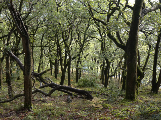
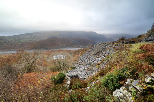
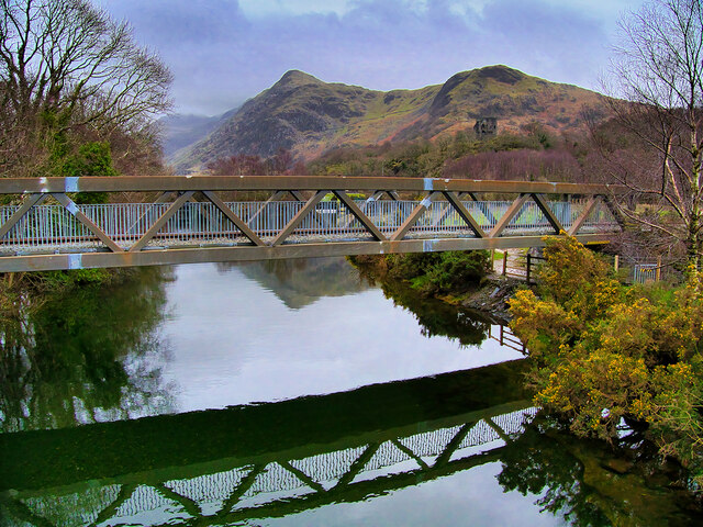
The landscape of Caernarfonshire was diverse, ranging from the rugged mountains of Snowdonia National Park in the south to the picturesque coastline dotted with sandy beaches and cliffs. The highest peak in Wales, Mount Snowdon, could be found within the county's boundaries. The region was renowned for its stunning natural beauty, attracting tourists and outdoor enthusiasts from around the world.
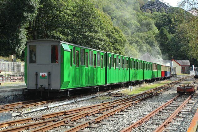
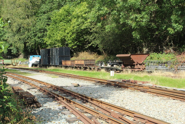
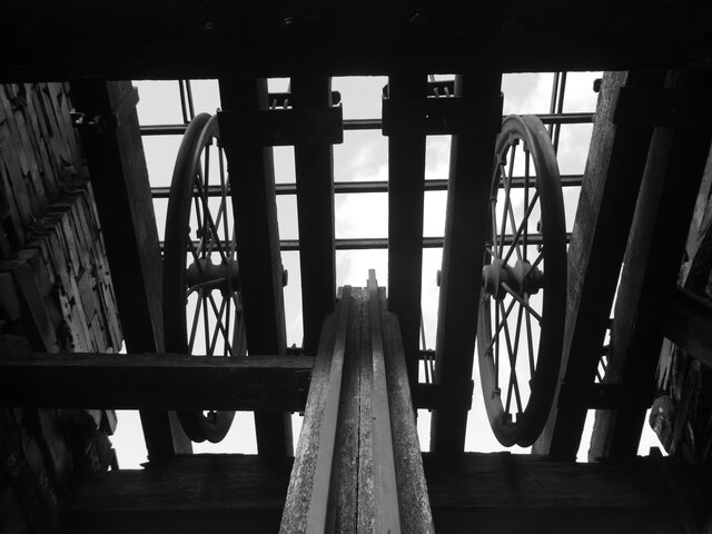
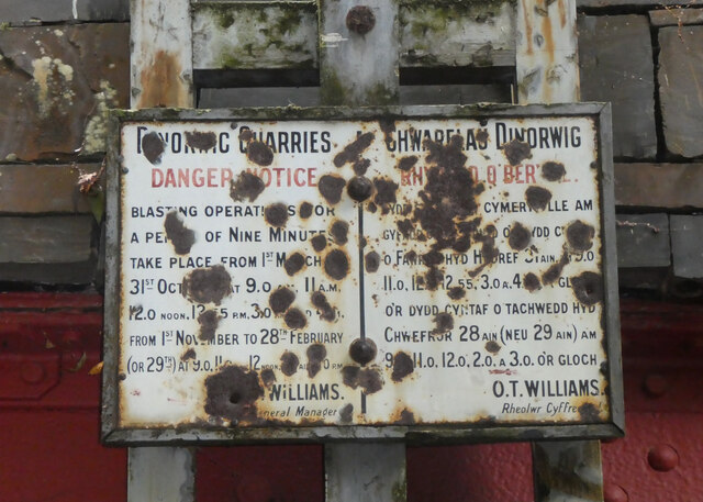
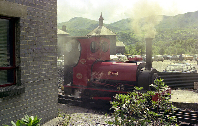
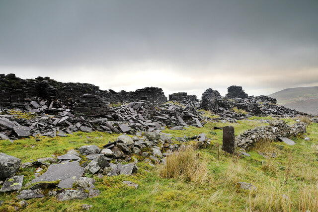
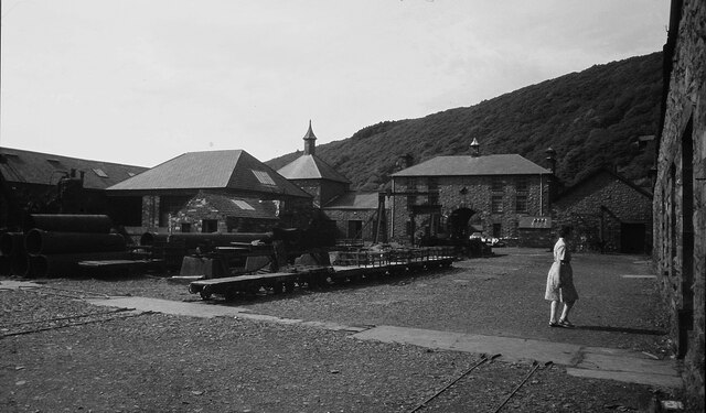
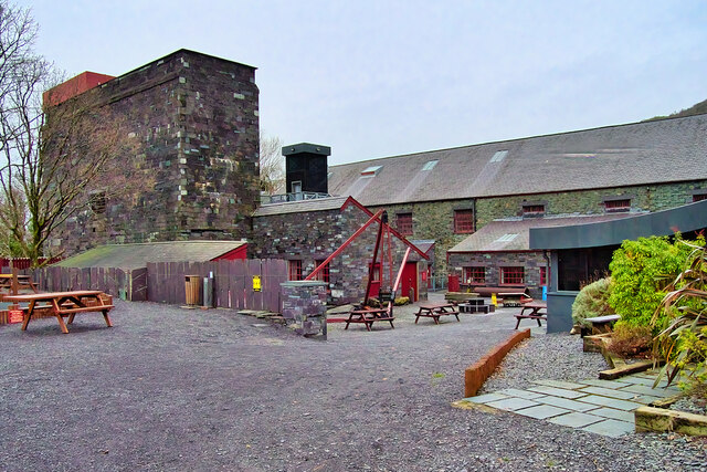
The economy of Caernarfonshire was primarily based on agriculture, with livestock farming and dairy production being prominent. The county also had a rich slate mining industry, particularly around the town of Blaenau Ffestiniog. Additionally, tourism played a significant role in the local economy, thanks to the county's breathtaking landscapes, historic sites, and cultural heritage.
Caernarfonshire was steeped in history, with evidence of human settlement dating back thousands of years. The area was inhabited by Celtic tribes, and later became part of the Roman Empire. The county was also significant during the medieval period, as it served as a stronghold for Welsh princes. Today, remnants of this rich history can be seen in the numerous castles, churches, and ancient monuments scattered throughout the county.
In 1974, Caernarfonshire was abolished as an administrative county, but its name continues to be used to describe the region informally. The area is now part of the larger county of Gwynedd, but its distinct identity and historical significance are still celebrated and cherished by locals and visitors alike.
If you have any feedback on the listing, please let us know in the comments section below.
Caernarfonshire Images
Images are sourced within 2km of 53.12166/-4.12746 or Grid Reference SH5760. Thanks to Geograph Open Source API. All images are credited.
Caernarfonshire is located at Grid Ref: SH5760 (Lat: 53.12166, Lng: -4.12746)
Also known as: Caernarvonshire, Sir Gaernarfon
What 3 Words
///elders.crest.violinist. Near Llanberis, Gwynedd
Nearby Locations
Related Wikis

Pete's Eats Cafe
Pete's Eats is a cafe in Llanberis, North Wales, popular amongst walkers and climbers in the Snowdonia region of mountains. Llanberis, at the foot of Snowdon...

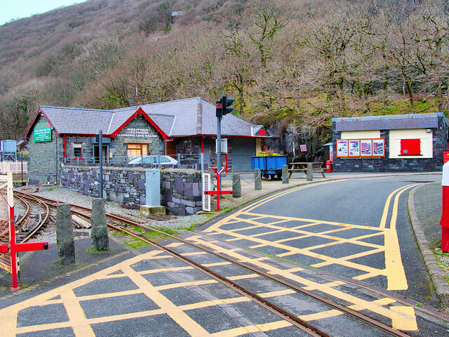
Padarn Halt railway station
Padarn Halt was a passenger only railway station located in Llanberis, Gwynedd, Wales, on the western shore of Llyn Padarn. It opened on 21 November 1936...

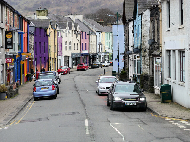
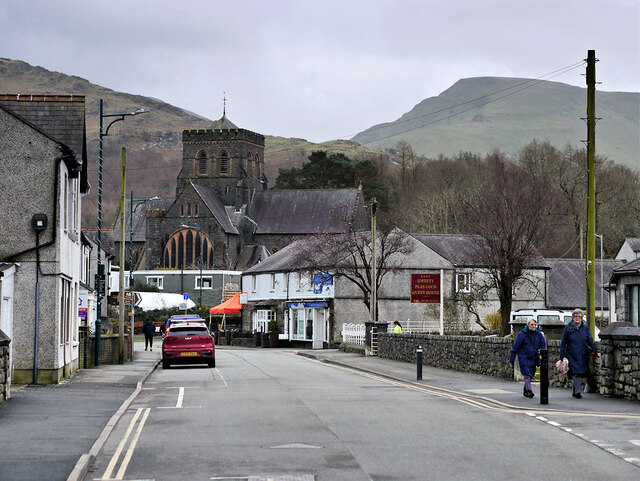
Llanberis
Llanberis (; Welsh: [ɬanˈbɛrɪs] ) is a village, community and electoral ward in Gwynedd, northwest Wales, on the southern bank of the lake Llyn Padarn...

Llyn Padarn
Llyn Padarn is a glacially formed lake in Snowdonia, Gwynedd, north Wales, and is an example of a moraine dammed lake. The lake is approximately 2 miles...
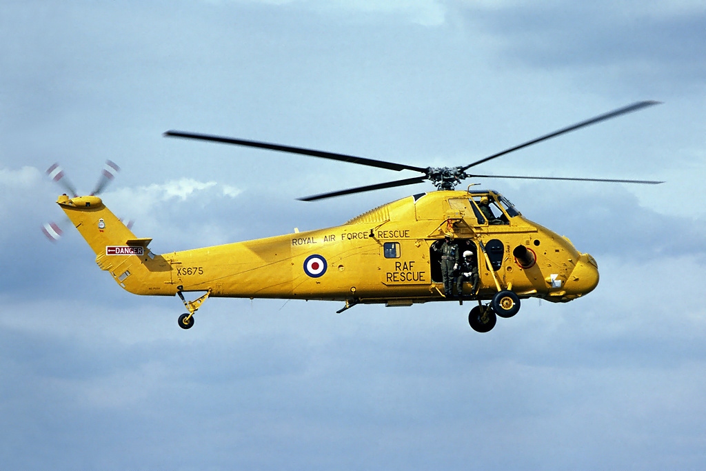
1993 Llyn Padarn helicopter crash
The 1993 Llyn Padarn helicopter crash occurred on 12 August 1993, when an RAF Westland Wessex helicopter, serial number XR524, with 3 aircrew and 4 Air...
Llanberis railway station (London and North Western Railway)
Llanberis railway station was located in Llanberis, Gwynedd, Wales. It was a short walk from the Llanberis station of the Snowdon Mountain Railway. It...

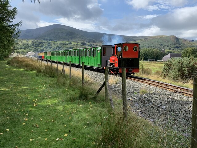
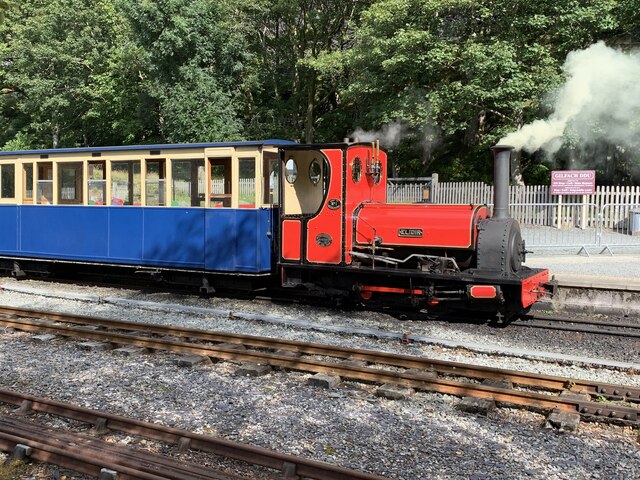
Llanberis railway station (Llanberis Lake Railway)
Llanberis (LLR) railway station is the southern terminus of the Llanberis Lake Railway (LLR), located in Llanberis, Gwynedd, Wales. The line and station...
Bangor University Boat Club
Bangor University Boat Club(BUBC) is the rowing club of Bangor University run for and by the university's students. The club's home water is Llyn Padarn...
Nearby Amenities
Located within 500m of 53.12166,-4.12746Have you been to Caernarfonshire?
Leave your review of Caernarfonshire below (or comments, questions and feedback).