Coed Mawr
Wood, Forest in Caernarfonshire
Wales
Coed Mawr
Coed Mawr is a picturesque woodland area located in the county of Caernarfonshire, Wales. The name "Coed Mawr" translates to "Wood, Forest" in English, which aptly describes the natural beauty and abundance of trees found in the region. The woodland is situated near the town of Caernarfon, which is renowned for its historical significance and stunning landscapes.
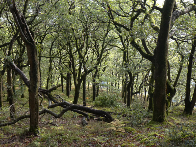
Covering an expansive area, Coed Mawr is home to a diverse range of flora and fauna. The forest is predominantly composed of native broadleaf species, such as oak, beech, and ash trees. These majestic trees provide a lush and verdant canopy, creating a serene and tranquil ambiance within the woodland.
The forest floor of Coed Mawr is adorned with a myriad of wildflowers, ferns, and mosses, adding vibrant splashes of color to the landscape. The dense vegetation also serves as a habitat for various animal species, including squirrels, badgers, and a variety of bird species. Nature enthusiasts and birdwatchers frequent the area to catch a glimpse of common woodland birds like woodpeckers, thrushes, and owls.
Coed Mawr offers visitors a chance to reconnect with nature through its well-maintained walking trails, providing opportunities for leisurely strolls or more challenging hikes. The forest is a popular spot for nature walks, picnics, and family outings, offering a peaceful retreat away from the hustle and bustle of urban life.
Overall, Coed Mawr in Caernarfonshire is a captivating woodland that showcases the natural beauty and biodiversity of Wales. Its lush greenery, diverse wildlife, and tranquil atmosphere make it a must-visit destination for nature lovers and those seeking a peaceful escape in the heart of the Welsh countryside.
If you have any feedback on the listing, please let us know in the comments section below.
Coed Mawr Images
Images are sourced within 2km of 53.120292/-4.1358397 or Grid Reference SH5760. Thanks to Geograph Open Source API. All images are credited.
Coed Mawr is located at Grid Ref: SH5760 (Lat: 53.120292, Lng: -4.1358397)
Unitary Authority: Gwynedd
Police Authority: North Wales
What 3 Words
///alongside.boomers.stormy. Near Llanberis, Gwynedd
Nearby Locations
Related Wikis

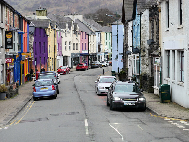
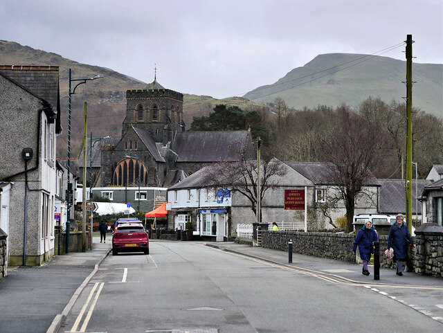
Llanberis
Llanberis (; Welsh: [ɬanˈbɛrɪs] ) is a village, community and electoral ward in Gwynedd, northwest Wales, on the southern bank of the lake Llyn Padarn...

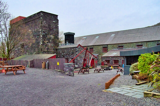
Pete's Eats Cafe
Pete's Eats is a cafe in Llanberis, North Wales, popular amongst walkers and climbers in the Snowdonia region of mountains. Llanberis, at the foot of Snowdon...

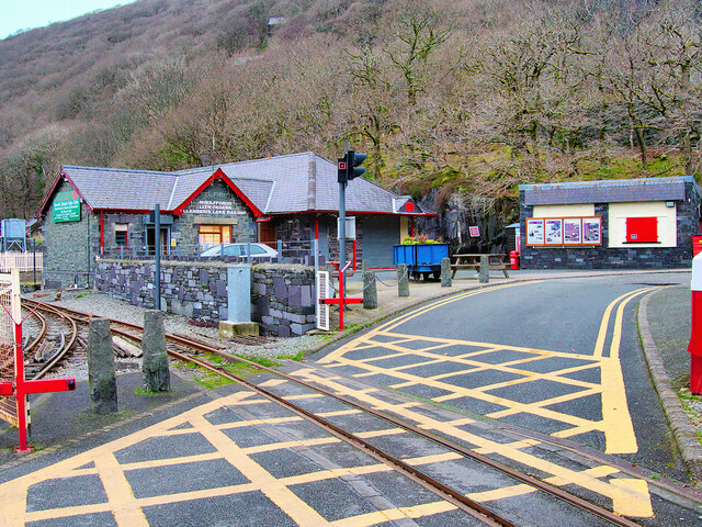
Padarn Halt railway station
Padarn Halt was a passenger only railway station located in Llanberis, Gwynedd, Wales, on the western shore of Llyn Padarn. It opened on 21 November 1936...

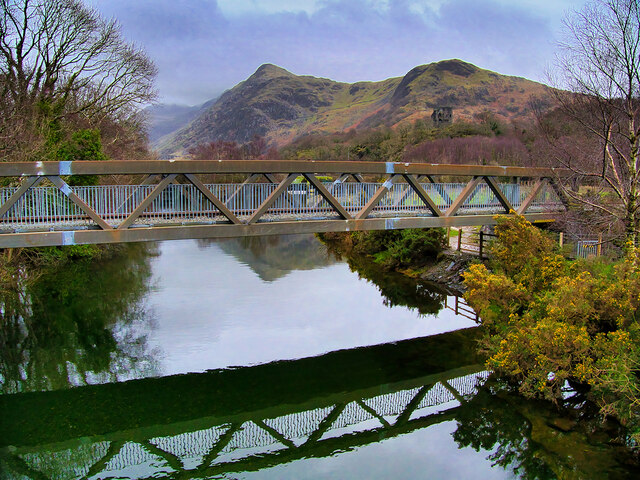
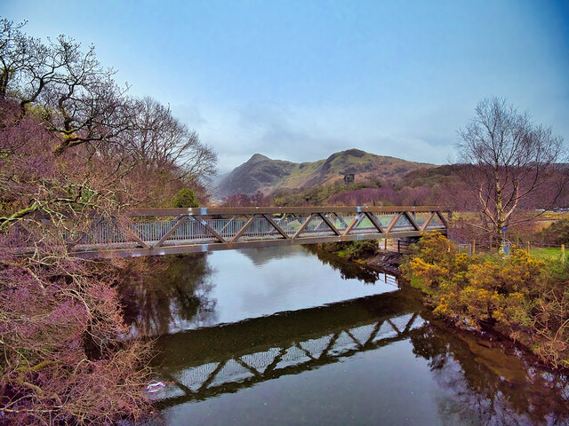
Llyn Padarn
Llyn Padarn is a glacially formed lake in Snowdonia, Gwynedd, north Wales, and is an example of a moraine dammed lake. The lake is approximately 2 miles...
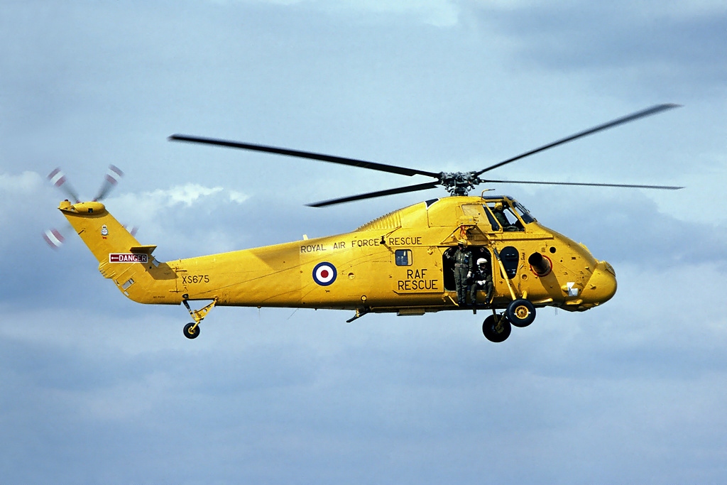
1993 Llyn Padarn helicopter crash
The 1993 Llyn Padarn helicopter crash occurred on 12 August 1993, when an RAF Westland Wessex helicopter, serial number XR524, with 3 aircrew and 4 Air...
Llanberis railway station (London and North Western Railway)
Llanberis railway station was located in Llanberis, Gwynedd, Wales. It was a short walk from the Llanberis station of the Snowdon Mountain Railway. It...
Bangor University Boat Club
Bangor University Boat Club(BUBC) is the rowing club of Bangor University run for and by the university's students. The club's home water is Llyn Padarn...

Glynrhonwy quarries
The Glynrhonwy quarries (also known as the Glyn-Rhonwy quarries) were two adjacent quarries in the Glynrhonwy area, north-west of Llanberis, in Carnarvonshire...
Nearby Amenities
Located within 500m of 53.120292,-4.1358397Have you been to Coed Mawr?
Leave your review of Coed Mawr below (or comments, questions and feedback).