Bedfordshire
Historic County in
England
Bedfordshire

Bedfordshire, a historic county located in the East of England, is a landlocked region bordered by Hertfordshire to the south-east, Northamptonshire to the north-east, Buckinghamshire to the west, and Cambridgeshire to the north. With a population of around 660,000, it covers an area of approximately 1,235 square kilometers.
The county town of Bedford is the largest settlement in the area and serves as the administrative center. Bedfordshire's landscape is predominantly rural, characterized by rolling hills, woodlands, and charming countryside. The River Great Ouse, which flows through the county, provides scenic beauty and recreational opportunities for residents and visitors alike.
Historically, Bedfordshire has played a significant role in the development of England. It has witnessed various settlements since prehistoric times, including Roman encampments and Saxon villages. The county boasts a rich heritage, with notable landmarks such as Woburn Abbey, a stately home built in the 17th century, and the historic market town of Ampthill, which was once the residence of Henry VIII and Katherine of Aragon.
Bedfordshire is also renowned for its aviation industry, particularly during World War II when it became a major center for aircraft production. The Shuttleworth Collection, located at Old Warden Aerodrome, houses a remarkable array of vintage aircraft and is a popular attraction for aviation enthusiasts.
In addition to its historical and cultural offerings, Bedfordshire benefits from excellent transport links. The M1 motorway passes through the county, connecting it to London and the Midlands, while the East Coast Main Line provides fast train services to destinations across the country.
Overall, Bedfordshire combines a rich historical heritage with natural beauty, making it an attractive destination for residents and tourists seeking a mix of cultural, scenic, and recreational experiences.
If you have any feedback on the listing, please let us know in the comments section below.
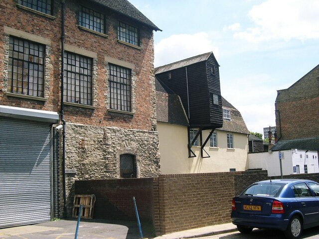
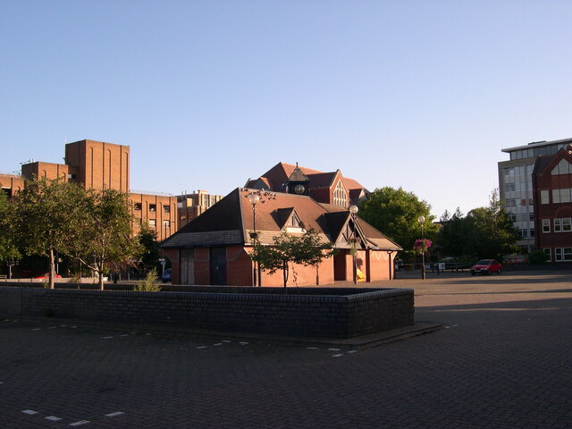
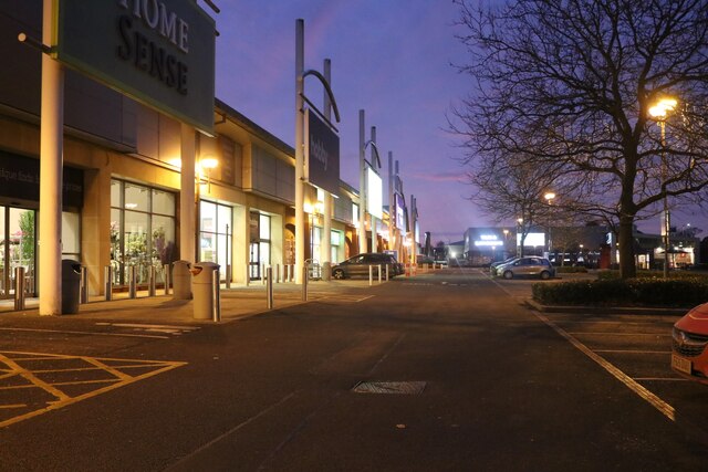
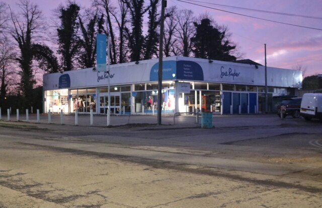
Bedfordshire Images
Images are sourced within 2km of 52.136844/-0.46849019 or Grid Reference TL0449. Thanks to Geograph Open Source API. All images are credited.


Bedfordshire is located at Grid Ref: TL0449 (Lat: 52.136844, Lng: -0.46849019)
What 3 Words
///visit.riots.risk. Near Bedford, Bedfordshire
Nearby Locations
Related Wikis

Bedford Rural District
Bedford Rural District was a rural district in Bedfordshire, England from 1894 to 1974. It surrounded but did not include the Municipal Borough of Bedford...
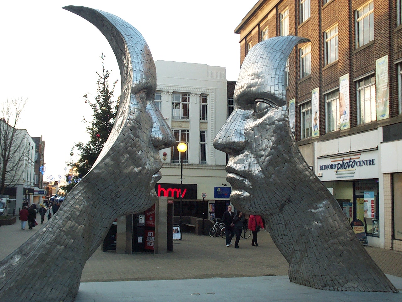
Reflections of Bedford
Reflections of Bedford is an abstract sculpture by Rick Kirby, located in Bedford town center, on Silver Street. Commissioned by Bedford Borough Council...
Mid Bedfordshire District
Mid Bedfordshire was, from 1974 to 2009, a local government district in Bedfordshire, England. == Creation == The district was formed on 1 April 1974...

Bedford Corn Exchange
The Corn Exchange is an events and concert venue located on St Paul's Square in the Castle area of Bedford, Bedfordshire, England. The structure, which...
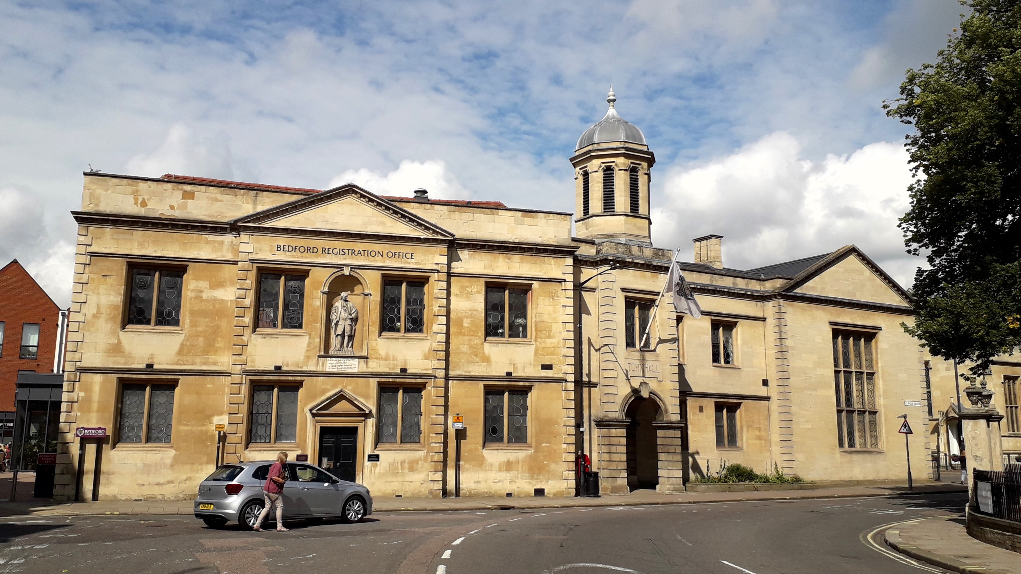
Old Town Hall, Bedford
The Old Town Hall is a municipal building in St Paul's Square in Bedford, Bedfordshire, England. The building, which was the headquarters of Bedford Borough...
Bedford Abbey
Bedford Abbey was a short-lived Benedictine monastery, recorded in 10th-century England. Bedford Priory, perhaps representing the same institution two...

St Paul's Church, Bedford
St Paul's Church is a Church of England parish church located on St Paul's Square in Bedford, Bedfordshire, England. Formerly a medieval collegiate church...
Statue of John Howard, Bedford
The statue of John Howard, in St Pauls's Square, Bedford, is a bronze of John Howard, erected in 1890, the centenary of Howard's death. The statue is...
Nearby Amenities
Located within 500m of 52.136844,-0.46849019Have you been to Bedfordshire?
Leave your review of Bedfordshire below (or comments, questions and feedback).