Ypres Tower
Heritage Site in Sussex Rother
England
Ypres Tower
Ypres Tower, located in Rye, East Sussex, is a historical landmark that has stood for over seven centuries. This medieval tower, also known as Rye Castle, was built in the early 14th century by the English monarchs to defend the town against French invasions during the Hundred Years' War.
The tower is a fine example of medieval military architecture. Standing four stories tall, it features thick stone walls, narrow arrow slits, and a striking battlement, which offers panoramic views of the surrounding countryside. Originally, the tower served as a fortified residence for the local warden, who was responsible for protecting the town and its inhabitants from external threats.
Over the centuries, Ypres Tower has played various roles. It served as a prison during the Tudor period, housing local criminals and religious dissenters. Later, in the 18th century, it became a private residence before being transformed into a courthouse and town hall. Today, the tower is a popular heritage site managed by the Sussex Archaeological Society.
Visitors to Ypres Tower can explore its fascinating history through the displays and exhibitions housed within its walls. The museum showcases artifacts and interactive exhibits that tell the story of Rye's past, including its maritime connections, smuggling history, and involvement in the medieval wars. Additionally, the tower's unique architecture and stunning views make it a fantastic destination for history enthusiasts and photography enthusiasts alike.
Ypres Tower stands as a testament to the enduring heritage and resilience of Rye, offering visitors a glimpse into the town's rich and eventful history.
If you have any feedback on the listing, please let us know in the comments section below.
Ypres Tower Images
Images are sourced within 2km of 50.952/0.742 or Grid Reference TQ9220. Thanks to Geograph Open Source API. All images are credited.
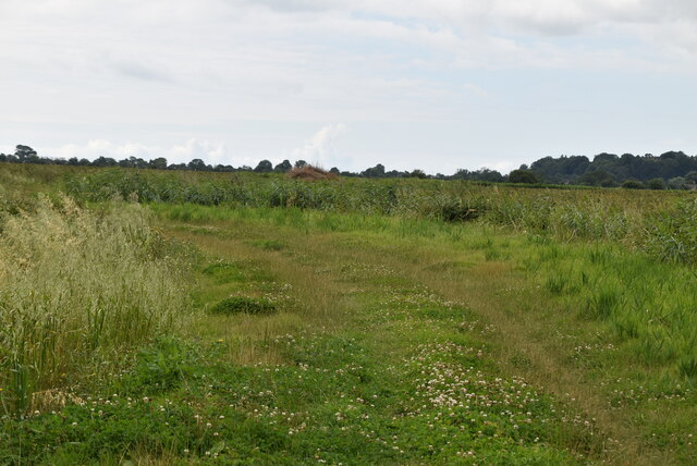
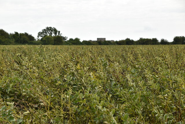
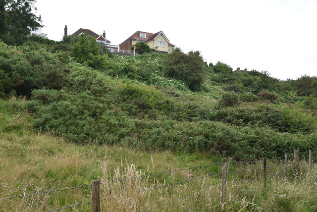
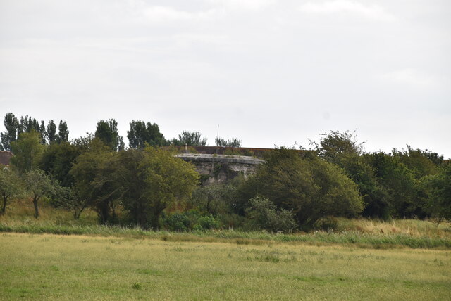
![A walk to Camber Castle [1] The walk starts from alongside Brede Sluice in Harbour Road.
From Harbour Road, the walk is almost exactly one mile to the ruins of Camber Castle, an artillery castle built in the early to mid 16th century. Now surrounded by flat reclaimed marshland, the castle originally fortified the northern end of a long shingle spit which protected the entry to the port of Rye. Constructed of local stone, the castle buildings are surrounded by a group of associated earthworks. Listed, grade I, with details at: <span class="nowrap"><a title="https://historicengland.org.uk/listing/the-list/list-entry/1234738" rel="nofollow ugc noopener" href="https://historicengland.org.uk/listing/the-list/list-entry/1234738">Link</a><img style="margin-left:2px;" alt="External link" title="External link - shift click to open in new window" src="https://s1.geograph.org.uk/img/external.png" width="10" height="10"/></span> A Scheduled Ancient Monument with details and history at: <span class="nowrap"><a title="https://historicengland.org.uk/listing/the-list/list-entry/1014632" rel="nofollow ugc noopener" href="https://historicengland.org.uk/listing/the-list/list-entry/1014632">Link</a><img style="margin-left:2px;" alt="External link" title="External link - shift click to open in new window" src="https://s1.geograph.org.uk/img/external.png" width="10" height="10"/></span>](https://s1.geograph.org.uk/geophotos/07/21/23/7212365_154269c9.jpg)
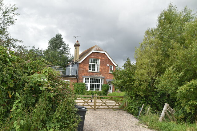
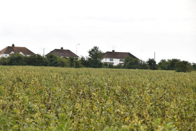
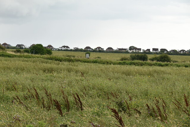
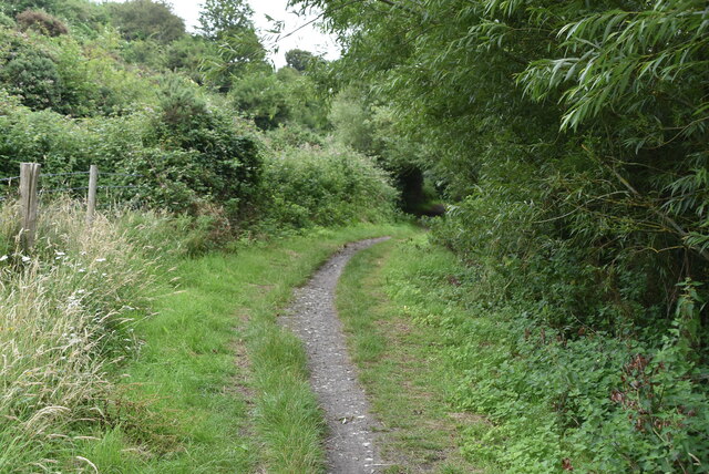
![A walk to Camber Castle [2] The path is part of two long distance paths, the Saxon Shore Way and the Royal Military Canal Path.
From Harbour Road, the walk is almost exactly one mile to the ruins of Camber Castle, an artillery castle built in the early to mid 16th century. Now surrounded by flat reclaimed marshland, the castle originally fortified the northern end of a long shingle spit which protected the entry to the port of Rye. Constructed of local stone, the castle buildings are surrounded by a group of associated earthworks. Listed, grade I, with details at: <span class="nowrap"><a title="https://historicengland.org.uk/listing/the-list/list-entry/1234738" rel="nofollow ugc noopener" href="https://historicengland.org.uk/listing/the-list/list-entry/1234738">Link</a><img style="margin-left:2px;" alt="External link" title="External link - shift click to open in new window" src="https://s1.geograph.org.uk/img/external.png" width="10" height="10"/></span> A Scheduled Ancient Monument with details and history at: <span class="nowrap"><a title="https://historicengland.org.uk/listing/the-list/list-entry/1014632" rel="nofollow ugc noopener" href="https://historicengland.org.uk/listing/the-list/list-entry/1014632">Link</a><img style="margin-left:2px;" alt="External link" title="External link - shift click to open in new window" src="https://s1.geograph.org.uk/img/external.png" width="10" height="10"/></span>](https://s3.geograph.org.uk/geophotos/07/21/23/7212375_9e6d20ef.jpg)
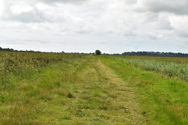
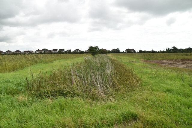
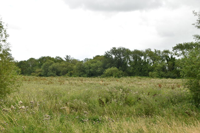
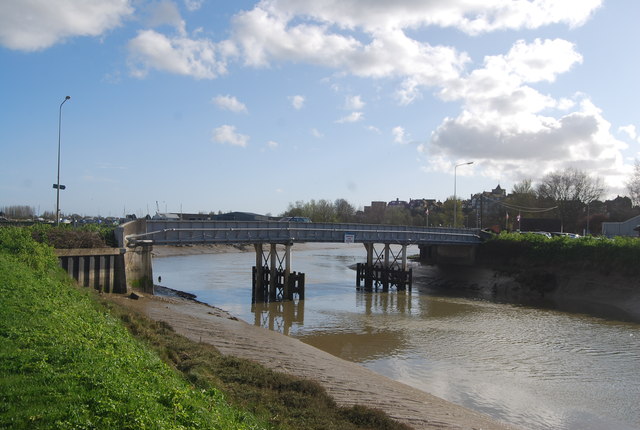
![A walk to Camber Castle [3] The track runs on a causeway.
From Harbour Road, the walk is almost exactly one mile to the ruins of Camber Castle, an artillery castle built in the early to mid 16th century. Now surrounded by flat reclaimed marshland, the castle originally fortified the northern end of a long shingle spit which protected the entry to the port of Rye. Constructed of local stone, the castle buildings are surrounded by a group of associated earthworks. Listed, grade I, with details at: <span class="nowrap"><a title="https://historicengland.org.uk/listing/the-list/list-entry/1234738" rel="nofollow ugc noopener" href="https://historicengland.org.uk/listing/the-list/list-entry/1234738">Link</a><img style="margin-left:2px;" alt="External link" title="External link - shift click to open in new window" src="https://s1.geograph.org.uk/img/external.png" width="10" height="10"/></span> A Scheduled Ancient Monument with details and history at: <span class="nowrap"><a title="https://historicengland.org.uk/listing/the-list/list-entry/1014632" rel="nofollow ugc noopener" href="https://historicengland.org.uk/listing/the-list/list-entry/1014632">Link</a><img style="margin-left:2px;" alt="External link" title="External link - shift click to open in new window" src="https://s1.geograph.org.uk/img/external.png" width="10" height="10"/></span>](https://s2.geograph.org.uk/geophotos/07/21/23/7212382_9403fdd8.jpg)
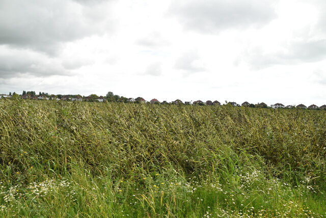
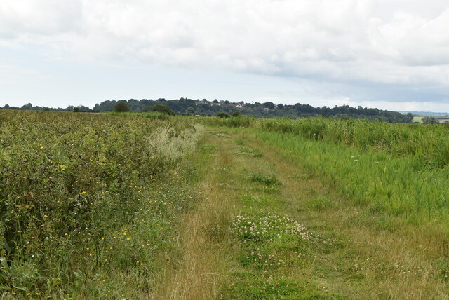
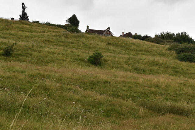
![A walk to Camber Castle [4] One of the many waterways on the marshland.
From Harbour Road, the walk is almost exactly one mile to the ruins of Camber Castle, an artillery castle built in the early to mid 16th century. Now surrounded by flat reclaimed marshland, the castle originally fortified the northern end of a long shingle spit which protected the entry to the port of Rye. Constructed of local stone, the castle buildings are surrounded by a group of associated earthworks. Listed, grade I, with details at: <span class="nowrap"><a title="https://historicengland.org.uk/listing/the-list/list-entry/1234738" rel="nofollow ugc noopener" href="https://historicengland.org.uk/listing/the-list/list-entry/1234738">Link</a><img style="margin-left:2px;" alt="External link" title="External link - shift click to open in new window" src="https://s1.geograph.org.uk/img/external.png" width="10" height="10"/></span> A Scheduled Ancient Monument with details and history at: <span class="nowrap"><a title="https://historicengland.org.uk/listing/the-list/list-entry/1014632" rel="nofollow ugc noopener" href="https://historicengland.org.uk/listing/the-list/list-entry/1014632">Link</a><img style="margin-left:2px;" alt="External link" title="External link - shift click to open in new window" src="https://s1.geograph.org.uk/img/external.png" width="10" height="10"/></span>](https://s0.geograph.org.uk/geophotos/07/21/23/7212384_d74cd605.jpg)
Ypres Tower is located at Grid Ref: TQ9220 (Lat: 50.952, Lng: 0.742)
Administrative County: East Sussex
District: Rother
Police Authority: Sussex
What 3 Words
///social.cello.sourcing. Near Rye, East Sussex
Nearby Locations
Related Wikis

Rye railway station (Rye and Camber Tramway)
Rye railway station was a terminal station on the Rye and Camber Tramway in East Sussex, connecting Rye to Camber. Although the station was close to the...
Monk Bretton Bridge
The Monk Bretton Bridge is a road bridge over the River Rother in Rye, East Sussex. It carries the A259 road, a major road between Folkestone and Hastings...

Rye Castle
Rye Castle, also known as Ypres Tower, was built in the 13th or 14th centuries, and is situated in Rye, East Sussex, England. It is a Grade I listed building...

Rye Austin Friary
Rye Austin Friary was an Augustinian friary in Conduit Street, Rye, East Sussex, England. Founded at an earlier site on the East cliff in 1364, the community...
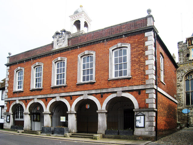
Rye Town Hall, East Sussex
Rye Town Hall is a municipal building in Market Street, Rye, East Sussex, England. The building, which is the meeting place of Rye Town Council, is a Grade...
St Mary's Church, Rye
St Mary's Church, Rye is the Anglican parish church of the civil parish of Rye in East Sussex. Since 1951 it is a Grade I listed building because of its...

Lamb House
Lamb House is a Grade II* listed 18th-century house situated in Rye, East Sussex, England, and in the ownership of the National Trust. The house is run...

St Anthony of Padua Church, Rye
St Anthony of Padua Church is a Roman Catholic Parish church in Rye, East Sussex, England. It was constructed from 1927 to 1929 and replaced a church built...
Nearby Amenities
Located within 500m of 50.952,0.742Have you been to Ypres Tower?
Leave your review of Ypres Tower below (or comments, questions and feedback).