Youlston

Heritage Site in Devon North Devon

England

Youlston

Ford Farm One of the R Yeo's head-water stream runs past the farm and through Shirwell Mills Wood.  Longtimber Wood is in the background.
Ford Farm Credit: Rabbi WP Thinrod

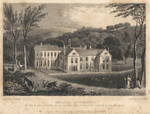
Youlston is a historic estate located in the picturesque countryside of North Devon, England. The estate dates back to the 13th century and has been owned by the same family for over 700 years. The main house, a Grade II listed building, is a stunning example of Tudor architecture with its intricate woodwork and mullioned windows.

The estate is surrounded by beautifully landscaped gardens, including a walled garden and a picturesque pond. The grounds also feature a traditional orchard and a small woodland area, providing a peaceful retreat for visitors to enjoy.

Youlston has a rich history, with connections to notable figures such as Sir Francis Drake and Sir Walter Raleigh. The estate has been lovingly preserved over the centuries, with many original features still intact. Visitors to Youlston can explore the historic house, gardens, and grounds, learning about the fascinating history of the estate and its owners.

Overall, Youlston is a charming heritage site that offers a glimpse into the past and a tranquil escape from the hustle and bustle of modern life.

If you have any feedback on the listing, please let us know in the comments section below.
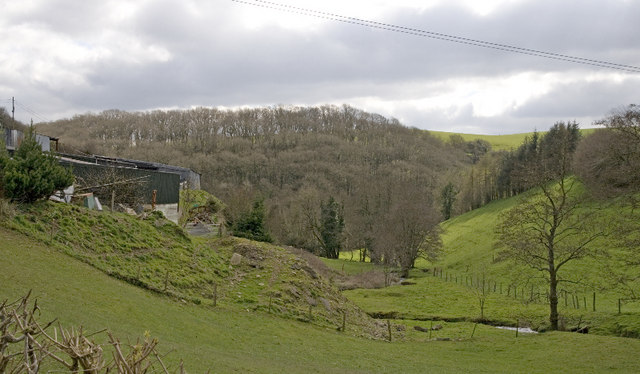
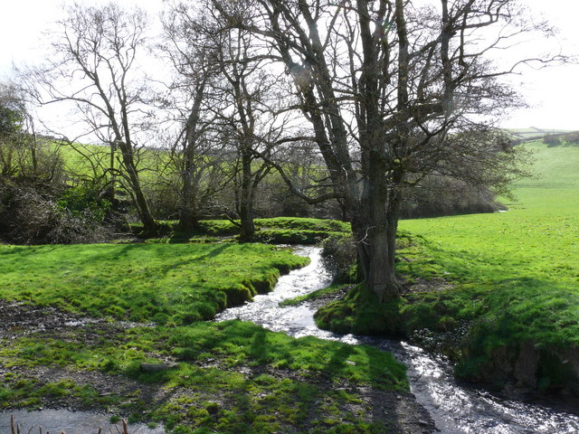
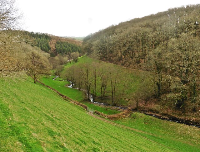
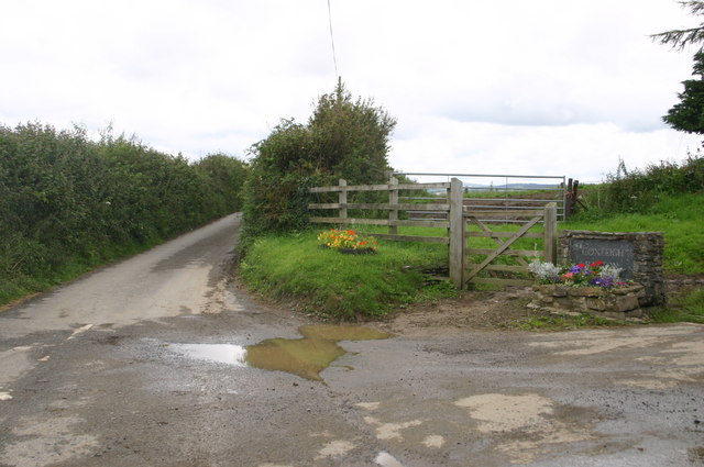
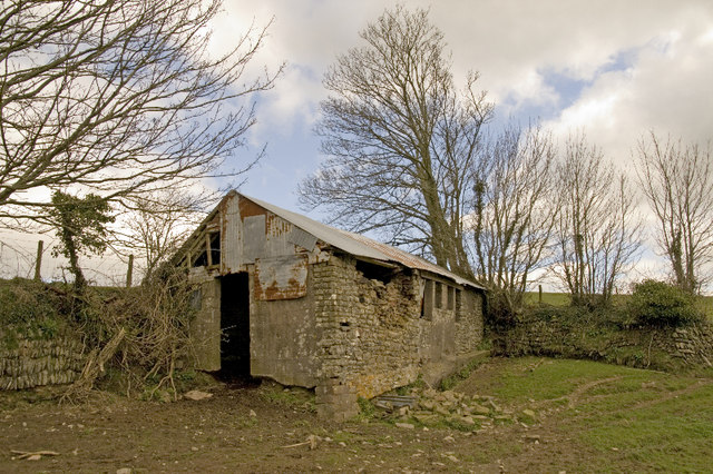
Youlston Images

Images are sourced within 2km of 51.118/-4.022 or Grid Reference SS5837. Thanks to Geograph Open Source API. All images are credited.

Ford Farm One of the R Yeo's head-water stream runs past the farm and through Shirwell Mills Wood.  Longtimber Wood is in the background.
Ford Farm
One of the R Yeo's head-water stream runs past the farm and through Shirwell Mills Wood. Longtimber Wood is in the background.
Just outside Shirwell on the way to Lower Loxhore
Wild anemone growing on a stone wall adjacent to a gate in Newbarn Woods
Village boundary, Shirwell
Minor road to Blackpool Bridge
Feeder to the Yeo valley
Shirwell: Plaistow Mill Now a private residence. The mill building is on the right and retained its waterwheel in 1997; it was powered by a leat from the Muddiford Water
Shirwell: Plaistow Mill
Now a private residence. The mill building is on the right and retained its waterwheel in 1997; it was powered by a leat from the Muddiford Water
Approaching Shirwell Shirwell village viewed from the South as it is approached along the public footpath. The photograph was taken off the path by a few yards into an adjacent field.
Approaching Shirwell
Shirwell village viewed from the South as it is approached along the public footpath. The photograph was taken off the path by a few yards into an adjacent field.
Minor road to Snapper at Coxleigh Barton farm entrance Minor road to Snapper at Coxleigh Barton farm entrance
Minor road to Snapper at Coxleigh Barton farm entrance
A39 passing Waytown farm A39 passing Waytown farm
A39 passing Waytown farm
The lane to East Plaistow from Abscott farm The lane to East Plaistow from Abscott farm
The lane to East Plaistow from Abscott farm
Fields looking towards Sloley Barton Fields looking towards Sloley Barton
Fields looking towards Sloley Barton
A39 at Upcott Cross A39 at Upcott Cross
A39 at Upcott Cross
A39 at Upcott Cross
Minor road passes lane to Upcott Minor road passes lane to Upcott
Minor road passes lane to Upcott
Hartland View farm Hartland View farm
Hartland View farm
Hartland View farm
Barn above Newbarn Wood Although now derelict the barn is associated with some large constructions possible to do with sheep farming.  Modern buildings nearer the farm house cattle
Barn above Newbarn Wood
Although now derelict the barn is associated with some large constructions possible to do with sheep farming. Modern buildings nearer the farm house cattle
Radio Mast, Shirwell Cross One of two radio masts in the village, a penalty of being so high.
Radio Mast, Shirwell Cross
One of two radio masts in the village, a penalty of being so high.
Upcott in the county parish of Shirwell
Show me another place!

Youlston is located at Grid Ref: SS5837 (Lat: 51.118, Lng: -4.022)

Administrative County: Devon

District: North Devon

Police Authority: Devon and Cornwall

What 3 Words

///firmer.shameless.valve. Near Barnstaple, Devon

Related Wikis

Youlston Park

Youlston Park, also known as Youlston House, is a privately-owned 17th-century mansion house situated at Shirwell, near Barnstaple, North Devon, England...

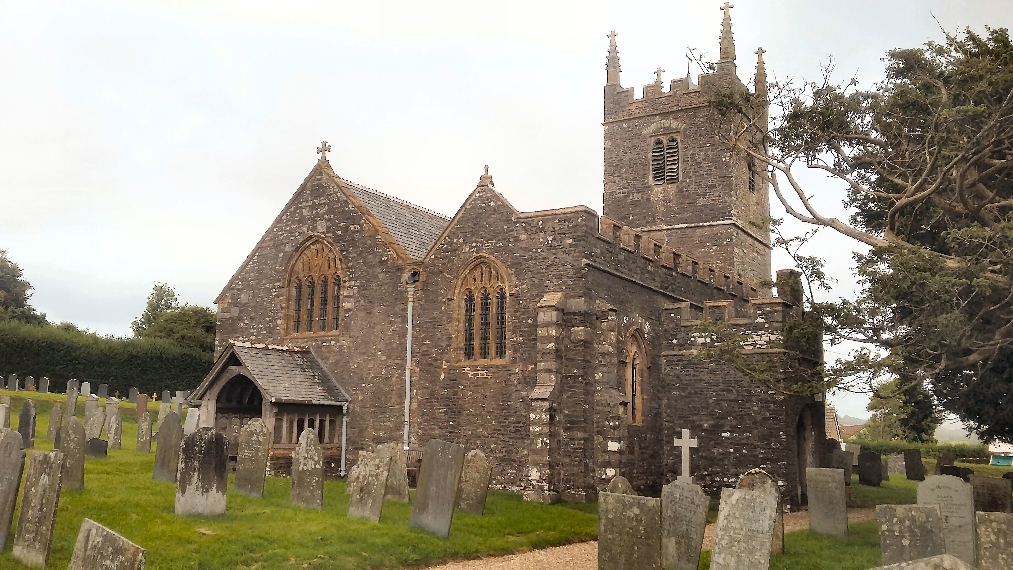
Church of St Peter, Shirwell

The Church of St Peter is the 13th-century Anglican parish church for the village of Shirwell in North Devon. It is a Grade I listed building and comes...

Manor of Shirwell

The Manor of Shirwell was a manor in North Devon, England, centred on the village of Shirwell and largely co-terminous with the parish of Shirwell. It...

Shirwell

Shirwell is a village, civil parish and former manor in the local government district of North Devon, in the county of Devon, England. It was also formerly...

Nearby Amenities

Located within 500m of 51.118,-4.022
Youlston
Place: hamlet
Lat/Long: 51.1187268/-4.0207136
Abscott Farm
Place: locality
Lat/Long: 51.1207875/-4.0251285
Generator Method: photovoltaic
Generator Output Electricity: yes
Generator Source: solar
Generator Type: solar_photovoltaic_panel
Location: roof
Power: generator
Lat/Long: 51.1214249/-4.0245608
Generator Method: photovoltaic
Generator Output Electricity: yes
Generator Source: solar
Generator Type: solar_photovoltaic_panel
Location: roof
Power: generator
Lat/Long: 51.1208845/-4.0251106
Generator Method: photovoltaic
Generator Output Electricity: yes
Generator Source: solar
Generator Type: solar_photovoltaic_panel
Location: roof
Power: generator
Lat/Long: 51.1209771/-4.0211704
The data included in this document is from www.openstreetmap.org. The data is made available under ODbL.

Have you been to Youlston?

Leave your review of Youlston below (or comments, questions and feedback).