Windmill Tump

Heritage Site in Gloucestershire Cotswold

England

Windmill Tump

Stone Stile, Rodmarton Just North of Oathill Lane crossroads on Gloucestershire footpath BRO9, looking NE. The view looking into the copse is <a href="https://www.geograph.org.uk/photo/7157012">ST9397 : Stone Stile, Rodmarton</a>.
Stone Stile, Rodmarton Credit: Mr Red

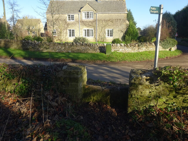
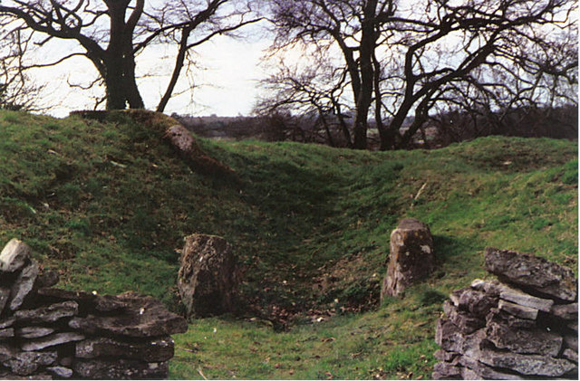
Windmill Tump is a historic site located in Gloucestershire, England. It is a significant heritage site due to its association with the agricultural history of the region. The site is characterized by the presence of a well-preserved windmill mound, also known as a windmill tump, which was once the base of a windmill.

The windmill tump at Windmill Tump is believed to date back to the 17th or 18th century, though the precise construction date is unknown. The mound stands at an elevation of approximately 10 meters and is made of earth and rubble. It is circular in shape and has a diameter of around 30 meters.

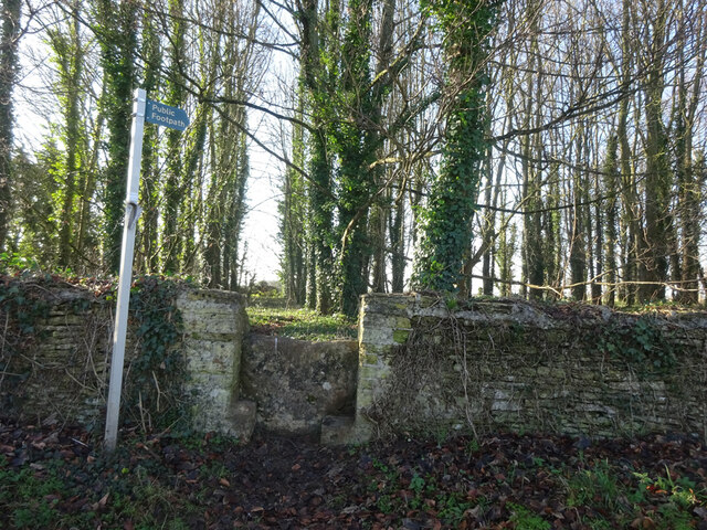
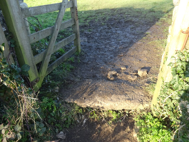
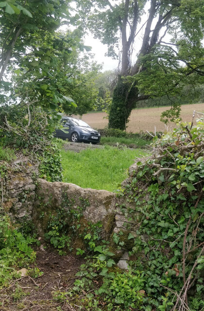
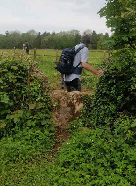
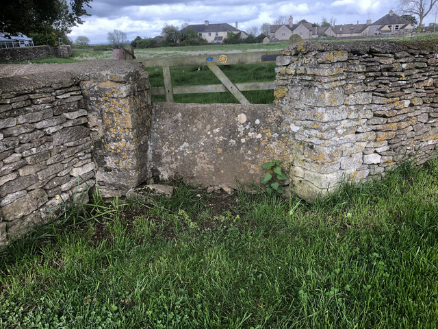
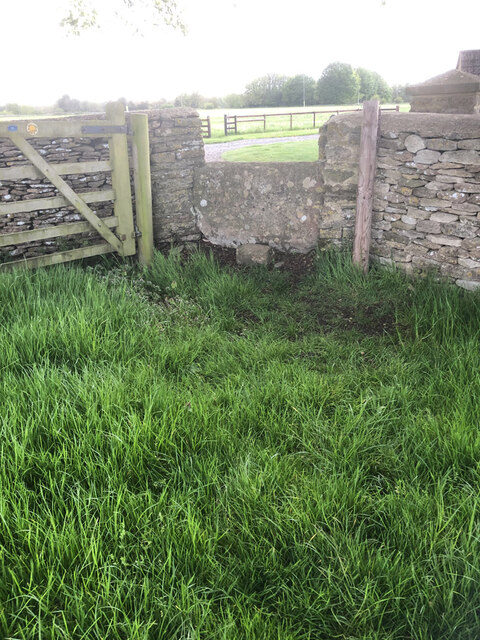
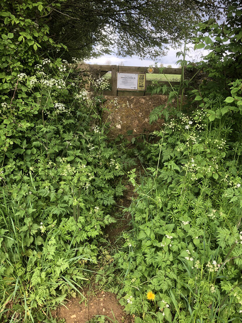
The windmill tump is surrounded by open farmland, offering panoramic views of the surrounding countryside. It serves as a reminder of the once-thriving agricultural industry that was prevalent in the area. The windmill would have been an important part of the local economy, providing a means to grind grain and produce flour.

Today, the windmill tump is a popular destination for history enthusiasts and visitors interested in the agricultural heritage of Gloucestershire. The site is accessible to the public and offers an opportunity to explore the remnants of the windmill and learn about its historical significance.

Windmill Tump is a testament to the ingenuity of past generations and serves as a reminder of the importance of preserving our cultural heritage. It stands as a tangible link to the region's agricultural past and provides valuable insights into the lives of those who lived and worked in Gloucestershire centuries ago.

If you have any feedback on the listing, please let us know in the comments section below.

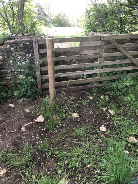
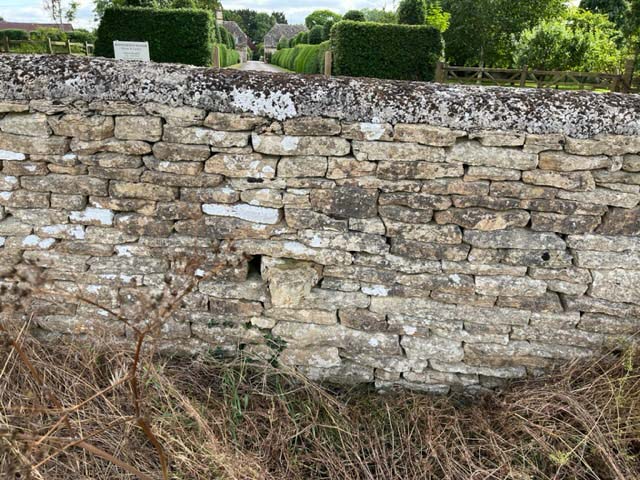
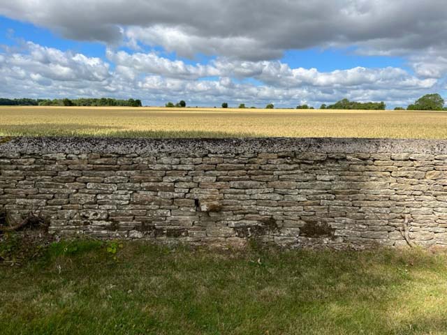
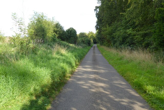
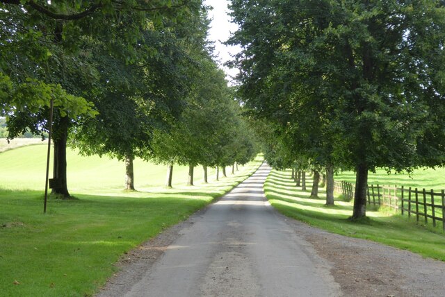
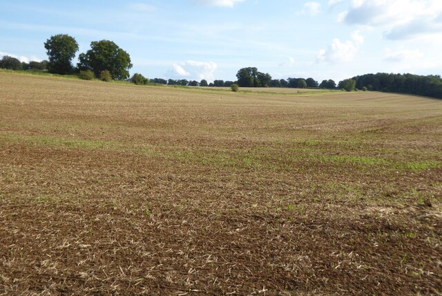
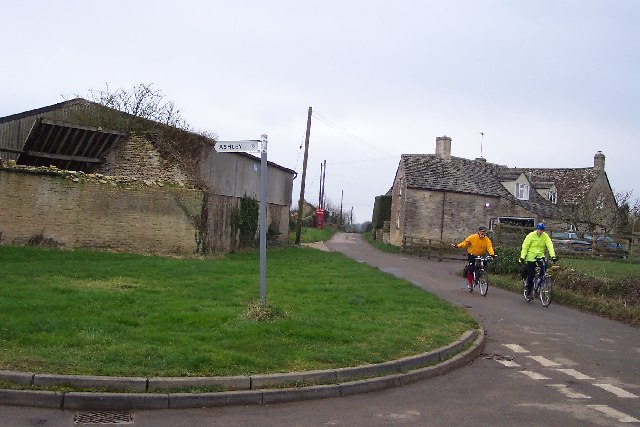
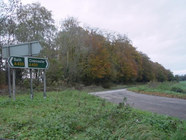
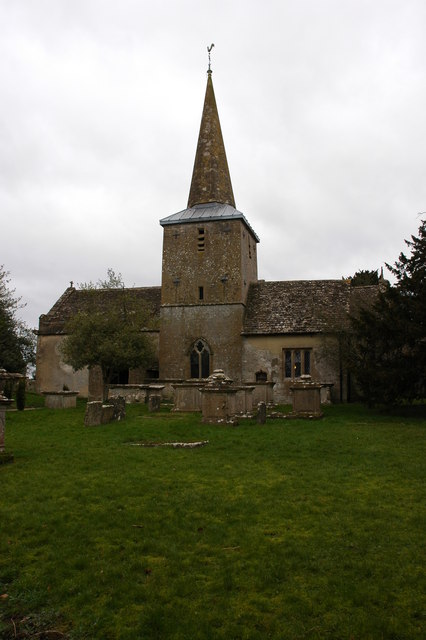
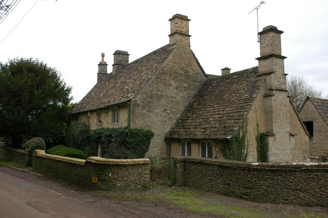
Windmill Tump Images

Images are sourced within 2km of 51.675/-2.093 or Grid Reference ST9397. Thanks to Geograph Open Source API. All images are credited.

Stone Stile, Rodmarton Just North of Oathill Lane crossroads on Gloucestershire footpath BRO9, looking NE. The view looking into the copse is <a href="https://www.geograph.org.uk/photo/7157012">ST9397 : Stone Stile, Rodmarton</a>.
Stone Stile, Rodmarton
Just North of Oathill Lane crossroads on Gloucestershire footpath BRO9, looking NE. The view looking into the copse is ST9397 : Stone Stile, Rodmarton.
Stone Stile, Rodmarton Just North of Oathill Lane crossroads on Gloucestershire footpath BRO9, looking SW. The view looking from the copse is <a href="https://www.geograph.org.uk/photo/7157011">ST9397 : Stone Stile, Rodmarton</a>.
Stone Stile, Rodmarton
Just North of Oathill Lane crossroads on Gloucestershire footpath BRO9, looking SW. The view looking from the copse is ST9397 : Stone Stile, Rodmarton.
Stone Stile, Rodmarton A "Fallen Idle". The remains of a stone slab that would have served as a stile before that gate was put in. On Gloucestershire footpath BRO11, looking from the road.
Stone Stile, Rodmarton
A "Fallen Idle". The remains of a stone slab that would have served as a stile before that gate was put in. On Gloucestershire footpath BRO11, looking from the road.
Stone Stile, Culkerton From the Northern side of the A433 on Gloucestershire footpath NCH9 looking to the road. The view from the road is <a href="https://www.geograph.org.uk/photo/7228263">ST9296 : Stone Stile, Culkerton</a>.
Stone Stile, Culkerton
From the Northern side of the A433 on Gloucestershire footpath NCH9 looking to the road. The view from the road is ST9296 : Stone Stile, Culkerton.
Stone Stile, Culkerton From the Northern side of the A433 on Gloucestershire footpath NCH9 looking to the road. The view from the road is <a href="https://www.geograph.org.uk/photo/7228261">ST9296 : Stone Stile, Culkerton</a>.
Stone Stile, Culkerton
From the Northern side of the A433 on Gloucestershire footpath NCH9 looking to the road. The view from the road is ST9296 : Stone Stile, Culkerton.
Stone Stile, Culkerton On Gloucestershire footpath NAS1 across Holt Farm looking South to the village. The view North is <a href="https://www.geograph.org.uk/photo/7233049">ST9295 : Stone Stile, Culkerton</a>.
Stone Stile, Culkerton
On Gloucestershire footpath NAS1 across Holt Farm looking South to the village. The view North is ST9295 : Stone Stile, Culkerton.
Stone Stile, Culkerton On Gloucestershire footpath NAS1 across Holt Farm looking North away from the village. The view South is <a href="https://www.geograph.org.uk/photo/7233045">ST9295 : Stone Stile, Culkerton</a>.
Stone Stile, Culkerton
On Gloucestershire footpath NAS1 across Holt Farm looking North away from the village. The view South is ST9295 : Stone Stile, Culkerton.
Stone Stile, Culkerton On Gloucestershire footpath NAS1 leading from the A433 to Culkerton Village. This view looks SE towards the village. The view looking NW to the disused Kemble to Tetbury branch line is <a href="https://www.geograph.org.uk/photo/7233146">ST9296 : Stone Stile, Culkerton</a>.
Stone Stile, Culkerton
On Gloucestershire footpath NAS1 leading from the A433 to Culkerton Village. This view looks SE towards the village. The view looking NW to the disused Kemble to Tetbury branch line is ST9296 : Stone Stile, Culkerton.
Stone Stile, Culkerton On Gloucestershire footpath NAS1 leading from the A433 to Culkerton Village. This view looks NW to the disused Kemble to Tetbury branch line. The view looking towards the village is <a href="https://www.geograph.org.uk/photo/7233144">ST9296 : Stone Stile, Culkerton</a>.
Stone Stile, Culkerton
On Gloucestershire footpath NAS1 leading from the A433 to Culkerton Village. This view looks NW to the disused Kemble to Tetbury branch line. The view looking towards the village is ST9296 : Stone Stile, Culkerton.
Stone Stile, Rodmarton A private step stile for Rodmarton Manor. This looks East towards the Manor Drive, the view to the fields is <a href="https://www.geograph.org.uk/photo/7422355">ST9497 : Stone Stile, Rodmarton</a>.
Stone Stile, Rodmarton
A private step stile for Rodmarton Manor. This looks East towards the Manor Drive, the view to the fields is ST9497 : Stone Stile, Rodmarton.
Stone Stile, Rodmarton A private step stile for Rodmarton Manor. This looks West away for the Manor Drive, the view to the Manor is <a href="https://www.geograph.org.uk/photo/7422353">ST9497 : Stone Stile, Rodmarton</a>.
Stone Stile, Rodmarton
A private step stile for Rodmarton Manor. This looks West away for the Manor Drive, the view to the Manor is ST9497 : Stone Stile, Rodmarton.
Country road to Rodmarton
Entrance to Hazleton Manor Farm Tree-lined drive to Hazleton Manor Farm.
Entrance to Hazleton Manor Farm
Tree-lined drive to Hazleton Manor Farm.
Arable field Arable field near Rodmarton.
Arable field
Arable field near Rodmarton.
Culkerton Junction at the northern end of Culkerton looking south, the turn to Ashley going left. Note the old fashioned phonebox.
Culkerton
Junction at the northern end of Culkerton looking south, the turn to Ashley going left. Note the old fashioned phonebox.
Road Junction A433 near Culkerton
Rodmarton church Rodmarton church is dedicated to St Peter.
Rodmarton church
Rodmarton church is dedicated to St Peter.
Cottage in Rodmarton
Show me another place!

Windmill Tump is located at Grid Ref: ST9397 (Lat: 51.675, Lng: -2.093)

Administrative County: Gloucestershire

District: Cotswold

Police Authority: Gloucestershire

What 3 Words

///songbird.tucked.decrease. Near Avening, Gloucestershire

Related Wikis

Windmill Tump

Windmill Tump, also known as Rodmarton Chambered Tomb, is a Neolithic burial site, a stone tumulus or barrow. It is a mound covering the site of graves...

Rodmarton Manor

Rodmarton Manor is a large country house, in Rodmarton, near Cirencester, Gloucestershire, built for the Biddulph family. It is a Grade I listed building...

Rodmarton

Rodmarton is a village and civil parish in Gloucestershire. == History == Evidence of a Roman settlement has been found at Rodmarton. Through the parish...

Rodmarton Platform railway station

Rodmarton Platform was a railway station serving the village of Rodmarton on the Tetbury branch line between Cirencester and Tetbury in Gloucestershire...

Church's Hill Halt railway station

Church's Hill Halt railway station served the village of Ashley, Gloucestershire, England, from 1959 to 1964 on the Tetbury Branch Line. == History... ==

Trull House

Trull House is a Grade II listed country house near the hamlet of Trull, to the north of the village of Ashley and about 3.4 miles (5.5 km) northeast of...

Culkerton Halt railway station

Culkerton Halt railway station served the hamlet of Culkerton, Gloucestershire, England, from 1889 to 1964 on the Tetbury Branch Line. == History == The...

Cotswold Airport

Cotswold Airport (IATA: GBA, ICAO: EGBP) (formerly Kemble Airfield) is a private general aviation airport, near the village of Kemble in Gloucestershire...

Nearby Amenities

Located within 500m of 51.675,-2.093
Note: "HP GAS"
Pipeline: marker
Substance: gas
Support: pole
Lat/Long: 51.6774294/-2.0959524
Note: "HP GAS"
Pipeline: marker
Substance: gas
Support: pole
Lat/Long: 51.6775854/-2.0958848
The data included in this document is from www.openstreetmap.org. The data is made available under ODbL.

Have you been to Windmill Tump ?

Leave your review of Windmill Tump below (or comments, questions and feedback).