Tump Plantation
Wood, Forest in Gloucestershire Cotswold
England
Tump Plantation
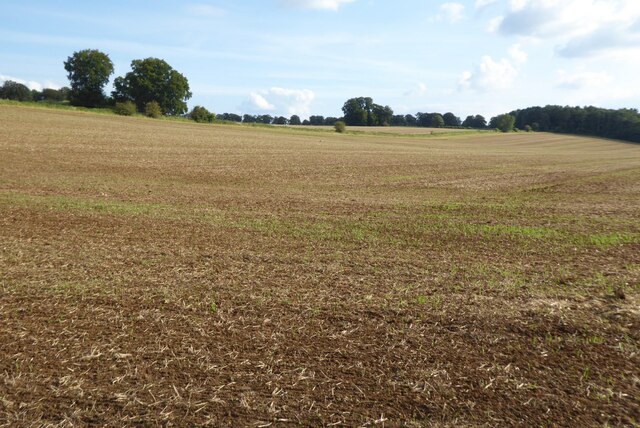
Trump Plantation is a picturesque woodland located in Gloucestershire, England. Covering an expansive area, it is renowned for its lush greenery and diverse range of tree species. The plantation is nestled within the enchanting Forest of Dean, a protected area known for its rich history and natural beauty.
The woodland of Trump Plantation is dominated by majestic oak trees, which stand tall and provide a dense canopy that filters sunlight, creating a tranquil and serene atmosphere. These oaks are interspersed with other native species such as beech, birch, and ash, adding to the diversity of the plantation. The forest floor is carpeted with a stunning array of wildflowers, including bluebells and primroses, which bloom in vibrant colors during the spring season.
Trump Plantation is not only a haven for flora but also supports a wide range of fauna. Many bird species, including woodpeckers and owls, call this woodland their home. Additionally, various small mammals like badgers, foxes, and deer can be spotted roaming the forest, adding to the charm and natural appeal of the plantation.
Visitors to Trump Plantation can enjoy a variety of outdoor activities. The woodland offers numerous walking trails, allowing visitors to explore its hidden corners and discover its unique beauty. The plantation also attracts nature enthusiasts, photographers, and artists who find inspiration in its peaceful ambiance.
Overall, Trump Plantation, with its abundant flora and fauna, captivating scenery, and recreational opportunities, is a true gem in the heart of Gloucestershire's woodlands.
If you have any feedback on the listing, please let us know in the comments section below.
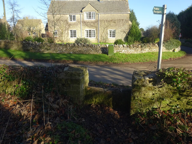
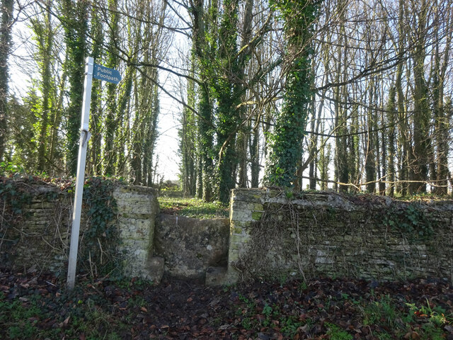
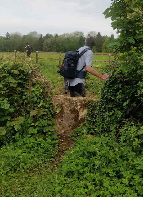
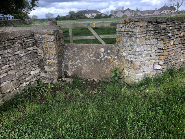
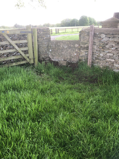
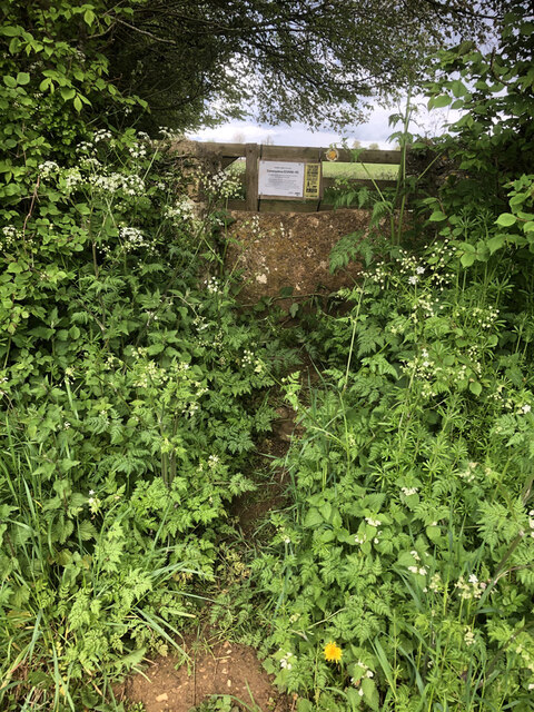
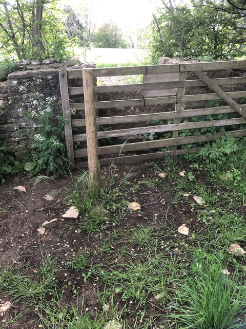
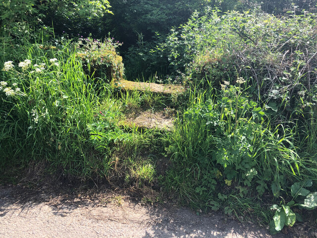
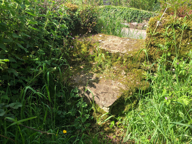
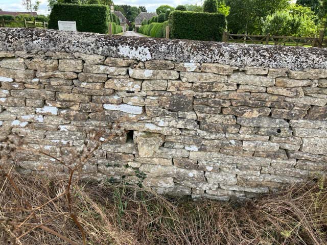
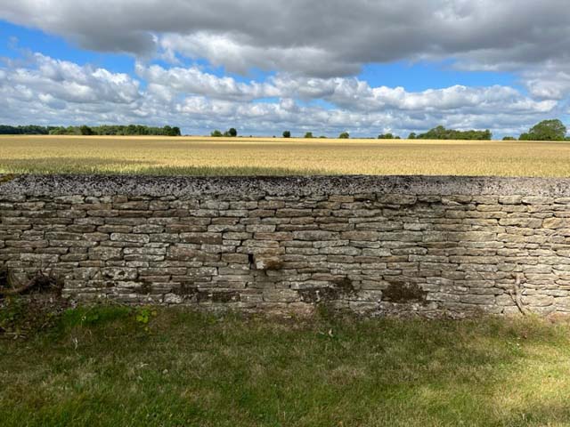
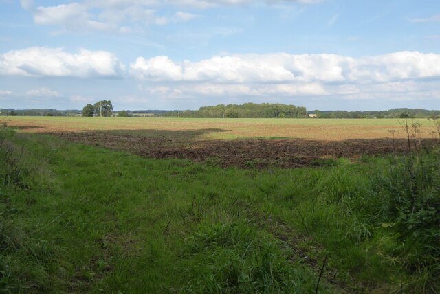
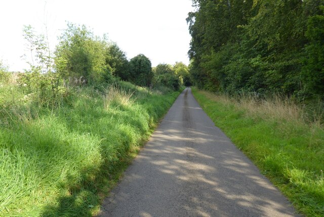
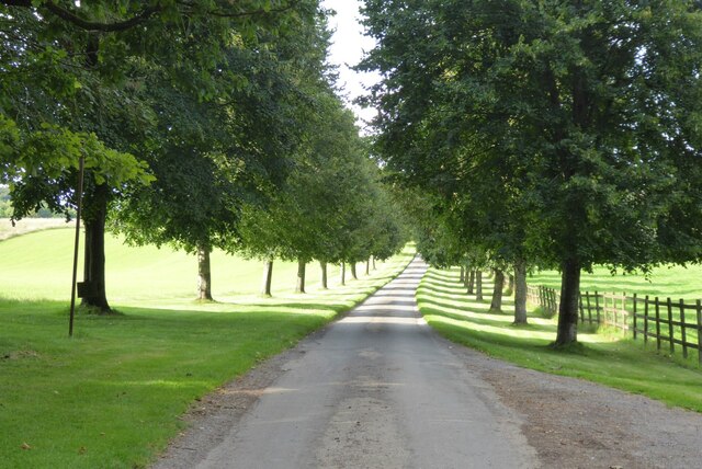
Tump Plantation Images
Images are sourced within 2km of 51.673891/-2.0954689 or Grid Reference ST9397. Thanks to Geograph Open Source API. All images are credited.
Tump Plantation is located at Grid Ref: ST9397 (Lat: 51.673891, Lng: -2.0954689)
Administrative County: Gloucestershire
District: Cotswold
Police Authority: Gloucestershire
What 3 Words
///sway.haggis.taped. Near Avening, Gloucestershire
Nearby Locations
Related Wikis
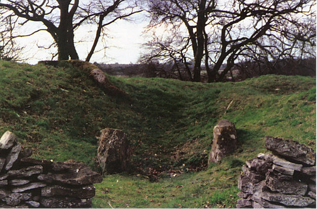
Windmill Tump
Windmill Tump, also known as Rodmarton Chambered Tomb, is a Neolithic burial site, a stone tumulus or barrow. It is a mound covering the site of graves...

Rodmarton Platform railway station
Rodmarton Platform was a railway station serving the village of Rodmarton on the Tetbury branch line between Cirencester and Tetbury in Gloucestershire...

Rodmarton Manor
Rodmarton Manor is a large country house, in Rodmarton, near Cirencester, Gloucestershire, built for the Biddulph family. It is a Grade I listed building...

Rodmarton
Rodmarton is a village and civil parish in Gloucestershire. == History == Evidence of a Roman settlement has been found at Rodmarton. Through the parish...
Church's Hill Halt railway station
Church's Hill Halt railway station served the village of Ashley, Gloucestershire, England, from 1959 to 1964 on the Tetbury Branch Line. == History... ==

Trull House
Trull House is a Grade II listed country house near the hamlet of Trull, to the north of the village of Ashley and about 3.4 miles (5.5 km) northeast of...

Culkerton Halt railway station
Culkerton Halt railway station served the hamlet of Culkerton, Gloucestershire, England, from 1889 to 1964 on the Tetbury Branch Line. == History == The...

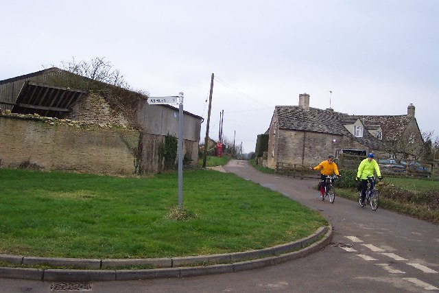
Church of St James, Ashley
The Anglican Church of St James at Ashley in the Cotswold District of Gloucestershire, England was built in the Norman period and rebuilt around 1200....
Nearby Amenities
Located within 500m of 51.673891,-2.0954689Have you been to Tump Plantation?
Leave your review of Tump Plantation below (or comments, questions and feedback).