Windmill Hill Enclosure

Heritage Site in Wiltshire

England

Windmill Hill Enclosure

Avebury, dovecote Internal niches still intact, though not obviously occupied, but pigeons appear still to use the building. Mid C16, listed by English Heritage: <span class="nowrap"><a title="http://www.imagesofengland.org.uk/Details/Default.aspx?id=311455&mode=adv" rel="nofollow ugc noopener" href="http://www.imagesofengland.org.uk/Details/Default.aspx?id=311455&mode=adv">Link</a><img style="margin-left:2px;" alt="External link" title="External link - shift click to open in new window" src="https://s1.geograph.org.uk/img/external.png" width="10" height="10"/></span>
Avebury, dovecote Credit: Mike Faherty

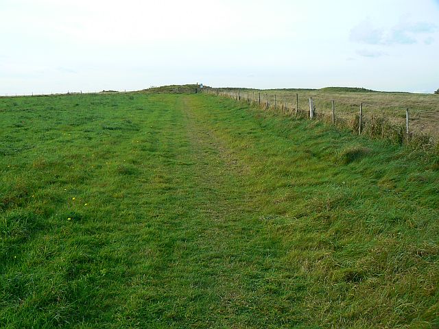
Windmill Hill Enclosure is a prehistoric site located in Wiltshire, England. It is considered one of the most important Neolithic enclosures in the country and is a designated heritage site. The site is situated on a prominent hilltop, providing commanding views of the surrounding landscape.

The enclosure dates back to around 4,500 years ago, during the late Neolithic period, and covers an area of approximately 2.4 hectares. It is defined by a series of earthworks, consisting of a circular bank and ditch. The bank is around 6 meters wide and the ditch is approximately 2 meters deep. The overall diameter of the enclosure is about 180 meters.

Excavations at Windmill Hill Enclosure have revealed evidence of human activity, including the presence of numerous pits and postholes. These features suggest that the site was used for a variety of purposes, such as agriculture, ritual ceremonies, and communal gatherings. Archaeologists have also found pottery fragments and flint tools, indicating that the site was occupied for a considerable period of time.

The significance of Windmill Hill Enclosure lies in its role as a social and cultural hub during the Neolithic period. The site's strategic location and commanding views would have made it an important gathering place for the surrounding communities. It is believed that the enclosure played a central role in the religious and ceremonial practices of the time.

Today, Windmill Hill Enclosure is open to the public and provides visitors with a glimpse into the lives of our Neolithic ancestors. The site offers stunning panoramic views of the Wiltshire countryside and serves as a testament to the rich history of the area.

If you have any feedback on the listing, please let us know in the comments section below.

Windmill Hill Enclosure Images

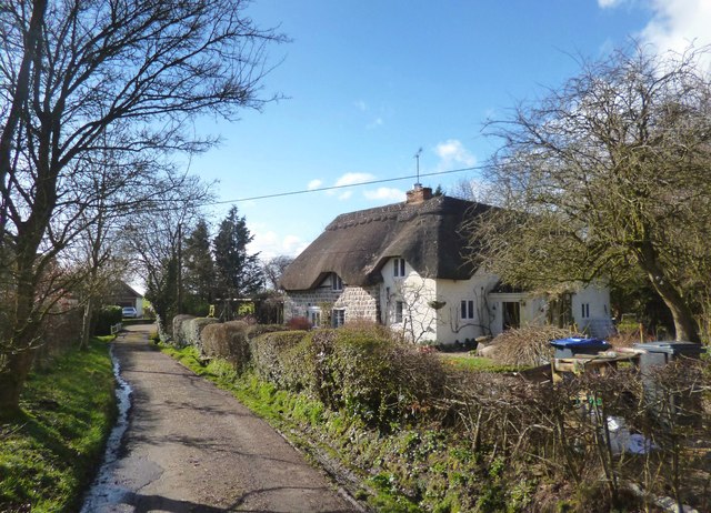
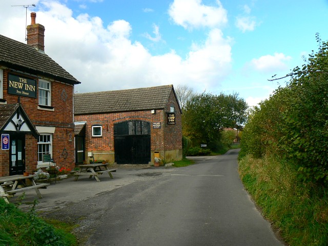
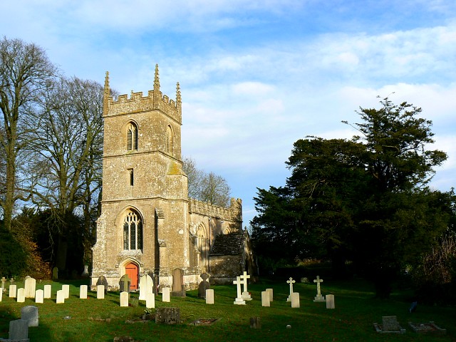
Images are sourced within 2km of 51.442/-1.878 or Grid Reference SU0871. Thanks to Geograph Open Source API. All images are credited.

Avebury, dovecote Internal niches still intact, though not obviously occupied, but pigeons appear still to use the building. Mid C16, listed by English Heritage: <span class="nowrap"><a title="http://www.imagesofengland.org.uk/Details/Default.aspx?id=311455&mode=adv" rel="nofollow ugc noopener" href="http://www.imagesofengland.org.uk/Details/Default.aspx?id=311455&mode=adv">Link</a><img style="margin-left:2px;" alt="External link" title="External link - shift click to open in new window" src="https://s1.geograph.org.uk/img/external.png" width="10" height="10"/></span>
Avebury, dovecote
Internal niches still intact, though not obviously occupied, but pigeons appear still to use the building. Mid C16, listed by English Heritage: LinkExternal link
Wesleyan Chapel, Yatesbury This Wesleyan chapel was built in 1839, but from 1871 became a Baptist mission room - see <span class="nowrap"><a title="http://history.wiltshire.gov.uk/community/getchurch.php?id=1179" rel="nofollow ugc noopener" href="http://history.wiltshire.gov.uk/community/getchurch.php?id=1179">Link</a><img style="margin-left:2px;" alt="External link" title="External link - shift click to open in new window" src="https://s1.geograph.org.uk/img/external.png" width="10" height="10"/></span>. It is marked on the 1886 map as Baptist Chapel (General) and on the 1900 and 1924 maps as Mission Room.
Wesleyan Chapel, Yatesbury
This Wesleyan chapel was built in 1839, but from 1871 became a Baptist mission room - see LinkExternal link. It is marked on the 1886 map as Baptist Chapel (General) and on the 1900 and 1924 maps as Mission Room.
Bridlepath leading to Windmill Hill Windmill Hill Neolithic causewayed enclosure can be seen at the end of the bridleway in the distance, with the later round barrow on its summit.
Bridlepath leading to Windmill Hill
Windmill Hill Neolithic causewayed enclosure can be seen at the end of the bridleway in the distance, with the later round barrow on its summit.
Avebury - Behind The Museum Even at half past one in the afternoon the frost is still on the ground behind the meuseum.
Avebury - Behind The Museum
Even at half past one in the afternoon the frost is still on the ground behind the meuseum.
View east from inside the ground floor, Avebury Manor This is a view out over the relatively informal front garden of the manor.
View east from inside the ground floor, Avebury Manor
This is a view out over the relatively informal front garden of the manor.
Inside the kitchen, Avebury Manor Part of the ethos behind the current presentation of the Manor to its visitors is to show it as it might have looked when in its 20th century heyday when owned by its most famous occupier, Alexander Keiller. An amusing detail is this pile of dirty washing-up.
Inside the kitchen, Avebury Manor
Part of the ethos behind the current presentation of the Manor to its visitors is to show it as it might have looked when in its 20th century heyday when owned by its most famous occupier, Alexander Keiller. An amusing detail is this pile of dirty washing-up.
Alexander Keiller's sitting room, Avebury Manor The room has been restored to the appearance it may have had in the 1930s when Alexander Keiller was lord of the manor. In fact none of the furniture and artefacts were here in his day. They were sourced by the BBC and National Trust from wherever they could be found as part of the 'Manor Reborn' project of 2011.
Alexander Keiller's sitting room, Avebury Manor
The room has been restored to the appearance it may have had in the 1930s when Alexander Keiller was lord of the manor. In fact none of the furniture and artefacts were here in his day. They were sourced by the BBC and National Trust from wherever they could be found as part of the 'Manor Reborn' project of 2011.
Avebury Manor Driveway
Avenue of lime trees at Avebury Manor
Owl Cottage, Winterbourne Monkton
River Kennet in Winterbourne Monkton The river is looking very healthy just now after heavy winter rain.
However, as "winterbourne" in the village name suggests, in this upper section there can be long periods when there is no water here at all, sometimes down as far as Marlborough.
River Kennet in Winterbourne Monkton
The river is looking very healthy just now after heavy winter rain. However, as "winterbourne" in the village name suggests, in this upper section there can be long periods when there is no water here at all, sometimes down as far as Marlborough.
Tombs and a House behind the Church
The Kennet at Winterbourne Monkton The same view as this one from 4 years ago <a href="https://www.geograph.org.uk/photo/1772321">SU0971 : The upper Kennet at Winterbourne Monkton 1</a>. A bit more water this year, but not that much considering how wet it's been.
The Kennet at Winterbourne Monkton
The same view as this one from 4 years ago SU0971 : The upper Kennet at Winterbourne Monkton 1. A bit more water this year, but not that much considering how wet it's been.
Tractor harrowing
Tractor harrowing
Bridleway north-east of Yatesbury Public bridleway along a narrow green lane.
Bridleway north-east of Yatesbury
Public bridleway along a narrow green lane.
Byway north of Windmill Hill Byway open to all traffic.
Byway north of Windmill Hill
Byway open to all traffic.
Byway, Berwick Bassett Common Byway open to all traffic.
Byway, Berwick Bassett Common
Byway open to all traffic.
Avenue of trees at Avebury Avenue of trees at Avebury viewed from the National Trust visitor centre.
Avenue of trees at Avebury
Avenue of trees at Avebury viewed from the National Trust visitor centre.
Show me another place!

Windmill Hill Enclosure is located at Grid Ref: SU0871 (Lat: 51.442, Lng: -1.878)

Unitary Authority: Wiltshire

Police Authority: Wiltshire

What 3 Words

///squeaks.swanky.overtones. Near Avebury, Wiltshire

Related Wikis

Windmill Hill, Avebury

Windmill Hill is a Neolithic causewayed enclosure in the English county of Wiltshire, part of the Avebury World Heritage Site, about 1 mile (2 km) northwest...

Church of St Mary Magdalene, Winterbourne Monkton

The Church of St Mary Magdalene is the Anglican church in the village of Winterbourne Monkton, north of Avebury in Wiltshire, England. It is a 19th-century...

Winterbourne Monkton

Winterbourne Monkton is a small village and civil parish in Wiltshire, England, about 1 mile (1.6 km) north of Avebury Stone Circle and 6 miles (10 km...

Yatesbury

Yatesbury is a village and former civil parish, now in the parish of Cherhill, in Wiltshire, England. It is in the northeast of Cherhill parish, 1 mile...

Nearby Amenities

Located within 500m of 51.442,-1.878
Windmill Hill
Ele: 195
Natural: peak
Wikidata: Q4348373
Lat/Long: 51.4412313/-1.8765663
Windmill Hill
Information: board
Tourism: information
Lat/Long: 51.4390631/-1.8788747
The data included in this document is from www.openstreetmap.org. The data is made available under ODbL.

Have you been to Windmill Hill Enclosure?

Leave your review of Windmill Hill Enclosure below (or comments, questions and feedback).