West Anstey Barrows
Heritage Site in Devon North Devon
England
West Anstey Barrows
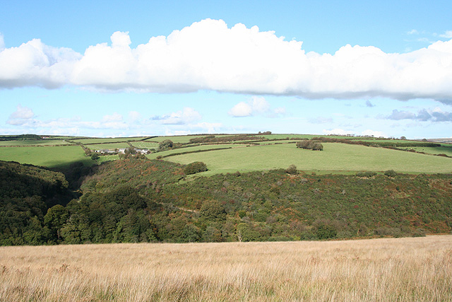
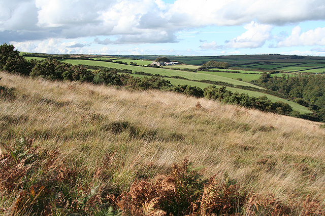
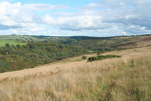
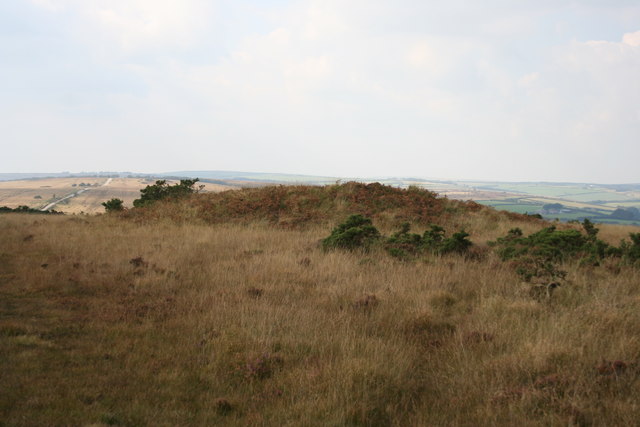
West Anstey Barrows is a significant heritage site located in the county of Devon, England. Situated on the eastern slope of the Barle Valley, this ancient burial ground dates back to the Bronze Age and is of great archaeological importance.
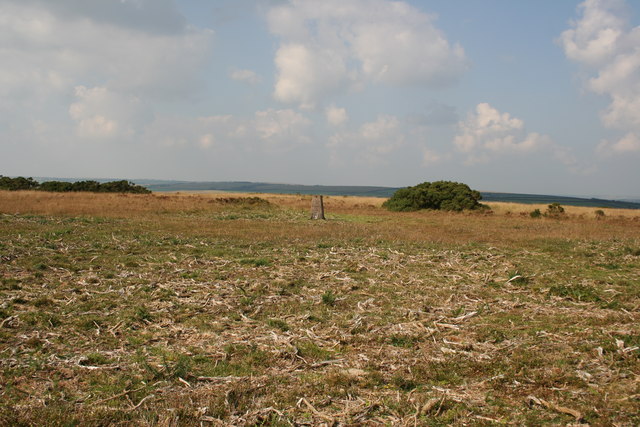
The site comprises a collection of barrows, which are burial mounds constructed by prehistoric communities to inter their dead. These barrows vary in size and shape, with some being circular and others elongated. It is believed that they were used for multiple burials, representing a long period of use and indicating the significance of the site to the local population.
The barrows at West Anstey are made of earth and stones, and some have been modified over time due to agricultural activities. Although erosion and vegetation growth have affected the original shape and size of some barrows, their historical value remains intact.
Excavations conducted at West Anstey Barrows have uncovered various artifacts and funerary goods, including pottery, flint tools, and bronze objects. These findings provide valuable insights into the lives, customs, and beliefs of the people who inhabited the area during the Bronze Age.
Today, West Anstey Barrows is protected as a Scheduled Ancient Monument, ensuring its preservation and safeguarding its cultural and historical significance. Visitors to the site can explore the barrows, taking in the tranquil surroundings and experiencing a connection to the past. It serves as a reminder of the rich heritage of Devon and the ancient civilizations that once thrived in the region.
If you have any feedback on the listing, please let us know in the comments section below.
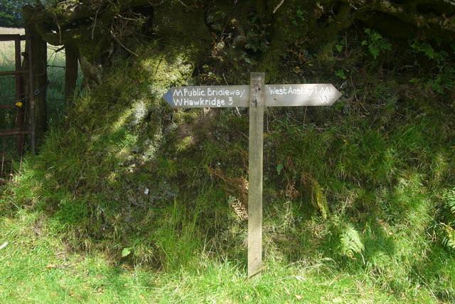
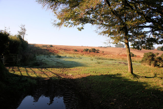
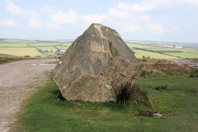
West Anstey Barrows Images
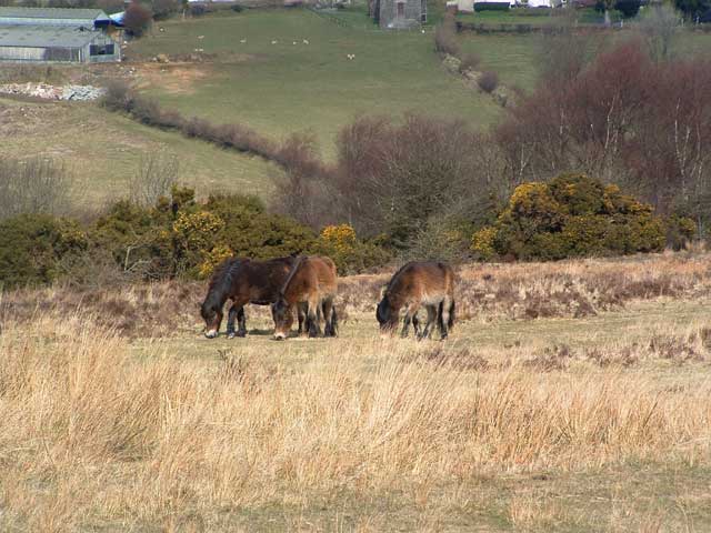
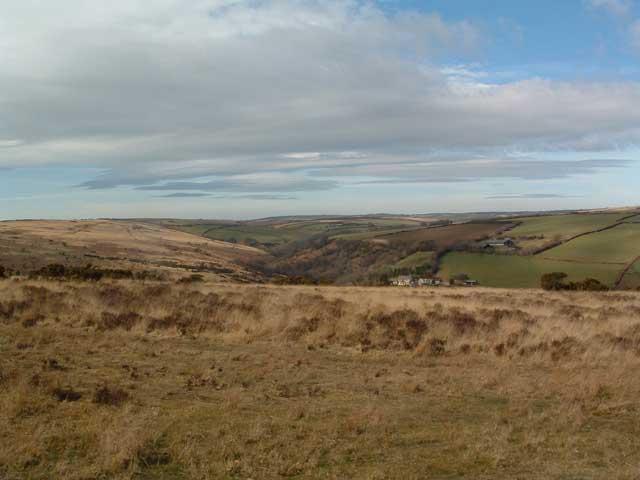
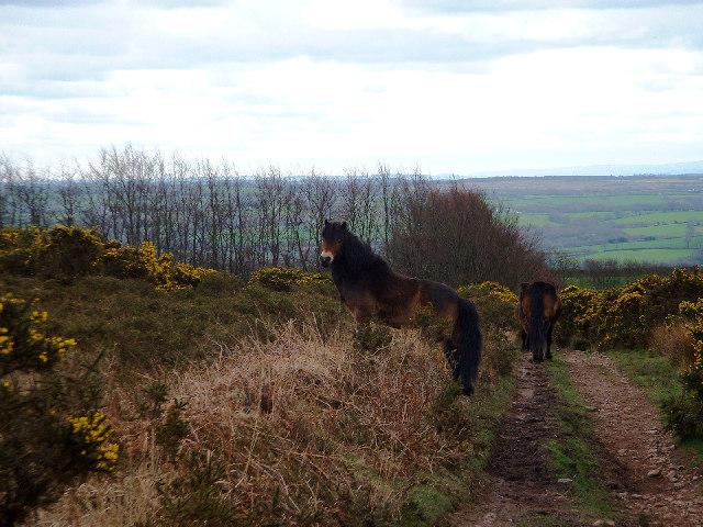
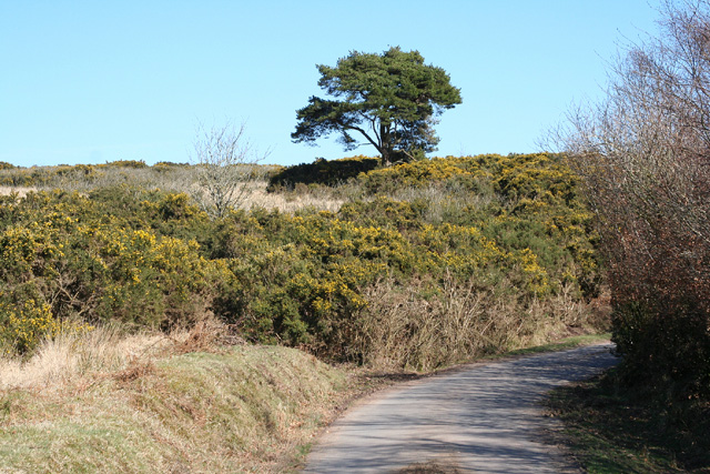
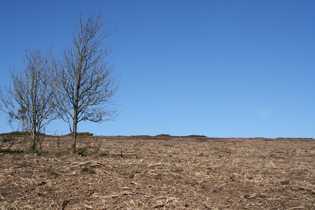
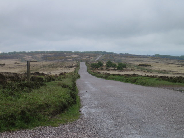
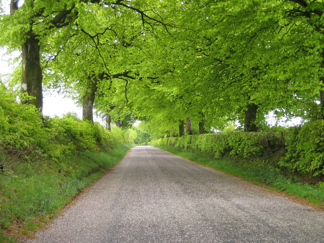
Images are sourced within 2km of 51.053/-3.633 or Grid Reference SS8529. Thanks to Geograph Open Source API. All images are credited.

West Anstey Barrows is located at Grid Ref: SS8529 (Lat: 51.053, Lng: -3.633)
Administrative County: Devon
District: North Devon
Police Authority: Devon and Cornwall
What 3 Words
///sedated.cosmic.riches. Near Dulverton, Somerset
Nearby Locations
Related Wikis

Church of St Giles, Hawkridge
The Anglican Church of St Giles in Hawkridge, Somerset, England was built in the 14th century. It is a Grade II* listed building. == History == The oldest...

West Anstey
West Anstey is a village and civil parish on the River Yeo, about 5 miles west of Dulverton, in the North Devon district, in the county of Devon, England...

Brewer's Castle
Brewer's Castle is a defended Iron Age settlement in the West Somerset district of Somerset, England. The hill fort is situated approximately 2 miles...

Mounsey Castle
Mounsey Castle is an Iron Age irregular triangular earthwork of 1.75 hectares (4.3 acres) north west of Dulverton, Somerset, England. It has been scheduled...

Tarr Steps
The Tarr Steps is a clapper bridge across the River Barle in the Exmoor National Park, Somerset, England. They are located in a national nature reserve...

Ashwick House, Dulverton
not to be confused with the 17th century Ashwick Court in eastern Somerset.Ashwick House is an Edwardian mansion in Ashwick, four miles northwest of Dulverton...

Oldways End
Oldways End is a hamlet in the civil parish of East Anstey in the North Devon district of Devon, England. Its nearest town is Tiverton, which lies approximately...

East Anstey
East Anstey is a village and civil parish in the North Devon district of Devon, England. The parish is located in an area which has been designated as...
Nearby Amenities
Located within 500m of 51.053,-3.633Have you been to West Anstey Barrows?
Leave your review of West Anstey Barrows below (or comments, questions and feedback).