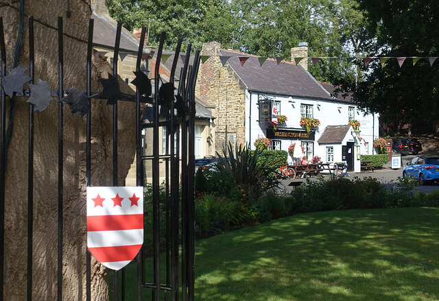
Washington Old Hall
Heritage Site in Durham
England
Washington Old Hall
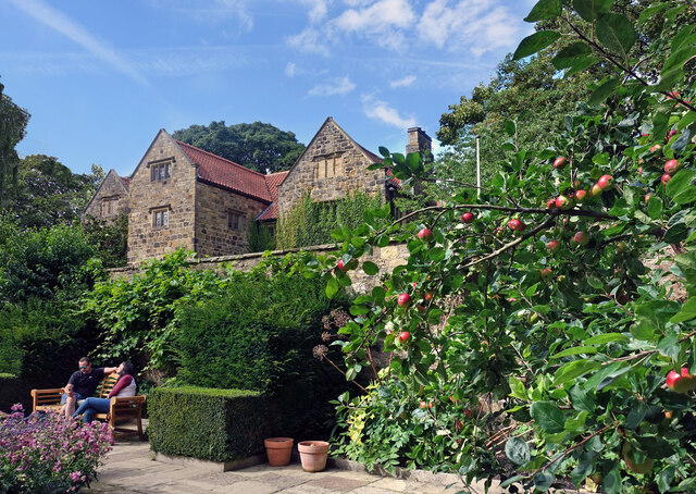
Washington Old Hall is a historic house located in Washington Village, County Durham, England. It is a well-preserved and significant heritage site that holds great historical and cultural importance. The hall dates back to the 12th century and is closely associated with the Washington family, ancestors of George Washington, the first President of the United States.
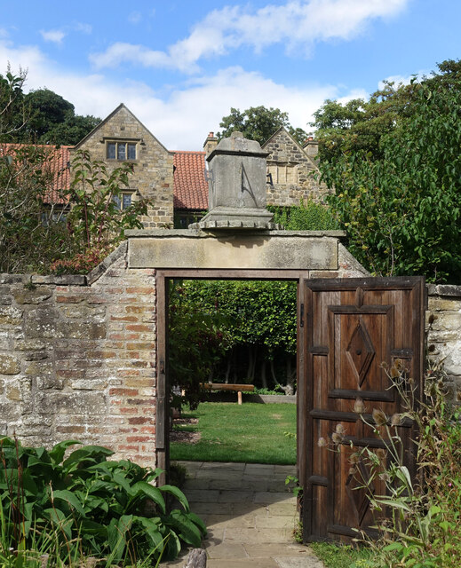
The building itself is a fine example of medieval architecture, featuring a mixture of Tudor and Georgian additions. It is constructed of local stone and has a distinctive black and white exterior. The interior has been carefully restored to reflect different periods of its history, with original features such as oak paneling and fireplaces.
Visitors to Washington Old Hall can explore the various rooms and learn about the history of the Washington family. The Great Hall, with its impressive timber ceiling, is particularly noteworthy. The hall also houses a collection of Washington family memorabilia, including a letter from George Washington himself.
The surrounding gardens and grounds are beautifully landscaped, providing a tranquil space to relax and enjoy the outdoors. There is a knot garden, a herb garden, and a peaceful orchard.
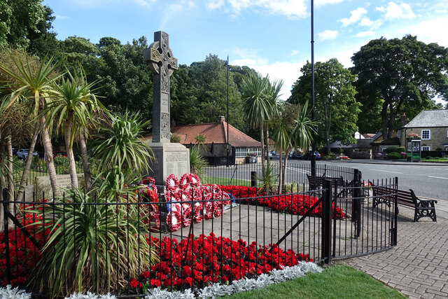
Throughout the year, Washington Old Hall hosts a range of events and activities, including guided tours, exhibitions, and educational programs. It offers an immersive experience into the history and heritage of the Washington family, making it a popular destination for history enthusiasts and those interested in genealogy.
In summary, Washington Old Hall is a remarkable heritage site that showcases the rich history and ancestral connections of the Washington family. Its architectural beauty, historical significance, and serene surroundings make it a must-visit destination for both locals and tourists alike.
If you have any feedback on the listing, please let us know in the comments section below.
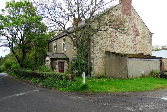
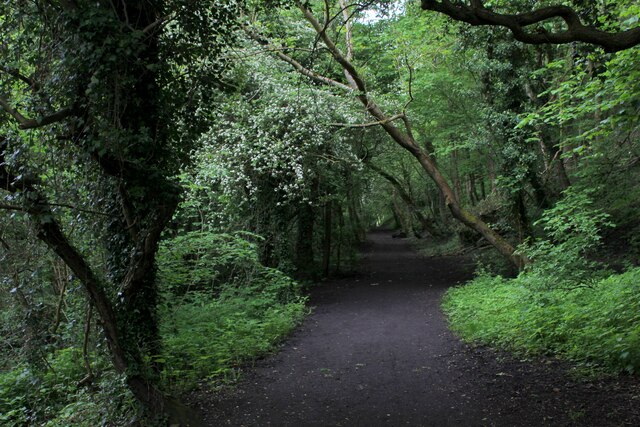
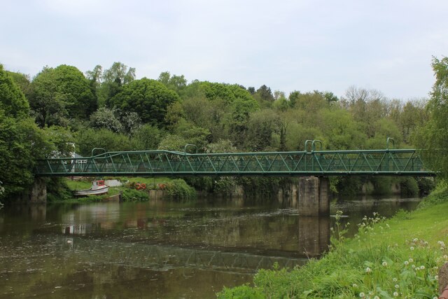
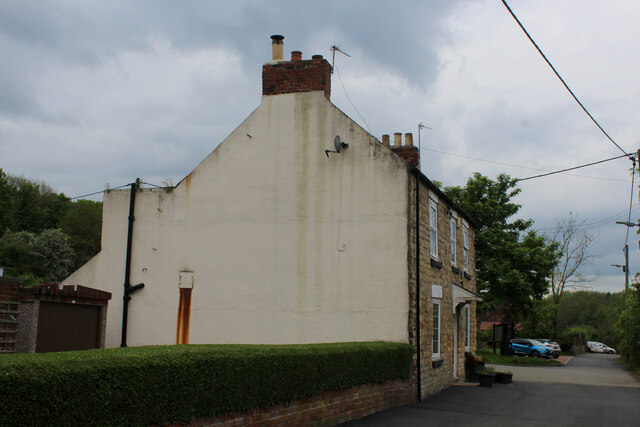
Washington Old Hall Images
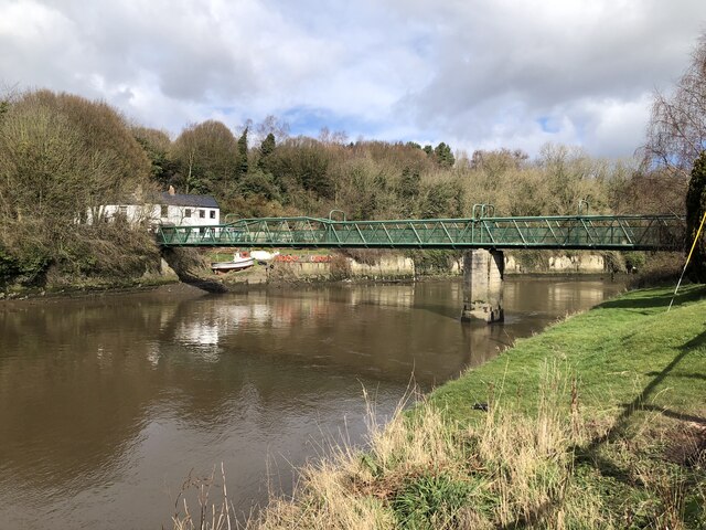
Images are sourced within 2km of 54.902/-1.516 or Grid Reference NZ3156. Thanks to Geograph Open Source API. All images are credited.


Washington Old Hall is located at Grid Ref: NZ3156 (Lat: 54.902, Lng: -1.516)
Unitary Authority: Sunderland
Police Authority: Northumbria
What 3 Words
///mental.puppy.items. Near Washington, Tyne & Wear
Nearby Locations
Related Wikis

Washington Old Hall
Washington Old Hall is a historic manor house in Washington, Tyne and Wear, England. It lies in the centre of Washington, being surrounded by other villages...

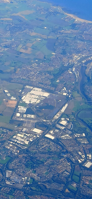
Washington, Tyne and Wear
Washington is a town in the City of Sunderland district of Tyne and Wear, England. Historically part of County Durham, it is the ancestral settlement of...

Columbia, Tyne and Wear
Columbia is one of the village subdivisions of the town of Washington, Tyne and Wear, England. == References == === Cross-reference === === Sources ===
Washington Academy, Sunderland
Washington Academy (formerly Washington Grammar School and then Washington School) is a co-educational secondary school located in Washington in the City...

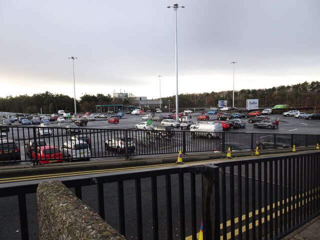
Galleries Shopping Centre, Washington
Galleries Shopping Centre is a shopping centre located in Washington, City of Sunderland. == Shops == The shopping centre comprises over 200 retail units...

Washington railway station (England)
Washington railway station served the town of Washington, Tyne and Wear, England from 1835 to 1963, initially on the Stanhope & Tyne Railway and later...

Usworth railway station
Usworth railway station served the village of Usworth, Washington, England from 1864 to 1963 on the Leamside line. == History == The station was opened...
St Robert of Newminster Catholic School
St Robert of Newminster Catholic School is a co-educational secondary school and sixth form located in Washington in the City of Sunderland, Tyne and Wear...
Nearby Amenities
Located within 500m of 54.902,-1.516Have you been to Washington Old Hall?
Leave your review of Washington Old Hall below (or comments, questions and feedback).