Waseley Hills Office
Heritage Site in Worcestershire Bromsgrove
England
Waseley Hills Office
Waseley Hills Office, located in Worcestershire, England, is a heritage site that holds significant historical and cultural value. Situated in the picturesque Waseley Hills Country Park, the office building serves as a visitor center and administrative hub for the park.
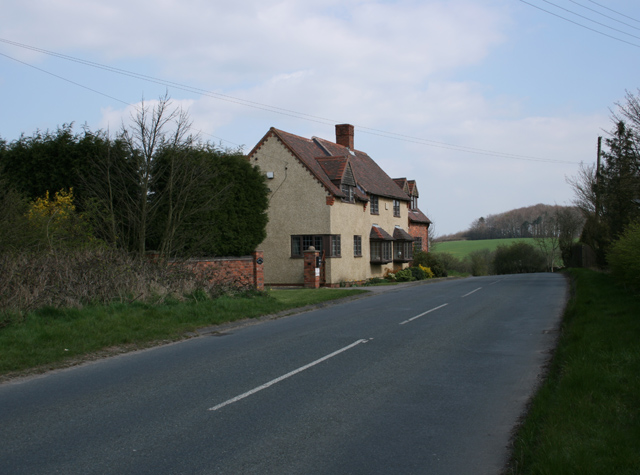
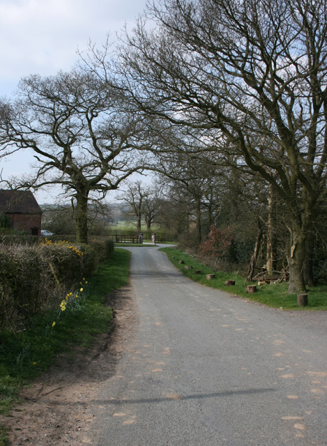
The Waseley Hills Office is housed in a charming stone building, which is believed to have been constructed in the early 1900s. The structure's architectural style showcases a blend of traditional and rustic elements, reflecting the region's heritage. The office is nestled amidst the scenic beauty of the country park, surrounded by lush greenery and rolling hills.
As a visitor center, Waseley Hills Office offers a range of services and information to park visitors. Knowledgeable staff members are on hand to provide guidance and answer queries, ensuring a pleasant experience for all. The center also houses exhibits and displays that explore the park's natural and cultural heritage, allowing visitors to learn about the rich history of the area.
In addition to its role as a visitor center, Waseley Hills Office serves as an administrative base for the country park. Park management and staff use the facility as a hub for coordinating various activities, including conservation efforts, educational programs, and community events.
Overall, Waseley Hills Office is a vital component of the Waseley Hills Country Park, offering a gateway to its natural beauty and acting as a focal point for preserving and sharing the area's heritage.
If you have any feedback on the listing, please let us know in the comments section below.
Waseley Hills Office Images
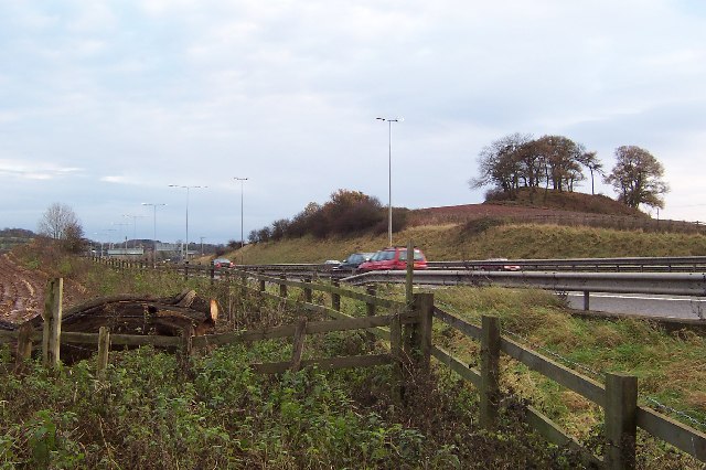
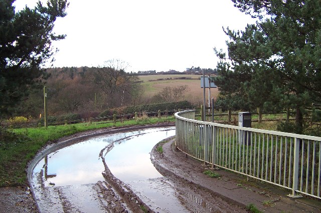
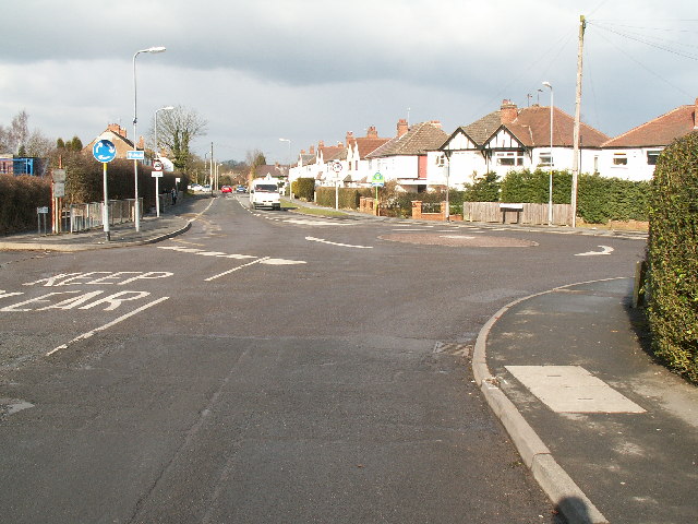
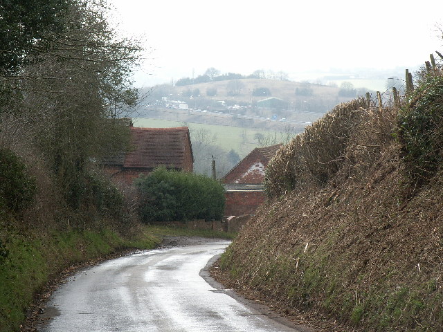
Images are sourced within 2km of 52.402/-2.043 or Grid Reference SO9778. Thanks to Geograph Open Source API. All images are credited.

Waseley Hills Office is located at Grid Ref: SO9778 (Lat: 52.402, Lng: -2.043)
Administrative County: Worcestershire
District: Bromsgrove
Police Authority: West Mercia
What 3 Words
///runner.gravy.manage. Near Romsley, Worcestershire
Nearby Locations
Related Wikis

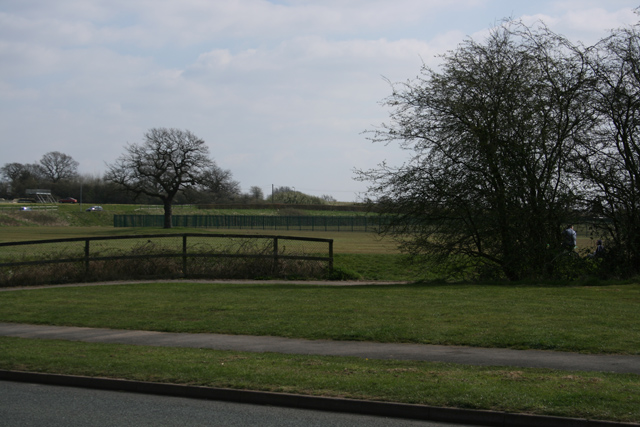
Waseley Hills Country Park
Waseley Hills Country Park is 150 acres (0.61 km2) a Country Park and Local Nature Reserve owned and managed by Worcestershire County Council's Countryside...
New Frankley
New Frankley in Birmingham is a civil parish in Birmingham, England. As such, it has its own parish council. == History == It was established in 2000 in...
Waseley Hills High School and Sixth Form Centre
Waseley Hills High School and Sixth Form Centre is a mixed secondary school and sixth form with academy status in the town of Rubery, on the border of...
King Edward VI Balaam Wood Academy
King Edward VI Balaam Wood Academy is a coeducational secondary school located in the New Frankley area of Birmingham, West Midlands, England.The school...

St Chad's Church, Rubery
St Chad’s Church, Rubery is a Church of England parish church in Rubery, Worcestershire. == History == The church evolved in 1895 as a mission church from...

Rubery railway station
Rubery railway station was a railway station in Rubery, Birmingham, England, on the Great Western Railway and Midland Railway's joint Halesowen Railway...

Romsley, Worcestershire
Romsley is a village and civil parish in the Bromsgrove District of Worcestershire, England, on the east side of the Clent Hills about 4 miles south of...

Rubery Hill Hospital
Rubery Hill Hospital was a mental health facility in Birmingham, England. The Chapel, which still survives, is a Grade II listed building. == History... ==
Nearby Amenities
Located within 500m of 52.402,-2.043Have you been to Waseley Hills Office?
Leave your review of Waseley Hills Office below (or comments, questions and feedback).