War Stone
Heritage Site in Shropshire
England
War Stone
The requested URL returned error: 429 Too Many Requests
If you have any feedback on the listing, please let us know in the comments section below.
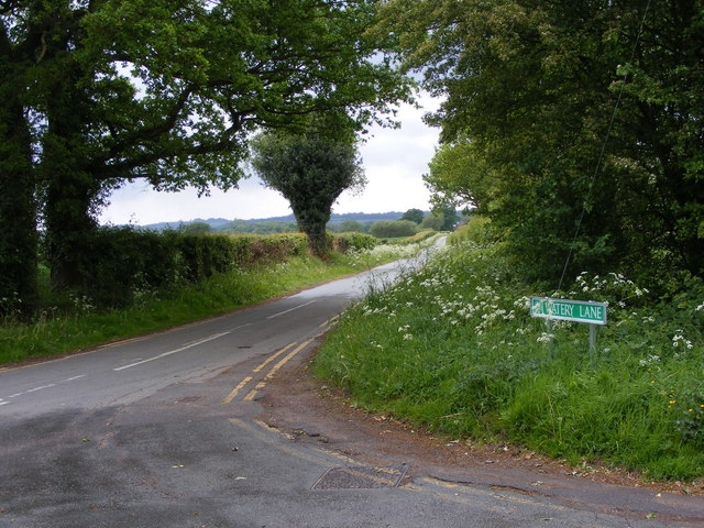
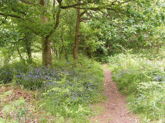
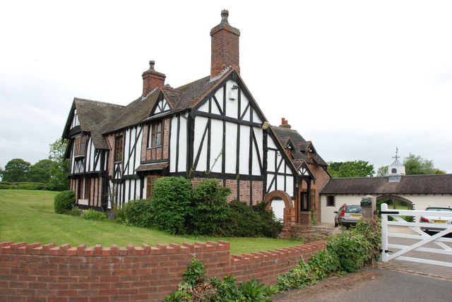
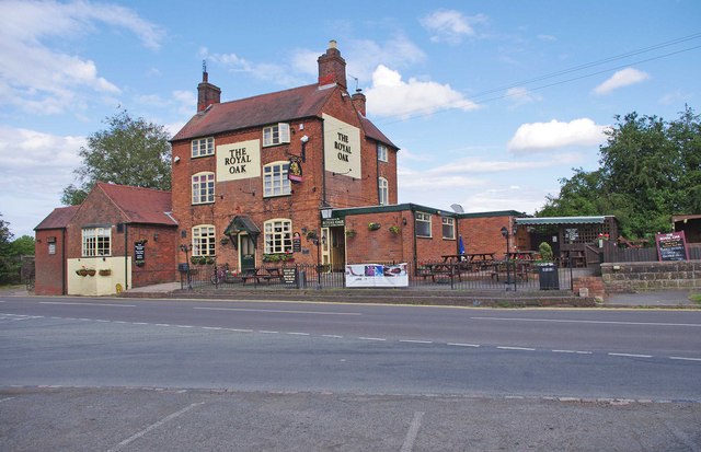
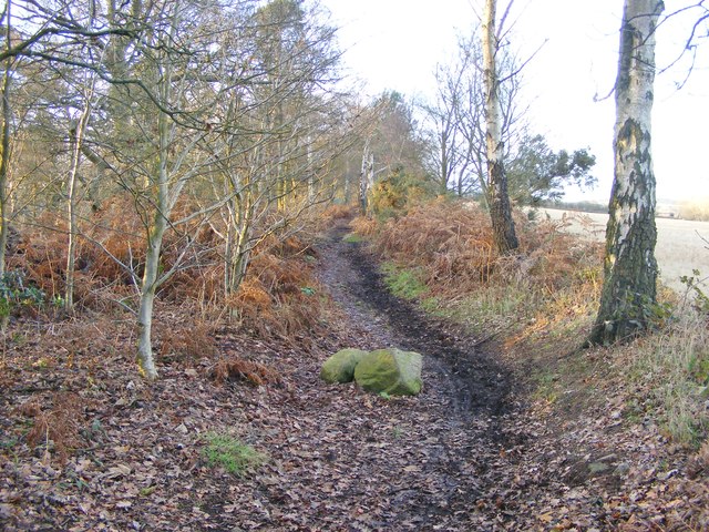
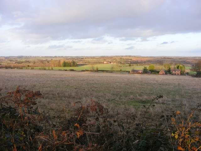
War Stone Images
Images are sourced within 2km of 52.53/-2.243 or Grid Reference SO8392. Thanks to Geograph Open Source API. All images are credited.
War Stone is located at Grid Ref: SO8392 (Lat: 52.53, Lng: -2.243)
What 3 Words
///cared.cornering.scratches. Near Wombourn, Staffordshire
Nearby Locations
Related Wikis

Wolverhampton Airport
Wolverhampton Halfpenny Green Airport (ICAO: EGBO), formerly Halfpenny Green Airport and Wolverhampton Business Airport, locally Bobbington Airport, is...

Trysull and Seisdon
Trysull and Seisdon is a conjoined civil parish in the South Staffordshire non-metropolitan district, in the county of Staffordshire, England. The population...
Seisdon Rural District
Seisdon was a rural district in Staffordshire, England from 1894 to 1974. It lay to the west of Wolverhampton and was formed under the Local Government...

Trysull
Trysull is a rural village in the county of Staffordshire, England approximately five miles south-west of Wolverhampton. With the adjacent village of...
Nearby Amenities
Located within 500m of 52.53,-2.243Have you been to War Stone?
Leave your review of War Stone below (or comments, questions and feedback).