Warbstow Bury
Heritage Site in Cornwall
England
Warbstow Bury

Warbstow Bury is an ancient hillfort located in the rural parish of Warbstow, Cornwall, England. Situated approximately 6 miles south of Bude, it is considered one of the most significant heritage sites in the region. The hillfort sits atop a prominent hill, providing panoramic views of the surrounding landscape.
Dating back to the Iron Age, Warbstow Bury is believed to have been constructed around 500 BC and occupied until the Roman invasion of Britain in the 1st century AD. The site covers an area of approximately 12 acres and is enclosed by impressive earthwork ramparts, which are still visible today. These ramparts were likely built to fortify the settlement and protect its inhabitants.
Excavations at Warbstow Bury have revealed evidence of roundhouses and other structures within the enclosure, suggesting that it was once a thriving community. Artifacts such as pottery, tools, and animal bones have been uncovered, shedding light on the daily lives of the people who lived here over 2,000 years ago.
In addition to its archaeological significance, Warbstow Bury is also known for its natural beauty. Surrounded by rolling countryside and offering breathtaking views, the site attracts visitors interested in both history and the outdoors. There are footpaths leading to the hillfort, allowing visitors to explore the area and experience its tranquility.
Warbstow Bury is managed and maintained by English Heritage, which ensures its preservation and provides interpretation for visitors. The site offers a unique opportunity to step back in time and imagine what life was like in Cornwall during the Iron Age.
If you have any feedback on the listing, please let us know in the comments section below.
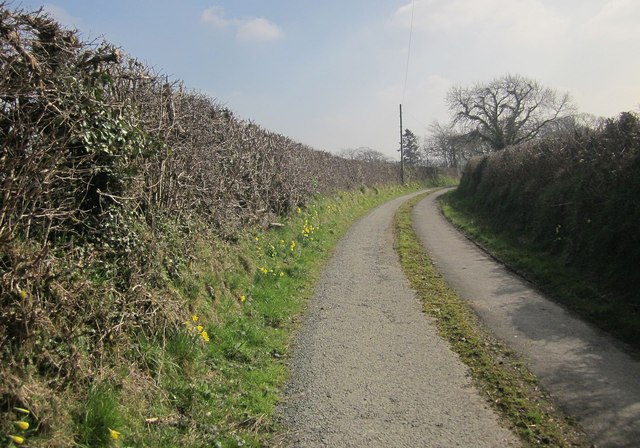
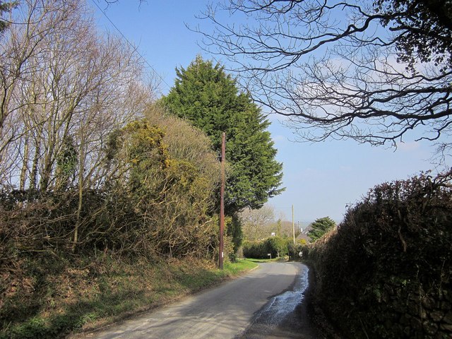
Warbstow Bury Images
Images are sourced within 2km of 50.687/-4.542 or Grid Reference SX2090. Thanks to Geograph Open Source API. All images are credited.


Warbstow Bury is located at Grid Ref: SX2090 (Lat: 50.687, Lng: -4.542)
Unitary Authority: Cornwall
Police Authority: Devon and Cornwall
What 3 Words
///defender.highbrow.drums. Near Jacobstow, Cornwall
Nearby Locations
Related Wikis
Warbstow
Warbstow (Cornish: Lannwarburgh) is a village and civil parish in Cornwall, England, United Kingdom. The parish has a population of 439 according to the...
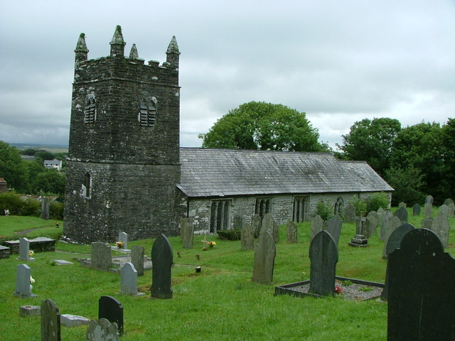
St Werburgh's Church, Warbstow
St Werburgh's Church, Warbstow is a Grade II* listed parish church in the Church of England in Warbstow, Cornwall. == History == Both the neighbouring...

Warbstow Bury
Warbstow Bury is an Iron Age hillfort about 0.5 miles (0.80 km) west of the village of Warbstow, in Cornwall, England. It is a scheduled monument. ��2...

Downinney
Downinney is a hamlet in the civil parish of Warbstow, Cornwall, England. Downinney was recorded in the Domesday Book, 1086: there was land for 12 ploughs...
Nearby Amenities
Located within 500m of 50.687,-4.542Have you been to Warbstow Bury?
Leave your review of Warbstow Bury below (or comments, questions and feedback).