Wappenbury Roman Camp

Heritage Site in Warwickshire

England

Wappenbury Roman Camp

Fosse Way bridge over the River Leam
Fosse Way bridge over the River Leam Credit: Jonathan Thacker

Wappenbury Roman Camp is a significant heritage site located in Warwickshire, England. It is an ancient Roman fortification that dates back to the 1st century AD. The camp covers an area of approximately 8.5 acres and is situated on a hilltop overlooking the River Leam.

The fortification at Wappenbury Roman Camp was constructed during the Roman conquest of Britain and was likely used as a strategic military outpost during this period. The site consists of a rectangular enclosure with rounded corners, surrounded by a ditch and rampart. The remains of the earthworks can still be seen today, although they have eroded over time.

Excavations at Wappenbury Roman Camp have revealed various Roman artifacts, including pottery, coins, and building materials, providing valuable insights into the daily lives and activities of the Roman soldiers who once occupied the site. These artifacts suggest that the camp was most likely used for short-term military campaigns rather than as a permanent settlement.

The site is now a Scheduled Ancient Monument and is protected by law. It is open to the public, allowing visitors to explore the remains of the fortification and learn about its historical significance. Interpretive signs and information boards are placed throughout the site to provide visitors with a better understanding of its history.

Wappenbury Roman Camp offers a unique opportunity to experience firsthand the remnants of Roman military infrastructure and gain a glimpse into the Roman presence in Warwickshire during the 1st century AD.

If you have any feedback on the listing, please let us know in the comments section below.

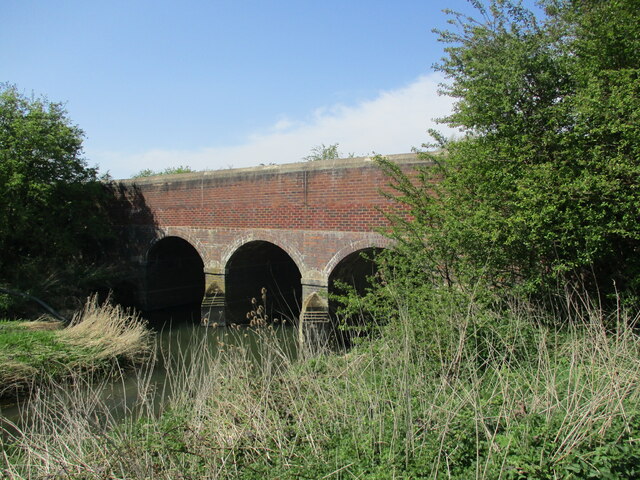
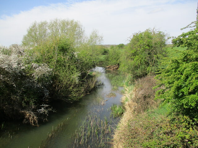
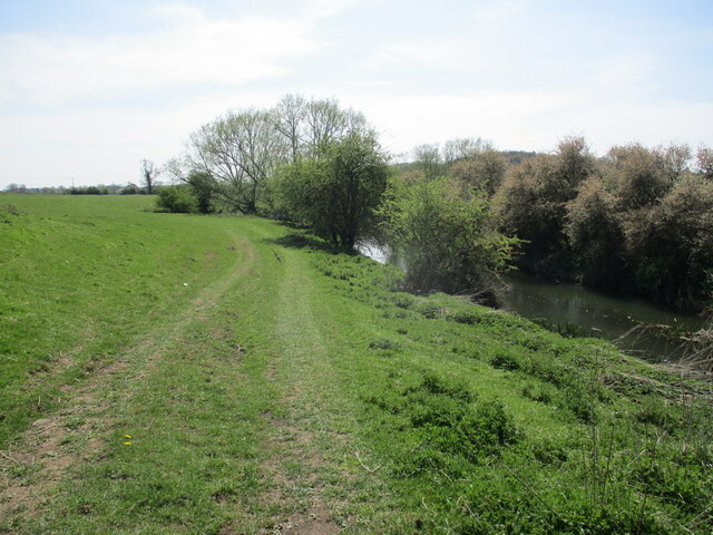
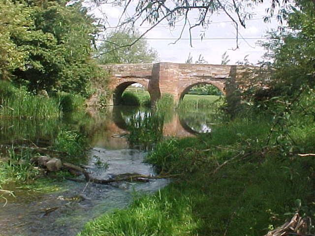
Wappenbury Roman Camp Images

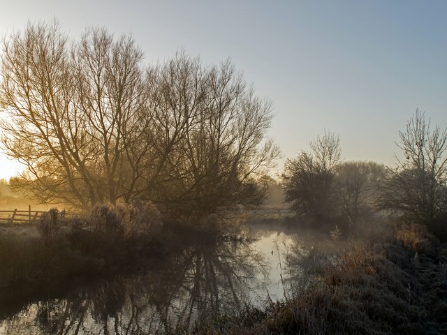
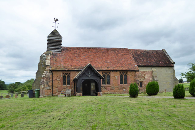
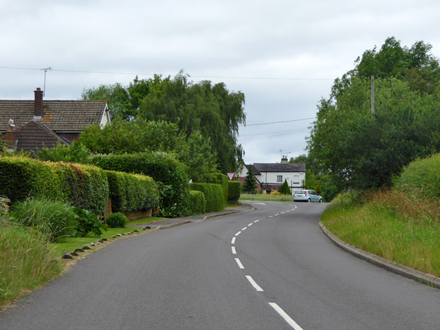
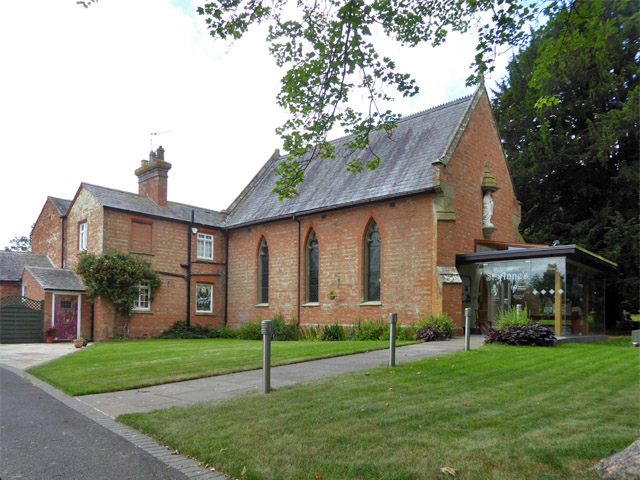
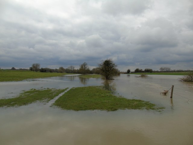
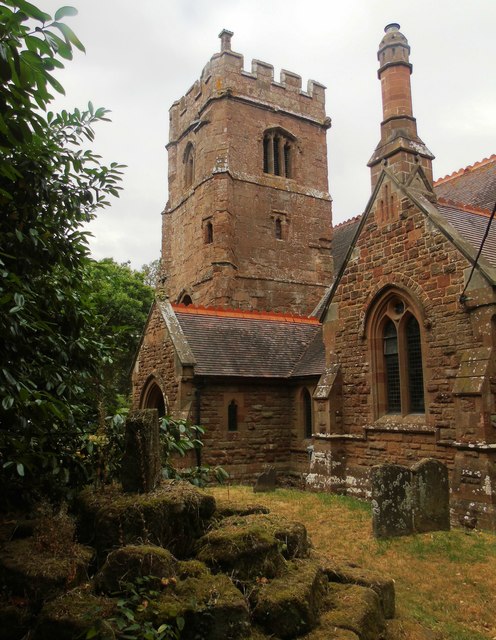
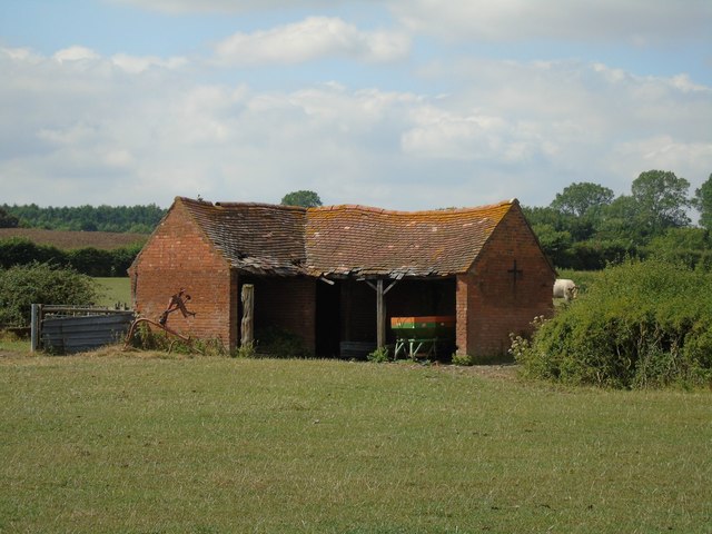
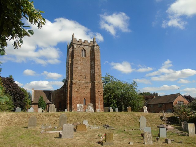
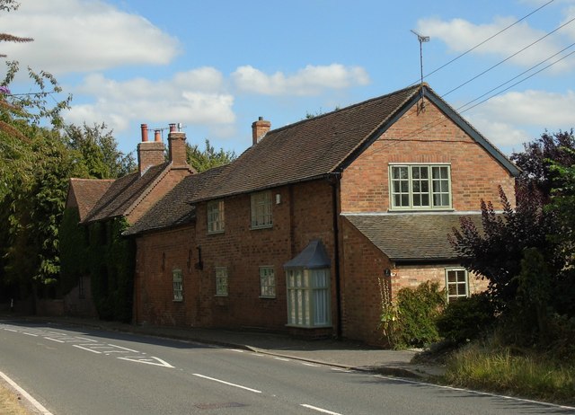
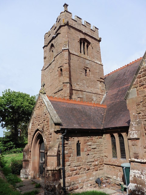
Images are sourced within 2km of 52.3219/-1.4457 or Grid Reference SP3769. Thanks to Geograph Open Source API. All images are credited.

Fosse Way bridge over the River Leam
The River Leam north of Eathorpe Looking downstream.
The River Leam north of Eathorpe
Looking downstream.
The River Leam north of Eathorpe Looking upstream.
The River Leam north of Eathorpe
Looking upstream.
Bridge over the River Leam
River Leam at Eathorpe Sunlight catches the willows on a frosty winter morning as the river steams.
River Leam at Eathorpe
Sunlight catches the willows on a frosty winter morning as the river steams.
Hunningham church St. Margaret's is a grade II listed building.
Hunningham church
St. Margaret's is a grade II listed building.
Outskirts of Weston under Wetherley Most of the village is off to the left at the junction ahead.
Outskirts of Weston under Wetherley
Most of the village is off to the left at the junction ahead.
Wappenbury Roman Catholic church St. Anne's is administered by the Missionaries of the Sacred Heart, I think it says on the glass porch.
Wappenbury Roman Catholic church
St. Anne's is administered by the Missionaries of the Sacred Heart, I think it says on the glass porch.
Road from Wappenbury to Eathorpe Descending to cross the River Leam.
Road from Wappenbury to Eathorpe
Descending to cross the River Leam.
Road from Eathorpe meets the Fosse Way The B4455 signs have brown parts indicating that it is the historic route of the Fosse Way, but just here the current road seems to make a small diversion around the local big house and park off to the right. The road whose end is just showing at the near right looks a more convincing ancient alignment.
Road from Eathorpe meets the Fosse Way
The B4455 signs have brown parts indicating that it is the historic route of the Fosse Way, but just here the current road seems to make a small diversion around the local big house and park off to the right. The road whose end is just showing at the near right looks a more convincing ancient alignment.
Bridge over the River Leam
Hunningham Church
Hunningham Church
River Leam at Hunningham In flood, Easter 2018.
River Leam at Hunningham
In flood, Easter 2018.
Wappenbury Church
Wappenbury Church
Farm Building
Farm Building
Church of St Michael, Weston under Wetherley
Cottages by the Church, Weston under Wetherley
Wappenbury, Warwickshire, St John the Baptist
Show me another place!

Wappenbury Roman Camp is located at Grid Ref: SP3769 (Lat: 52.3219, Lng: -1.4457)

Police Authority: Warwickshire

What 3 Words

///otherwise.hike.clearing. Near Ryton on Dunsmore, Warwickshire

Related Wikis

Related Videos

Walking Shakespeare’s Avon Way - Stage 4 - Wolston to Cubbingbton

Stage 4 of this walk saw us leave beautiful Wolston through woods and into areas which have been used for quarrying. The path ...

The Millennium Way - Long Itchington to Offchurch

Stage 4 of our Millennium Way adventures on Day Walks. Every trail provides a rough day or two. This was one of them and it ...

Ryton Pools Country Park

Travel by Ryton Pools Country Park.

Nearby Amenities

Located within 500m of 52.3219,-1.4457
Bus Stop
Leamington Road
Bus: yes
Naptan AtcoCode: 4200F071900
Naptan Bearing: N
Naptan CommonName: Leamington Road
Naptan Indicator: Jcn
Naptan NaptanCode: waragpdt
Naptan Street: Main Street
Naptan Verified: no
Public Transport: platform
Source: naptan_import
Lat/Long: 52.3248392/-1.4476346
Bus Stop
Leamington Road
Bus: yes
Naptan AtcoCode: 4200F071901
Naptan Bearing: S
Naptan BusStopType: CUS
Naptan CommonName: Leamington Road
Naptan Indicator: Jcn
Naptan NaptanCode: wardjmwd
Naptan Street: Main Street
Naptan Verified: no
Public Transport: platform
Source: naptan_import
Lat/Long: 52.3247751/-1.447386
Wappenbury
Place: village
Wikidata: Q4027226
Lat/Long: 52.3215949/-1.4459339
Barrier: stile
Lat/Long: 52.3199492/-1.4490284
Post Box
Brand: Royal Mail
Brand Wikidata: Q638098
Collection Times: Mo-Fr 16:15; Sa 09:30
Operator: Royal Mail
Operator Wikidata: Q638098
Post Box Mounting: brick_pillar
Post Box Type: wall
Ref: CV33 138
Royal Cypher: EIIR
Royal Cypher Wikidata: Q33102113
Source: survey
Lat/Long: 52.3217417/-1.4462437
Barrier: kissing_gate
Lat/Long: 52.3238632/-1.4438998
Bench
Source: survey
Lat/Long: 52.3219446/-1.4460847
Material: wood
Operator: National Grid Electricity Distribution
Operator Wikidata: Q7988183
Power: pole
Source: Warwicks CC Aerial Imagery 2013
Lat/Long: 52.3217822/-1.4384499
Material: wood
Operator: National Grid Electricity Distribution
Operator Wikidata: Q7988183
Power: pole
Source: Warwicks CC Aerial Imagery 2013
Lat/Long: 52.3211928/-1.4386645
Material: wood
Operator: National Grid Electricity Distribution
Operator Wikidata: Q7988183
Power: pole
Source: Warwicks CC Aerial Imagery 2013
Lat/Long: 52.3204632/-1.4389193
Material: wood
Operator: National Grid Electricity Distribution
Operator Wikidata: Q7988183
Power: pole
Source: Warwicks CC Aerial Imagery 2013
Lat/Long: 52.3190188/-1.4404938
Material: wood
Operator: National Grid Electricity Distribution
Operator Wikidata: Q7988183
Power: pole
Source: Warwicks CC Aerial Imagery 2013
Lat/Long: 52.3190893/-1.4414057
Material: wood
Operator: National Grid Electricity Distribution
Operator Wikidata: Q7988183
Power: pole
Source: Warwicks CC Aerial Imagery 2013
Lat/Long: 52.3187795/-1.4425296
Material: wood
Operator: National Grid Electricity Distribution
Operator Wikidata: Q7988183
Power: pole
Source: Warwicks CC Aerial Imagery 2013
Lat/Long: 52.3186778/-1.4435837
Material: wood
Operator: National Grid Electricity Distribution
Operator Wikidata: Q7988183
Power: pole
Source: Warwicks CC Aerial Imagery 2013
Lat/Long: 52.3185762/-1.4448845
Material: wood
Operator: National Grid Electricity Distribution
Operator Wikidata: Q7988183
Power: pole
Source: Warwicks CC Aerial Imagery 2013
Lat/Long: 52.3184696/-1.4460647
Material: wood
Operator: National Grid Electricity Distribution
Operator Wikidata: Q7988183
Power: pole
Source: Warwicks CC Aerial Imagery 2013
Lat/Long: 52.3183663/-1.4472798
Material: wood
Operator: National Grid Electricity Distribution
Operator Wikidata: Q7988183
Power: pole
Source: Warwicks CC Aerial Imagery 2013
Lat/Long: 52.318222/-1.4488301
Brand: National Grid
Brand Wikidata: Q1465461
Material: wood
Operator: National Grid Electricity Distribution
Operator Old: Western Power Distribution
Operator Wikidata: Q7988183
Owner: National Grid Electricity Distribution (East Midlands) Plc
Owner Wikidata: Q114348127
Power: pole
Lat/Long: 52.3235906/-1.4472139
Brand: National Grid
Brand Wikidata: Q1465461
Material: wood
Operator: National Grid Electricity Distribution
Operator Old: Western Power Distribution
Operator Wikidata: Q7988183
Owner: National Grid Electricity Distribution (East Midlands) Plc
Owner Wikidata: Q114348127
Power: pole
Lat/Long: 52.3246979/-1.4429654
Brand: National Grid
Brand Wikidata: Q1465461
Material: wood
Operator: National Grid Electricity Distribution
Operator Old: Western Power Distribution
Operator Wikidata: Q7988183
Owner: National Grid Electricity Distribution (East Midlands) Plc
Owner Wikidata: Q114348127
Power: pole
Lat/Long: 52.3243155/-1.4443481
Brand: National Grid
Brand Wikidata: Q1465461
Material: wood
Operator: National Grid Electricity Distribution
Operator Old: Western Power Distribution
Operator Wikidata: Q7988183
Owner: National Grid Electricity Distribution (East Midlands) Plc
Owner Wikidata: Q114348127
Power: pole
Lat/Long: 52.3251678/-1.4413344
Brand: National Grid
Brand Wikidata: Q1465461
Material: wood
Operator: National Grid Electricity Distribution
Operator Old: Western Power Distribution
Operator Wikidata: Q7988183
Owner: National Grid Electricity Distribution (East Midlands) Plc
Owner Wikidata: Q114348127
Power: pole
Lat/Long: 52.3218941/-1.4504692
Brand: National Grid
Brand Wikidata: Q1465461
Material: wood
Operator: National Grid Electricity Distribution
Operator Old: Western Power Distribution
Operator Wikidata: Q7988183
Owner: National Grid Electricity Distribution (East Midlands) Plc
Owner Wikidata: Q114348127
Power: pole
Lat/Long: 52.3239318/-1.4457079
Brand: National Grid
Brand Wikidata: Q1465461
Material: wood
Operator: National Grid Electricity Distribution
Operator Old: Western Power Distribution
Operator Wikidata: Q7988183
Owner: National Grid Electricity Distribution (East Midlands) Plc
Owner Wikidata: Q114348127
Power: pole
Lat/Long: 52.3230203/-1.4481874
Brand: National Grid
Brand Wikidata: Q1465461
Material: wood
Operator: National Grid Electricity Distribution
Operator Old: Western Power Distribution
Operator Wikidata: Q7988183
Owner: National Grid Electricity Distribution (East Midlands) Plc
Owner Wikidata: Q114348127
Power: pole
Lat/Long: 52.3224373/-1.4493777
Brand: National Grid
Brand Wikidata: Q1465461
Material: wood
Operator: National Grid Electricity Distribution
Operator Old: Western Power Distribution
Operator Wikidata: Q7988183
Owner: National Grid Electricity Distribution (East Midlands) Plc
Owner Wikidata: Q114348127
Power: pole
Lat/Long: 52.3211153/-1.4520471
The data included in this document is from www.openstreetmap.org. The data is made available under ODbL.

Have you been to Wappenbury Roman Camp?

Leave your review of Wappenbury Roman Camp below (or comments, questions and feedback).