Wansdyke
Heritage Site in Wiltshire
England
Wansdyke
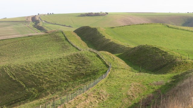
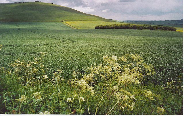
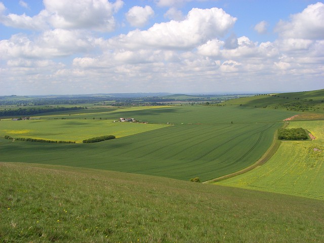
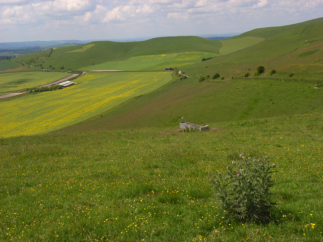
![A walk from Allington to the Wansdyke and back [17] Seen from Rybury, atop Clifford's Hill, is this sweeping view of downland. Hill Barn is in the distance with Milk Hill on the right.
The walk leaves Allington and goes south to run along the towpath of the Kennet and Avon Canal before turning north to cross the minor road at Cannings Cross. Ascending steeply, the path leads to the causewayed enclosure and hillfort of Rybury atop Clifford’s Hill. After a short descent, there is a long climb up Tan Hill to the Wansdyke. A short way along the dyke, the return journey starts, a long descent down a well surfaced track, a public bridleway, to Allington. Just over 4½ miles.](https://s1.geograph.org.uk/geophotos/07/36/45/7364557_c6c3eb1a.jpg)
Wansdyke is an ancient earthwork located in Wiltshire, England. It stretches for approximately 40 miles, running across the landscape from the village of Maes Knoll near Bristol to the town of Savernake near Marlborough. The earthwork is believed to have been constructed during the early medieval period, around the 5th or 6th century AD.
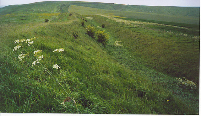
Wansdyke consists of a bank and ditch, with the bank being on the northern side of the earthwork. The bank measures around 20 feet wide and 6 feet high, while the ditch is approximately 10 feet wide and 6 feet deep. The earthwork was likely built as a defensive boundary or demarcation line to protect the kingdom of Wessex from the invading Saxon armies.
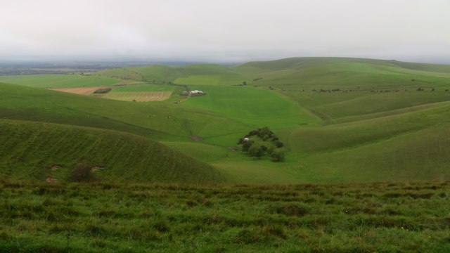
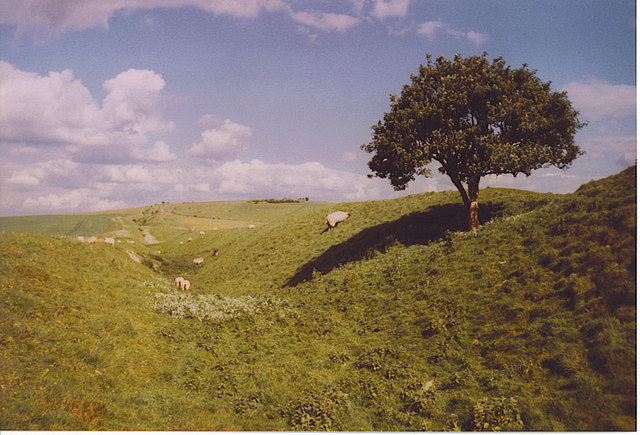
Today, Wansdyke is a designated heritage site and a popular destination for hikers, walkers, and history enthusiasts. The earthwork offers stunning views of the surrounding countryside and provides visitors with a tangible link to the region's ancient past.
Throughout the years, Wansdyke has undergone some erosion and damage, but efforts have been made to preserve and protect this historical monument. Archaeological investigations have taken place at various sections of the earthwork, unearthing artifacts and providing valuable insights into its construction and purpose.
Overall, Wansdyke stands as a testament to the ingenuity and skill of the people who lived in the area centuries ago and serves as a reminder of the rich history of Wiltshire.
If you have any feedback on the listing, please let us know in the comments section below.
Wansdyke Images
Images are sourced within 2km of 51.378/-1.848 or Grid Reference SU1064. Thanks to Geograph Open Source API. All images are credited.
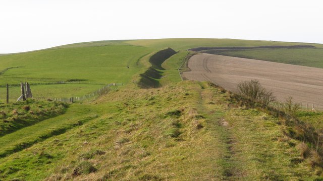
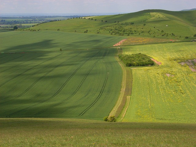
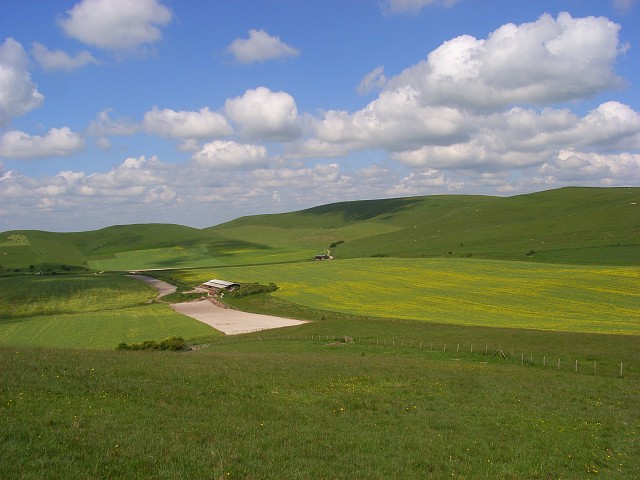
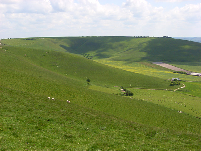
![A walk from Allington to the Wansdyke and back [21] Seen, from the bridleway, is this view of the downs. Hill Barn is just right of centre with Milk Hill beyond.
The walk leaves Allington and goes south to run along the towpath of the Kennet and Avon Canal before turning north to cross the minor road at Cannings Cross. Ascending steeply, the path leads to the causewayed enclosure and hillfort of Rybury atop Clifford’s Hill. After a short descent, there is a long climb up Tan Hill to the Wansdyke. A short way along the dyke, the return journey starts, a long descent down a well surfaced track, a public bridleway, to Allington. Just over 4½ miles.](https://s0.geograph.org.uk/geophotos/07/36/51/7365172_470b9b54.jpg)
Wansdyke is located at Grid Ref: SU1064 (Lat: 51.378, Lng: -1.848)
Unitary Authority: Wiltshire
Police Authority: Wiltshire
What 3 Words
///grinders.emporium.passages. Near Huish, Wiltshire
Related Wikis

Milk Hill
Milk Hill, located near Alton Priors east of Devizes, is the highest point in the county of Wiltshire, southwest England, at some 295 m (968 ft) above...

Alton Barnes White Horse
Alton Barnes White Horse is a chalk hill figure of a white horse located on Milk Hill some 1,000 metres north of the village of Alton, Wiltshire, England...

Pewsey Downs
Pewsey Downs (grid reference SU113636) is a 305.3 hectare biological Site of Special Scientific Interest on the southern edge of the Marlborough Downs...

Adam's Grave
Adam's Grave was a Neolithic long barrow near Alton Barnes in Wiltshire, southwest England. Its remains have been scheduled as an ancient monument.The...
Nearby Amenities
Located within 500m of 51.378,-1.848Have you been to Wansdyke?
Leave your review of Wansdyke below (or comments, questions and feedback).