Milk Hill
Hill, Mountain in Wiltshire
England
Milk Hill
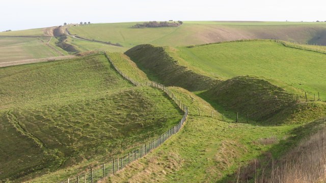
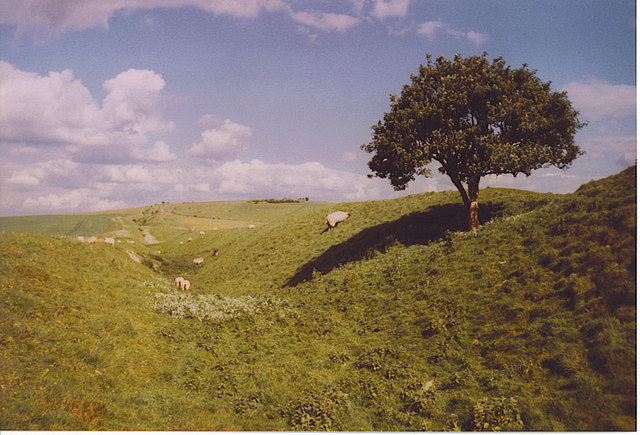
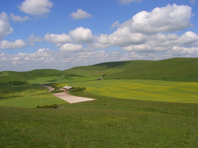
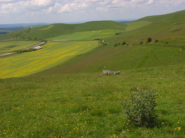
![A walk from Allington to the Wansdyke and back [17] Seen from Rybury, atop Clifford's Hill, is this sweeping view of downland. Hill Barn is in the distance with Milk Hill on the right.
The walk leaves Allington and goes south to run along the towpath of the Kennet and Avon Canal before turning north to cross the minor road at Cannings Cross. Ascending steeply, the path leads to the causewayed enclosure and hillfort of Rybury atop Clifford’s Hill. After a short descent, there is a long climb up Tan Hill to the Wansdyke. A short way along the dyke, the return journey starts, a long descent down a well surfaced track, a public bridleway, to Allington. Just over 4½ miles.](https://s1.geograph.org.uk/geophotos/07/36/45/7364557_c6c3eb1a.jpg)
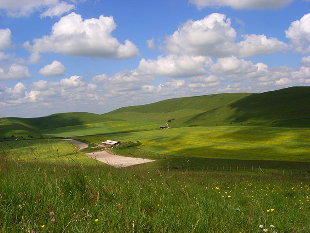
Milk Hill, located in Wiltshire, England, is a prominent hill that forms part of the Marlborough Downs. Sitting at an elevation of 294 meters (965 feet), it is renowned for its stunning panoramic views and historical significance. The hill is located near the village of Alton Barnes and is easily accessible by foot, offering a popular destination for hikers and nature enthusiasts.
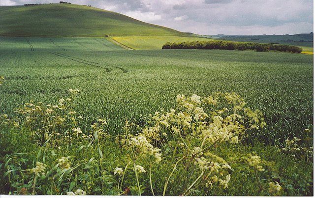
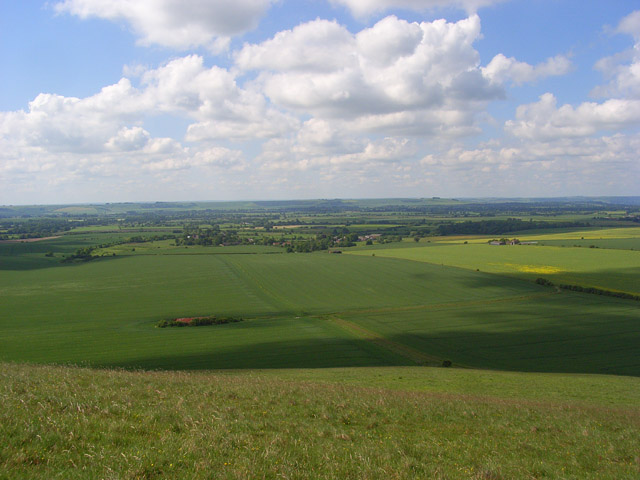
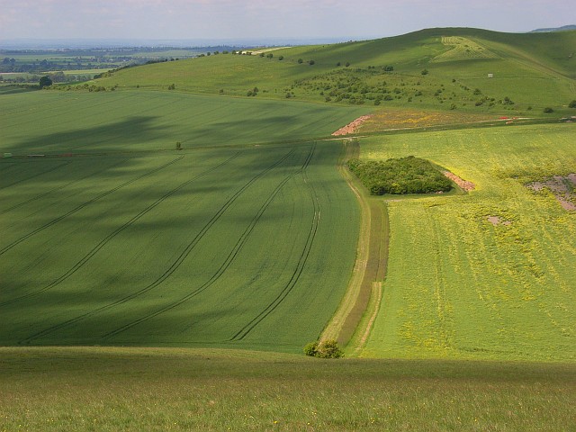
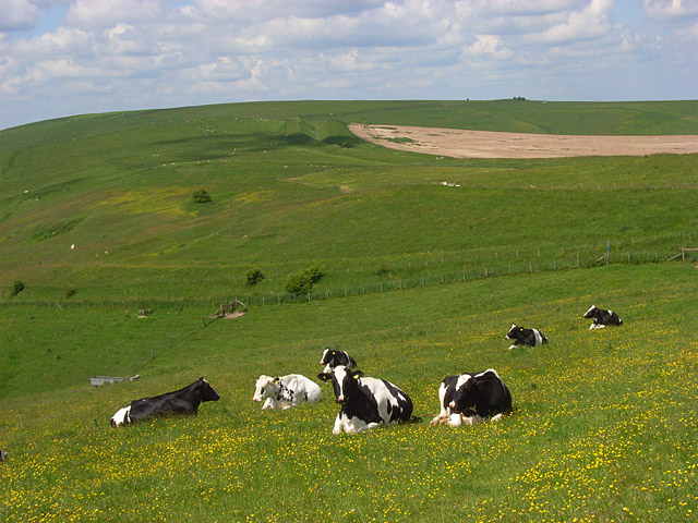
The landscape surrounding Milk Hill is characterized by gentle rolling hills and lush green fields, making it an idyllic spot for outdoor activities such as walking, picnicking, and birdwatching. At the summit of the hill, visitors are treated to breathtaking vistas of the surrounding countryside, including the nearby Pewsey Vale and the ancient Avebury stone circle.
Milk Hill is particularly famous for its intricate crop circles, which often appear in the fields surrounding the hill during the summer months. These formations, created by the flattening of crops, attract tourists and researchers from around the world who are fascinated by their mysterious origins. While the appearance of crop circles remains unexplained, they add an air of intrigue and mystique to Milk Hill and its surroundings.
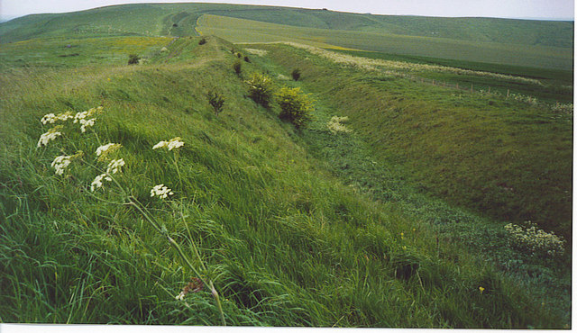
Aside from its natural beauty, Milk Hill also holds historical significance. It is part of the ancient Ridgeway, an ancient trackway that stretches for 87 miles across southern England. This historic trail has been used for thousands of years, dating back to the Neolithic period, and offers visitors a chance to walk in the footsteps of early settlers and explorers.
In conclusion, Milk Hill in Wiltshire is a picturesque hill known for its stunning views, crop circles, and historical significance. Whether it's exploring the surrounding countryside, marveling at the crop formations, or delving into ancient history, Milk Hill offers a captivating experience for all who visit.
If you have any feedback on the listing, please let us know in the comments section below.
Milk Hill Images
Images are sourced within 2km of 51.377785/-1.8515893 or Grid Reference SU1064. Thanks to Geograph Open Source API. All images are credited.
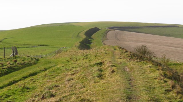
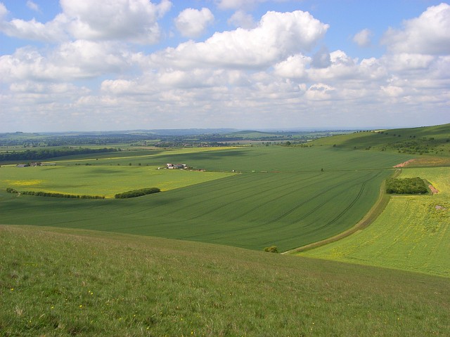
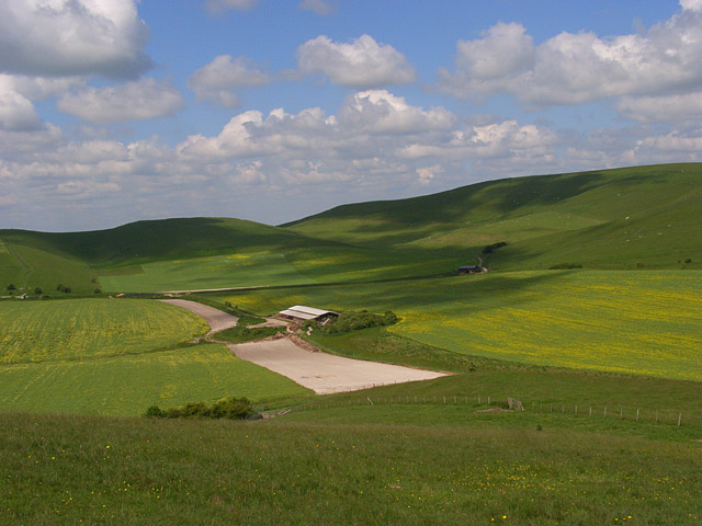
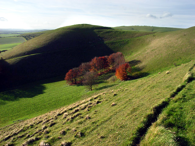
![A walk from Allington to the Wansdyke and back [21] Seen, from the bridleway, is this view of the downs. Hill Barn is just right of centre with Milk Hill beyond.
The walk leaves Allington and goes south to run along the towpath of the Kennet and Avon Canal before turning north to cross the minor road at Cannings Cross. Ascending steeply, the path leads to the causewayed enclosure and hillfort of Rybury atop Clifford’s Hill. After a short descent, there is a long climb up Tan Hill to the Wansdyke. A short way along the dyke, the return journey starts, a long descent down a well surfaced track, a public bridleway, to Allington. Just over 4½ miles.](https://s0.geograph.org.uk/geophotos/07/36/51/7365172_470b9b54.jpg)


Milk Hill is located at Grid Ref: SU1064 (Lat: 51.377785, Lng: -1.8515893)
Unitary Authority: Wiltshire
Police Authority: Wiltshire
What 3 Words
///aimed.interlude.craziest. Near Huish, Wiltshire
Related Wikis

Milk Hill
Milk Hill, located near Alton Priors east of Devizes, is the highest point in the county of Wiltshire, southwest England, at some 295 m (968 ft) above...

Alton Barnes White Horse
Alton Barnes White Horse is a chalk hill figure of a white horse located on Milk Hill some 1,000 metres north of the village of Alton, Wiltshire, England...

Pewsey Downs
Pewsey Downs (grid reference SU113636) is a 305.3 hectare biological Site of Special Scientific Interest on the southern edge of the Marlborough Downs...

Adam's Grave
Adam's Grave was a Neolithic long barrow near Alton Barnes in Wiltshire, southwest England. Its remains have been scheduled as an ancient monument.The...
Knap Hill
Knap Hill lies on the northern rim of the Vale of Pewsey, in northern Wiltshire, England, about a mile (1.6 km) north of the village of Alton Priors....

Alton, Wiltshire
Alton is a civil parish in Wiltshire, England. The parish includes the adjacent villages of Alton Barnes and Alton Priors, and the nearby hamlet of Honeystreet...

All Saints Church, Alton Priors
All Saints Church in Alton Priors, Wiltshire, England, dates from the 12th century. It is recorded in the National Heritage List for England as a Grade...

Tan Hill, Wiltshire
Tan Hill (grid reference SU081646) is a hill north of Allington in the parish of All Cannings, Wiltshire, England. Its summit is 294 metres (965 ft) above...
Nearby Amenities
Located within 500m of 51.377785,-1.8515893Have you been to Milk Hill?
Leave your review of Milk Hill below (or comments, questions and feedback).