Walders Low
Heritage Site in Yorkshire
England
Walders Low
Walders Low, located in the picturesque region of Yorkshire, is a significant heritage site that attracts numerous visitors each year. Situated amidst rolling hills and breathtaking landscapes, this historic site holds immense cultural and historical importance.
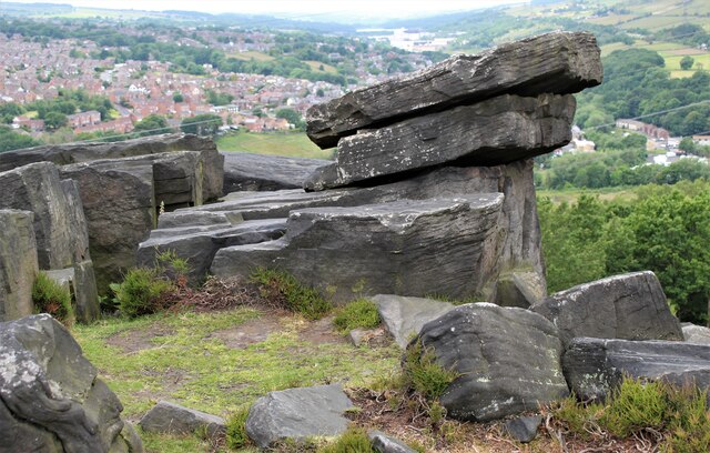
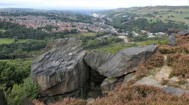
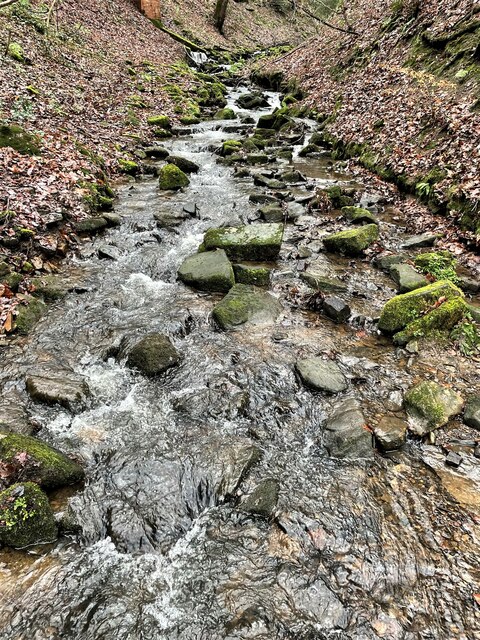
Dating back to the Iron Age, Walders Low was once a prominent hill fort that played a crucial role in defending the local inhabitants. The remains of the fortification can still be seen today, offering a glimpse into the region's ancient past. The site includes earthen ramparts and ditches, which once served as defensive structures, showcasing the strategic planning and engineering skills of the past.
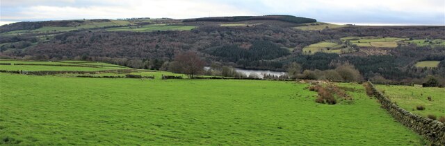
Beyond its historical significance, Walders Low also boasts stunning panoramic views of the surrounding countryside. Visitors can enjoy breathtaking vistas from the hilltop, which provide a captivating insight into the region's natural beauty.
Furthermore, the site offers an opportunity for archaeologists and history enthusiasts to explore the remnants of the past. Excavations have uncovered various artifacts, including pottery and tools, shedding light on the daily lives of the people who inhabited the area centuries ago.
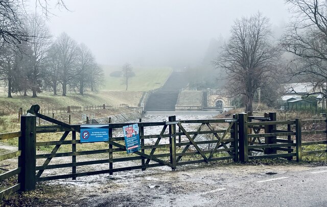
Walders Low is easily accessible, with well-maintained footpaths leading visitors to the site. The area is also known for its diverse flora and fauna, making it a perfect spot for nature lovers and hikers.
Overall, Walders Low in Yorkshire is a captivating heritage site that combines natural beauty with historical significance. Its ancient fortification, stunning views, and archaeological finds make it a must-visit destination for those interested in delving into the rich history of the region.
If you have any feedback on the listing, please let us know in the comments section below.
Walders Low Images
Images are sourced within 2km of 53.465/-1.585 or Grid Reference SK2796. Thanks to Geograph Open Source API. All images are credited.


Walders Low is located at Grid Ref: SK2796 (Lat: 53.465, Lng: -1.585)
Division: West Riding
Unitary Authority: Sheffield
Police Authority: South Yorkshire
What 3 Words
///meatball.comforted.parks. Near Stocksbridge, South Yorkshire
Nearby Locations
Related Wikis

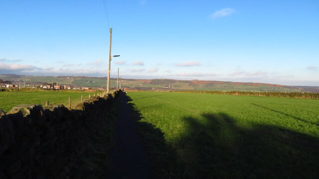
Ewden Valley
Ewden Valley is a valley in the civil parish of Bradfield in the Stocksbridge and Upper Don electoral ward of Sheffield, South Yorkshire, England.Ewden...
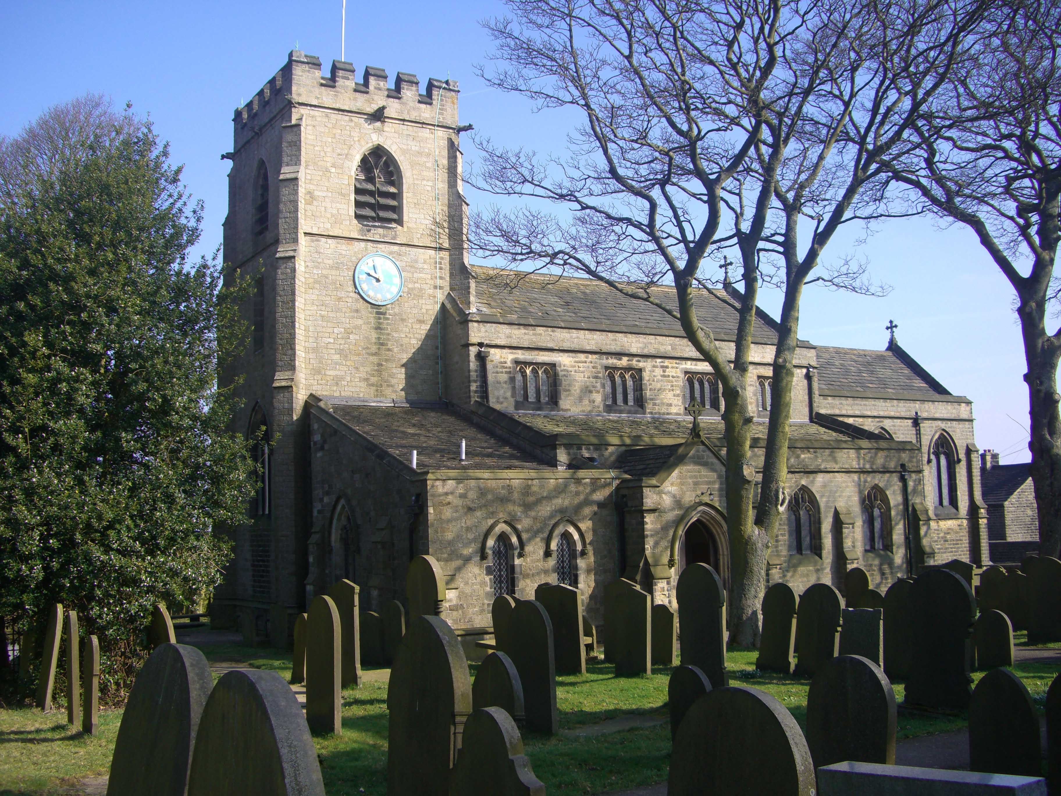
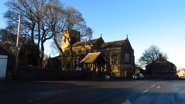
St Mary's Church, Bolsterstone
St Mary's Church, Bolsterstone is situated in the village of Bolsterstone, within the boundary of the City of Sheffield in South Yorkshire, England. The...
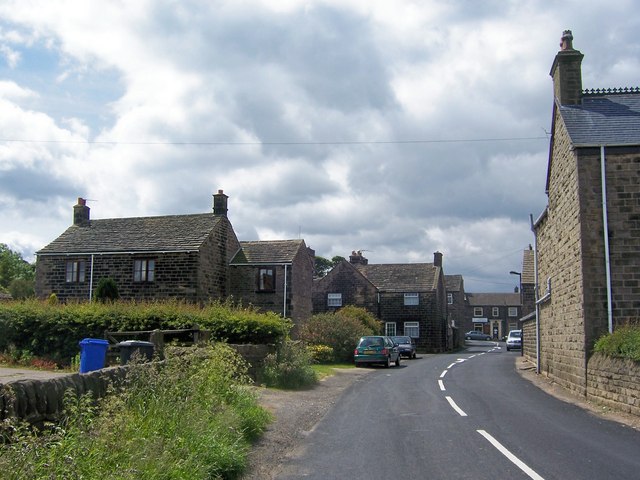
Bolsterstone
Bolsterstone is a village in South Yorkshire, England, south of Stocksbridge, and 8.5 miles to the northwest of the City of Sheffield and within the city...
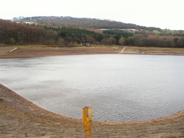
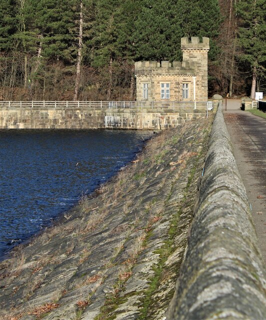
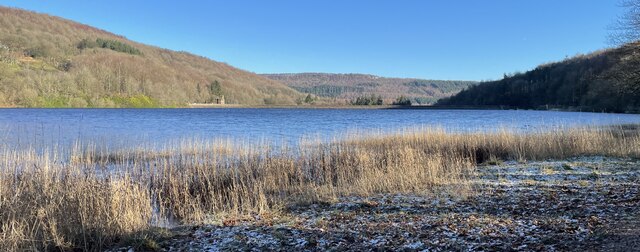
More Hall Reservoir
More Hall Reservoir is a reservoir located in the Ewden valley near Sheffield, South Yorkshire, England. The reservoir is situated to the south of Bolsterstone...
Nearby Amenities
Located within 500m of 53.465,-1.585Have you been to Walders Low?
Leave your review of Walders Low below (or comments, questions and feedback).