Cockshot Hill
Hill, Mountain in Yorkshire
England
Cockshot Hill
Cockshot Hill, located in the county of Yorkshire, England, is a prominent hill that forms part of the North York Moors National Park. Rising to an elevation of approximately 415 meters (1,361 feet), it stands as a distinctive landmark in the surrounding landscape.
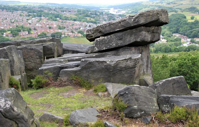
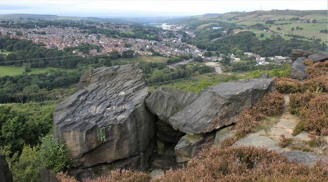
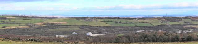
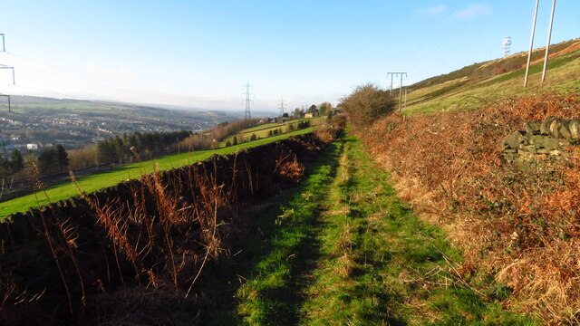
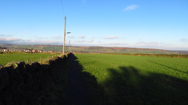
The hill is characterized by its gently sloping sides, covered in grass and heather, which lend it a picturesque appearance. Its summit offers panoramic views of the surrounding countryside, including the nearby villages, farmland, and the expansive moorlands that stretch out towards the horizon.
Cockshot Hill is renowned for its rich biodiversity and is home to a variety of plant and animal species. The hillside is adorned with vibrant wildflowers, including purple heather and yellow gorse, which bloom during the summer months, creating a colorful spectacle. It also provides a habitat for numerous bird species, such as skylarks and meadow pipits, which can be spotted soaring overhead.
The hill attracts outdoor enthusiasts and nature lovers alike, who come to explore the surrounding countryside and enjoy the tranquility it offers. Hiking and walking trails crisscross the area, allowing visitors to experience the beauty of the landscape up close. Additionally, the hill provides an excellent vantage point for photography enthusiasts, who can capture stunning views of the rolling hills and valleys below.
Overall, Cockshot Hill is a natural gem within the Yorkshire region, offering both breathtaking scenery and a haven for wildlife, making it a must-visit destination for those seeking to connect with nature.
If you have any feedback on the listing, please let us know in the comments section below.
Cockshot Hill Images
Images are sourced within 2km of 53.467748/-1.5844585 or Grid Reference SK2796. Thanks to Geograph Open Source API. All images are credited.


Cockshot Hill is located at Grid Ref: SK2796 (Lat: 53.467748, Lng: -1.5844585)
Division: West Riding
Unitary Authority: Sheffield
Police Authority: South Yorkshire
What 3 Words
///placed.campus.expiring. Near Stocksbridge, South Yorkshire
Nearby Locations
Related Wikis
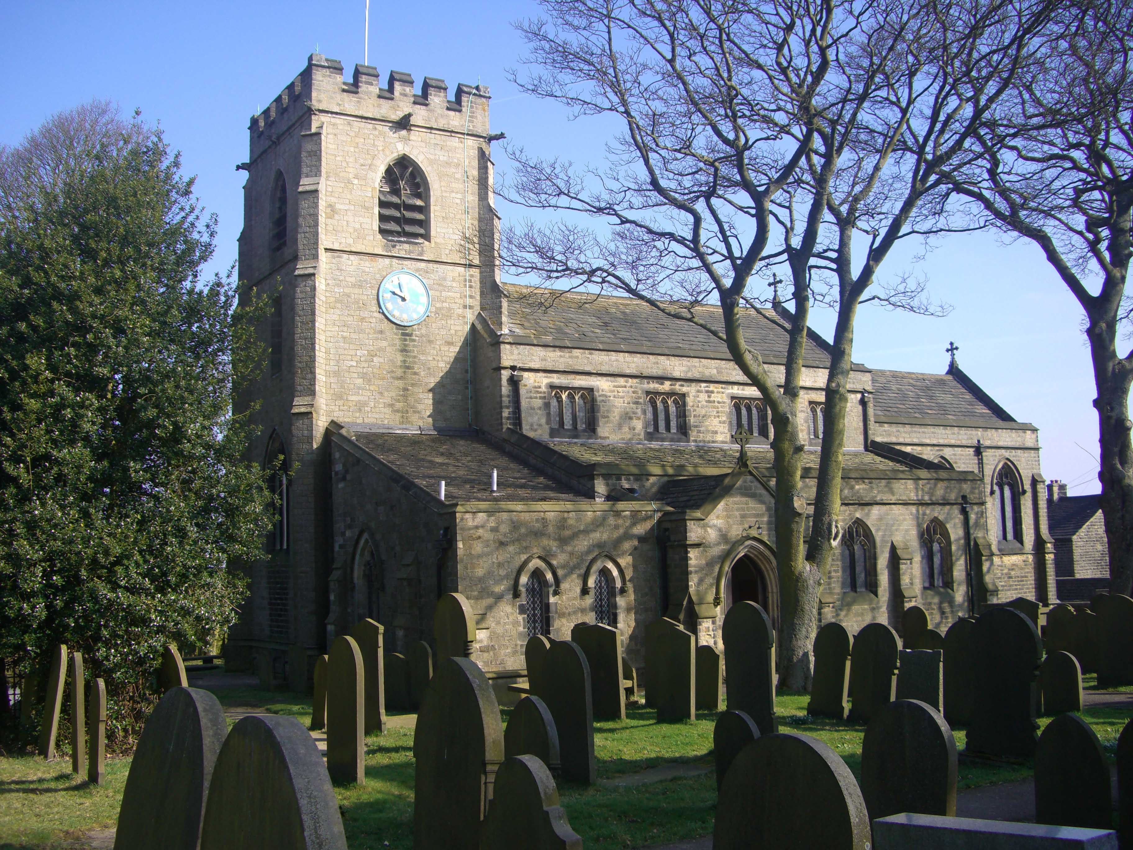
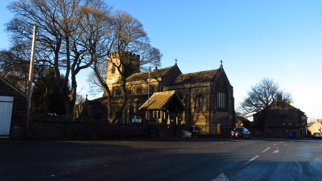
St Mary's Church, Bolsterstone
St Mary's Church, Bolsterstone is situated in the village of Bolsterstone, within the boundary of the City of Sheffield in South Yorkshire, England. The...
Bolsterstone
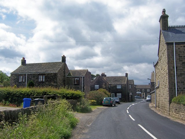
Bolsterstone is a village in South Yorkshire, England, south of Stocksbridge, and 8.5 miles to the northwest of the City of Sheffield and within the city...

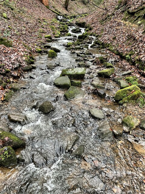
Ewden Valley
Ewden Valley is a valley in the civil parish of Bradfield in the Stocksbridge and Upper Don electoral ward of Sheffield, South Yorkshire, England.Ewden...

Stocksbridge Park Steels F.C.
Stocksbridge Park Steels Football Club is an English association football club based in Stocksbridge, South Yorkshire. They currently compete in the Northern...
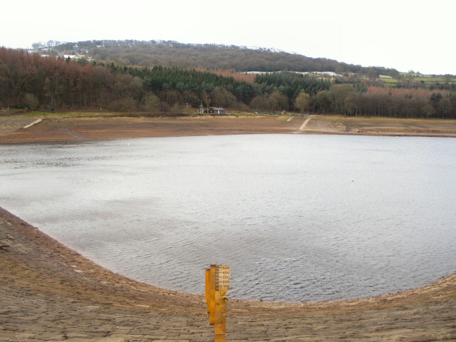
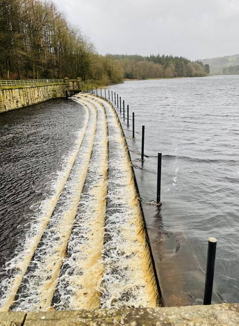
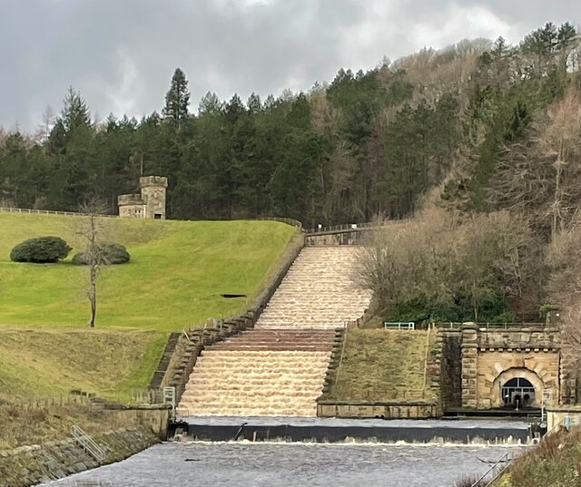
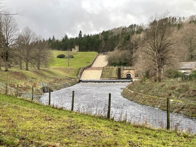
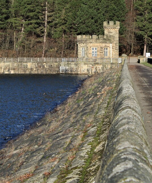
More Hall Reservoir
More Hall Reservoir is a reservoir located in the Ewden valley near Sheffield, South Yorkshire, England. The reservoir is situated to the south of Bolsterstone...

Stocksbridge
Stocksbridge is a town and civil parish, in the City of Sheffield, in South Yorkshire, England. Historically part of the West Riding of Yorkshire, it lies...

Deepcar
Deepcar is a village located on the eastern fringe of the town of Stocksbridge, South Yorkshire, England. It is in the electoral ward of Stocksbridge and...

Broomhead Reservoir
Broomhead Reservoir is a reservoir located in the Ewden Valley, near Sheffield in South Yorkshire, England. The reservoir is located to the south of Bolsterstone...
Nearby Amenities
Located within 500m of 53.467748,-1.5844585Have you been to Cockshot Hill?
Leave your review of Cockshot Hill below (or comments, questions and feedback).